Ash Hill Plantation

Wood, Forest in Devon Mid Devon

England

Ash Hill Plantation

Stoodleigh : Country Lane A small lane heading through the countryside.
Stoodleigh : Country Lane Credit: Lewis Clarke

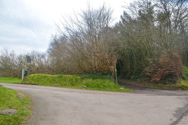
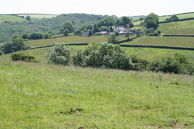
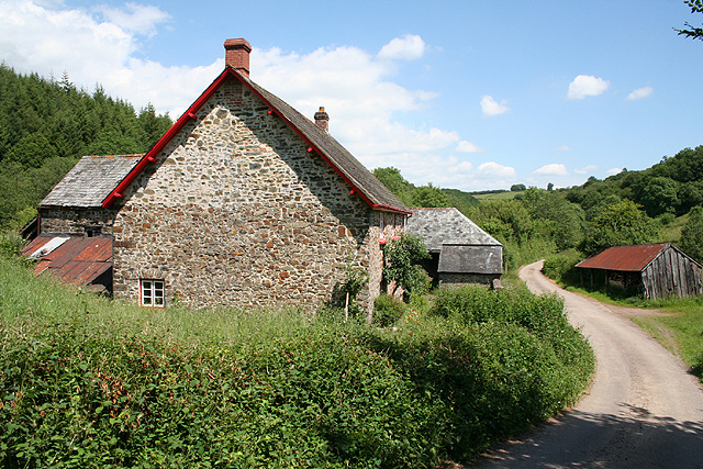
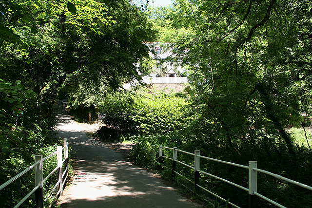
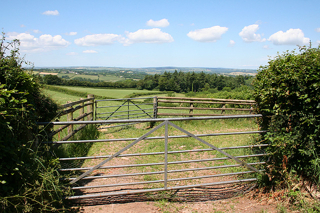
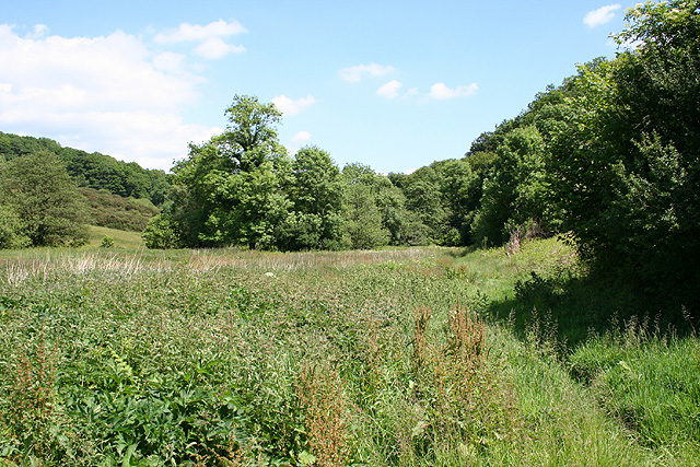
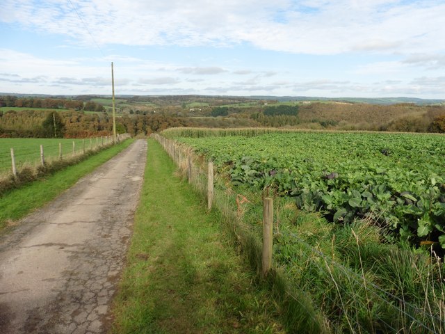
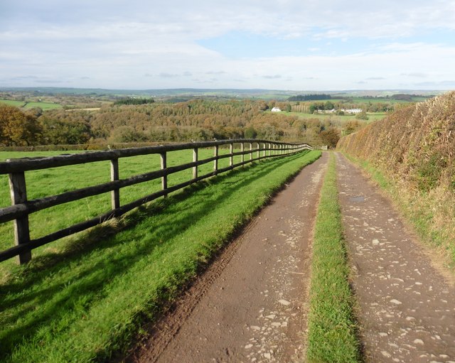
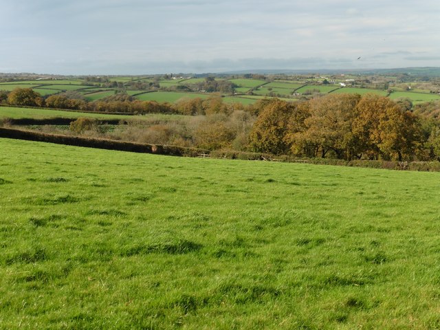
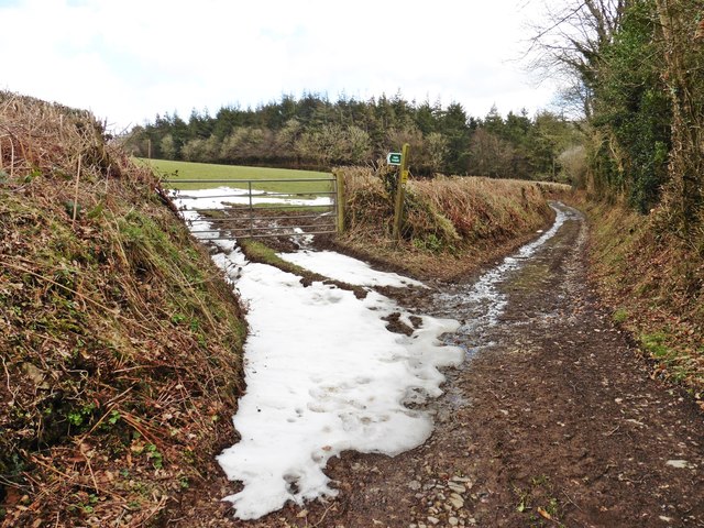
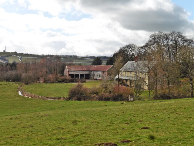
Ash Hill Plantation is a picturesque woodland located in Devon, England. Situated amidst the rolling hills and verdant valleys of the region, this plantation is known for its serene beauty and diverse flora and fauna.

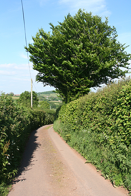
Covering an area of approximately 100 acres, Ash Hill Plantation boasts an impressive variety of trees, including oak, beech, and birch. The dense canopy provides a sheltered habitat for numerous bird species, such as woodpeckers, thrushes, and owls. Visitors to the plantation can often hear the delightful melodies of these feathered inhabitants as they explore the walking trails that wind through the woods.

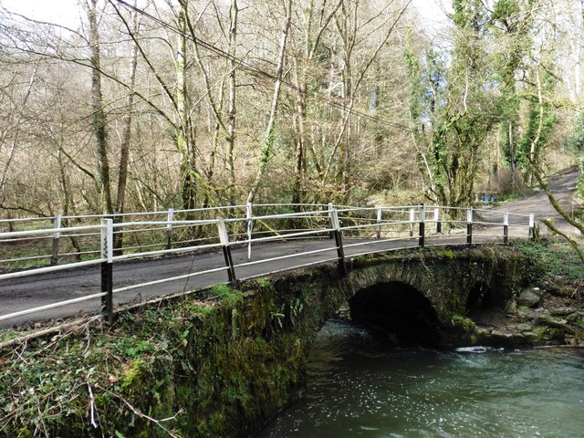
The natural beauty of Ash Hill Plantation is further enhanced by the presence of a small stream that meanders through the landscape, adding to the tranquil ambiance of the area. The stream is home to several species of freshwater fish, and its banks provide a haven for a range of aquatic plants and insects.

Nature enthusiasts flock to Ash Hill Plantation throughout the year to enjoy its scenic beauty and engage in activities such as birdwatching, hiking, and photography. The plantation also offers educational programs and guided tours, allowing visitors to learn more about the local ecosystem and the importance of conservation.

Ash Hill Plantation is easily accessible by foot or by car, with ample parking available for visitors. It is a cherished natural gem in Devon, providing a peaceful retreat for both locals and tourists seeking to connect with nature and soak in the tranquil atmosphere of this idyllic woodland.

If you have any feedback on the listing, please let us know in the comments section below.

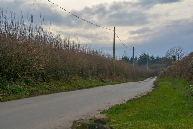
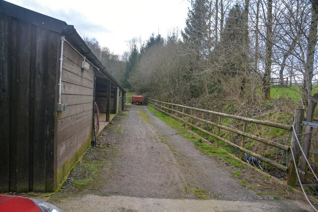
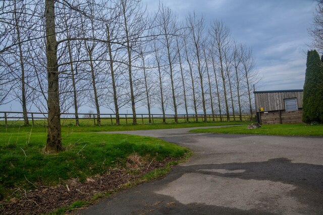
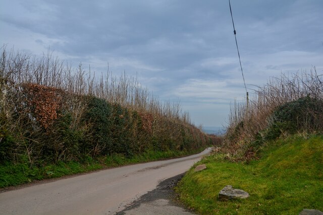
Ash Hill Plantation Images

Images are sourced within 2km of 50.962893/-3.5435826 or Grid Reference SS9119. Thanks to Geograph Open Source API. All images are credited.

Stoodleigh : Country Lane A small lane heading through the countryside.
Stoodleigh : Country Lane
A small lane heading through the countryside.
Stoodleigh : West Steart Farm Looking along a track by a barn.
Stoodleigh : West Steart Farm
Looking along a track by a barn.
Stoodleigh : West Steart Farm A road heads to the farm.
Stoodleigh : West Steart Farm
A road heads to the farm.
Stoodleigh : Country Lane A small lane.
Stoodleigh : Country Lane
A small lane.
Stoodleigh : Country Lane A small lane heads off to West Steart Farm.
Stoodleigh : Country Lane
A small lane heads off to West Steart Farm.
Stoodleigh: by Coleford Bottom Looking south towards Great Coleford farm
Stoodleigh: by Coleford Bottom
Looking south towards Great Coleford farm
Stoodleigh: Aldridge Mill The watermill is thought to be the structure standing to the left, behind the miller’s house. There was a farm or smallholding here as well, judging by the adjoining barns. Looking east
Stoodleigh: Aldridge Mill
The watermill is thought to be the structure standing to the left, behind the miller’s house. There was a farm or smallholding here as well, judging by the adjoining barns. Looking east
Stoodleigh: above Great Coleford Lane to Rull and Stoodleigh
Stoodleigh: above Great Coleford
Lane to Rull and Stoodleigh
Stoodleigh: Iron Mill Bridge A crossing of the Iron Mill Stream, which provides the parish boundary. On the far side of the stream the house on the hill – Iron Mill – is in Oakford parish. Looking north
Stoodleigh: Iron Mill Bridge
A crossing of the Iron Mill Stream, which provides the parish boundary. On the far side of the stream the house on the hill – Iron Mill – is in Oakford parish. Looking north
Stoodleigh: near Stoodleighmoor Looking north west
Stoodleigh: near Stoodleighmoor
Looking north west
Stoodleigh: near Aldridge Mill The valley of the Iron Mill Stream, looking east. The path seen here is not a public right of way
Stoodleigh: near Aldridge Mill
The valley of the Iron Mill Stream, looking east. The path seen here is not a public right of way
Track to Honeywell
Track to Honeywell
Track to 'Down'
Track to 'Down'
Pasture above 'Down'
Iron Mill Bridge
Iron Mill Bridge
Iron Mill Cottage
Iron Mill Cottage
Track on Nethercott Hill
Nethercott Farm
Nethercott Farm
Show me another place!

Ash Hill Plantation is located at Grid Ref: SS9119 (Lat: 50.962893, Lng: -3.5435826)

Administrative County: Devon

District: Mid Devon

Police Authority: Devon and Cornwall

What 3 Words

///adjusting.grapevine.plankton. Near Tiverton, Devon

Related Wikis

Stoodleigh

Stoodleigh is a village and civil parish in the Mid Devon district of Devon, England, located 6 miles (10 km) north of Tiverton and 5 miles (8 km) south...

Oakford, Devon

Oakford is a village and civil parish in the Mid Devon district of Devon, England. It is located three miles (5 km) south west of Bampton and eight miles...

Castle Close

Castle Close is a circular earthwork located near Stoodleigh in Mid Devon, England at OS grid reference SS937181. It is described on maps as a settlement...

Oakfordbridge

Oakfordbridge is a village in Devon, England. == References == The geographic coordinates are from the Ordnance Survey. == External links == Media related...

Nearby Amenities

Located within 500m of 50.962893,-3.5435826
Kissing Gate Cross
Place: locality
Lat/Long: 50.9587488/-3.5445161
Quoit-at-Cross
Place: locality
Lat/Long: 50.9603999/-3.5381614
Generator Method: photovoltaic
Generator Output Electricity: yes
Generator Source: solar
Generator Type: solar_photovoltaic_panel
Location: roof
Power: generator
Lat/Long: 50.9590011/-3.5417107
Generator Method: photovoltaic
Generator Output Electricity: yes
Generator Source: solar
Generator Type: solar_photovoltaic_panel
Location: roof
Power: generator
Lat/Long: 50.9589521/-3.541641
Generator Method: photovoltaic
Generator Output Electricity: yes
Generator Source: solar
Generator Type: solar_photovoltaic_panel
Location: roof
Power: generator
Lat/Long: 50.9621252/-3.5439705
The data included in this document is from www.openstreetmap.org. The data is made available under ODbL.

Have you been to Ash Hill Plantation?

Leave your review of Ash Hill Plantation below (or comments, questions and feedback).