Long Plantation

Wood, Forest in Devon East Devon

England

Long Plantation

Approaching Dunsford Hill Nearing the western end of Hulk Lane.
Approaching Dunsford Hill Credit: Derek Harper

Long Plantation is a charming woodland located in the county of Devon, England. Situated in the heart of the county, this sprawling forest covers an impressive area of land and holds a rich history. The plantation is characterized by its dense and diverse collection of trees, creating a picturesque and serene environment that attracts visitors from near and far.

The woodland is home to a wide variety of tree species, including oak, beech, birch, and pine. This assortment of trees provides a beautiful mosaic of colors throughout the year, particularly during the autumn season when the foliage transforms into vibrant shades of red, orange, and gold.

The forest is a haven for wildlife, offering a sanctuary for numerous species. Birdwatchers can spot an array of feathered inhabitants, including woodpeckers, owls, and various songbirds. The woodland is also home to an assortment of mammals, such as deer, foxes, and badgers.

Long Plantation is not only a natural treasure but also a recreational hotspot. The forest boasts a network of well-maintained walking trails, allowing visitors to explore its beauty at their leisure. The trails wind through the woodland, taking hikers past picturesque viewpoints, tranquil streams, and hidden clearings. Additionally, the plantation offers opportunities for cycling, horseback riding, and picnicking, making it a popular destination for outdoor enthusiasts of all ages.

Overall, Long Plantation in Devon is a remarkable woodland that showcases the beauty of nature. With its diverse array of trees, abundance of wildlife, and recreational activities, it is a place where visitors can immerse themselves in the wonders of the natural world.

If you have any feedback on the listing, please let us know in the comments section below.

Long Plantation Images

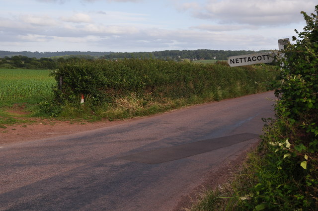
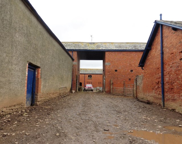
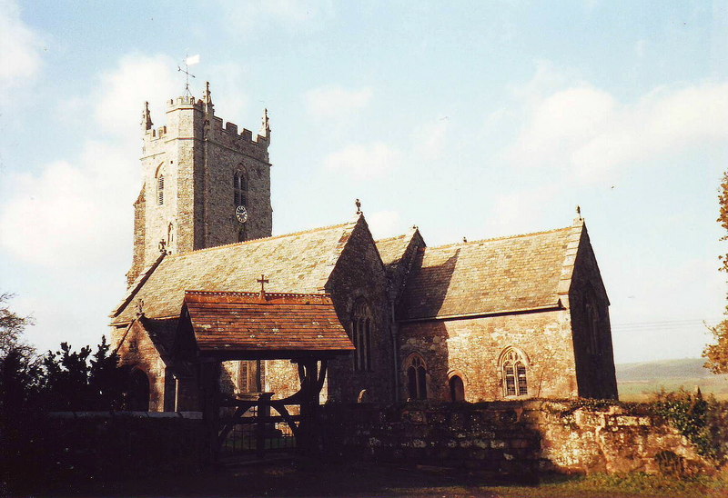
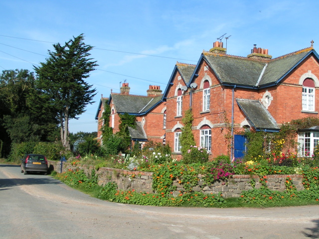
Images are sourced within 2km of 50.782122/-3.5374791 or Grid Reference SX9199. Thanks to Geograph Open Source API. All images are credited.

Approaching Dunsford Hill Nearing the western end of Hulk Lane.
Approaching Dunsford Hill
Nearing the western end of Hulk Lane.
Junction on Dunsford Hill On the left is Hulk lane, no longer a through road as shown in <a href="https://www.geograph.org.uk/photo/5720208">SS9200 : Hulk Lane closed to through traffic</a>, though it still appears to be on OS maps.
Junction on Dunsford Hill
On the left is Hulk lane, no longer a through road as shown in SS9200 : Hulk Lane closed to through traffic, though it still appears to be on OS maps.
Dunsford Hill near Yellowford Branching off to the left is Thorverton footpath 8, to Berrysbridge.
Dunsford Hill near Yellowford
Branching off to the left is Thorverton footpath 8, to Berrysbridge.
Footpath, Yellowford Thorverton footpath 8, to Berrysbridge, shortly after leaving Dunsford Hill as shown in <a href="https://www.geograph.org.uk/photo/7292767">SS9201 : Dunsford Hill near Yellowford</a>.
Footpath, Yellowford
Thorverton footpath 8, to Berrysbridge, shortly after leaving Dunsford Hill as shown in SS9201 : Dunsford Hill near Yellowford.
Inscribed stone at Jackmoor Cross The stone at the foot of the signpost is identified as a Boundary Stone on the OS map.  On the face that is visible, the name Pynes can be read.  The OS marks a district boundary here which follows the road south and field boundaries to the west and north.
Inscribed stone at Jackmoor Cross
The stone at the foot of the signpost is identified as a Boundary Stone on the OS map. On the face that is visible, the name Pynes can be read. The OS marks a district boundary here which follows the road south and field boundaries to the west and north.
Mid Devon : Countryside Scenery Looking out across the countryside of Mid Devon.
Mid Devon : Countryside Scenery
Looking out across the countryside of Mid Devon.
Mid Devon : Country Road A road heading through the Mid Devon countryside.
Mid Devon : Country Road
A road heading through the Mid Devon countryside.
East Devon : :Little Nettacott A house with a driveway on the left.
East Devon : :Little Nettacott
A house with a driveway on the left.
East Devon : Countryside Scenery Looking out across the East Devon countryside.
East Devon : Countryside Scenery
Looking out across the East Devon countryside.
East Devon : Country Road A road heading through the East Devon countryside.
East Devon : Country Road
A road heading through the East Devon countryside.
East Devon : Country Road A road heading through the East Devon countryside.
East Devon : Country Road
A road heading through the East Devon countryside.
Farmyard at Netherexe Barton
Outbuildings at Yellowford Farm
House at Yellowford
House at Yellowford
Hulk Lane closed to through traffic
Turning for Upton Pyne
Public footpath at Winscott The path leads east from Winscott to Jackmoor Brook <a href="https://www.geograph.org.uk/photo/2298979">SX9098 : Bridge over Jackmoor Brook</a>
Public footpath at Winscott
The path leads east from Winscott to Jackmoor Brook SX9098 : Bridge over Jackmoor Brook
Road to Jackmoor from Jackmoor Cross
Show me another place!

Long Plantation is located at Grid Ref: SX9199 (Lat: 50.782122, Lng: -3.5374791)

Administrative County: Devon

District: East Devon

Police Authority: Devon and Cornwall

What 3 Words

///shudders.fortunes.airship. Near Silverton, Devon

Related Wikis

Berrysbridge

Berrysbridge is a village in Devon, England. == External links == Media related to Berrysbridge at Wikimedia Commons

Brampford Speke

Brampford Speke ( BRAM-fərdz-beek) is a small village in Devon, 4 miles (6 km) to the north of Exeter. The population is 419. It is located on red sandstone...

Upton Pyne

Upton Pyne is a parish and village in Devon, England. The parish lies just north west of Exeter, mainly between the River Exe and River Creedy. The village...

Nether Exe

Nether Exe or Netherexe is a very small village and civil parish in Devon, England. It lies near the River Exe, as its name suggests, about 5 miles (8...

Nearby Amenities

Located within 500m of 50.782122,-3.5374791
Generator Method: photovoltaic
Generator Output Electricity: yes
Generator Source: solar
Generator Type: solar_photovoltaic_panel
Power: generator
Lat/Long: 50.7788584/-3.5390881
Addr Housename: Pynewell
Addr Street: Red Rock Road
Lat/Long: 50.7790023/-3.5383887
Addr Housename: Pyne Springs
Addr Street: Red Rock Road
Lat/Long: 50.7789334/-3.5388302
The data included in this document is from www.openstreetmap.org. The data is made available under ODbL.

Have you been to Long Plantation?

Leave your review of Long Plantation below (or comments, questions and feedback).