Turley Plantation

Wood, Forest in Devon Mid Devon

England

Turley Plantation

Aldridge Mill Farm The farmhouse, currently clad in scaffolding for a new roof, is listed and described at <span class="nowrap"><a title="https://historicengland.org.uk/listing/the-list/list-entry/1169961?section=official-list-entry" rel="nofollow ugc noopener" href="https://historicengland.org.uk/listing/the-list/list-entry/1169961?section=official-list-entry">Link</a><img style="margin-left:2px;" alt="External link" title="External link - shift click to open in new window" src="https://s1.geograph.org.uk/img/external.png" width="10" height="10"/></span> . On the right is the right return of the farm buildings described at <span class="nowrap"><a title="https://historicengland.org.uk/listing/the-list/list-entry/1106912?section=official-list-entry" rel="nofollow ugc noopener" href="https://historicengland.org.uk/listing/the-list/list-entry/1106912?section=official-list-entry">Link</a><img style="margin-left:2px;" alt="External link" title="External link - shift click to open in new window" src="https://s1.geograph.org.uk/img/external.png" width="10" height="10"/></span> . Ahead are the two walkers seen in <a href="https://www.geograph.org.uk/photo/7749630">SS9020 : Path to the Iron Mill Stream valley</a>. The sign on the right indicates the start of  Stoodleigh footpath 4.
Aldridge Mill Farm Credit: Derek Harper

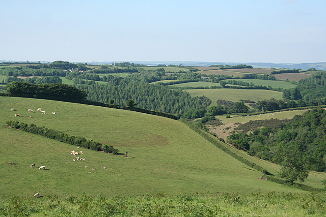
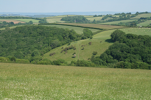
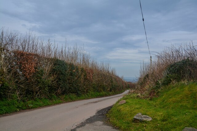
Turley Plantation is a sprawling woodland estate located in the county of Devon, England. Situated amidst the stunning natural beauty of the Devonshire countryside, the plantation is renowned for its vast woodlands and idyllic surroundings. Covering an area of approximately 500 acres, Turley Plantation offers a diverse range of habitats, including ancient woodland, open meadows, and picturesque lakes.

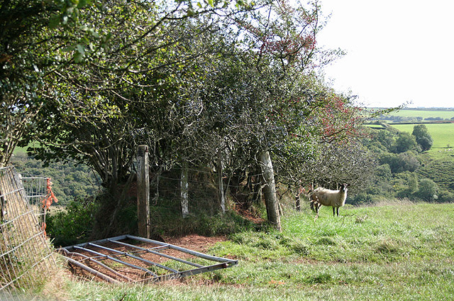
The plantation is home to a rich variety of plant and animal species, making it an important site for conservation. The ancient woodland is particularly notable, with towering oak, beech, and ash trees dating back centuries. These trees provide a habitat for a multitude of wildlife, including deer, badgers, foxes, and numerous bird species.

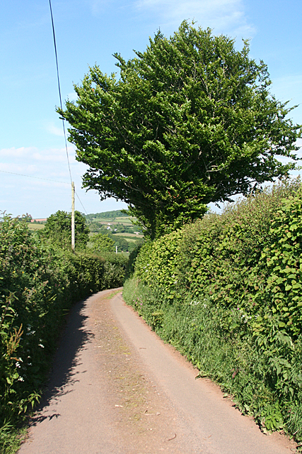
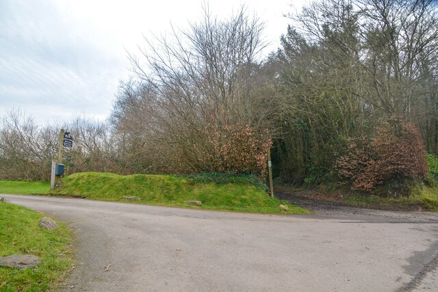
Visitors to Turley Plantation can enjoy a range of recreational activities, such as hiking, cycling, and picnicking. The plantation boasts an extensive network of well-maintained trails that wind through the woodland, offering visitors the chance to explore its hidden corners and discover its natural treasures. The tranquil lakes provide a serene setting for fishing and birdwatching, attracting enthusiasts from far and wide.

Turley Plantation is also steeped in history, with traces of its past visible throughout the estate. The remains of an old iron smelting furnace can be found on the grounds, serving as a reminder of the area's industrial heritage.

Overall, Turley Plantation is a haven for nature lovers and outdoor enthusiasts, offering a unique opportunity to immerse oneself in the beauty of Devon's woodlands and experience the rich biodiversity that thrives within its boundaries.

If you have any feedback on the listing, please let us know in the comments section below.

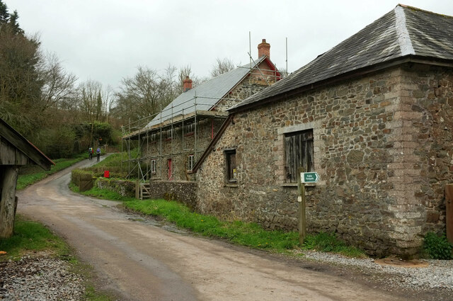
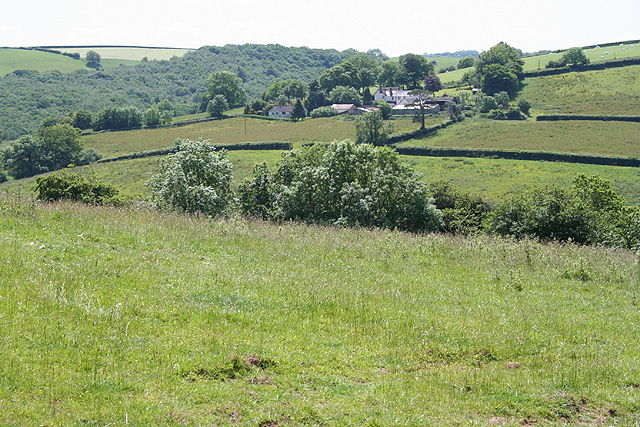
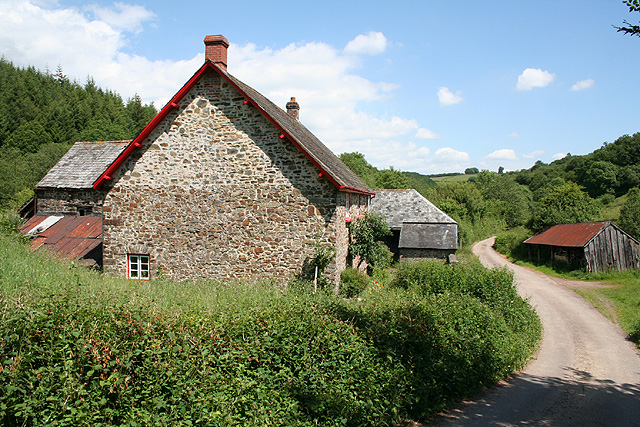
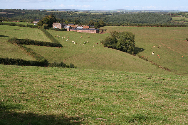
Turley Plantation Images

Images are sourced within 2km of 50.961836/-3.5534017 or Grid Reference SS9119. Thanks to Geograph Open Source API. All images are credited.

Aldridge Mill Farm The farmhouse, currently clad in scaffolding for a new roof, is listed and described at <span class="nowrap"><a title="https://historicengland.org.uk/listing/the-list/list-entry/1169961?section=official-list-entry" rel="nofollow ugc noopener" href="https://historicengland.org.uk/listing/the-list/list-entry/1169961?section=official-list-entry">Link</a><img style="margin-left:2px;" alt="External link" title="External link - shift click to open in new window" src="https://s1.geograph.org.uk/img/external.png" width="10" height="10"/></span> . On the right is the right return of the farm buildings described at <span class="nowrap"><a title="https://historicengland.org.uk/listing/the-list/list-entry/1106912?section=official-list-entry" rel="nofollow ugc noopener" href="https://historicengland.org.uk/listing/the-list/list-entry/1106912?section=official-list-entry">Link</a><img style="margin-left:2px;" alt="External link" title="External link - shift click to open in new window" src="https://s1.geograph.org.uk/img/external.png" width="10" height="10"/></span> . Ahead are the two walkers seen in <a href="https://www.geograph.org.uk/photo/7749630">SS9020 : Path to the Iron Mill Stream valley</a>. The sign on the right indicates the start of  Stoodleigh footpath 4.
Aldridge Mill Farm
The farmhouse, currently clad in scaffolding for a new roof, is listed and described at LinkExternal link . On the right is the right return of the farm buildings described at LinkExternal link . Ahead are the two walkers seen in SS9020 : Path to the Iron Mill Stream valley. The sign on the right indicates the start of Stoodleigh footpath 4.
Aldridge Mill Farm A reverse view of  <a href="https://www.geograph.org.uk/photo/7750342">SS8920 : Aldridge Mill Farm</a>, with the farmhouse <span class="nowrap"><a title="https://historicengland.org.uk/listing/the-list/list-entry/1169961?section=official-list-entry" rel="nofollow ugc noopener" href="https://historicengland.org.uk/listing/the-list/list-entry/1169961?section=official-list-entry">Link</a><img style="margin-left:2px;" alt="External link" title="External link - shift click to open in new window" src="https://s1.geograph.org.uk/img/external.png" width="10" height="10"/></span> on the left and a little more of the outbuildings <span class="nowrap"><a title="https://historicengland.org.uk/listing/the-list/list-entry/1106912?section=official-list-entry" rel="nofollow ugc noopener" href="https://historicengland.org.uk/listing/the-list/list-entry/1106912?section=official-list-entry">Link</a><img style="margin-left:2px;" alt="External link" title="External link - shift click to open in new window" src="https://s1.geograph.org.uk/img/external.png" width="10" height="10"/></span> beyond.
Aldridge Mill Farm
A reverse view of SS8920 : Aldridge Mill Farm, with the farmhouse LinkExternal link on the left and a little more of the outbuildings LinkExternal link beyond.
Track and lane junction The lane up the Iron Mill Stream valley passes a public access route up Coleford Bottom. On the left is Little Wood; on the right, across the valley, is Pinkworthy Furzeball Plantation.
Track and lane junction
The lane up the Iron Mill Stream valley passes a public access route up Coleford Bottom. On the left is Little Wood; on the right, across the valley, is Pinkworthy Furzeball Plantation.
Pond, Bellbrook One of the smallest of a series of ponds at Bellbrook, seen from the lane. A waterfall feeds it from the next pond in the ladder. A yellow arum is conspicuous at the waterside. In the background is Little Wood.
Pond, Bellbrook
One of the smallest of a series of ponds at Bellbrook, seen from the lane. A waterfall feeds it from the next pond in the ladder. A yellow arum is conspicuous at the waterside. In the background is Little Wood.
Iron Mill Stream valley at Bellbrook A view from the lane to Spurway Mill. Behind is East Pinkworthy Wood.
Iron Mill Stream valley at Bellbrook
A view from the lane to Spurway Mill. Behind is East Pinkworthy Wood.
Stoodleigh: by Coleford Bottom Looking south towards Great Coleford farm
Stoodleigh: by Coleford Bottom
Looking south towards Great Coleford farm
Stoodleigh: Aldridge Mill The watermill is thought to be the structure standing to the left, behind the miller’s house. There was a farm or smallholding here as well, judging by the adjoining barns. Looking east
Stoodleigh: Aldridge Mill
The watermill is thought to be the structure standing to the left, behind the miller’s house. There was a farm or smallholding here as well, judging by the adjoining barns. Looking east
Stoodleigh: towards Thorne Farm Looking north-north-west by the entrance to Thorne Farm
Stoodleigh: towards Thorne Farm
Looking north-north-west by the entrance to Thorne Farm
Stoodleigh: above Rifton Wood Looking south-south-east by a sharp bend on the lane from Great Coleford to Broadmead Cross
Stoodleigh: above Rifton Wood
Looking south-south-east by a sharp bend on the lane from Great Coleford to Broadmead Cross
Stoodleigh: above Great Coleford Lane to Rull and Stoodleigh
Stoodleigh: above Great Coleford
Lane to Rull and Stoodleigh
Stoodleigh: above Coleford Bottom Seen by the entrance to Thorne Farm
Stoodleigh: above Coleford Bottom
Seen by the entrance to Thorne Farm
Stoodleigh: above Wapsley The farm is hidden in a steep valley. Seen from the lane between Stoodleigh Beacon and Great Coleford
Stoodleigh: above Wapsley
The farm is hidden in a steep valley. Seen from the lane between Stoodleigh Beacon and Great Coleford
Stoodleigh: towards Rifton Wood Seen from a lane near Stoodleigh Beacon
Stoodleigh: towards Rifton Wood
Seen from a lane near Stoodleigh Beacon
Stoodleigh : Country Lane A small lane.
Stoodleigh : Country Lane
A small lane.
Stoodleigh : Country Lane A small lane heads off to West Steart Farm.
Stoodleigh : Country Lane
A small lane heads off to West Steart Farm.
Trees on bank, Oakford From Oakford footpath 8, with a glimpse of Oakford church  <a title="https://www.geograph.org.uk/gridref/SS9121?centi=SS910212" href="https://www.geograph.org.uk/gridref/SS9121?centi=SS910212">Link</a> .
Trees on bank, Oakford
From Oakford footpath 8, with a glimpse of Oakford church Link .
Field near Oakford A view across the field in the foreground of  <a href="https://www.geograph.org.uk/photo/7747430">SS9121 : Red Lion Hotel, Oakford</a>. The tall tower is a silo at Parsonage Farm.
Field near Oakford
A view across the field in the foreground of SS9121 : Red Lion Hotel, Oakford. The tall tower is a silo at Parsonage Farm.
Towards the Iron Mill Stream valley The wooded valley seen across sheep pasture from Oakford footpath 8.
Towards the Iron Mill Stream valley
The wooded valley seen across sheep pasture from Oakford footpath 8.
Show me another place!

Turley Plantation is located at Grid Ref: SS9119 (Lat: 50.961836, Lng: -3.5534017)

Administrative County: Devon

District: Mid Devon

Police Authority: Devon and Cornwall

What 3 Words

///unloads.receiving.rotate. Near Tiverton, Devon

Related Wikis

Stoodleigh

Stoodleigh is a village and civil parish in the Mid Devon district of Devon, England, located 6 miles (10 km) north of Tiverton and 5 miles (8 km) south...

Oakford, Devon

Oakford is a village and civil parish in the Mid Devon district of Devon, England. It is located three miles (5 km) south west of Bampton and eight miles...

Oakfordbridge

Oakfordbridge is a village in Devon, England. == References == The geographic coordinates are from the Ordnance Survey. == External links == Media related...

Castle Close

Castle Close is a circular earthwork located near Stoodleigh in Mid Devon, England at OS grid reference SS937181. It is described on maps as a settlement...

Nearby Amenities

Located within 500m of 50.961836,-3.5534017
The data included in this document is from www.openstreetmap.org. The data is made available under ODbL.

Have you been to Turley Plantation?

Leave your review of Turley Plantation below (or comments, questions and feedback).