Marshlade Plantation

Wood, Forest in Devon Mid Devon

England

Marshlade Plantation

Stoodleigh : Country Lane A small lane heading through the countryside.
Stoodleigh : Country Lane Credit: Lewis Clarke

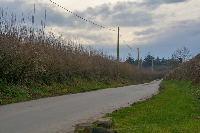
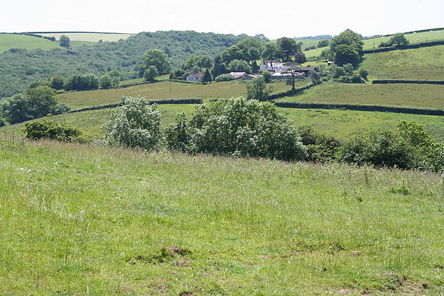
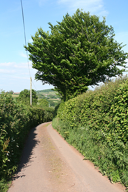
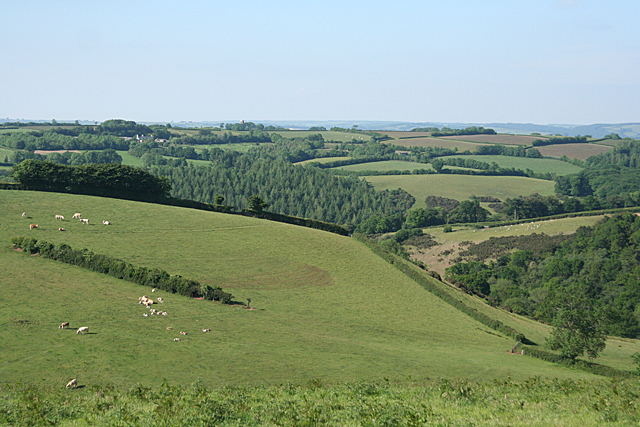
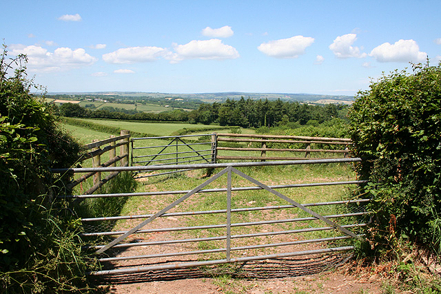
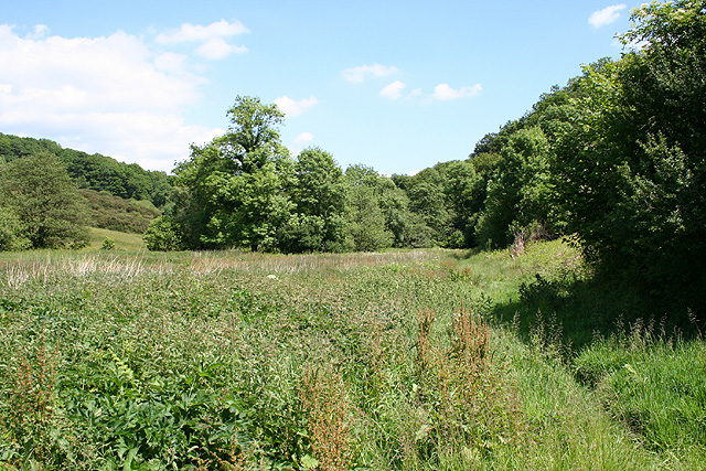
Marshlade Plantation is a picturesque woodland area located in the county of Devon, England. Situated in the scenic countryside of the South West, this plantation is renowned for its natural beauty and diverse range of flora and fauna.

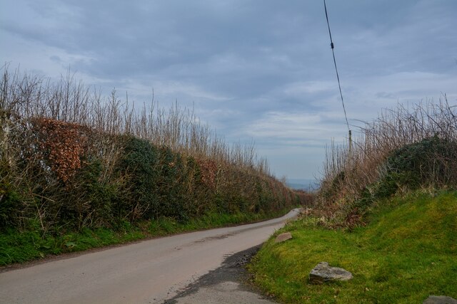
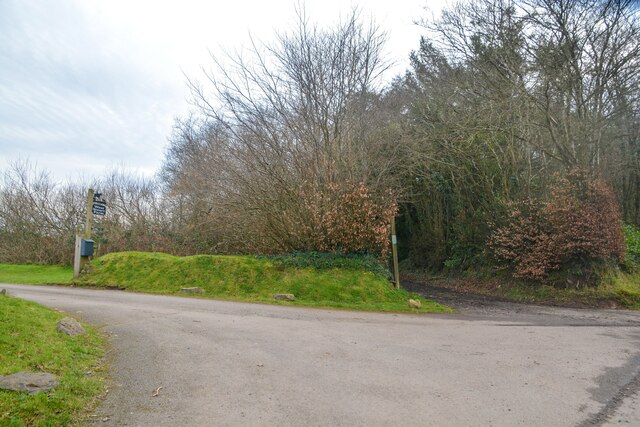
Covering an expansive area, Marshlade Plantation is predominantly composed of dense woodland, creating a tranquil and serene environment for visitors to explore. The plantation is characterized by the presence of several species of trees, including oak, beech, and birch, which provide a dense canopy and create a rich tapestry of colors throughout the seasons.

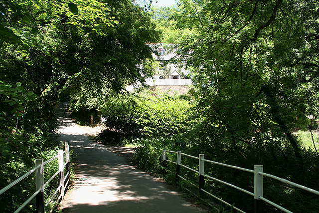
The woodland is crisscrossed with numerous walking trails and paths, allowing visitors to immerse themselves in the natural setting and discover the abundant wildlife that calls Marshlade Plantation home. Bird enthusiasts will be delighted by the variety of avian species that can be found here, including woodpeckers, owls, and various songbirds.

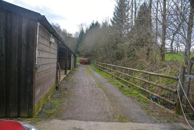
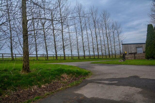
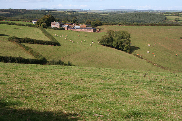
In addition to its natural beauty, Marshlade Plantation also serves important ecological functions. The woodland acts as a carbon sink, absorbing carbon dioxide from the atmosphere and promoting cleaner air quality. It also provides a habitat for a wide range of wildlife, including deer, foxes, and squirrels.

Visitors to Marshlade Plantation can enjoy a peaceful and rejuvenating experience, surrounded by the sights and sounds of nature. Whether it be a leisurely stroll through the woodland or a more adventurous hike, Marshlade Plantation offers something for everyone seeking solace and tranquility in the heart of Devon's beautiful countryside.

If you have any feedback on the listing, please let us know in the comments section below.

Marshlade Plantation Images

Images are sourced within 2km of 50.964894/-3.5459844 or Grid Reference SS9119. Thanks to Geograph Open Source API. All images are credited.

Stoodleigh : Country Lane A small lane heading through the countryside.
Stoodleigh : Country Lane
A small lane heading through the countryside.
Stoodleigh : West Steart Farm Looking along a track by a barn.
Stoodleigh : West Steart Farm
Looking along a track by a barn.
Stoodleigh : West Steart Farm A road heads to the farm.
Stoodleigh : West Steart Farm
A road heads to the farm.
Stoodleigh : Country Lane A small lane.
Stoodleigh : Country Lane
A small lane.
Stoodleigh : Country Lane A small lane heads off to West Steart Farm.
Stoodleigh : Country Lane
A small lane heads off to West Steart Farm.
Stoodleigh: by Coleford Bottom Looking south towards Great Coleford farm
Stoodleigh: by Coleford Bottom
Looking south towards Great Coleford farm
Stoodleigh: Aldridge Mill The watermill is thought to be the structure standing to the left, behind the miller’s house. There was a farm or smallholding here as well, judging by the adjoining barns. Looking east
Stoodleigh: Aldridge Mill
The watermill is thought to be the structure standing to the left, behind the miller’s house. There was a farm or smallholding here as well, judging by the adjoining barns. Looking east
Stoodleigh: towards Thorne Farm Looking north-north-west by the entrance to Thorne Farm
Stoodleigh: towards Thorne Farm
Looking north-north-west by the entrance to Thorne Farm
Stoodleigh: above Great Coleford Lane to Rull and Stoodleigh
Stoodleigh: above Great Coleford
Lane to Rull and Stoodleigh
Stoodleigh: above Coleford Bottom Seen by the entrance to Thorne Farm
Stoodleigh: above Coleford Bottom
Seen by the entrance to Thorne Farm
Oakford: Rookery Hill Midway down on the left of the main street is the Red Lion Hotel and a little further on the village shop is in a converted chapel built in 1888. Looking east-north-east
Oakford: Rookery Hill
Midway down on the left of the main street is the Red Lion Hotel and a little further on the village shop is in a converted chapel built in 1888. Looking east-north-east
Stoodleigh: Iron Mill Bridge A crossing of the Iron Mill Stream, which provides the parish boundary. On the far side of the stream the house on the hill – Iron Mill – is in Oakford parish. Looking north
Stoodleigh: Iron Mill Bridge
A crossing of the Iron Mill Stream, which provides the parish boundary. On the far side of the stream the house on the hill – Iron Mill – is in Oakford parish. Looking north
Stoodleigh: near Stoodleighmoor Looking north west
Stoodleigh: near Stoodleighmoor
Looking north west
Stoodleigh: near Aldridge Mill The valley of the Iron Mill Stream, looking east. The path seen here is not a public right of way
Stoodleigh: near Aldridge Mill
The valley of the Iron Mill Stream, looking east. The path seen here is not a public right of way
Oakford : The Red Lion Hotel A hotel and pub in the heart of Oakford.
Oakford : The Red Lion Hotel
A hotel and pub in the heart of Oakford.
Oakford : Rookery Hill Looking along the road which heads through Oakford.
Oakford : Rookery Hill
Looking along the road which heads through Oakford.
Oakford (Mid Devon)  War Memorial Oakford is small village on the B3227  between Tiverton and Bampton
The memorial  shows eight names on the brass plaque of those from the village that were killed in the Great War of 1914-1918,  and four names for the Second World War 1939-1945
Oakford (Mid Devon) War Memorial
Oakford is small village on the B3227 between Tiverton and Bampton The memorial shows eight names on the brass plaque of those from the village that were killed in the Great War of 1914-1918, and four names for the Second World War 1939-1945
Oakford : Rookery Hill Rookery Hill in Oakford with the Red Lion Hotel in view.
Oakford : Rookery Hill
Rookery Hill in Oakford with the Red Lion Hotel in view.
Show me another place!

Marshlade Plantation is located at Grid Ref: SS9119 (Lat: 50.964894, Lng: -3.5459844)

Administrative County: Devon

District: Mid Devon

Police Authority: Devon and Cornwall

What 3 Words

///headsets.grafted.motel. Near Tiverton, Devon

Related Wikis

Stoodleigh

Stoodleigh is a village and civil parish in the Mid Devon district of Devon, England, located 6 miles (10 km) north of Tiverton and 5 miles (8 km) south...

Oakford, Devon

Oakford is a village and civil parish in the Mid Devon district of Devon, England. It is located three miles (5 km) south west of Bampton and eight miles...

Oakfordbridge

Oakfordbridge is a village in Devon, England. == References == The geographic coordinates are from the Ordnance Survey. == External links == Media related...

Castle Close

Castle Close is a circular earthwork located near Stoodleigh in Mid Devon, England at OS grid reference SS937181. It is described on maps as a settlement...

Loxbeare

Loxbeare is a village and civil parish in Devon, England. The church is from the twelfth century and the tower is probably Norman. It is dedicated to St...

Cove, Devon

Cove is a small village in the county of Devon, England. It is 4 miles north of Tiverton and 2 miles from Bampton in the Exe Valley some 450 feet above...

Washfield

Washfield is a village, parish and former manor in Devon, England, situated about 2 miles north-west of Tiverton. The parish church is dedicated to St...

River Batherm

The River Batherm is a river which flows through Somerset and Devon in England. The river rises on high ground near the village of Sperry Barton, between...

Nearby Amenities

Located within 500m of 50.964894,-3.5459844
Generator Method: photovoltaic
Generator Output Electricity: yes
Generator Source: solar
Generator Type: solar_photovoltaic_panel
Location: roof
Power: generator
Lat/Long: 50.9621252/-3.5439705
The data included in this document is from www.openstreetmap.org. The data is made available under ODbL.

Have you been to Marshlade Plantation?

Leave your review of Marshlade Plantation below (or comments, questions and feedback).