Anmer
Settlement in Norfolk King's Lynn and West Norfolk
England
Anmer
Anmer is a small village located in the county of Norfolk, England. It lies approximately 12 miles northeast of the city of King's Lynn and is part of the civil parish of Anmer with East Rudham.
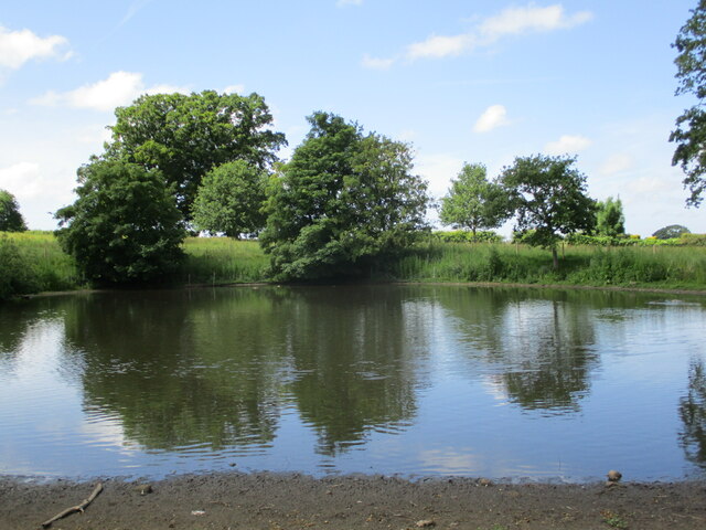
Anmer is known for its picturesque rural setting, characterized by rolling fields, charming cottages, and a peaceful atmosphere. The village is surrounded by beautiful countryside, providing ample opportunities for outdoor activities such as walking, cycling, and horse riding. Its close proximity to the Norfolk Coast Area of Outstanding Natural Beauty makes it an ideal base for exploring the stunning coastline and its wildlife.
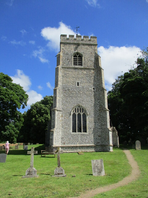
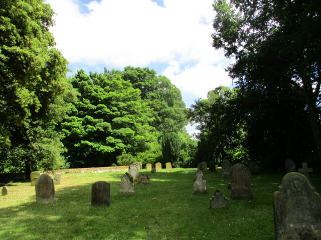
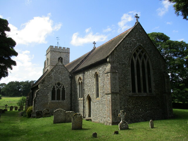
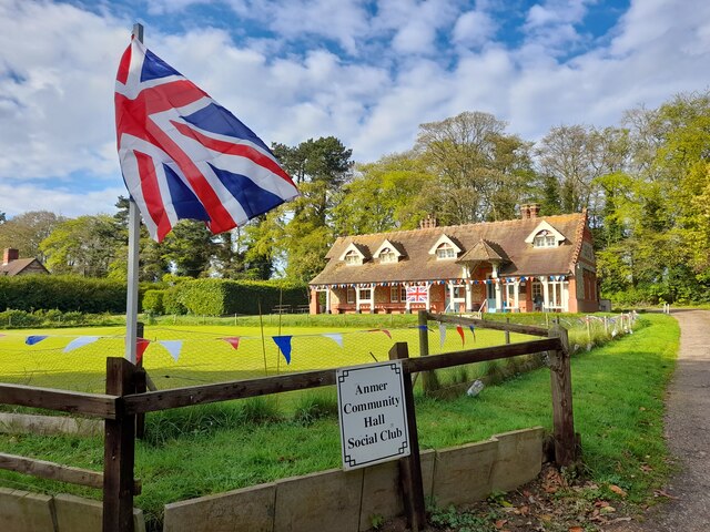
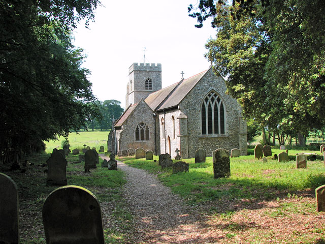
The village itself is home to a small community, with a population of around 70 residents. It boasts a historic church, St. Mary's, which dates back to the 14th century and is a fine example of traditional Norfolk architecture. The church is still actively used for worship and also serves as a focal point for community events.
Anmer gained some fame in recent years due to its association with the British royal family. The village is located near Anmer Hall, a Georgian country house that was gifted to the Duke and Duchess of Cambridge, Prince William and Catherine, by Queen Elizabeth II. The couple used Anmer Hall as their primary residence for a period of time, which brought attention and increased interest to the village.
Overall, Anmer offers a quintessentially English countryside experience, with its scenic surroundings, rich history, and connection to the royal family. It remains a hidden gem for those seeking tranquility and a taste of rural life in Norfolk.
If you have any feedback on the listing, please let us know in the comments section below.
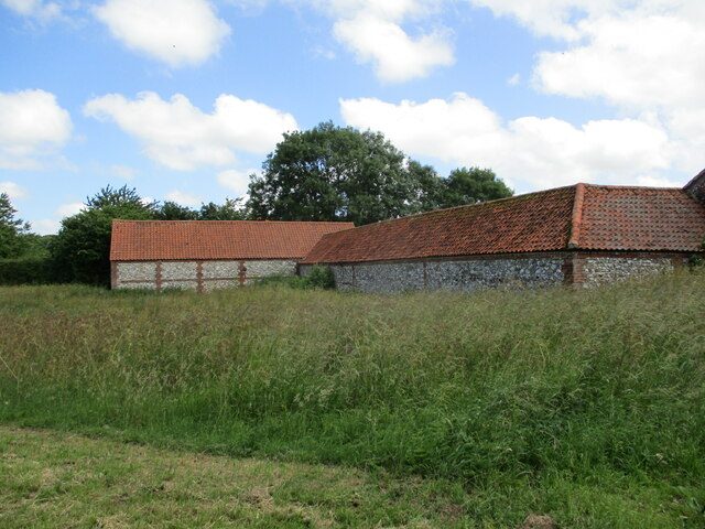
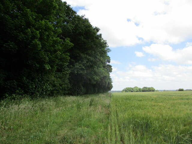
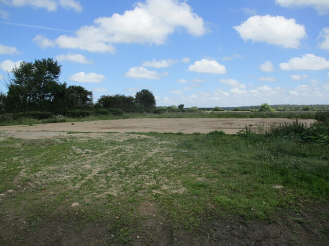
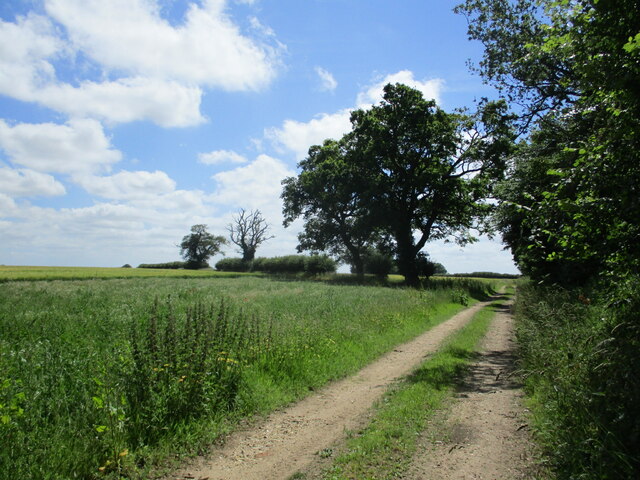
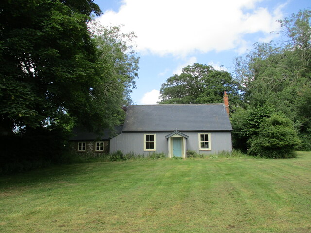
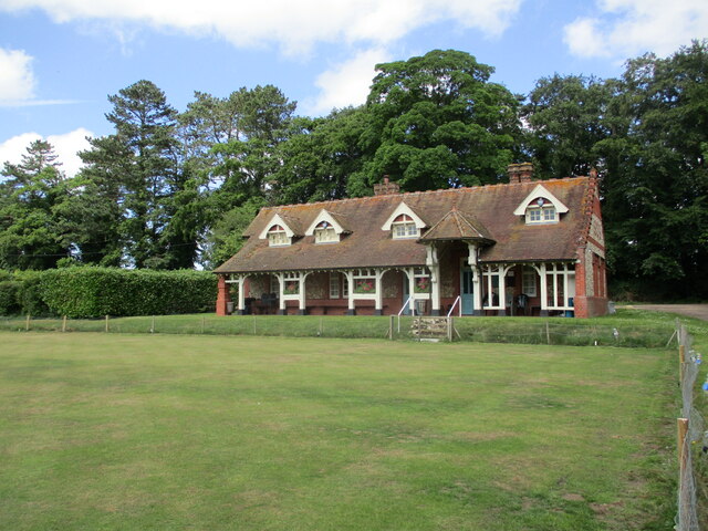
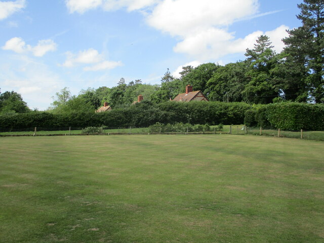
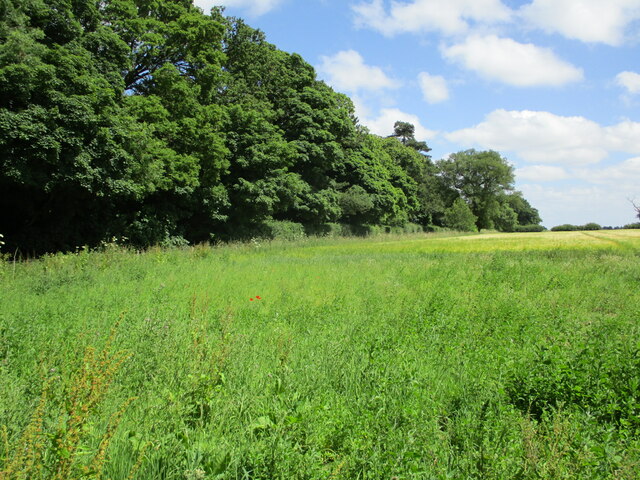
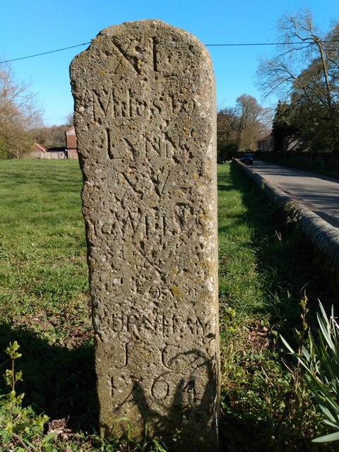
Anmer Images
Images are sourced within 2km of 52.834621/0.584037 or Grid Reference TF7429. Thanks to Geograph Open Source API. All images are credited.


Anmer is located at Grid Ref: TF7429 (Lat: 52.834621, Lng: 0.584037)
Administrative County: Norfolk
District: King's Lynn and West Norfolk
Police Authority: Norfolk
What 3 Words
///enveloped.fits.stored. Near Dersingham, Norfolk
Nearby Locations
Related Wikis
Anmer
Anmer is a small village and civil parish in the English county of Norfolk. It is around 12 miles (19 km) north-east of the town of King's Lynn and 35...

Anmer Hall
Anmer Hall is a Georgian country house in the village of Anmer in Norfolk, England. Built in the 19th century, it was acquired by the Sandringham Estate...

Flitcham, Norfolk
Flitcham is a village and civil parish in the English county of Norfolk. The village is located 7.1 miles (11.4 km) north-east of King's Lynn and 33 miles...

Great Bircham Windmill
Great Bircham Windmill is a Grade II listed tower mill in Great Bircham, Norfolk, England. == History == The earliest record of a windmill in Great Bircham...

Flitcham with Appleton
Flitcham with Appleton is a civil parish in the English county of Norfolk. It covers an area of 17.08 km2 (6.59 sq mi) and had a population of 236 in 96...
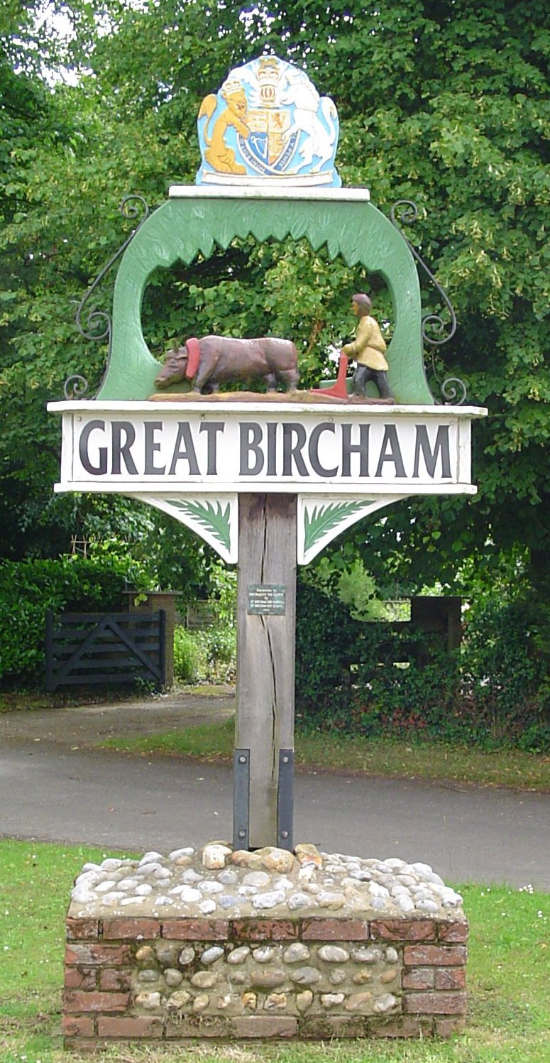
Great Bircham
Great Bircham is the largest of the three villages that make up the civil parish of Bircham, in the west of the English county of Norfolk. The village...
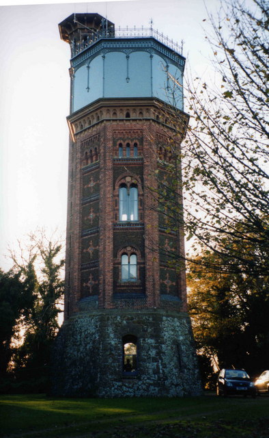
Appleton Water Tower
The Appleton Water Tower is a Victorian water tower located in Sandringham, Norfolk. It was constructed in 1877 to improve the quality of the water supply...
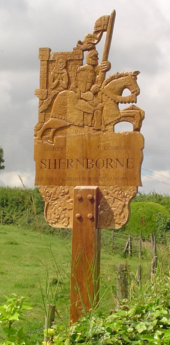
Shernborne
Shernborne is a civil parish in the English county of Norfolk. It covers an area of 5.63 km2 (2.17 sq mi) and had a population of 59 in 24 households at...
Nearby Amenities
Located within 500m of 52.834621,0.584037Have you been to Anmer?
Leave your review of Anmer below (or comments, questions and feedback).