Lord's Oak
Wood, Forest in Norfolk King's Lynn and West Norfolk
England
Lord's Oak
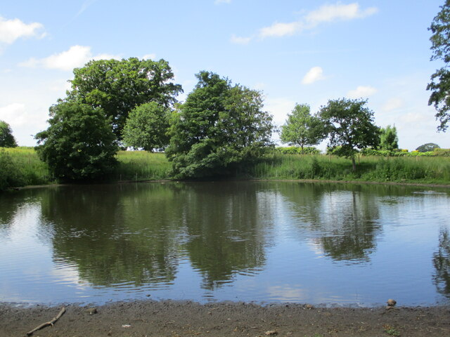
Lord's Oak is a historic oak tree located in Norfolk, England. Situated in a small forested area, it is known for its size, estimated to be over 500 years old. The tree stands tall and majestic, reaching a height of approximately 25 meters, with a trunk circumference of around 4 meters.
The oak tree is named after the Lord of the Manor, who once owned the surrounding land. It has become a significant landmark in the area, attracting nature enthusiasts and visitors alike. Lord's Oak is surrounded by a diverse range of vegetation, including other trees and shrubs, creating a picturesque and tranquil environment.
The oak is of great cultural and ecological importance. It provides a habitat for various bird species, as well as insects and small mammals. The tree's large canopy offers shade and protection, creating a microclimate that supports the growth of mosses, lichens, and fungi.
Over the centuries, Lord's Oak has witnessed a multitude of events and changes in its surroundings. It has stood strong during wars, weathered storms, and witnessed the passing of time. Many local legends and stories are associated with the oak, adding to its mystique and allure.
Efforts have been made to preserve and protect Lord's Oak, as it holds historical and ecological significance. The tree continues to be monitored and cared for by local authorities and conservationists, ensuring its longevity for future generations to appreciate and admire.
If you have any feedback on the listing, please let us know in the comments section below.
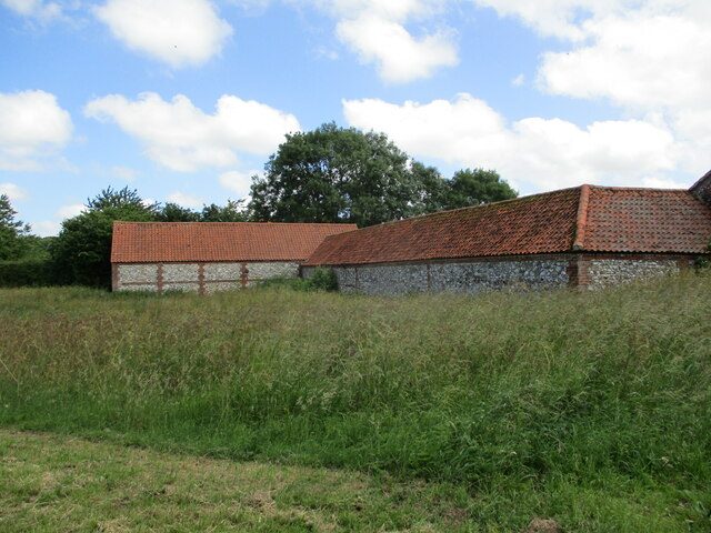
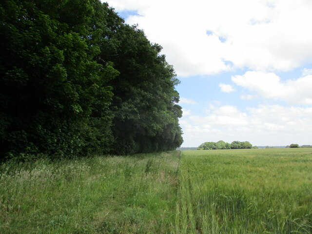
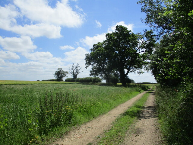
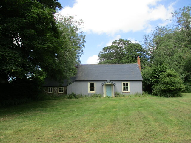
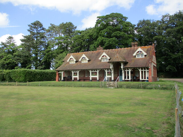
Lord's Oak Images
Images are sourced within 2km of 52.830819/0.58314312 or Grid Reference TF7429. Thanks to Geograph Open Source API. All images are credited.


Lord's Oak is located at Grid Ref: TF7429 (Lat: 52.830819, Lng: 0.58314312)
Administrative County: Norfolk
District: King's Lynn and West Norfolk
Police Authority: Norfolk
What 3 Words
///glance.beside.frantic. Near Dersingham, Norfolk
Nearby Locations
Related Wikis
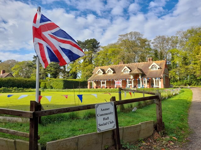
Anmer
Anmer is a small village and civil parish in the English county of Norfolk. It is around 12 miles (19 km) north-east of the town of King's Lynn and 35...

Anmer Hall
Anmer Hall is a Georgian country house in the village of Anmer in Norfolk, England. Built in the 19th century, it was acquired by the Sandringham Estate...

Flitcham, Norfolk
Flitcham is a village and civil parish in the English county of Norfolk. The village is located 7.1 miles (11.4 km) north-east of King's Lynn and 33 miles...

Flitcham with Appleton
Flitcham with Appleton is a civil parish in the English county of Norfolk. It covers an area of 17.08 km2 (6.59 sq mi) and had a population of 236 in 96...
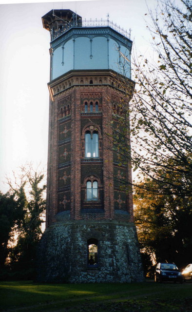
Appleton Water Tower
The Appleton Water Tower is a Victorian water tower located in Sandringham, Norfolk. It was constructed in 1877 to improve the quality of the water supply...

Hillington railway station
Hillington railway station was a station in Hillington, Norfolk on the now closed Midland and Great Northern Joint Railway line between South Lynn and...

Great Bircham Windmill
Great Bircham Windmill is a Grade II listed tower mill in Great Bircham, Norfolk, England. == History == The earliest record of a windmill in Great Bircham...

Hillington, Norfolk
Hillington is a village and civil parish in the English county of Norfolk. It covers an area of 10.27 km2 (3.97 sq mi) and had a population of 287 in 123...
Nearby Amenities
Located within 500m of 52.830819,0.58314312Have you been to Lord's Oak?
Leave your review of Lord's Oak below (or comments, questions and feedback).