Blacksmith's Covert
Wood, Forest in Norfolk King's Lynn and West Norfolk
England
Blacksmith's Covert
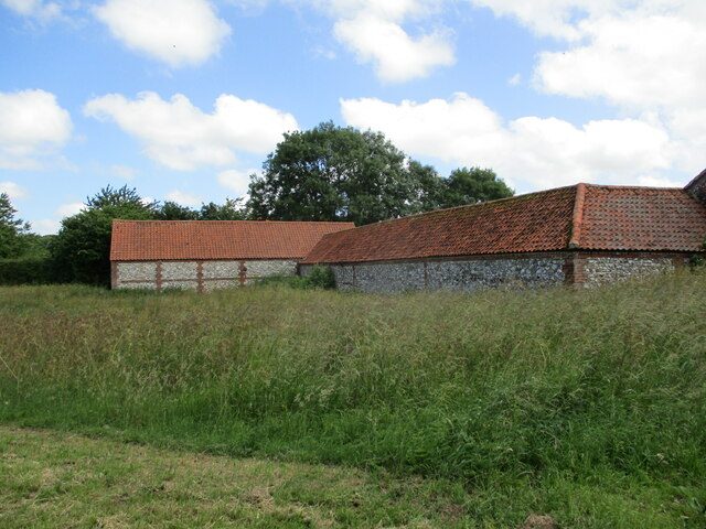
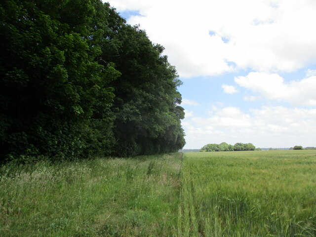
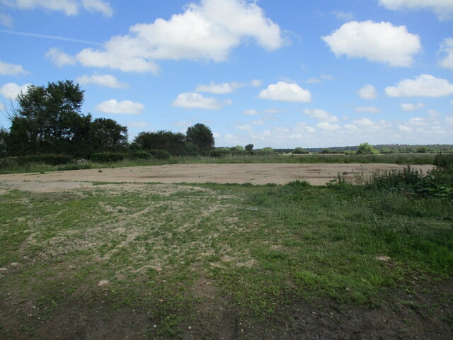
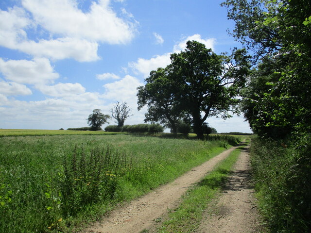
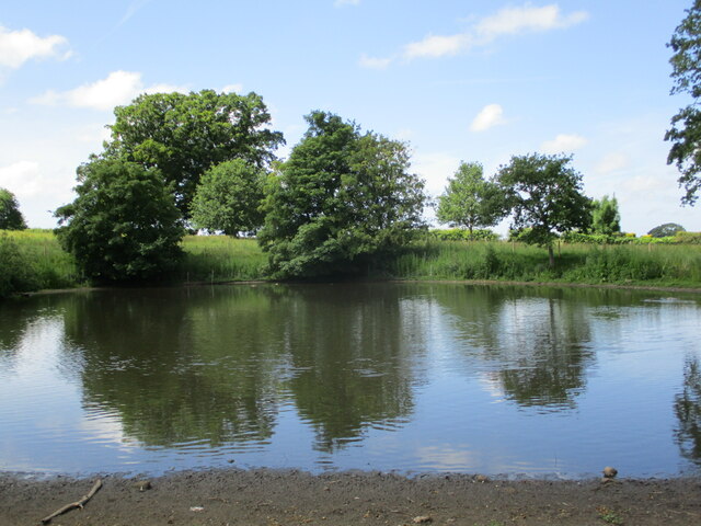
Blacksmith's Covert is a picturesque woodland located in Norfolk, England. Situated near the village of Wood, this forested area spans approximately 50 acres and offers a serene escape from the bustling city life. The covert is characterized by its dense and diverse collection of trees, including oak, beech, and birch, which create a stunning canopy overhead.
The woodland is home to various wildlife species, making it a haven for nature enthusiasts and birdwatchers. Visitors might spot a range of creatures, from deer and foxes to numerous bird species like woodpeckers and owls. The forest floor is adorned with an array of wildflowers and ferns, adding to the enchanting beauty of the area.
Tranquil paths wind through the covert, inviting walkers and hikers to explore its hidden treasures. These paths are well-maintained and marked, ensuring visitors can navigate the woodlands easily. Along the way, benches and picnic areas offer opportunities for visitors to rest and take in the stunning surroundings.
Blacksmith's Covert also holds historical significance, with remnants of old ironworks scattered throughout the area. These remnants serve as a reminder of the blacksmiths who once worked in the forest, forging tools and equipment for the local community.
Overall, Blacksmith's Covert in Norfolk, with its lush vegetation, abundant wildlife, and captivating history, provides an idyllic setting for individuals seeking solace in nature and a glimpse into the region's past. Whether it's a leisurely stroll, a birdwatching expedition, or a peaceful picnic, this woodland offers a memorable experience for all who venture into its tranquil depths.
If you have any feedback on the listing, please let us know in the comments section below.
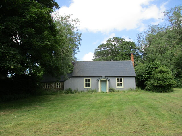
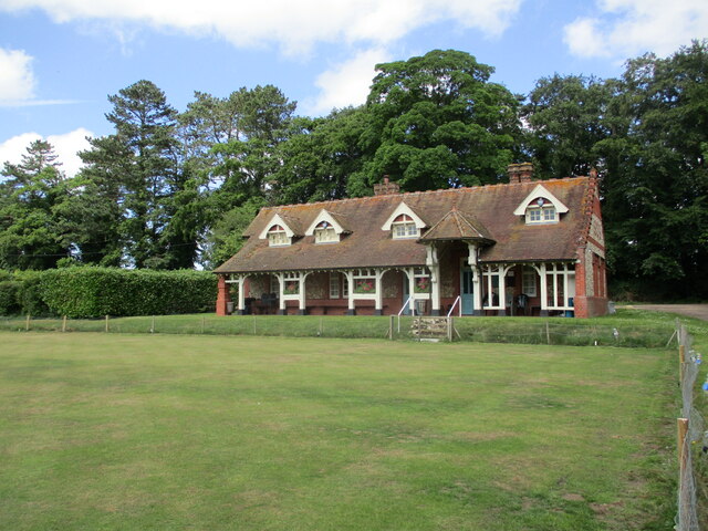
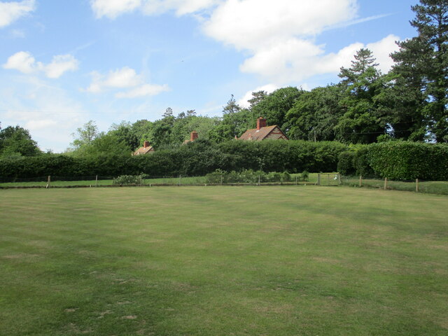
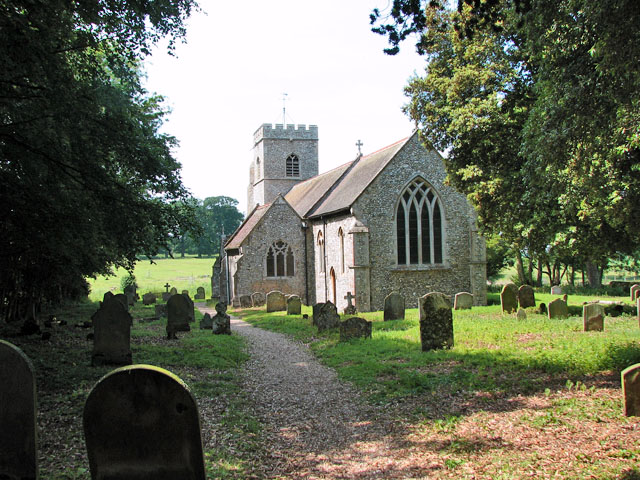
Blacksmith's Covert Images
Images are sourced within 2km of 52.832161/0.59048292 or Grid Reference TF7429. Thanks to Geograph Open Source API. All images are credited.


Blacksmith's Covert is located at Grid Ref: TF7429 (Lat: 52.832161, Lng: 0.59048292)
Administrative County: Norfolk
District: King's Lynn and West Norfolk
Police Authority: Norfolk
What 3 Words
///disco.players.point. Near Dersingham, Norfolk
Nearby Locations
Related Wikis
Anmer
Anmer is a small village and civil parish in the English county of Norfolk. It is around 12 miles (19 km) north-east of the town of King's Lynn and 35...

Anmer Hall
Anmer Hall is a Georgian country house in the village of Anmer in Norfolk, England. Built in the 19th century, it was acquired by the Sandringham Estate...

Flitcham, Norfolk
Flitcham is a village and civil parish in the English county of Norfolk. The village is located 7.1 miles (11.4 km) north-east of King's Lynn and 33 miles...

Great Bircham Windmill
Great Bircham Windmill is a Grade II listed tower mill in Great Bircham, Norfolk, England. == History == The earliest record of a windmill in Great Bircham...

Flitcham with Appleton
Flitcham with Appleton is a civil parish in the English county of Norfolk. It covers an area of 17.08 km2 (6.59 sq mi) and had a population of 236 in 96...
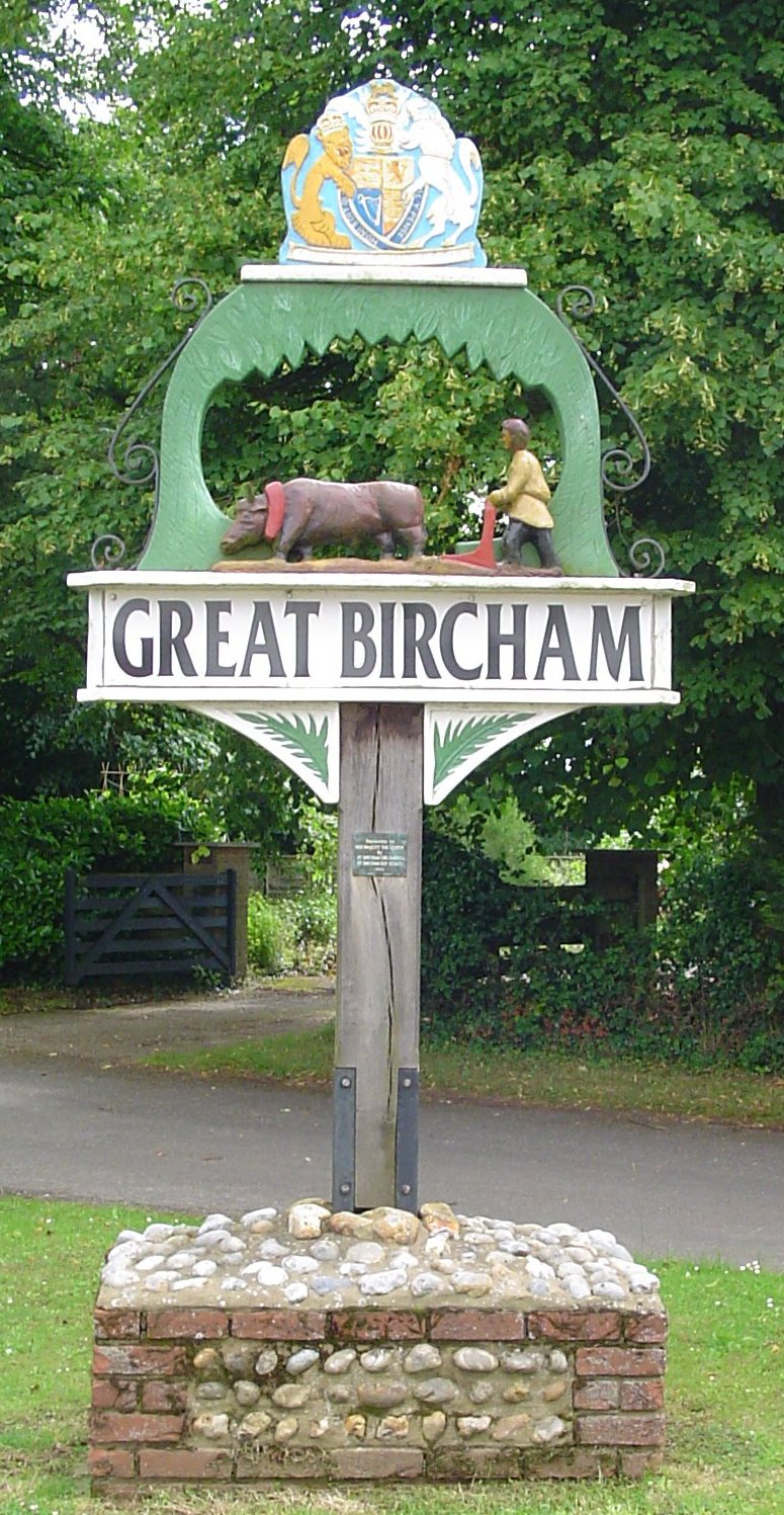
Great Bircham
Great Bircham is the largest of the three villages that make up the civil parish of Bircham, in the west of the English county of Norfolk. The village...

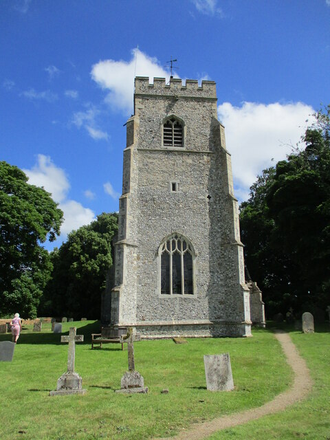
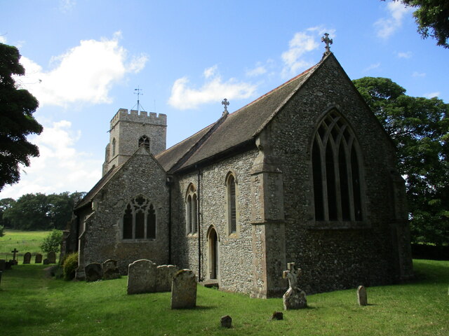
St Mary the Virgin's Church, Great Bircham
St Mary's Church, Great Bircham dates from the 12th-century, and is a Grade I listed parish church in the Church of England Diocese of Norwich in Great...
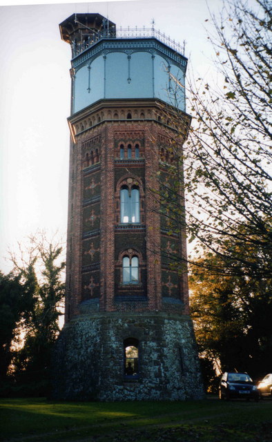
Appleton Water Tower
The Appleton Water Tower is a Victorian water tower located in Sandringham, Norfolk. It was constructed in 1877 to improve the quality of the water supply...
Nearby Amenities
Located within 500m of 52.832161,0.59048292Have you been to Blacksmith's Covert?
Leave your review of Blacksmith's Covert below (or comments, questions and feedback).