Anmore
Settlement in Hampshire Winchester
England
Anmore

Anmore is a small village located in the county of Hampshire, England. Situated in the East Hampshire district, it lies approximately 12 miles northeast of the city of Portsmouth and 18 miles south of the city of Guildford. Anmore is nestled amidst picturesque countryside, offering a peaceful and idyllic setting for its residents.
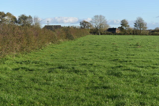
The village is characterized by its charming rural atmosphere, with a population of around 800 people. It is renowned for its natural beauty, surrounded by rolling hills, lush green fields, and dense woodlands. The area is also dotted with numerous ponds and streams, adding to its scenic appeal.
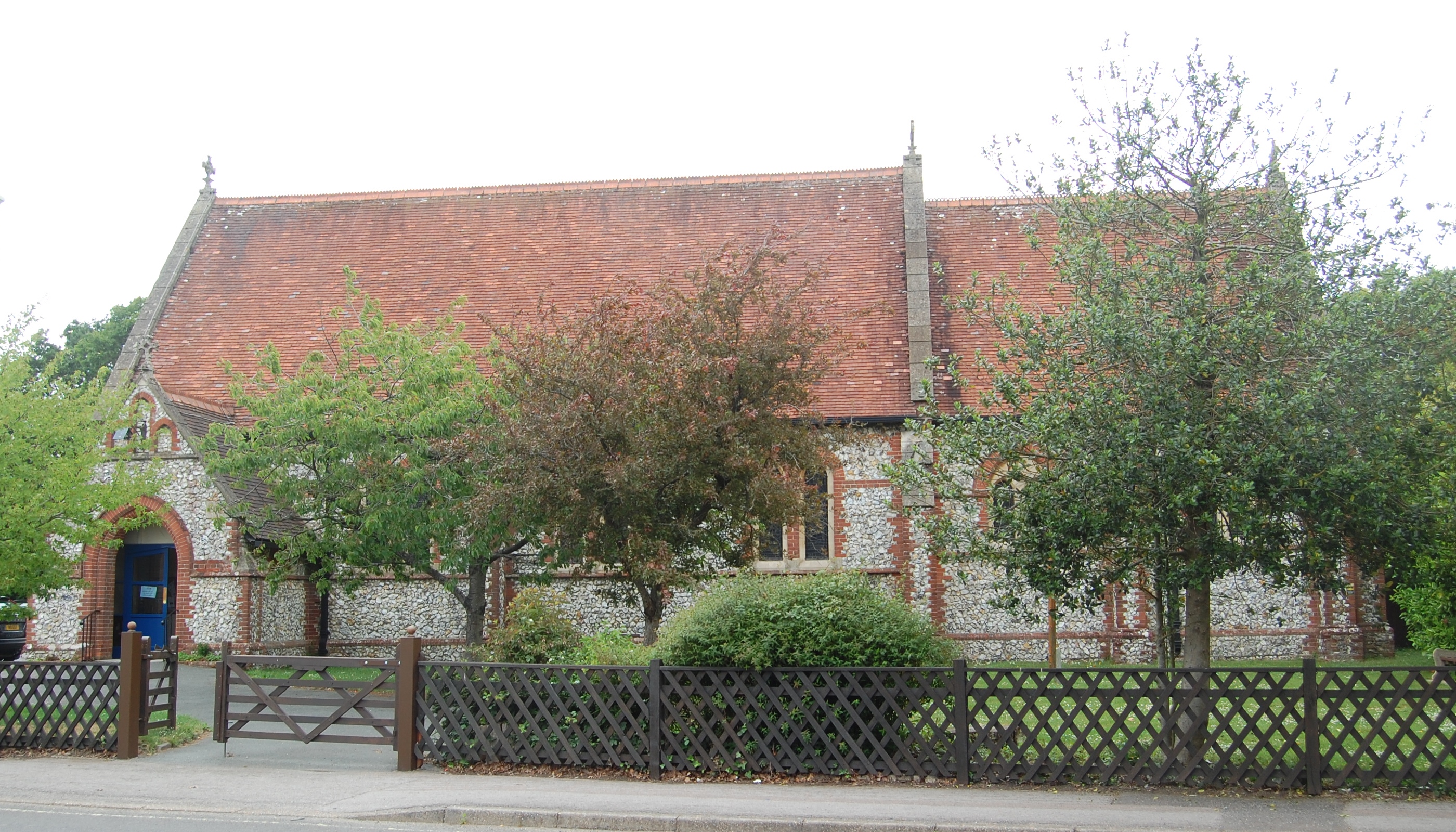
Anmore boasts a rich history, with evidence of human habitation dating back to the Iron Age. The village is home to several historic buildings, including St. James' Church, a Grade II listed building that dates back to the 12th century. The church's architecture and interior features make it a popular attraction for history enthusiasts and visitors.
Despite its small size, Anmore is well-connected to neighboring towns and cities. The village benefits from good transport links, with the A3 road passing nearby, providing easy access to Portsmouth, Guildford, and London. Additionally, nearby railway stations in Liphook and Petersfield offer convenient connections to other parts of the country.
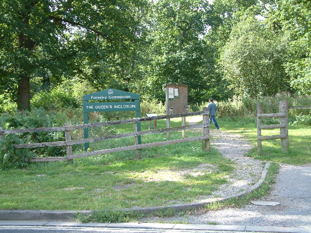
Anmore is a tight-knit community, with a strong sense of community spirit. Local amenities include a village hall, a primary school, a post office, and a few shops. Residents also enjoy access to beautiful walking trails and outdoor recreational areas, making it an ideal place for nature lovers.
Overall, Anmore offers a tranquil and picturesque retreat for those seeking a peaceful countryside lifestyle, while still enjoying convenient access to nearby towns and cities.
If you have any feedback on the listing, please let us know in the comments section below.
Anmore Images
Images are sourced within 2km of 50.900396/-1.050021 or Grid Reference SU6611. Thanks to Geograph Open Source API. All images are credited.


Anmore is located at Grid Ref: SU6611 (Lat: 50.900396, Lng: -1.050021)
Administrative County: Hampshire
District: Winchester
Police Authority: Hampshire
What 3 Words
///winner.nooks.familiar. Near Denmead, Hampshire
Nearby Locations
Related Wikis
Denmead
Denmead is a village in Hampshire near Portsmouth, England. It is part of the City of Winchester district. As of 2005, it had a population of 6,457 and...

Newlands, Hampshire
Newlands is a civil parish in Hampshire, England, in the south-east of the local government district of the City of Winchester. It is composed of the parts...
Forest of Bere
The Forest of Bere is a mixed-use partially forested area in Hampshire immediately north of Fareham, Portsmouth and Roman Road, Havant and including a...
Hart Plain
Hart Plain is part of Waterlooville and is the northwesternmost ward in the Borough of Havant. The population of Hart Plain in 2015 was 8,755, making up...
Wecock Farm
Wecock Farm is a 1970s council estate on the western edges of Waterlooville originally built by Portsmouth City Council. Its lineage can be traced back...

Meon Valley (UK Parliament constituency)
Meon Valley () is a parliamentary constituency in Hampshire represented in the House of Commons of the UK Parliament by Flick Drummond, a Conservative...

The Cowplain School
The Cowplain School (formerly Cowplain Community School, and Cowplain Comprehensive school) is a coeducational secondary school located in Cowplain, Hampshire...
Lovedean
Lovedean is a village in the East Hampshire district of Hampshire, England. It is 1.4 miles (2.2 km) west of Horndean. The nearest railway station is Rowlands...
Nearby Amenities
Located within 500m of 50.900396,-1.050021Have you been to Anmore?
Leave your review of Anmore below (or comments, questions and feedback).