Churchill
Settlement in Somerset
England
Churchill
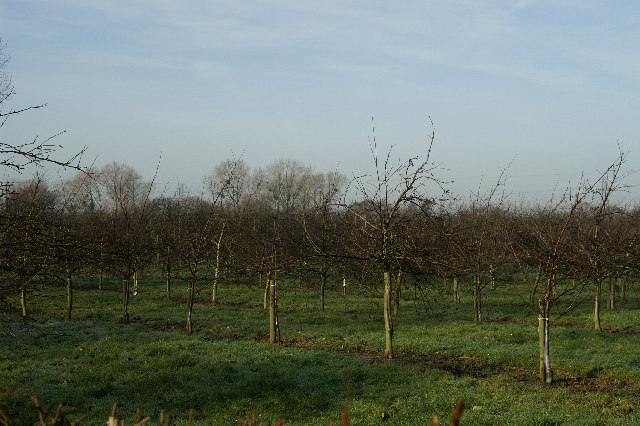
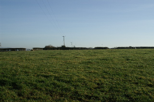
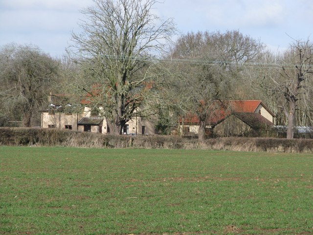
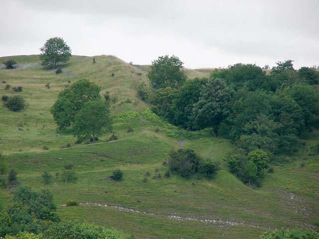
Churchill is a small village located in the county of Somerset, England. Situated on the edge of the Mendip Hills, it is approximately 20 miles south of Bristol and 10 miles east of Weston-super-Mare. The village is nestled in a picturesque countryside setting, surrounded by rolling hills and farmland.
With a population of around 1,000 residents, Churchill is known for its tranquil and idyllic atmosphere. The village is characterized by its charming stone-built houses, many of which date back to the 18th and 19th centuries. The local architecture is a mix of traditional English styles, showcasing the region's rich history.
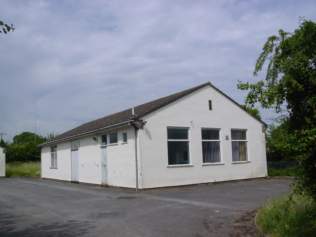
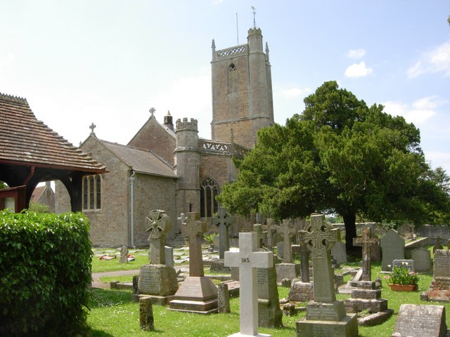
The heart of Churchill is its village church, St. John the Baptist, which dates back to the 12th century. This historic building is a focal point of the community and often hosts religious services and events. In addition to the church, there is a primary school, a village hall, and a handful of local shops and amenities that cater to the needs of the residents.
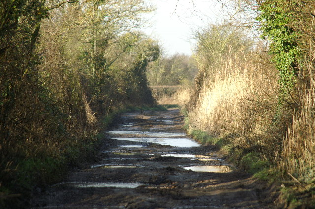
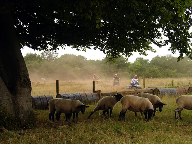
Surrounded by beautiful countryside, Churchill offers numerous opportunities for outdoor activities and exploration. The nearby Mendip Hills are a popular destination for hikers, nature enthusiasts, and those looking to enjoy breathtaking views of the surrounding landscape. Additionally, the village is located within close proximity to Cheddar Gorge, a famous limestone gorge and natural beauty spot.
In summary, Churchill, Somerset is a charming village that combines a rich history, stunning natural surroundings, and a close-knit community. It offers residents and visitors a peaceful retreat from the hustle and bustle of city life, with ample opportunities to enjoy the beauty of the Somerset countryside.
If you have any feedback on the listing, please let us know in the comments section below.
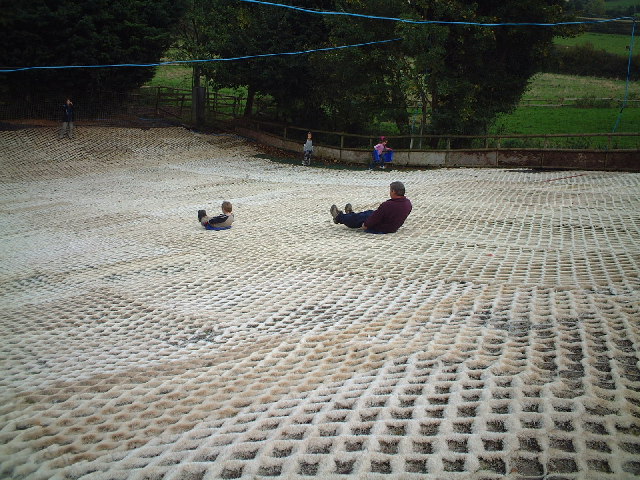
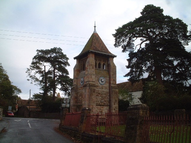
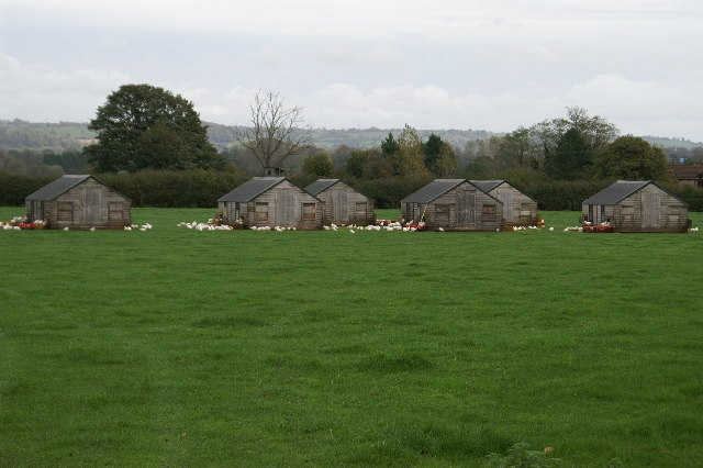
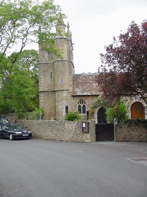
Churchill Images
Images are sourced within 2km of 51.335292/-2.8041514 or Grid Reference ST4459. Thanks to Geograph Open Source API. All images are credited.
Churchill is located at Grid Ref: ST4459 (Lat: 51.335292, Lng: -2.8041514)
Unitary Authority: North Somerset
Police Authority: Avon and Somerset
What 3 Words
///venturing.guides.avoid. Near Churchill, Somerset
Nearby Locations
Related Wikis

Sidney Hill Cottage Homes
Sidney Hill Cottage Homes, whose official name is Sidney Hill Churchill Wesleyan Cottage Homes, is a Grade II listed estate of Wesleyan cottage homes in...

Churchill Methodist Church
Churchill Methodist Church, in the village of Churchill, North Somerset, is a Grade II listed Methodist church on the Somerset Mendip Methodist Circuit...
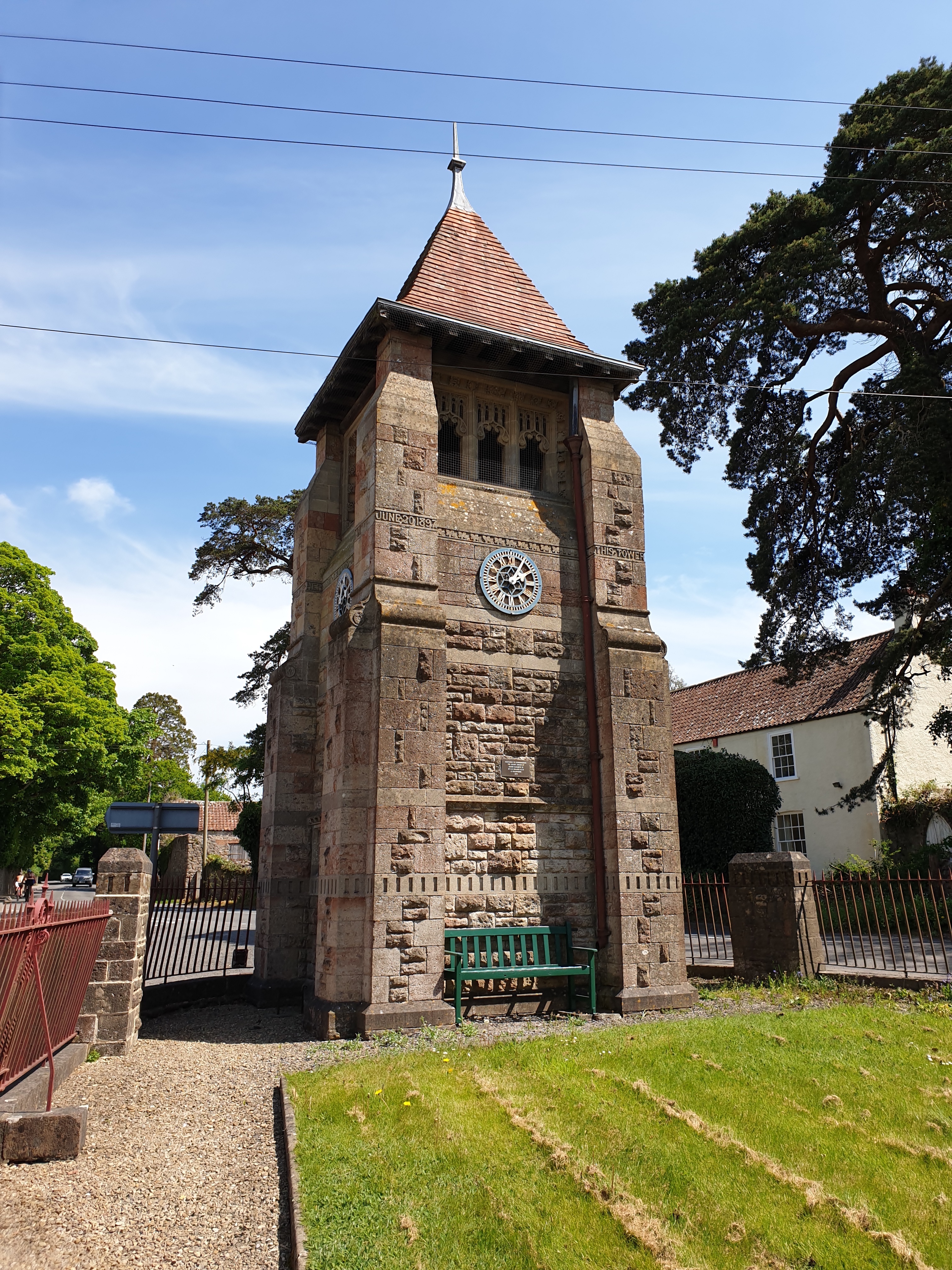
Jubilee Clock Tower, Churchill
The Jubilee Clock Tower, striking clock, and drinking fountain, is a Grade II listed building in the village of Churchill, North Somerset, built to commemorate...

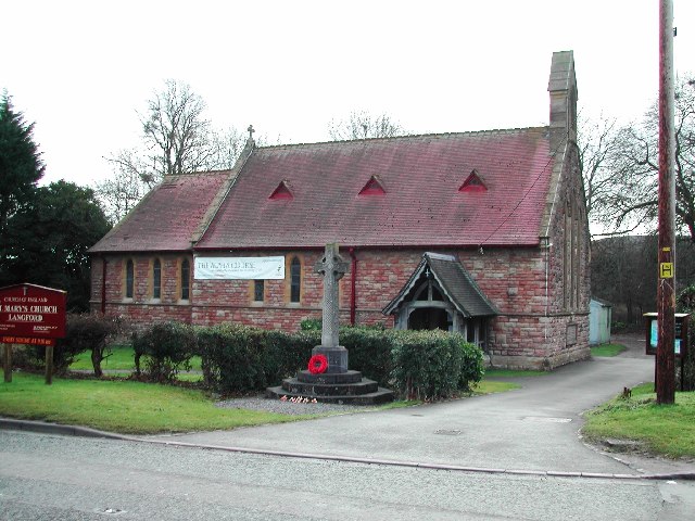
Church of St John the Baptist, Churchill
The Church of St John the Baptist in Churchill, Somerset, England, was largely built around 1360 and is a Grade I listed building.There was a Norman chapel...

Churchill, Somerset
Churchill is a village and civil parish in the unitary authority of North Somerset, part of the ceremonial county of Somerset. It is located on the western...

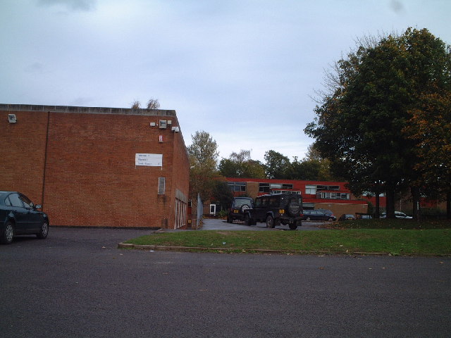
Churchill Academy and Sixth Form
Churchill Academy and Sixth Form, previously known as Churchill Community Foundation School and Sixth Form Centre, is an academy famously situated in the...

Dinghurst fort
Dinghurst fort is an Iron Age univallate hillfort south of Churchill in Somerset, England. A scarp encircles the camp, 2.0 metres (6.5 ft) high in the...

Church of St Michael and All Angels, Rowberrow
The Anglican Church of St Michael and All Angels at Rowberrow within the English county of Somerset dates from the 14th century, but parts were rebuilt...
Nearby Amenities
Located within 500m of 51.335292,-2.8041514Have you been to Churchill?
Leave your review of Churchill below (or comments, questions and feedback).