Churchill Green
Settlement in Somerset
England
Churchill Green
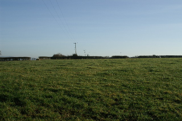
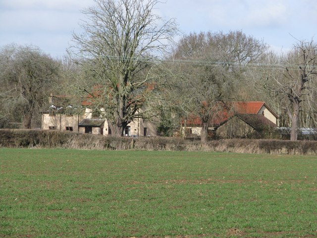
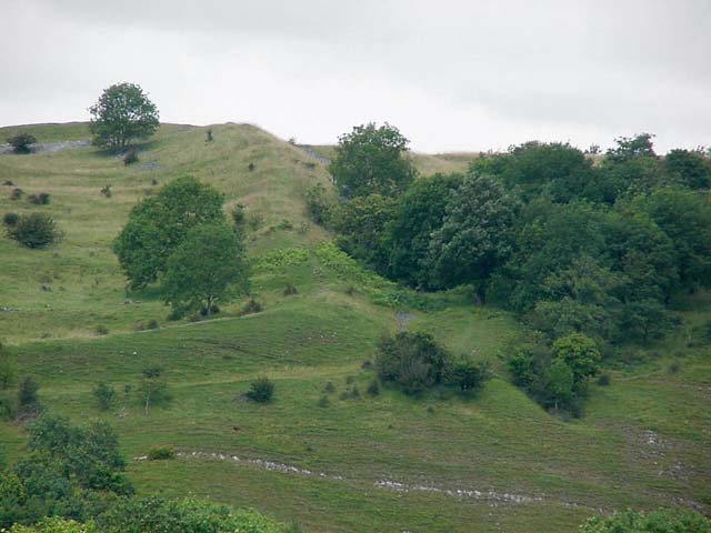
Churchill Green is a small village located in the county of Somerset, in the southwest of England. It is part of the Mendip district and lies within the civil parish of Churchill. The village is situated on the edge of the picturesque Mendip Hills, offering stunning views of the surrounding countryside.
Churchill Green is a quintessential English village, known for its charming stone cottages, well-maintained gardens, and peaceful atmosphere. The village is home to a close-knit community of approximately 500 residents, who enjoy the tranquility and idyllic setting that Churchill Green provides.
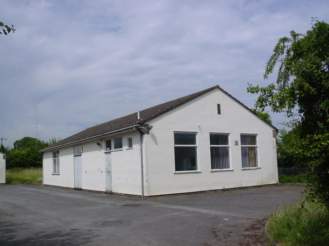
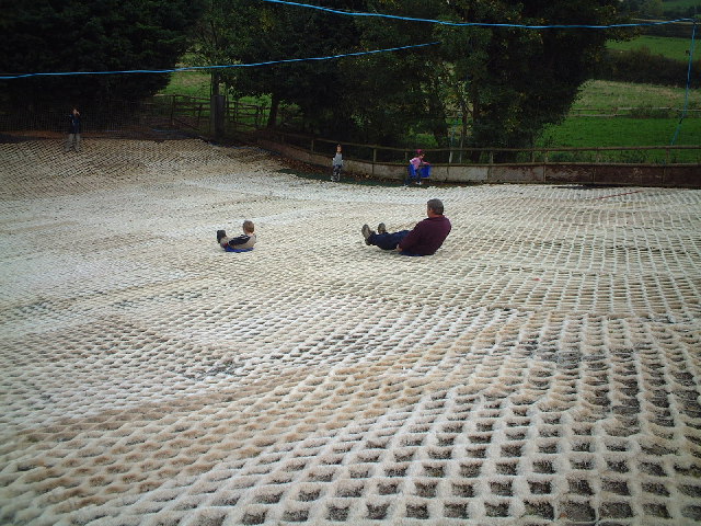
Despite its small size, Churchill Green boasts a number of amenities for its residents. These include a village hall, a primary school, a post office, and a local pub, which serves as a social hub for the community. The village also has a cricket ground and a playground, providing recreational opportunities for both children and adults.
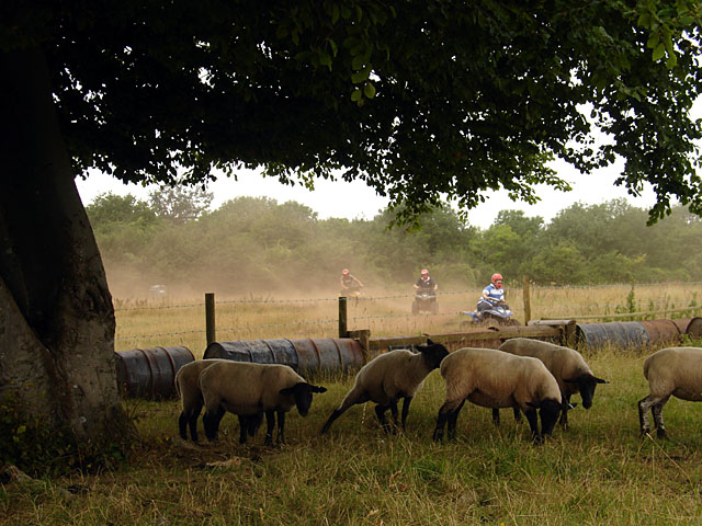
Surrounded by rolling hills and scenic countryside, Churchill Green offers ample opportunities for outdoor activities such as hiking, cycling, and horse riding. The nearby Mendip Hills provide a range of walking trails, including the popular West Mendip Way, which stretches for 30 miles across the region.
Overall, Churchill Green is a charming village with a strong sense of community and an abundance of natural beauty. It offers a peaceful and picturesque lifestyle for its residents, making it a desirable place to live in the heart of the Somerset countryside.
If you have any feedback on the listing, please let us know in the comments section below.
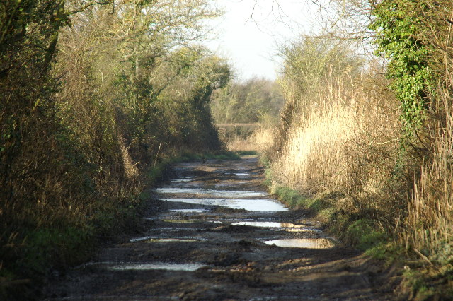
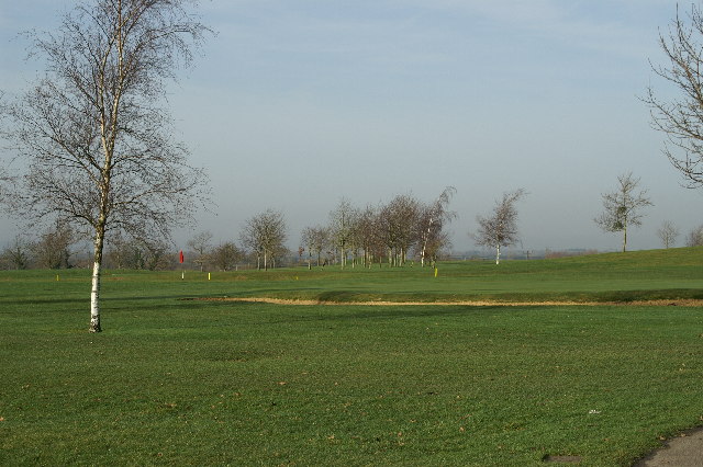
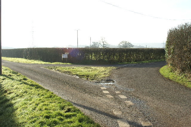
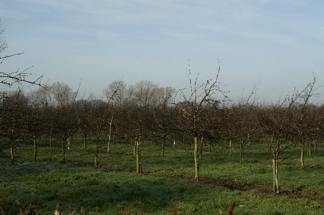
Churchill Green Images
Images are sourced within 2km of 51.339191/-2.807771 or Grid Reference ST4360. Thanks to Geograph Open Source API. All images are credited.


Churchill Green is located at Grid Ref: ST4360 (Lat: 51.339191, Lng: -2.807771)
Unitary Authority: North Somerset
Police Authority: Avon and Somerset
What 3 Words
///grid.snuggled.huddled. Near Churchill, Somerset
Nearby Locations
Related Wikis

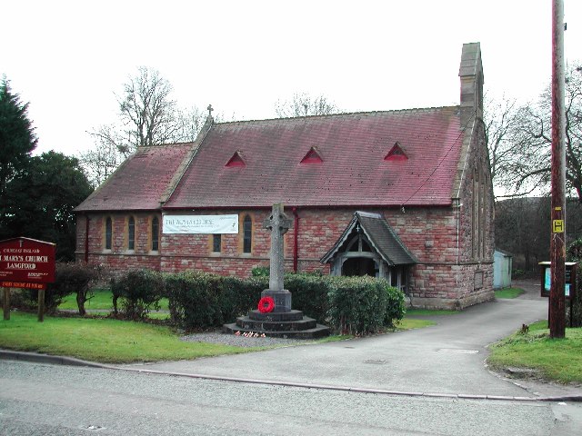
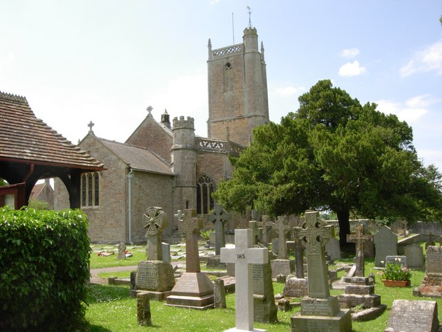
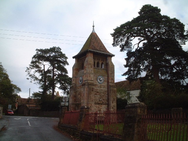
Church of St John the Baptist, Churchill
The Church of St John the Baptist in Churchill, Somerset, England, was largely built around 1360 and is a Grade I listed building.There was a Norman chapel...

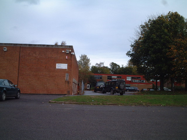
Churchill Academy and Sixth Form
Churchill Academy and Sixth Form, previously known as Churchill Community Foundation School and Sixth Form Centre, is an academy famously situated in the...

Sidney Hill Cottage Homes
Sidney Hill Cottage Homes, whose official name is Sidney Hill Churchill Wesleyan Cottage Homes, is a Grade II listed estate of Wesleyan cottage homes in...

Churchill Methodist Church
Churchill Methodist Church, in the village of Churchill, North Somerset, is a Grade II listed Methodist church on the Somerset Mendip Methodist Circuit...
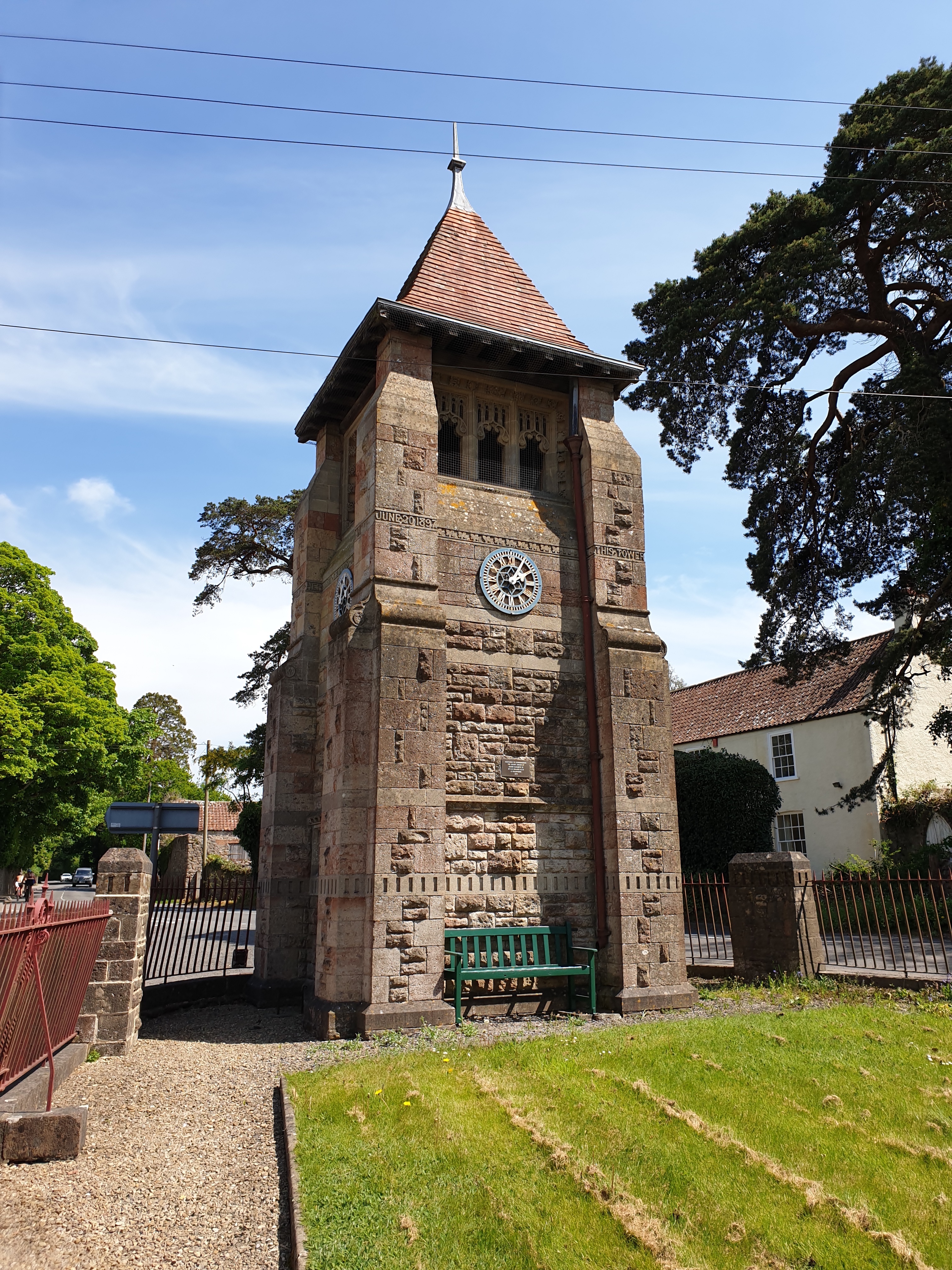
Jubilee Clock Tower, Churchill
The Jubilee Clock Tower, striking clock, and drinking fountain, is a Grade II listed building in the village of Churchill, North Somerset, built to commemorate...

Churchill, Somerset
Churchill is a village and civil parish in the unitary authority of North Somerset, part of the ceremonial county of Somerset. It is located on the western...

Dinghurst fort
Dinghurst fort is an Iron Age univallate hillfort south of Churchill in Somerset, England. A scarp encircles the camp, 2.0 metres (6.5 ft) high in the...
Yanal Bog
Yanal Bog (grid reference ST424607) is a 1.6 hectare biological Site of Special Scientific Interest on the southern edge of the North Somerset Levels,...
Nearby Amenities
Located within 500m of 51.339191,-2.807771Have you been to Churchill Green?
Leave your review of Churchill Green below (or comments, questions and feedback).