Dolebury Bottom

Valley in Somerset

England

Dolebury Bottom

Churchill Sports Centre Sports Centre part of Churchill School complex.
Churchill Sports Centre Credit: Adrian and Janet Quantock

Dolebury Bottom, located in Somerset, England, is a picturesque valley renowned for its natural beauty and historical significance. Nestled within the Mendip Hills Area of Outstanding Natural Beauty, this tranquil valley offers visitors a captivating blend of lush greenery, rolling hills, and fascinating archaeological remains.

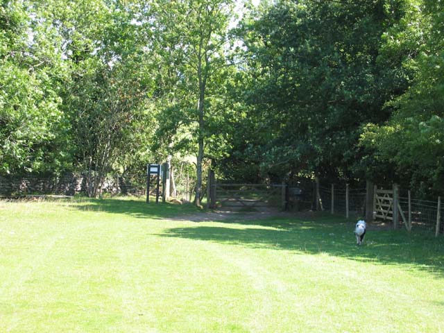
The valley is home to a diverse range of flora and fauna, making it a haven for nature enthusiasts. Its dense woodlands, meandering streams, and open grasslands provide habitats for various species, including butterflies, birds, and small mammals. The valley is especially known for its vibrant wildflower displays during the spring and summer months.

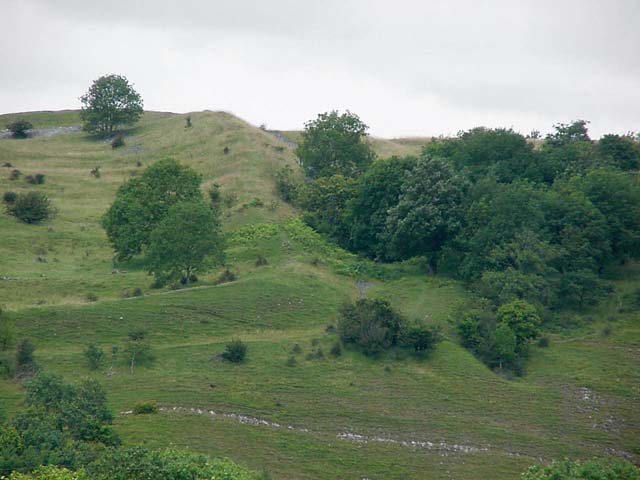
Dolebury Bottom also boasts a rich history dating back thousands of years. The valley is home to the impressive Dolebury Warren Hillfort, an Iron Age hillfort that stands atop a steep-sided promontory. This ancient fortification, encompassing approximately 5.6 hectares, offers panoramic views of the surrounding countryside and provides visitors with a glimpse into the region's past.

Additionally, Dolebury Bottom offers a range of recreational activities for visitors to enjoy. The valley features well-maintained walking trails, allowing hikers and ramblers to explore its scenic landscapes at their leisure. The area also attracts those interested in geocaching, with hidden caches awaiting discovery throughout the valley.

Overall, Dolebury Bottom in Somerset is a captivating destination that seamlessly combines natural beauty, biodiversity, and historical significance. Whether it be for a leisurely stroll, wildlife spotting, or an exploration of the region's past, this valley offers something for everyone.

If you have any feedback on the listing, please let us know in the comments section below.

Dolebury Bottom Images

Images are sourced within 2km of 51.327827/-2.7965575 or Grid Reference ST4459. Thanks to Geograph Open Source API. All images are credited.

Churchill Sports Centre Sports Centre part of Churchill School complex.
Churchill Sports Centre
Sports Centre part of Churchill School complex.
St. Mary's Church, Langford For more information see the church website <span class="nowrap"><a title="http://stmaryslangford.org.uk/history.htm" rel="nofollow ugc noopener" href="http://stmaryslangford.org.uk/history.htm">Link</a><img style="margin-left:2px;" alt="External link" title="External link - shift click to open in new window" src="https://s1.geograph.org.uk/img/external.png" width="10" height="10"/></span>
St. Mary's Church, Langford
For more information see the church website LinkExternal link
University of Bristol Veterinary School , Langford For more information see the Veterinary School's website <span class="nowrap"><a title="http://www.vetschool.bris.ac.uk/" rel="nofollow ugc noopener" href="http://www.vetschool.bris.ac.uk/">Link</a><img style="margin-left:2px;" alt="External link" title="External link - shift click to open in new window" src="https://s1.geograph.org.uk/img/external.png" width="10" height="10"/></span>
University of Bristol Veterinary School , Langford
For more information see the Veterinary School's website LinkExternal link
Churchill Telephone Exchange
Churchill Green Church of St. John the Baptist. Grade I. 
Anglican Parish Church. 12th Century origin with 14th & 15th Century rebuilding with 1879 restoration.
Churchill Green
Church of St. John the Baptist. Grade I. Anglican Parish Church. 12th Century origin with 14th & 15th Century rebuilding with 1879 restoration.
Field by the B3133
Field by the B3133
Seed Drilling at Lower Langford View south from close to the A38. The hill in the background is Dolebury Warren on the northern side of the Mendips.
Seed Drilling at Lower Langford
View south from close to the A38. The hill in the background is Dolebury Warren on the northern side of the Mendips.
Avon Ski Centre Children's Toboggan Run.
Avon Ski Centre
Children's Toboggan Run.
Churchill Clock Tower Tower built to commemorate Queen Victoria's Diamond Jubilee 1897.
Churchill Clock Tower
Tower built to commemorate Queen Victoria's Diamond Jubilee 1897.
Free Range Chickens Field of chickens taken from A368.
Free Range Chickens
Field of chickens taken from A368.
Blagdon Water Gardens Retail outlet for pond products, fish etc.
Blagdon Water Gardens
Retail outlet for pond products, fish etc.
The Swan, Rowberrow
The Swan, Rowberrow
Rowberrow Church
Rowberrow Church
Eastern edge of Dolebury Warren
Dolebury Hill Fort Dolebury is one of two large hill forts on the Mendips - the other is at Masbury near Wells.
Dolebury Hill Fort
Dolebury is one of two large hill forts on the Mendips - the other is at Masbury near Wells.
Snake in the Road A grass snake [Natrix natrix]. Fifty years ago the grass snake was very common in Great Britain; it could be seen in quite large numbers at a good site.  Now it is quite rare, because of loss of habitat and food.
Snake in the Road
A grass snake [Natrix natrix]. Fifty years ago the grass snake was very common in Great Britain; it could be seen in quite large numbers at a good site. Now it is quite rare, because of loss of habitat and food.
Shipham : The Square The Square in Shipham with the War Memorial in the foreground.  To the right of the road is Hansfords Butcher's Shop and in the background St.Leonards Church can be seen.
Shipham : The Square
The Square in Shipham with the War Memorial in the foreground. To the right of the road is Hansfords Butcher's Shop and in the background St.Leonards Church can be seen.
Show me another place!

Dolebury Bottom is located at Grid Ref: ST4459 (Lat: 51.327827, Lng: -2.7965575)

Unitary Authority: North Somerset

Police Authority: Avon and Somerset

What 3 Words

///vipers.importers.vans. Near Shipham, Somerset

Related Wikis

Dinghurst fort

Dinghurst fort is an Iron Age univallate hillfort south of Churchill in Somerset, England. A scarp encircles the camp, 2.0 metres (6.5 ft) high in the...

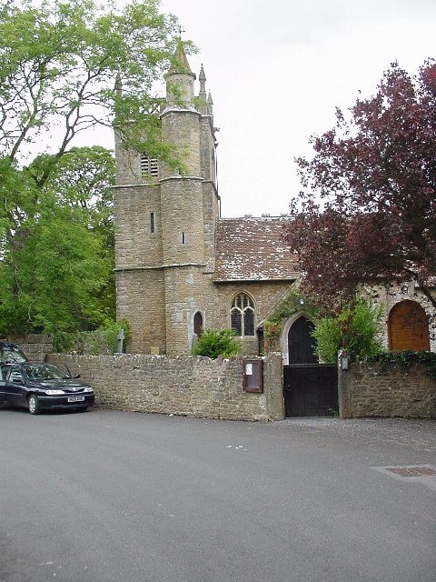
Church of St Michael and All Angels, Rowberrow

The Anglican Church of St Michael and All Angels at Rowberrow within the English county of Somerset dates from the 14th century, but parts were rebuilt...

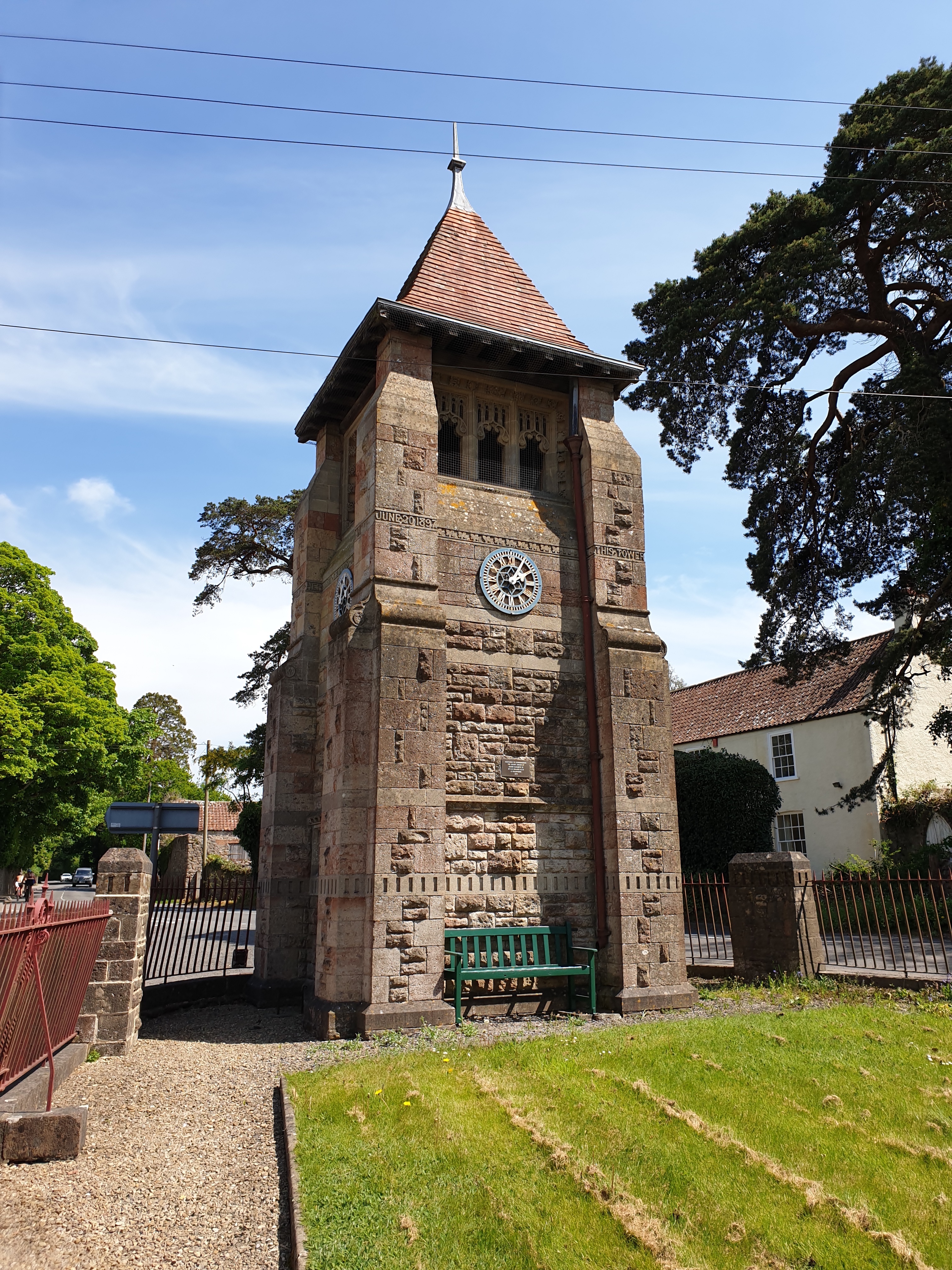
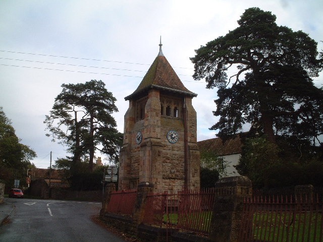
Jubilee Clock Tower, Churchill

The Jubilee Clock Tower, striking clock, and drinking fountain, is a Grade II listed building in the village of Churchill, North Somerset, built to commemorate...

Churchill Methodist Church

Churchill Methodist Church, in the village of Churchill, North Somerset, is a Grade II listed Methodist church on the Somerset Mendip Methodist Circuit...
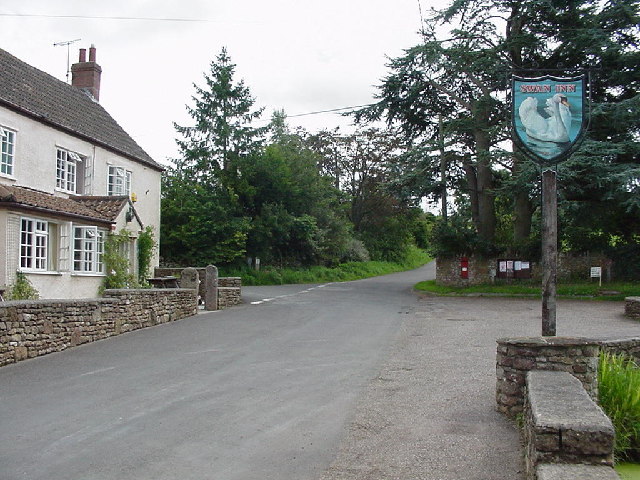
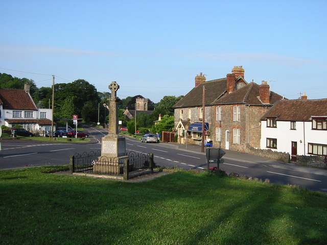
Churchill, Somerset

Churchill is a village and civil parish in the unitary authority of North Somerset, part of the ceremonial county of Somerset. It is located on the western...

Dolebury Warren

Dolebury Warren (also known as Dolebury Camp) is a 90.6 hectares (224 acres) biological Site of Special Scientific Interest (SSSI) and ancient monument...

Sidney Hill Cottage Homes

Sidney Hill Cottage Homes, whose official name is Sidney Hill Churchill Wesleyan Cottage Homes, is a Grade II listed estate of Wesleyan cottage homes in...

Rowberrow

Rowberrow is a small village and former civil parish, now in the parish of Shipham in the Somerset district, in the ceremonial county of Somerset, England...

Nearby Amenities

Located within 500m of 51.327827,-2.7965575
Created By: xybot
Historic: fort
Source: npe
Lat/Long: 51.3263276/-2.7908072
Barrier: kissing_gate
Lat/Long: 51.331477/-2.7934519
Barrier: kissing_gate
Lat/Long: 51.3316893/-2.7947233
Power: pole
Lat/Long: 51.3272714/-2.8026402
Power: pole
Lat/Long: 51.3286307/-2.8019857
Power: pole
Lat/Long: 51.3309921/-2.8007519
Barrier: kissing_gate
Lat/Long: 51.3285025/-2.7896824
Generator Method: photovoltaic
Generator Output Electricity: yes
Generator Source: solar
Generator Type: solar_photovoltaic_panel
Location: roof
Power: generator
Lat/Long: 51.3315594/-2.7945507
Generator Method: photovoltaic
Generator Output Electricity: yes
Generator Source: solar
Generator Type: solar_photovoltaic_panel
Location: roof
Power: generator
Lat/Long: 51.3315887/-2.7945077
Generator Method: photovoltaic
Generator Output Electricity: yes
Generator Source: solar
Generator Type: solar_photovoltaic_panel
Location: roof
Power: generator
Lat/Long: 51.3322138/-2.7949959
Generator Method: photovoltaic
Generator Output Electricity: yes
Generator Source: solar
Generator Type: solar_photovoltaic_panel
Location: roof
Power: generator
Lat/Long: 51.3320211/-2.7949369
Generator Method: photovoltaic
Generator Output Electricity: yes
Generator Source: solar
Generator Type: solar_photovoltaic_panel
Location: roof
Power: generator
Lat/Long: 51.3311513/-2.7936173
Generator Method: photovoltaic
Generator Output Electricity: yes
Generator Source: solar
Generator Type: solar_photovoltaic_panel
Location: roof
Power: generator
Lat/Long: 51.3277524/-2.7960017
The data included in this document is from www.openstreetmap.org. The data is made available under ODbL.

Have you been to Dolebury Bottom?

Leave your review of Dolebury Bottom below (or comments, questions and feedback).