Sharpitor Copse

Wood, Forest in Devon Teignbridge

England

Sharpitor Copse

East Ogwell church  The church is dedicated to St Bartholomew
East Ogwell church Credit: David Smith

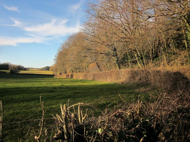
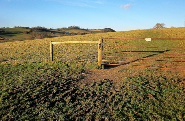
Sharpitor Copse is a picturesque woodland located in the county of Devon, England. Situated near the village of Dartmeet, this enchanting copse covers an area of approximately 10 hectares and is known for its diverse flora and fauna.

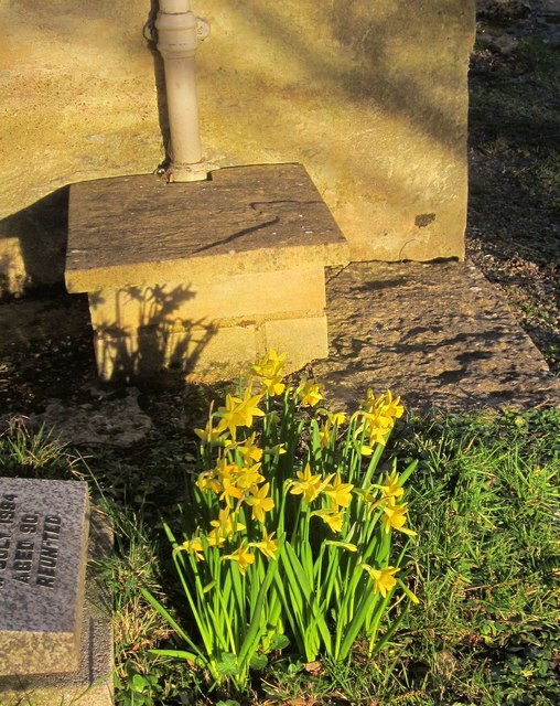
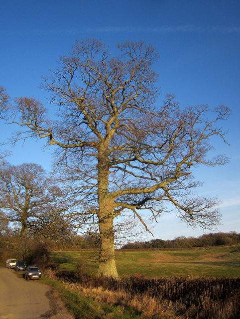
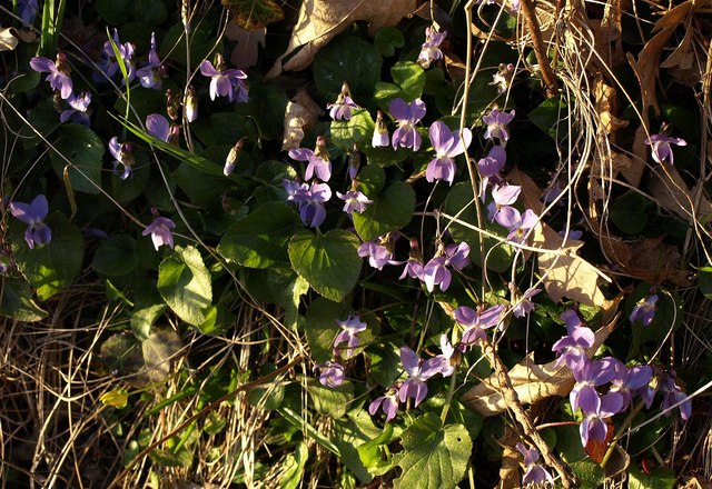
The copse is predominantly composed of native deciduous trees, including oak, beech, and ash, which create a dense canopy that provides shade and shelter for a variety of woodland creatures. The forest floor is adorned with a rich carpet of bluebells, wild garlic, and wood sorrel during the spring months, creating a stunning display of colors.

Sharpitor Copse is also home to a multitude of wildlife species, making it a popular destination for nature enthusiasts and birdwatchers. Visitors can spot a range of bird species, such as the great spotted woodpecker, tawny owl, and song thrush, among others. Woodland mammals, including badgers, foxes, and deer, can also be observed in their natural habitat.

The copse offers several walking trails, allowing visitors to explore its beauty at their own pace. The paths wind through the ancient trees, providing a peaceful and tranquil atmosphere. There are also designated picnic areas where visitors can enjoy a leisurely lunch amidst the natural beauty of the copse.

Overall, Sharpitor Copse in Devon is a stunning woodland that offers a haven for both nature lovers and wildlife enthusiasts. Its diverse ecosystem and beautiful surroundings make it a must-visit destination for anyone seeking a peaceful retreat in the heart of nature.

If you have any feedback on the listing, please let us know in the comments section below.

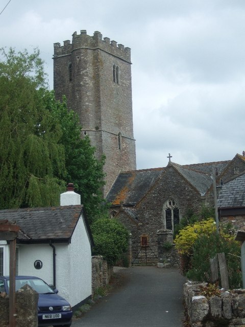
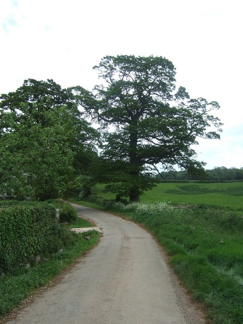
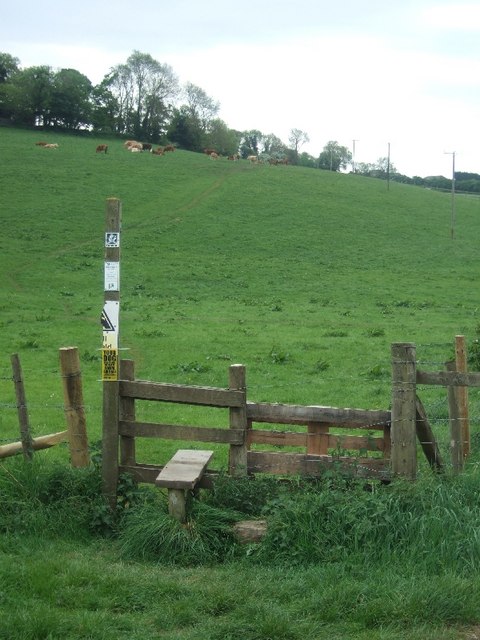
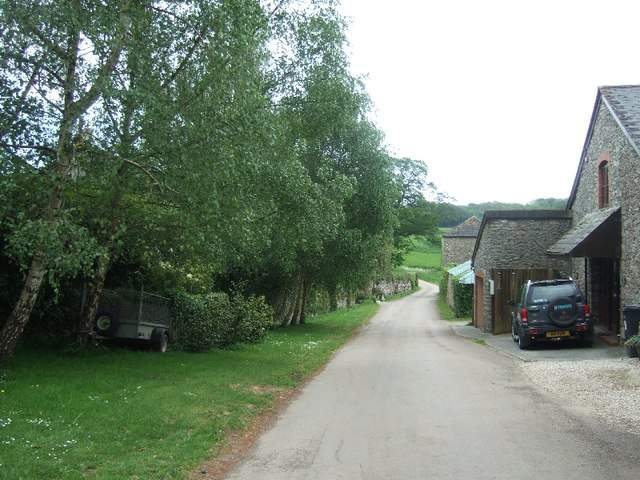
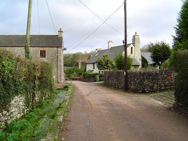
Sharpitor Copse Images

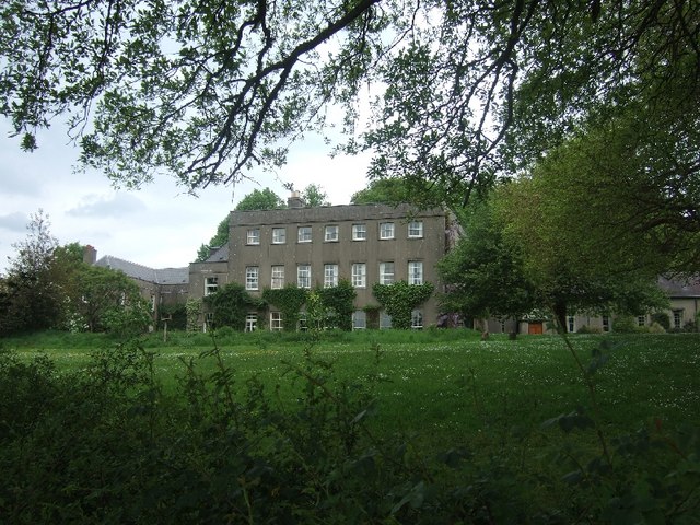
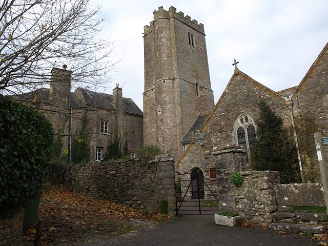
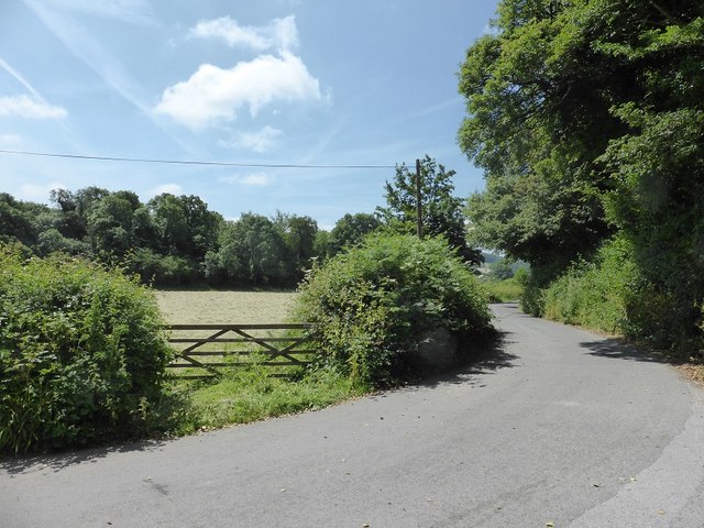
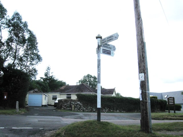
Images are sourced within 2km of 50.503868/-3.6534084 or Grid Reference SX8268. Thanks to Geograph Open Source API. All images are credited.

East Ogwell church  The church is dedicated to St Bartholomew
East Ogwell church
The church is dedicated to St Bartholomew
Minor road leading east from West Ogwell
Stile at start of footpath to Denbury from West Ogwell
West Ogwell
West Ogwell
Part of Gaia House Gaia House is a centre for meditation in the Buddhist tradition
Part of Gaia House
Gaia House is a centre for meditation in the Buddhist tradition
Inside West Ogwell church The church is grade 1 listed, but no  longer in use. (<span class="nowrap"><a title="http://en.wikipedia.org/wiki/West_Ogwell_Church)" rel="nofollow ugc noopener" href="http://en.wikipedia.org/wiki/West_Ogwell_Church)">Link</a><img style="margin-left:2px;" alt="External link" title="External link - shift click to open in new window" src="https://s1.geograph.org.uk/img/external.png" width="10" height="10"/></span>
Inside West Ogwell church
The church is grade 1 listed, but no longer in use. (LinkExternal link
West Ogwell church The church is preserved by the Churches Conservation Trust
West Ogwell church
The church is preserved by the Churches Conservation Trust
St  Bartholomew's Church - reredos The existence of an active and productive (East) Ogwell quarry <a href="https://www.geograph.org.uk/photo/2919925">SX8570 : Tower of St Mary's Church Wolborough</a> in the area in Victorian times, probably gave rise to the creation of this wonderful reredos. Built with all the skill the masons possessed and with the local natural "Devonshire Marble", the marble columns and the inserted marble panels are set in what appears to be Beer stone from the quarries just outside the east Devon coastal village of Beer.

There are other examples in the church of the use of marble from the South Devon area ... it is worth looking around to see what can be found, but none so wonderful as the marble in the reredos at St. Bartholomew's Church at East Ogwell.
St Bartholomew's Church - reredos
The existence of an active and productive (East) Ogwell quarry SX8570 : Tower of St Mary's Church Wolborough in the area in Victorian times, probably gave rise to the creation of this wonderful reredos. Built with all the skill the masons possessed and with the local natural "Devonshire Marble", the marble columns and the inserted marble panels are set in what appears to be Beer stone from the quarries just outside the east Devon coastal village of Beer. There are other examples in the church of the use of marble from the South Devon area ... it is worth looking around to see what can be found, but none so wonderful as the marble in the reredos at St. Bartholomew's Church at East Ogwell.
Manor House, West Ogwell A remarkably severe, almost institutional, facade. The render doesn't help. Built 1790 for Pierce Joseph Taylor. Was he an ascetic or guilty about having a big house? Grade II listed.
It now appears to go by the name Gaia House and serves as a Buddhist retreat.
Manor House, West Ogwell
A remarkably severe, almost institutional, facade. The render doesn't help. Built 1790 for Pierce Joseph Taylor. Was he an ascetic or guilty about having a big house? Grade II listed. It now appears to go by the name Gaia House and serves as a Buddhist retreat.
East Ogwell church and Manor House
The road past Greenawell Park
Ogwell Green Cross
Ogwell Green Cross
Piebald Copse The lane from West Ogwell Cross to Chercombe Bridge runs alongside this wood, one of many small woods in the area.
Piebald Copse
The lane from West Ogwell Cross to Chercombe Bridge runs alongside this wood, one of many small woods in the area.
Gate on footpath, West Ogwell Ogwell Footpath 7 passes through the gate on its way to the Lemon valley.
Gate on footpath, West Ogwell
Ogwell Footpath 7 passes through the gate on its way to the Lemon valley.
Tower door, West Ogwell church Ogwell Footpath 7 runs through the churchyard. The unrestored grade I listed church dates from the C13, though the tower is later <span class="nowrap"><a title="http://list.english-heritage.org.uk/resultsingle.aspx?uid=1334475&searchtype=mapsearch" rel="nofollow ugc noopener" href="http://list.english-heritage.org.uk/resultsingle.aspx?uid=1334475&searchtype=mapsearch">Link</a><img style="margin-left:2px;" alt="External link" title="External link - shift click to open in new window" src="https://s1.geograph.org.uk/img/external.png" width="10" height="10"/></span> .
Tower door, West Ogwell church
Ogwell Footpath 7 runs through the churchyard. The unrestored grade I listed church dates from the C13, though the tower is later LinkExternal link .
Daffodils, West Ogwell By the side of the church porch.
Daffodils, West Ogwell
By the side of the church porch.
Tree, West Ogwell A tall oak by the lane through the hamlet.
Tree, West Ogwell
A tall oak by the lane through the hamlet.
Violets near West Ogwell By the lane past Greenawell Park.
Violets near West Ogwell
By the lane past Greenawell Park.
Show me another place!

Sharpitor Copse is located at Grid Ref: SX8268 (Lat: 50.503868, Lng: -3.6534084)

Administrative County: Devon

District: Teignbridge

Police Authority: Devon and Cornwall

What 3 Words

///woods.ignites.curls. Near Ipplepen, Devon

Related Wikis

Denbury Hill

Denbury Hill (also known as Denbury Camp and Denbury Down) is the name of an Iron Age hill fort near the village of Denbury in Devon, England. The fort...

Denbury

Denbury is a village and former civil parish, now in the parish of Denbury and Torbryan, in Teignbridge district of Devon, England. The village is situated...

HM Prison Channings Wood

HM Prison Channings Wood is a Category C men's prison, located in the parish of Ogwell (near Newton Abbot) in Devon, England. The prison is operated by...

Torbryan

Torbryan is a village and former civil parish, now in the parish of Denbury and Torbryan, in the Teignbridge district, in the county of Devon, England...

Nearby Amenities

Located within 500m of 50.503868,-3.6534084
Ipplepen Cross
Place: locality
Lat/Long: 50.5052725/-3.6485371
Newton Cross
Place: locality
Lat/Long: 50.5064817/-3.6533347
Generator Method: photovoltaic
Generator Output Electricity: yes
Generator Source: solar
Generator Type: solar_photovoltaic_panel
Location: roof
Power: generator
Lat/Long: 50.5044554/-3.6601253
Power: pole
Lat/Long: 50.5045147/-3.6547659
Power: pole
Lat/Long: 50.5080808/-3.6558844
Power: pole
Lat/Long: 50.5077329/-3.6542979
Power: pole
Lat/Long: 50.5074497/-3.652997
Power: pole
Lat/Long: 50.5054427/-3.6535375
Power: pole
Lat/Long: 50.505934/-3.652698
Power: pole
Lat/Long: 50.506224/-3.6522205
Power: pole
Lat/Long: 50.5067853/-3.6512911
Power: pole
Lat/Long: 50.5072441/-3.6520261
Power: pole
Lat/Long: 50.5070147/-3.650929
Power: pole
Lat/Long: 50.5067025/-3.6492178
Power: pole
Lat/Long: 50.5064774/-3.647874
The data included in this document is from www.openstreetmap.org. The data is made available under ODbL.

Have you been to Sharpitor Copse?

Leave your review of Sharpitor Copse below (or comments, questions and feedback).