Denbury Green
Downs, Moorland in Devon Teignbridge
England
Denbury Green
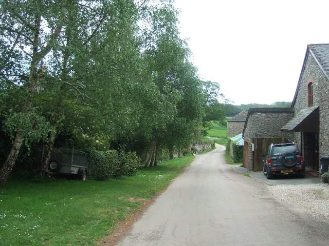
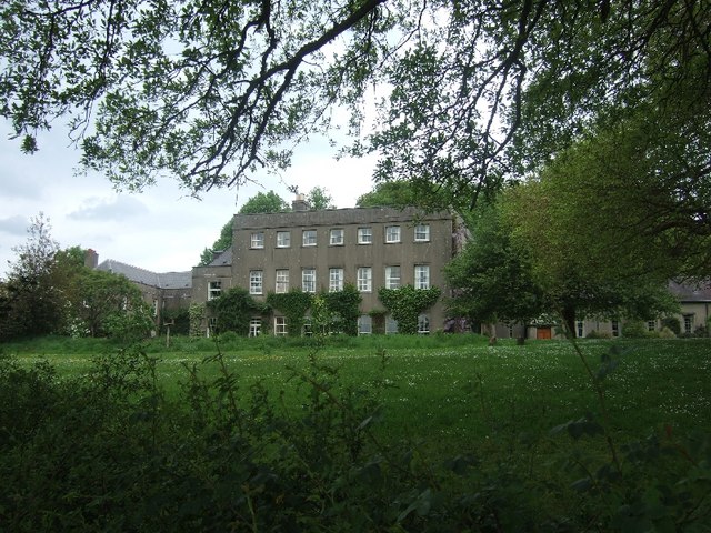
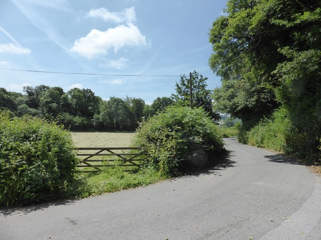
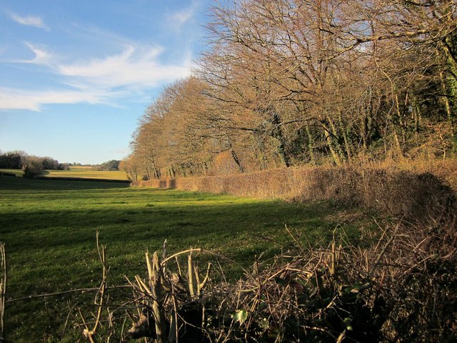
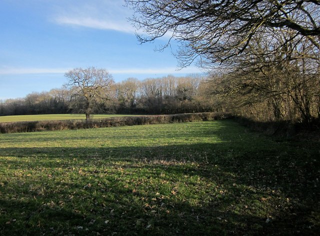
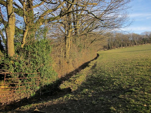
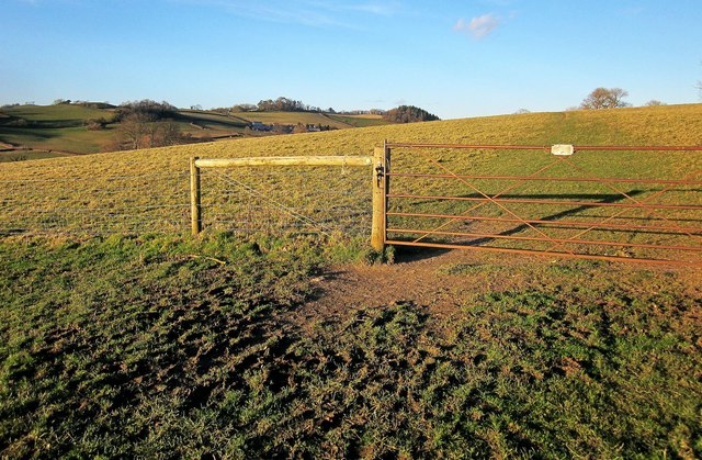
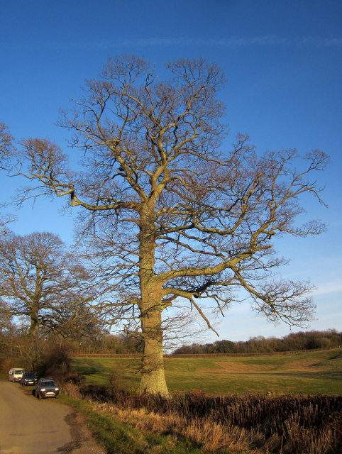
Denbury Green is a small village located in the county of Devon, England. Situated amidst the enchanting landscape of the Downs and Moorland, it offers residents and visitors a picturesque setting with its rolling hills, lush green fields, and stunning views of the surrounding countryside.
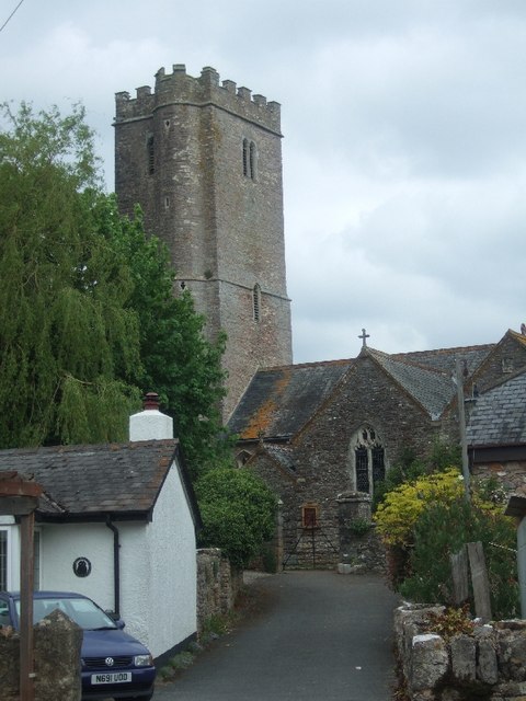
The village itself is quaint and charming, with a population of around 500 people. It exudes a sense of tranquility and a close-knit community spirit that is characteristic of rural English villages. Denbury Green is known for its traditional thatched cottages, which add to its idyllic charm.
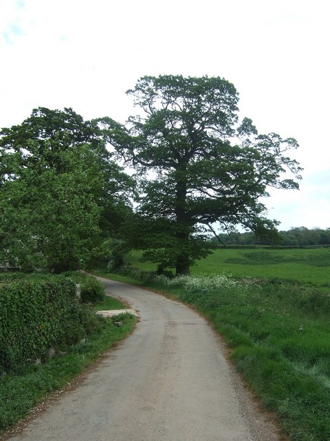
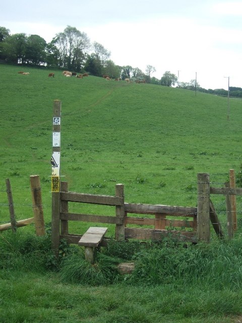
Nature lovers and outdoor enthusiasts will find plenty to explore in the area. The Downs provide ample opportunities for hiking, cycling, and horseback riding, with numerous trails winding through the scenic countryside. The Moorland, on the other hand, offers a unique landscape with its open expanses, heather-covered hills, and rugged terrain.
The village is also home to a few local amenities, including a charming village pub, a post office, and a small convenience store. While Denbury Green may not boast a wide range of facilities, its proximity to nearby towns and cities ensures that residents have access to all the necessary amenities and services.
Overall, Denbury Green, Devon (Downs, Moorland) offers a serene and picturesque setting, making it an ideal place for those seeking a quiet and rural lifestyle surrounded by the natural beauty of the English countryside.
If you have any feedback on the listing, please let us know in the comments section below.
Denbury Green Images
Images are sourced within 2km of 50.505775/-3.659102 or Grid Reference SX8268. Thanks to Geograph Open Source API. All images are credited.

Denbury Green is located at Grid Ref: SX8268 (Lat: 50.505775, Lng: -3.659102)
Administrative County: Devon
District: Teignbridge
Police Authority: Devon and Cornwall
What 3 Words
///brisk.repeat.last. Near Ipplepen, Devon
Nearby Locations
Related Wikis

Denbury
Denbury is a village and former civil parish, now in the parish of Denbury and Torbryan, in Teignbridge district of Devon, England. The village is situated...

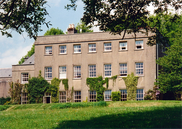
HM Prison Channings Wood
HM Prison Channings Wood is a Category C men's prison, located in the parish of Ogwell (near Newton Abbot) in Devon, England. The prison is operated by...

Denbury Hill
Denbury Hill (also known as Denbury Camp and Denbury Down) is the name of an Iron Age hill fort near the village of Denbury in Devon, England. The fort...

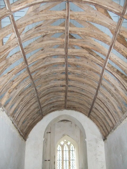
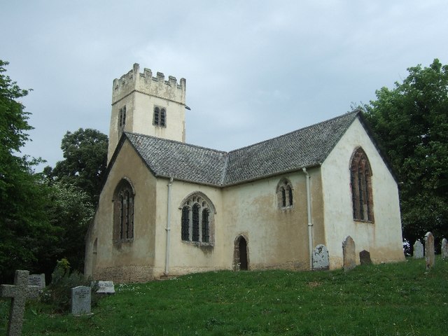
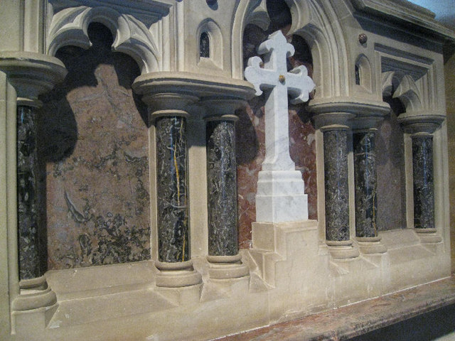
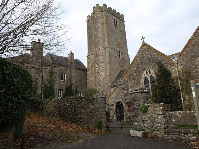
West Ogwell Church
West Ogwell Church in Ogwell, Devon, England was built in the 13th century. It is recorded in the National Heritage List for England as a designated Grade...
Nearby Amenities
Located within 500m of 50.505775,-3.659102Have you been to Denbury Green?
Leave your review of Denbury Green below (or comments, questions and feedback).