Blackdown Plantation
Wood, Forest in Devon Mid Devon
England
Blackdown Plantation
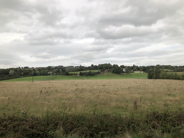
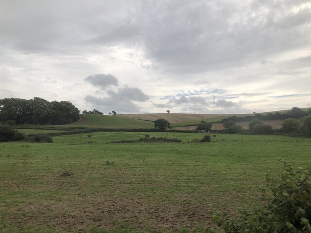
Blackdown Plantation is a picturesque woodland located in Devon, England. Situated in the heart of the Blackdown Hills Area of Outstanding Natural Beauty, this enchanting forest covers an area of approximately 500 acres.
The woodland is characterized by its diverse range of tree species, including oak, beech, and ash, which create a rich and vibrant canopy. The forest floor is adorned with a carpet of ferns, wildflowers, and mosses, adding to the area's natural beauty.
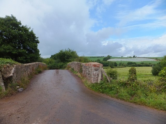
Popular among nature enthusiasts and hikers, Blackdown Plantation offers a network of well-maintained trails that wind through the forest, providing visitors with the opportunity to explore and immerse themselves in the tranquil surroundings. These trails cater to various abilities, from leisurely strolls to more challenging hikes, ensuring there is something for everyone to enjoy.
In addition to its natural wonders, the plantation also boasts a diverse array of wildlife. The woodland provides a habitat for a range of species, including deer, foxes, badgers, and a variety of bird species, making it a haven for wildlife enthusiasts and birdwatchers.
Blackdown Plantation offers a peaceful and serene escape from the hustle and bustle of everyday life. Whether visitors are seeking a relaxing walk, a picnic spot, or a chance to reconnect with nature, this stunning woodland offers an idyllic setting that is sure to captivate all who venture within its boundaries.
If you have any feedback on the listing, please let us know in the comments section below.
Blackdown Plantation Images
Images are sourced within 2km of 50.765036/-3.6932152 or Grid Reference SX8097. Thanks to Geograph Open Source API. All images are credited.


Blackdown Plantation is located at Grid Ref: SX8097 (Lat: 50.765036, Lng: -3.6932152)
Administrative County: Devon
District: Mid Devon
Police Authority: Devon and Cornwall
What 3 Words
///crackles.canal.downfield. Near Crediton, Devon
Nearby Locations
Related Wikis

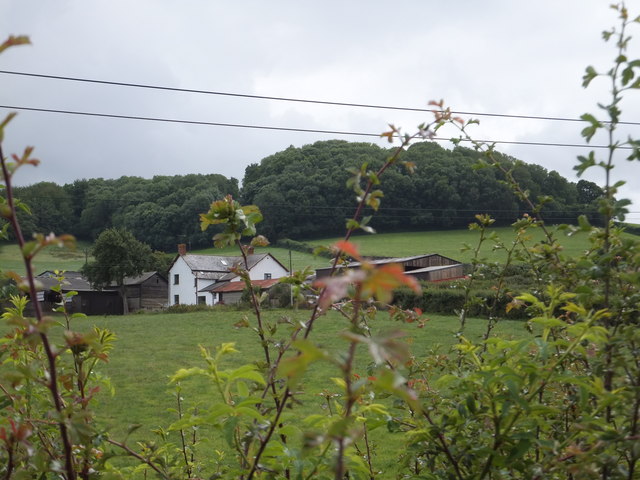
Posbury
Posbury is an ancient estate in Devon, now a hamlet, situated about 2 miles south-west of Crediton and 2 miles north of Tedburn St Mary and 1 mile west...

Crediton Hamlets
Crediton Hamlets is a civil parish in Mid Devon in the English county of Devon. It has a population of 1,307. == References ==

Yeoford
Yeoford () is a village near the town of Crediton in Devon, England. It is served by Yeoford railway station on the Exeter to Barnstaple railway line,...

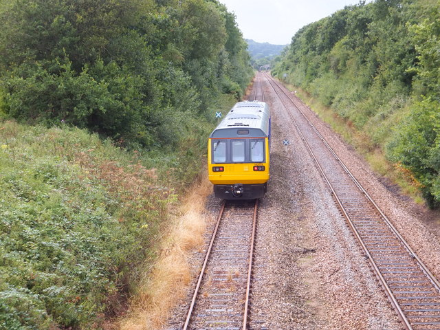
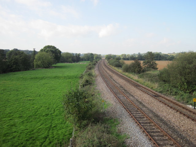
Yeoford railway station
Yeoford railway station is a rural station serving the village of Yeoford in Devon, England. It is on the Tarka Line to Barnstaple, 11 miles 42 chains...

River Yeo (tributary of the Creedy)
The River Yeo is a tributary to the River Creedy. It is located in Devon, England, and its headwaters float within two miles of a different River Yeo,...
Queen Elizabeth's Grammar School, Crediton
The former Queen Elizabeth's Grammar School in Crediton, Devon, England was founded (as The Kyng's Newe Gramer Scole of Credyton) in 1547 by Edward VI...

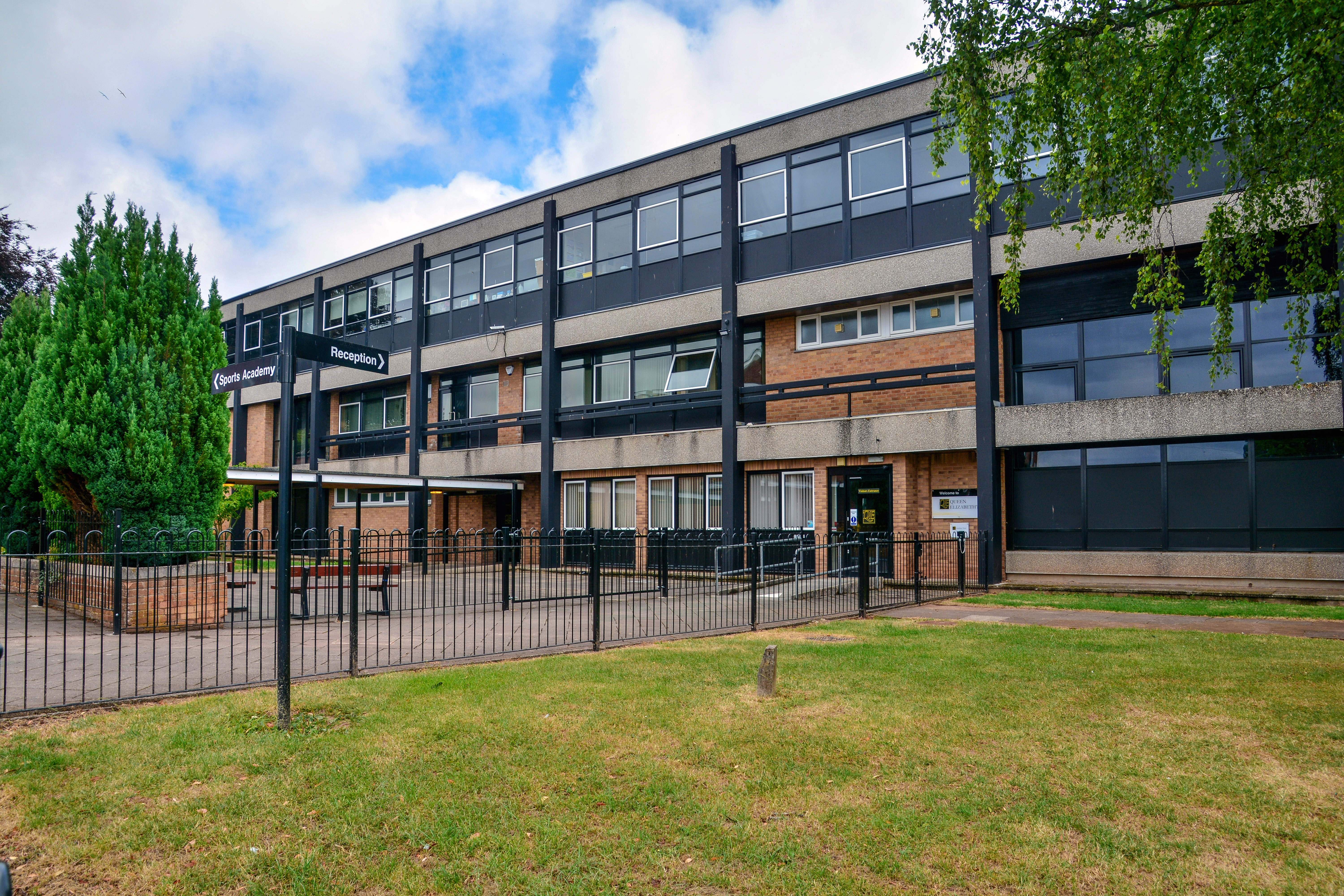
Queen Elizabeth's School, Crediton
Queen Elizabeth's School is an academy school, with a sixth-form, in Crediton, Devon. It has 1300 students. It was formed as a comprehensive school in...

Tedburn St Mary
Tedburn St Mary is a village and civil parish in the Teignbridge district of Devon, England, approximately 8 miles west of Exeter. It has a population...
Nearby Amenities
Located within 500m of 50.765036,-3.6932152Have you been to Blackdown Plantation?
Leave your review of Blackdown Plantation below (or comments, questions and feedback).