Down Copse
Wood, Forest in Devon Mid Devon
England
Down Copse
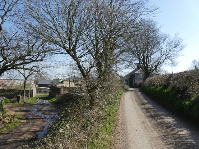
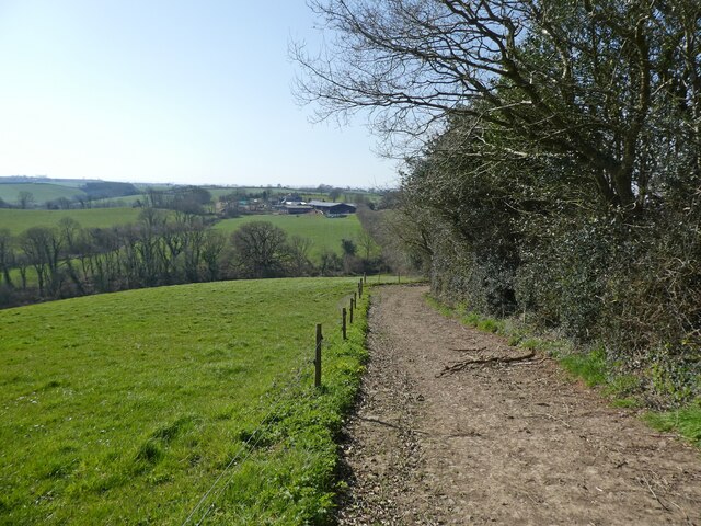
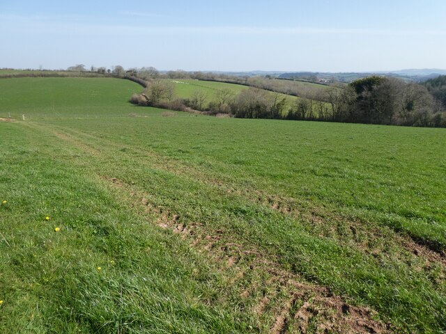
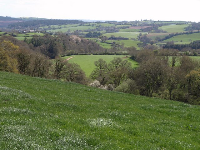
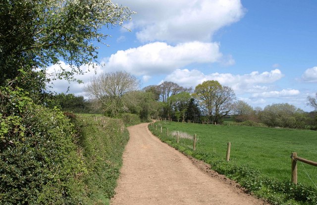
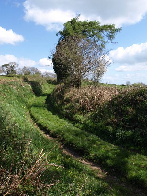
Down Copse is a picturesque woodland area located in Devon, England. Situated in the southwestern region of the country, it is known for its natural beauty and diverse ecosystem. The copse spans across an area of approximately 100 acres, making it a significant woodland in the region.
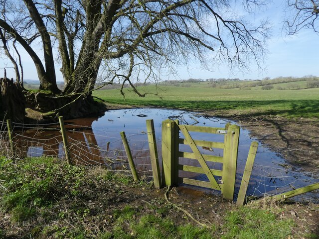
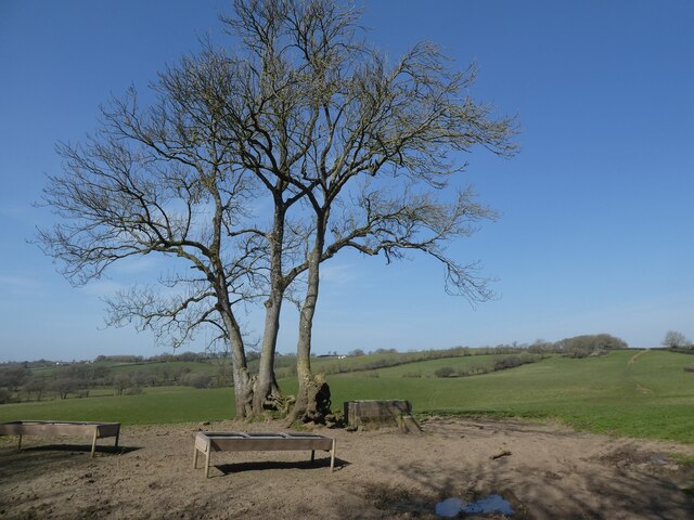
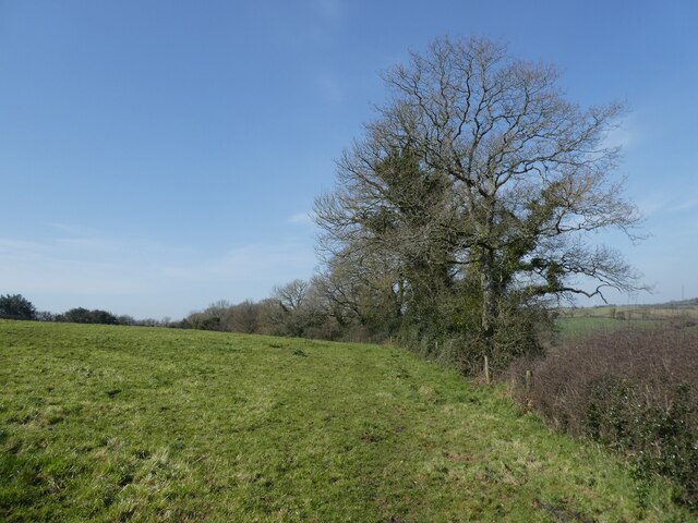
The woodland is predominantly composed of deciduous trees, such as oak, beech, and ash, which provide a stunning display of colors during the autumn season. These trees create a dense canopy that filters the sunlight, creating a cool and tranquil atmosphere within the copse.
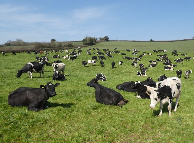
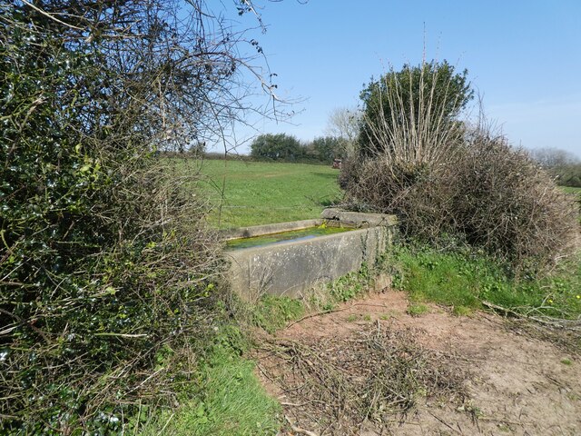
Down Copse is also home to a wide range of wildlife species. It serves as a sanctuary for various bird species, including woodpeckers, owls, and finches. Mammals such as badgers, foxes, and rabbits can also be found within the copse, taking advantage of the diverse habitat it offers.
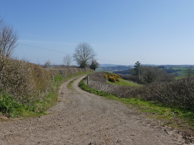
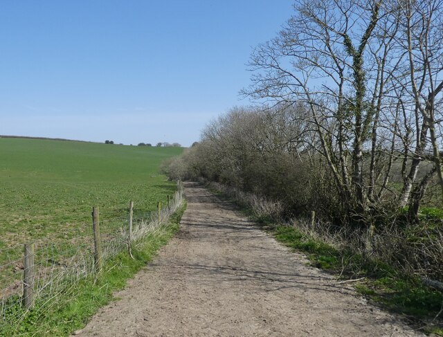
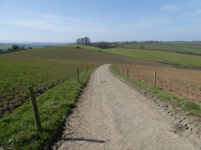
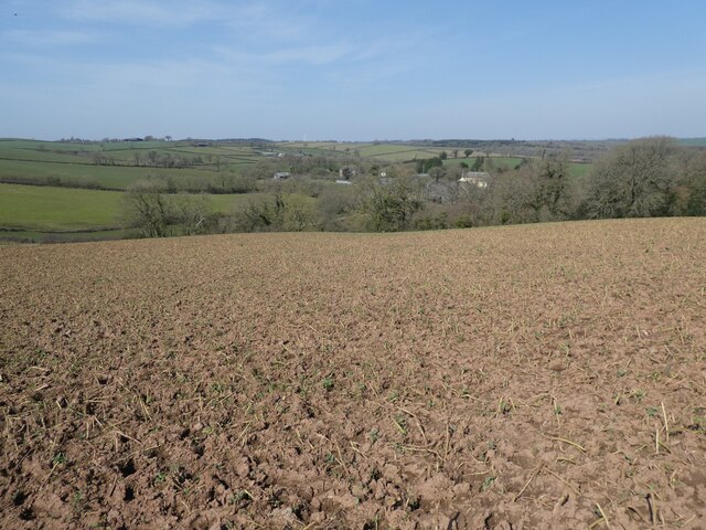
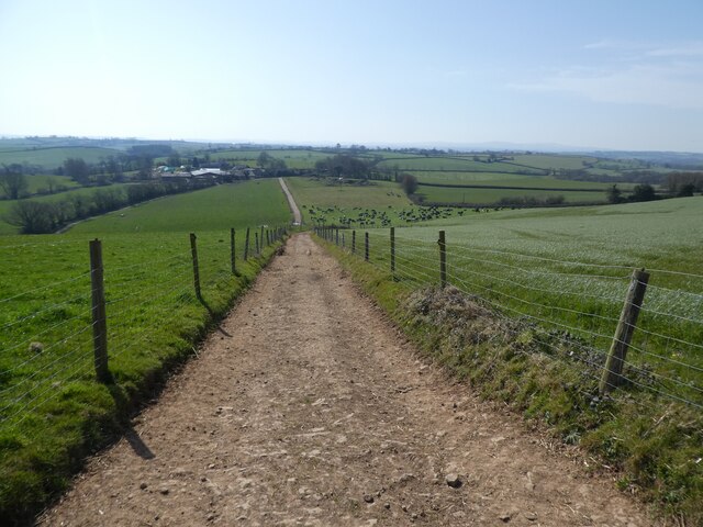
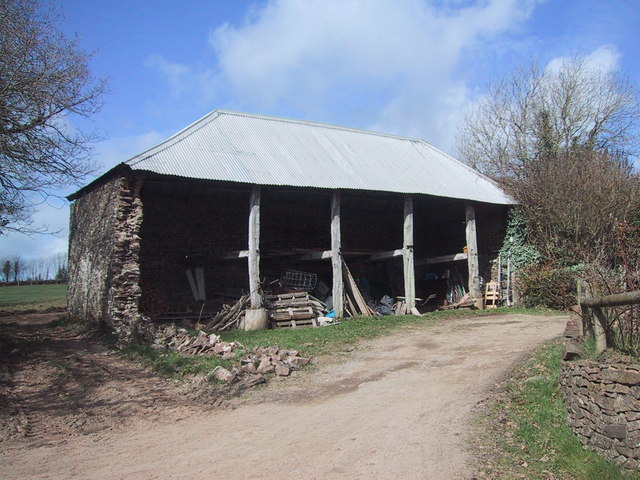
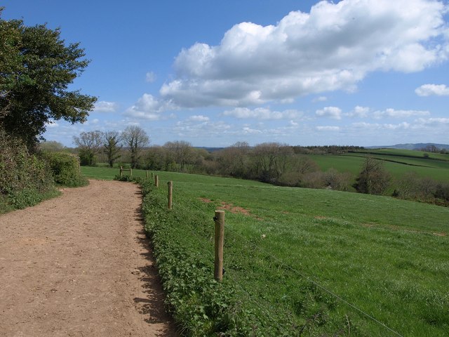
The copse is crisscrossed with a network of footpaths, allowing visitors to explore the woodland and appreciate its natural wonders. These paths wind through the trees, revealing hidden clearings, babbling brooks, and vibrant wildflower meadows. It is a popular destination for hikers, nature enthusiasts, and photographers, who come to capture the beauty of the copse throughout the changing seasons.
Managed by a local conservation organization, Down Copse is carefully preserved to maintain its ecological balance. Efforts are made to protect the woodland from any potential threats and to promote its biodiversity. The copse is also used for educational purposes, with guided tours and workshops organized to raise awareness about the importance of preserving natural habitats.
Overall, Down Copse in Devon is a remarkable woodland that offers visitors a chance to immerse themselves in nature, appreciate its beauty, and learn about the importance of conservation.
If you have any feedback on the listing, please let us know in the comments section below.
Down Copse Images
Images are sourced within 2km of 50.843774/-3.6961925 or Grid Reference SS8006. Thanks to Geograph Open Source API. All images are credited.
Down Copse is located at Grid Ref: SS8006 (Lat: 50.843774, Lng: -3.6961925)
Administrative County: Devon
District: Mid Devon
Police Authority: Devon and Cornwall
What 3 Words
///paddocks.likely.slows. Near Morchard Bishop, Devon
Nearby Locations
Related Wikis

Fordy Wood Copse
Fordy Wood Copse is a woodland in Devon, England, near Sandford. It covers a total area of 0.64 hectares (1.58 acres) and overlooks the River Creedy. It...

Kennerleigh
Kennerleigh is a village and civil parish in Devon, England.The church is dedicated to St John the Baptist, which underwent significant restoration around...
Berry Castle, Black Dog
Berry Castle is an earthwork probably dating to the Iron Age close to Black Dog in Devon north of Crediton and west of Tiverton. It does not fit the traditional...

Oldborough
Oldborough is a village in Devon, England. It is near the village of Morchard Bishop. Oldborough has a population of just under 1,000 people. The only...

Woolfardisworthy, Mid Devon
Woolfardisworthy (pronounced "Woolsery") is a village and civil parish in Mid Devon. It is situated about 5 miles (9 km) north of Crediton. According to...

Black Dog, Devon
Black Dog is a village in Mid Devon, ten miles west of Tiverton and six miles north of Crediton. The village is on one of the highest ridges of land between...

Morchard Bishop
Morchard Bishop is a village and civil parish in Mid Devon in the English county of Devon. It has a population of 975, and contains a primary school, two...
Stockleigh English
Stockleigh English is a village and civil parish in Devon, England. It has a 15th-century church, Saint Mary the Virgin, which was restored 1878–83.Stockleigh...
Have you been to Down Copse?
Leave your review of Down Copse below (or comments, questions and feedback).