Posbury
Heritage Site in Devon Mid Devon
England
Posbury
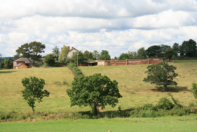
Posbury is a small and picturesque village located in the county of Devon, England. It is nestled within the beautiful countryside, surrounded by rolling hills and lush green landscapes. The village is renowned for its rich heritage and historical significance, attracting visitors from all over the world.
One of the highlights of Posbury is its charming heritage site, which is a testament to its past. The site features a well-preserved medieval church, St. Mary's, which dates back to the 12th century. This beautiful church boasts intricate architectural details, including a Norman doorway and a stunning stained glass window. It is a place of worship and also serves as a popular venue for weddings and other special events.
Posbury also boasts a number of historic houses and buildings that reflect its long-standing history. These include traditional thatched cottages and Georgian-style manor houses, which are a delight to explore and admire.
Apart from its historical attractions, Posbury offers a tranquil and peaceful environment for visitors to unwind and connect with nature. The village is surrounded by scenic walking trails and cycling routes, providing ample opportunities for outdoor activities. The nearby River Pos, which runs through the village, offers fishing and boating opportunities for those seeking a more leisurely experience.
In terms of amenities, Posbury has a small but welcoming community, with a local pub and a village hall that hosts various events throughout the year. Visitors can also find accommodation options in the form of bed and breakfasts or self-catering cottages, providing a comfortable stay in this idyllic setting.
Overall, Posbury in Devon is a hidden gem that offers a perfect blend of history, natural beauty, and a warm community atmosphere, making it an ideal destination for travelers seeking a unique and tranquil experience.
If you have any feedback on the listing, please let us know in the comments section below.
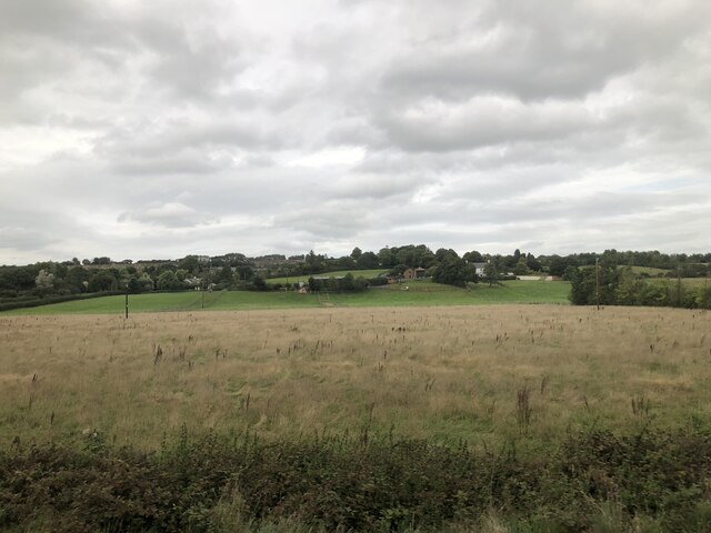
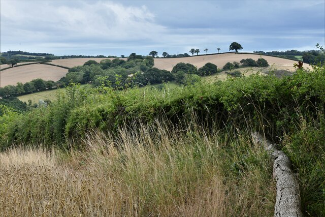
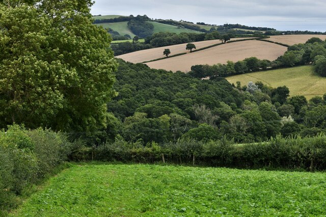
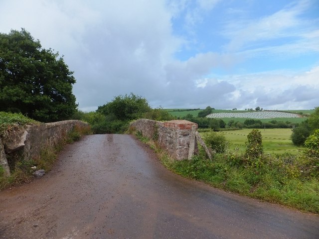
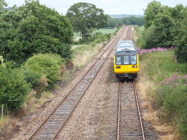
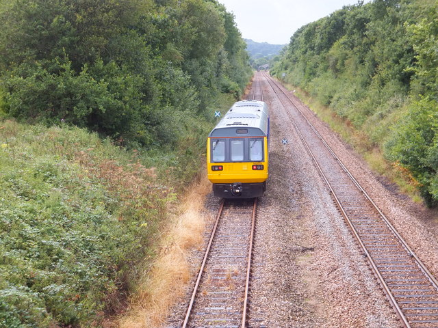
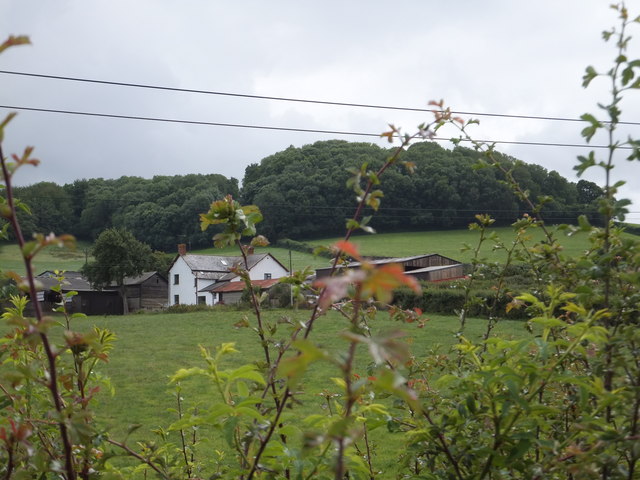
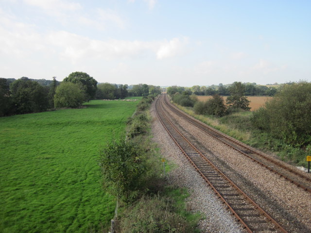
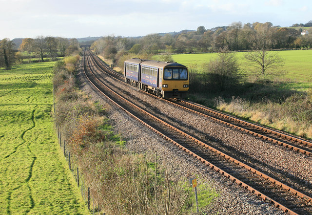
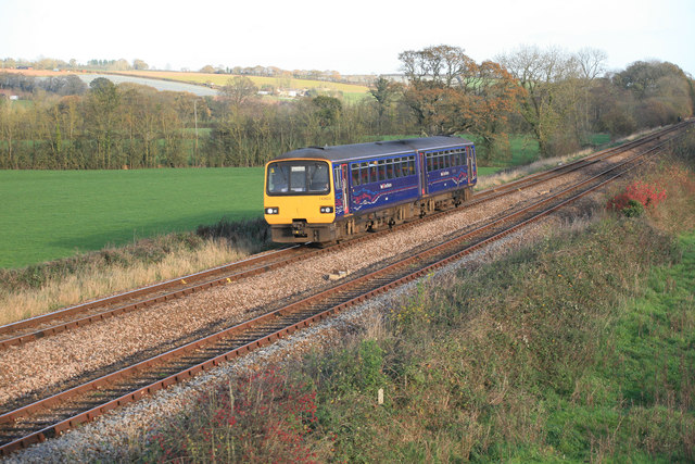
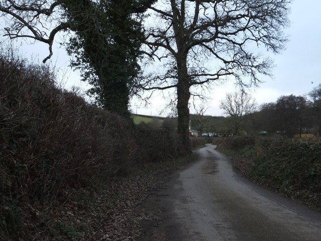
Posbury Images
Images are sourced within 2km of 50.763/-3.695 or Grid Reference SX8097. Thanks to Geograph Open Source API. All images are credited.


Posbury is located at Grid Ref: SX8097 (Lat: 50.763, Lng: -3.695)
Administrative County: Devon
District: Mid Devon
Police Authority: Devon and Cornwall
What 3 Words
///clerk.divide.manual. Near Crediton, Devon
Nearby Locations
Related Wikis

Posbury
Posbury is an ancient estate in Devon, now a hamlet, situated about 2 miles south-west of Crediton and 2 miles north of Tedburn St Mary and 1 mile west...

Crediton Hamlets
Crediton Hamlets is a civil parish in Mid Devon in the English county of Devon. It has a population of 1,307. == References ==

Yeoford
Yeoford () is a village near the town of Crediton in Devon, England. It is served by Yeoford railway station on the Exeter to Barnstaple railway line,...

River Yeo (tributary of the Creedy)
The River Yeo is a tributary to the River Creedy. It is located in Devon, England, and its headwaters float within two miles of a different River Yeo,...
Nearby Amenities
Located within 500m of 50.763,-3.695Have you been to Posbury?
Leave your review of Posbury below (or comments, questions and feedback).