Possingworth Manor House
Heritage Site in Sussex Wealden
England
Possingworth Manor House

Possingworth Manor House is a historic building located in the county of Sussex, England. It is recognized as a heritage site due to its architectural significance and historical importance.
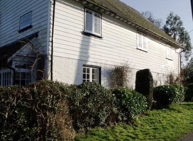
The manor house dates back to the 16th century and has undergone various renovations and additions over the years. It is a fine example of Tudor architecture, characterized by its timber-framed structure, steep gabled roofs, and intricate woodwork. The building is surrounded by well-maintained gardens and lush greenery, providing a picturesque setting.
The manor house has had various owners throughout its history, including influential families and notable individuals. It served as a residence for wealthy landowners and played a significant role in the local community. The interior of the manor house features several well-preserved rooms, each representing different periods of its history. Visitors can explore the grand hall, drawing room, dining room, and bedrooms, all adorned with period furniture, artwork, and decorative elements.
Possingworth Manor House offers guided tours, allowing visitors to learn about its fascinating history and architectural details. The guides provide insights into the manor's historical significance, its inhabitants, and the lifestyle of the time. The site also hosts occasional cultural events and exhibits, showcasing local art and crafts.
Today, Possingworth Manor House stands as a testament to the rich heritage of Sussex. It attracts history enthusiasts, architecture lovers, and those seeking a glimpse into the past. The manor house offers a unique opportunity to step back in time and experience the grandeur and charm of a bygone era.
If you have any feedback on the listing, please let us know in the comments section below.
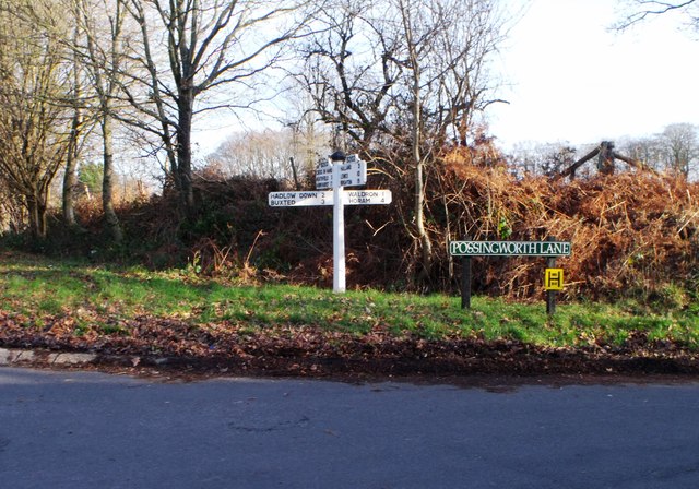
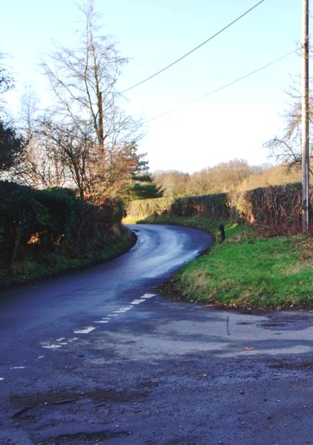
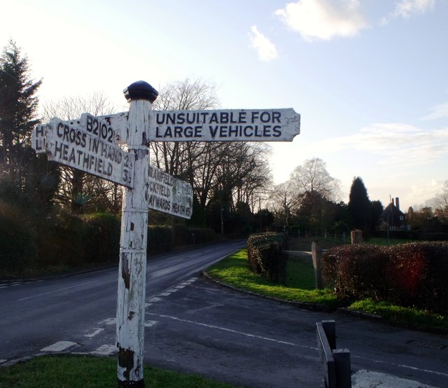
Possingworth Manor House Images
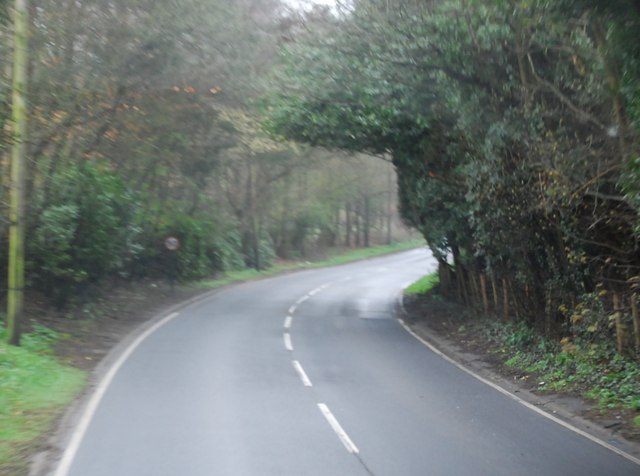
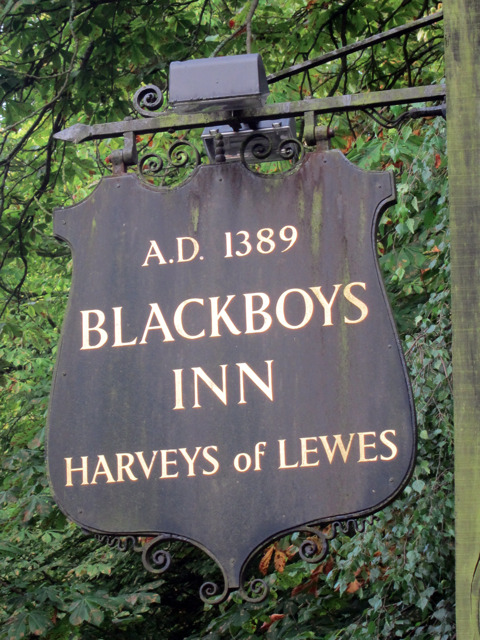
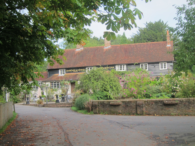
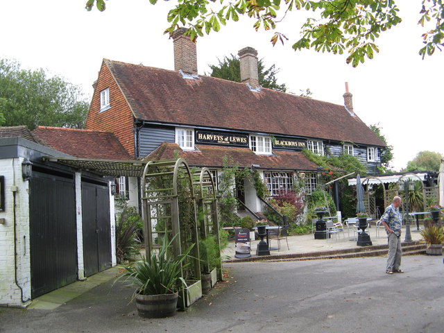
Images are sourced within 2km of 50.963/0.187 or Grid Reference TQ5320. Thanks to Geograph Open Source API. All images are credited.


Possingworth Manor House is located at Grid Ref: TQ5320 (Lat: 50.963, Lng: 0.187)
Administrative County: East Sussex
District: Wealden
Police Authority: Sussex
What 3 Words
///burst.wolves.dawn. Near Buxted, East Sussex
Nearby Locations
Related Wikis

Holy Cross Priory, Cross-in-Hand
Holy Cross Priory, Cross-in-Hand, is a priory of the Benedictine Sisters of Grace and Compassion which provides homes for the elderly. It was established...

Roser's Cross
Roser's Cross is a village in the Wealden district of East Sussex.

Selwyns Wood
Selwyns Wood is a 11-hectare (27-acre) nature reserve west of Heathfield in Sussex. It is managed by the Sussex Wildlife Trust.This reserve has woodland...

Waldron Cutting
Waldron Cutting is a 0.2-hectare (0.49-acre) geological Site of Special Scientific Interest in East Sussex. It is a Geological Conservation Review site...

New Mill, Cross-in-Hand
New Mill is a Grade II* listed post mill at Cross in Hand near Heathfield, East Sussex, England. It was the last windmill working commercially by wind...

Cross-in-Hand
Cross-in-Hand is a small village outside Heathfield town to its west, in the Wealden District situated in East Sussex, England. It is occasionally referred...

Heathfield transmitting station
The Heathfield transmitting station is a facility for FM and television transmission at Heathfield, East Sussex, UK (grid reference TQ566220). Opened in...
Vanguard Way
The Vanguard Way is a long-distance walk of 66.2 mi (106.5 km) from East Croydon station in outer London (OS grid reference TQ328658), travelling from...
Nearby Amenities
Located within 500m of 50.963,0.187Have you been to Possingworth Manor House?
Leave your review of Possingworth Manor House below (or comments, questions and feedback).