Dogkennel Wood

Wood, Forest in Sussex Wealden

England

Dogkennel Wood

B2102, Possingworth Park
B2102, Possingworth Park Credit: N Chadwick

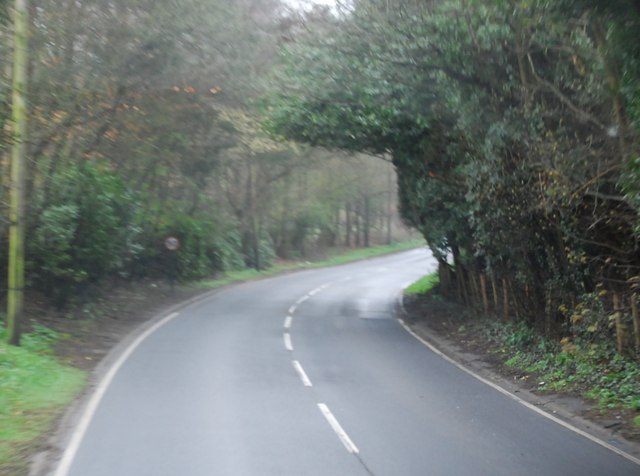
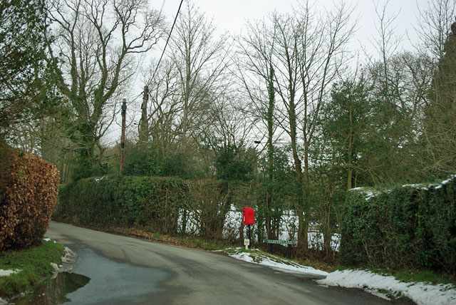
Dogkennel Wood is a beautiful woodland located in Sussex, England. Covering an area of approximately 50 acres, this ancient woodland is a haven for nature enthusiasts and dog walkers alike. The wood is named after the historical practice of keeping hunting dogs in kennels nearby.

The wood is predominantly made up of broadleaf trees, including oak, beech, and ash, which create a diverse and vibrant ecosystem. Bluebells carpet the forest floor in spring, creating a stunning display of color. The wood is also home to a variety of wildlife, such as deer, badgers, and a multitude of bird species including woodpeckers and owls.

A network of well-maintained trails and footpaths wind through the wood, providing visitors with the opportunity to explore its natural beauty. These paths offer a range of routes, catering to both casual strollers and more adventurous hikers. The wood is also a popular spot for picnics and family outings, with designated areas for relaxation and enjoying the surroundings.

The management of Dogkennel Wood is overseen by a local conservation group, ensuring the preservation of its natural habitat and protecting the diverse range of flora and fauna. This dedication to conservation has resulted in the wood being recognized as a Site of Special Scientific Interest (SSSI), further emphasizing its importance within the region.

Overall, Dogkennel Wood offers visitors a tranquil escape into nature, with its scenic beauty, diverse wildlife, and well-maintained trails. Whether it's a leisurely stroll, a picnic, or simply an appreciation for the wonders of the natural world, Dogkennel Wood is a must-visit destination in Sussex.

If you have any feedback on the listing, please let us know in the comments section below.

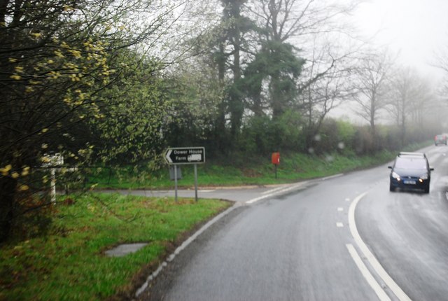
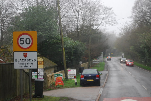
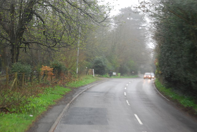
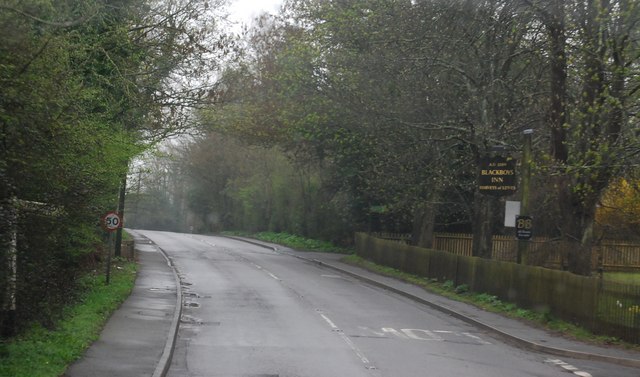
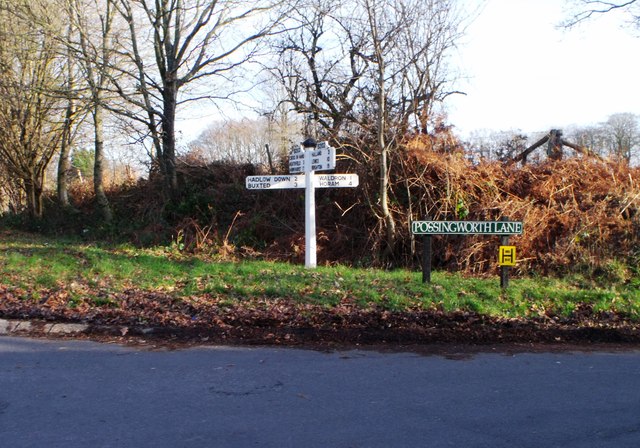
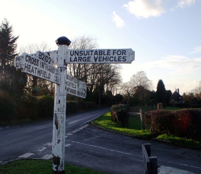
Dogkennel Wood Images

Images are sourced within 2km of 50.964461/0.17964609 or Grid Reference TQ5320. Thanks to Geograph Open Source API. All images are credited.

B2102, Possingworth Park
B2102, Waldron Down
B2102, Waldron Down
B2102 at Sharlands
B2102 at Sharlands
Entering Blackboys, B2102
B2192, Blackboys The B2192, runs 10 miles from Earwig Corner <a href="https://www.geograph.org.uk/photo/1838834">TQ4211 : Earwig Corner</a> on the A26 immediately northeast of Lewes as far as Blackboys, between Uckfield and Heathfield.
B2192, Blackboys
The B2192, runs 10 miles from Earwig Corner TQ4211 : Earwig Corner on the A26 immediately northeast of Lewes as far as Blackboys, between Uckfield and Heathfield.
B2192 passes Blackboys Inn The B2192, runs 10 miles from Earwig Corner <a href="https://www.geograph.org.uk/photo/1838834">TQ4211 : Earwig Corner</a> on the A26 immediately northeast of Lewes as far as Blackboys, between Uckfield and Heathfield.
B2192 passes Blackboys Inn
The B2192, runs 10 miles from Earwig Corner TQ4211 : Earwig Corner on the A26 immediately northeast of Lewes as far as Blackboys, between Uckfield and Heathfield.
B2192 south west of Blackboys
Blackboys Inn sign Sign for <a href="https://www.geograph.org.uk/photo/2538940">TQ5220 : Blackboys Inn, Blackboys</a>, a Harveys of Lewes pub.
Blackboys Inn sign
Sign for TQ5220 : Blackboys Inn, Blackboys, a Harveys of Lewes pub.
Blackboys Inn, Blackboys A Harveys of Lewes pub.

Also see <a href="https://www.geograph.org.uk/photo/2538939">TQ5220 : Blackboys Inn sign</a>
Blackboys Inn, Blackboys
A Harveys of Lewes pub. Also see TQ5220 : Blackboys Inn sign
Blackboys Inn
Blackboys Inn
Signboard near Blackboys, East Sussex
Weather boarded house, Nursery Lane, Waldron Down
Road junction, Pounsley, East Sussex
Signboard, Blackboys, East Sussex
Post box at the corner The corner being the junction of Harpers Lane to the right with Moat Lane. The post box is actually on a small grass triangle.
Post box at the corner
The corner being the junction of Harpers Lane to the right with Moat Lane. The post box is actually on a small grass triangle.
Warren Lane Despite appearances, a residential road, with well spaced houses hidden behind the hedges.
Warren Lane
Despite appearances, a residential road, with well spaced houses hidden behind the hedges.
Nursery Lane The lane gets a bit slippery, perversely on a hill.
Nursery Lane
The lane gets a bit slippery, perversely on a hill.
A slippery Nursery Lane Care needed down the hill with limited braking at first.
A slippery Nursery Lane
Care needed down the hill with limited braking at first.
Show me another place!

Dogkennel Wood is located at Grid Ref: TQ5320 (Lat: 50.964461, Lng: 0.17964609)

Administrative County: East Sussex

District: Wealden

Police Authority: Sussex

What 3 Words

///emulating.fishery.slogged. Near Buxted, East Sussex

Related Wikis

Holy Cross Priory, Cross-in-Hand

Holy Cross Priory, Cross-in-Hand, is a priory of the Benedictine Sisters of Grace and Compassion which provides homes for the elderly. It was established...

Roser's Cross

Roser's Cross is a village in the Wealden district of East Sussex.

Selwyns Wood

Selwyns Wood is a 11-hectare (27-acre) nature reserve west of Heathfield in Sussex. It is managed by the Sussex Wildlife Trust.This reserve has woodland...

Waldron Cutting

Waldron Cutting is a 0.2-hectare (0.49-acre) geological Site of Special Scientific Interest in East Sussex. It is a Geological Conservation Review site...

New Mill, Cross-in-Hand

New Mill is a Grade II* listed post mill at Cross in Hand near Heathfield, East Sussex, England. It was the last windmill working commercially by wind...

Vanguard Way

The Vanguard Way is a long-distance walk of 66.2 mi (106.5 km) from East Croydon station in outer London (OS grid reference TQ328658), travelling from...

Etchingwood

Etchingwood is a small cluster of mostly detached properties and farms within the civil parish of Buxted in the Wealden district of East Sussex, England...

Cross-in-Hand

Cross-in-Hand is a small village outside Heathfield town to its west, in the Wealden District situated in East Sussex, England. It is occasionally referred...

Nearby Amenities

Located within 500m of 50.964461,0.17964609
Barrier: stile
Lat/Long: 50.9659143/0.1793472
Post Box
Operator: Royal Mail
Operator Wikidata: Q638098
Post Box Type: lamp
Ref: TN22 74D
Royal Cypher: EIIR
Royal Cypher Wikidata: Q33102113
Lat/Long: 50.9659521/0.1735554
Post Box
Brand: Royal Mail
Brand Wikidata: Q638098
Brand Wikipedia: en:Royal Mail
Operator: Royal Mail
Operator Wikidata: Q638098
Post Box Type: lamp
Ref: TN22 72
Royal Cypher: EIIR
Royal Cypher Wikidata: Q33102113
Lat/Long: 50.9685711/0.1821632
Brownings Farm
Addr Postcode: TN22 5HG
Place: farm
Source Name: OS_OpenData_StreetView
Lat/Long: 50.9666859/0.177176
Possingworth Manor Farm
Place: farm
Source Name: OS_OpenData_Streetview
Lat/Long: 50.9631638/0.1834738
Barrier: stile
Lat/Long: 50.965312/0.1817686
Barrier: stile
Material: wood
Stile: stepover
Lat/Long: 50.9679771/0.1792187
Barrier: stile
Lat/Long: 50.9657595/0.1796022
The data included in this document is from www.openstreetmap.org. The data is made available under ODbL.

Have you been to Dogkennel Wood?

Leave your review of Dogkennel Wood below (or comments, questions and feedback).