Braddons Plantation

Wood, Forest in Cambridgeshire East Cambridgeshire

England

Braddons Plantation

On Little Wilbraham Road in November The long narrow plantation marks the line of part of the main runway of Bottisham Airfield (1940-6), which at first had a grass runway. According to the American Air Museum in Britain website “The P-47 Thunderbolts of the 361st Fighter Group damaged the surfaces of the airfield so much in the first months of flying from Bottisham that American engineers were called in to lay a new runway. In January 1944 they constructed a 1,470-yard-long runway with pierced-steel planking in just three days”.

These images may be of interest: <a href="https://www.geograph.org.uk/photo/5991392">TL5458 : Little Wilbraham: a farm track with a history</a>, <a href="https://www.geograph.org.uk/photo/5610857">TL5460 : Restored buildings at Bottisham Airfield Museum</a> and <a href="https://www.geograph.org.uk/photo/5610851">TL5460 : The Stars and Stripes at Bottisham Airfield Museum</a>.
On Little Wilbraham Road in November Credit: John Sutton

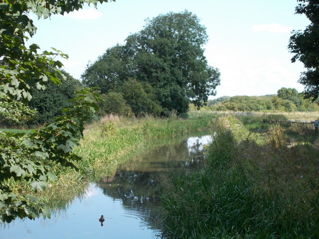
Braddons Plantation is a picturesque woodland located in Cambridgeshire, England. Covering an area of approximately 50 acres, this enchanting forest is a popular destination for nature enthusiasts and those seeking tranquility in the midst of nature.

The plantation boasts a diverse range of tree species, including oak, beech, birch, and pine, creating a rich tapestry of colors throughout the seasons. The towering trees provide a serene canopy, allowing sunlight to filter through, casting a magical glow on the forest floor. The woodland is home to a variety of wildlife, including deer, foxes, rabbits, and a myriad of bird species, making it a haven for birdwatchers and wildlife photographers.

Braddons Plantation offers a network of well-maintained trails, enabling visitors to explore the forest at their own pace. These paths wind through the woodland, meandering past babbling brooks, small ponds, and meadows adorned with wildflowers. Along the way, there are several benches strategically placed, offering visitors the opportunity to pause and immerse themselves in the tranquil surroundings.

The plantation also features a designated picnic area, complete with tables and benches, providing a perfect spot for families and friends to enjoy a leisurely outdoor meal amidst the beauty of nature. Additionally, the plantation has a small car park, ensuring convenient access for visitors.

Whether one seeks solace in the embrace of nature, wishes to embark on a scenic walk, or simply desires to appreciate the wonders of wildlife, Braddons Plantation offers a captivating experience for all.

If you have any feedback on the listing, please let us know in the comments section below.

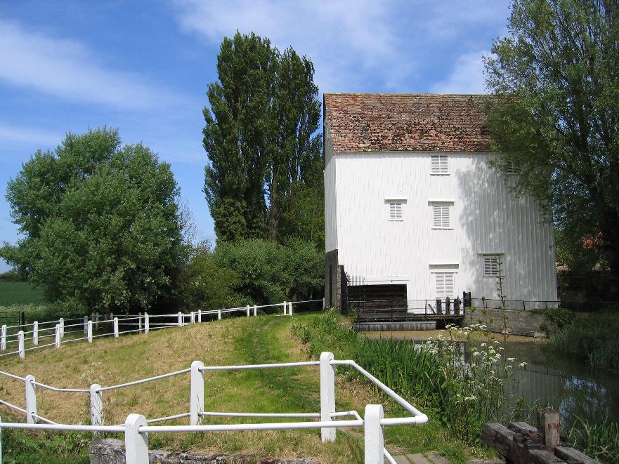
Braddons Plantation Images

Images are sourced within 2km of 52.226074/0.2408477 or Grid Reference TL5361. Thanks to Geograph Open Source API. All images are credited.

On Little Wilbraham Road in November The long narrow plantation marks the line of part of the main runway of Bottisham Airfield (1940-6), which at first had a grass runway. According to the American Air Museum in Britain website “The P-47 Thunderbolts of the 361st Fighter Group damaged the surfaces of the airfield so much in the first months of flying from Bottisham that American engineers were called in to lay a new runway. In January 1944 they constructed a 1,470-yard-long runway with pierced-steel planking in just three days”.

These images may be of interest: <a href="https://www.geograph.org.uk/photo/5991392">TL5458 : Little Wilbraham: a farm track with a history</a>, <a href="https://www.geograph.org.uk/photo/5610857">TL5460 : Restored buildings at Bottisham Airfield Museum</a> and <a href="https://www.geograph.org.uk/photo/5610851">TL5460 : The Stars and Stripes at Bottisham Airfield Museum</a>.
On Little Wilbraham Road in November
The long narrow plantation marks the line of part of the main runway of Bottisham Airfield (1940-6), which at first had a grass runway. According to the American Air Museum in Britain website “The P-47 Thunderbolts of the 361st Fighter Group damaged the surfaces of the airfield so much in the first months of flying from Bottisham that American engineers were called in to lay a new runway. In January 1944 they constructed a 1,470-yard-long runway with pierced-steel planking in just three days”. These images may be of interest: TL5458 : Little Wilbraham: a farm track with a history, TL5460 : Restored buildings at Bottisham Airfield Museum and TL5460 : The Stars and Stripes at Bottisham Airfield Museum.
Straight track to the south of Quy Hall
Quy Hall
Quy Hall
Quy Water near to Quy Hall
Quy Water from the bridge at Station Road
Public footpath signs at the Stone Bridge
Anglesey Abbey
Anglesey Abbey
Quy Water, Harcamlow Way
Green stretch of Quy Water
Lode Mill
Lode Mill
Church Walk, Lode
Church Walk, Lode
Recreation ground, Lode
Stow-cum-Quy village Entering Sow-cum-Quy on a misty dull morning.
Stow-cum-Quy village
Entering Sow-cum-Quy on a misty dull morning.
Albert Road This is the start of Albert Road in Stow-cum-Quy with Main Street going off to the right.
Albert Road
This is the start of Albert Road in Stow-cum-Quy with Main Street going off to the right.
Quy Water Looking along Quy water from Stone Bridge outside Stow-cum_Quy village.
Quy Water
Looking along Quy water from Stone Bridge outside Stow-cum_Quy village.
Quy Road An unexpected lull in the traffic shows and empty road. This was quite unusual.
Quy Road
An unexpected lull in the traffic shows and empty road. This was quite unusual.
Lode Road This is the edge of the village of Lode.
Lode Road
This is the edge of the village of Lode.
Lode Post office The village of Lode is on a dead end road and so is a fairly quiet place.
Lode Post office
The village of Lode is on a dead end road and so is a fairly quiet place.
Show me another place!

Braddons Plantation is located at Grid Ref: TL5361 (Lat: 52.226074, Lng: 0.2408477)

Administrative County: Cambridgeshire

District: East Cambridgeshire

Police Authority: Cambridgeshire

What 3 Words

///butchers.hunches.wrist. Near Bottisham, Cambridgeshire

Nearby Locations

Braddons Plantation

Related Wikis

Stow cum Quy

Stow cum Quy , commonly referred to as Quy, is a village and civil parish in Cambridgeshire, England. Situated around 4 miles (6.4 km) north east of Cambridge...
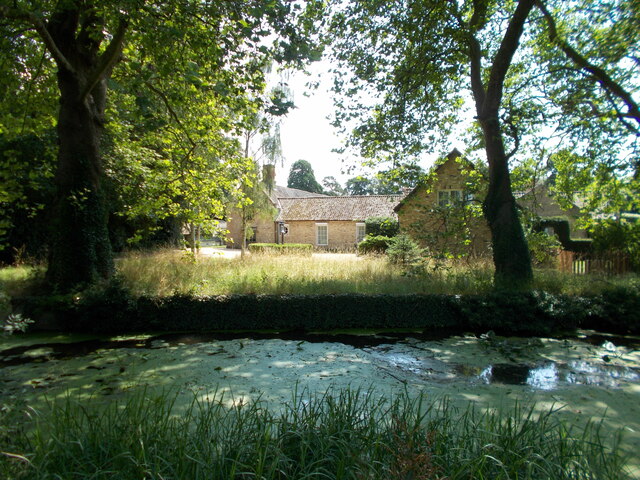
Anglesey Abbey

Anglesey Abbey is a National Trust property in the village of Lode, 5+1⁄2 miles (8.9 km) northeast of Cambridge, England. The property includes a country...
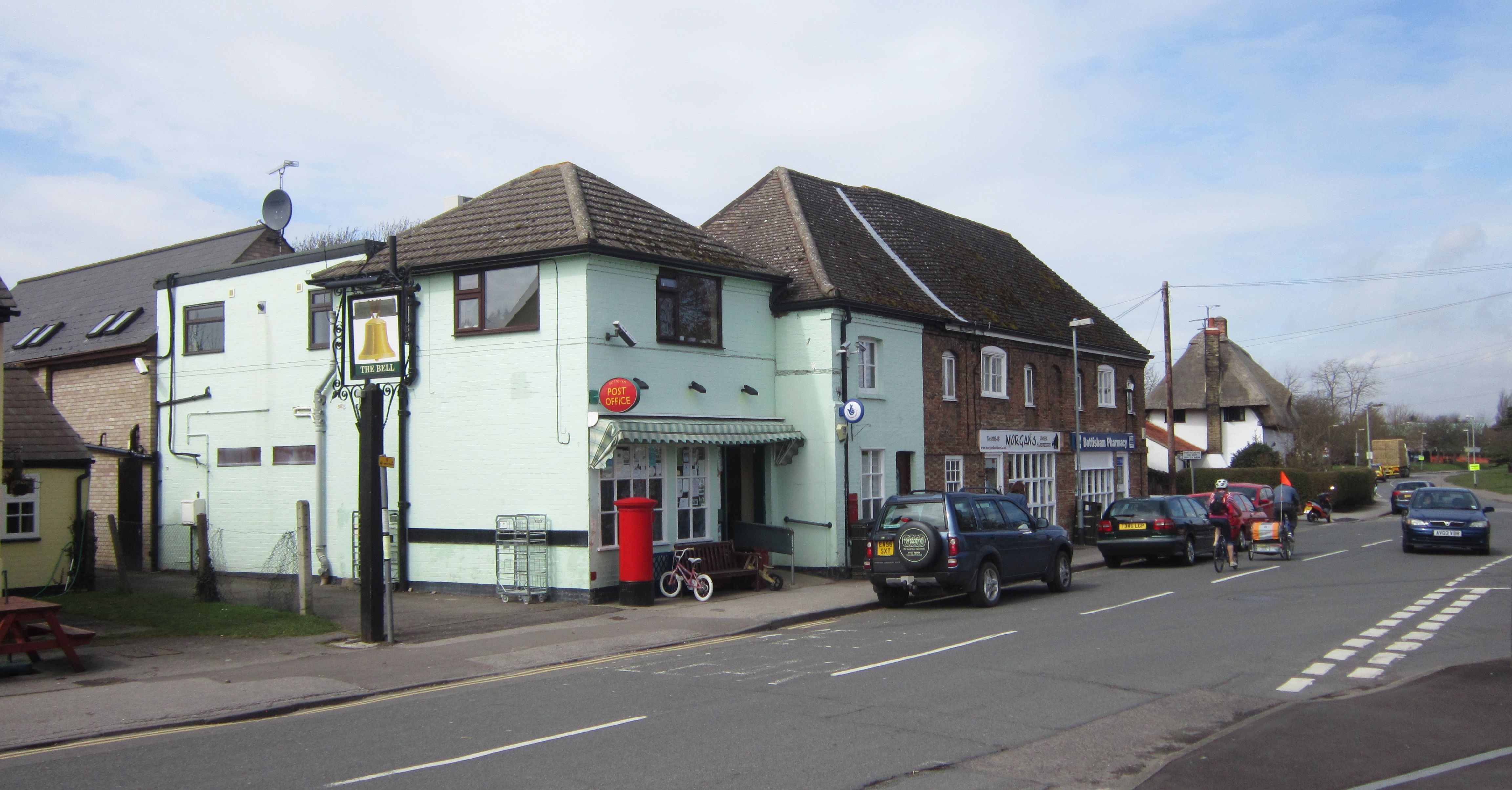
Bottisham

Bottisham is a village and civil parish in the East Cambridgeshire district of Cambridgeshire, England, about 6 miles (10 km) east of Cambridge, halfway...

Lode, Cambridgeshire

Lode is a small village in East Cambridgeshire on the southern edge of The Fens. It lies just north of the B1102 between Quy and Swaffham Bulbeck, 8 miles...
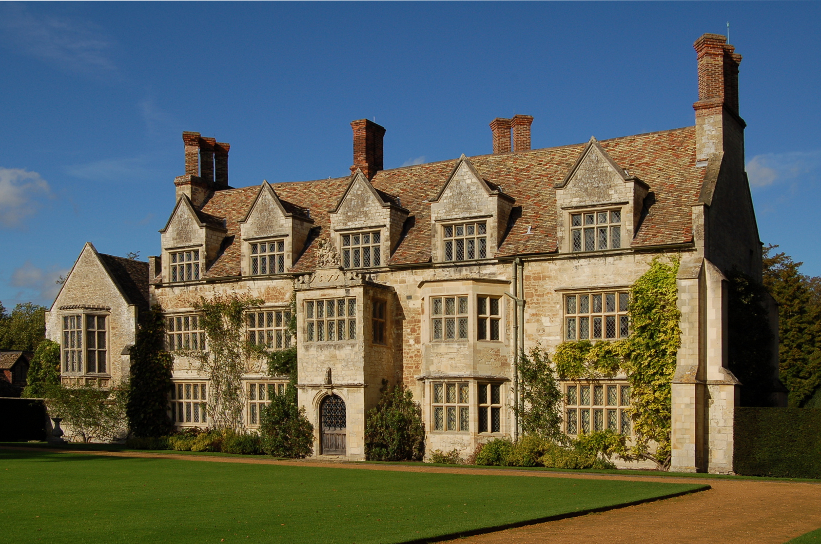
Quy Hall

Quy Hall is a Grade II* listed English country house at Stow cum Quy, Cambridgeshire. Originally dating from the late 15th century, it was completely remodelled...

RAF Bottisham

Royal Air Force Bottisham or more simply RAF Bottisham is a former Royal Air Force station located 5 miles (8 km) east of Cambridge, Cambridgeshire, England...

Leightonstone

Leightonstone was a hundred of Huntingdonshire mentioned in the Domesday Book of 1086. It took its name from the stone at Leighton Bromswold where the...

Quy railway station

Quy railway station served the parish of Stow cum Quy, Cambridgeshire, England from 1884 to 1964 on the Cambridge to Mildenhall railway. == History... ==

Nearby Amenities

Located within 500m of 52.226074,0.2408477
The data included in this document is from www.openstreetmap.org. The data is made available under ODbL.

Have you been to Braddons Plantation?

Leave your review of Braddons Plantation below (or comments, questions and feedback).