Castle Down
Downs, Moorland in Devon Mid Devon
England
Castle Down
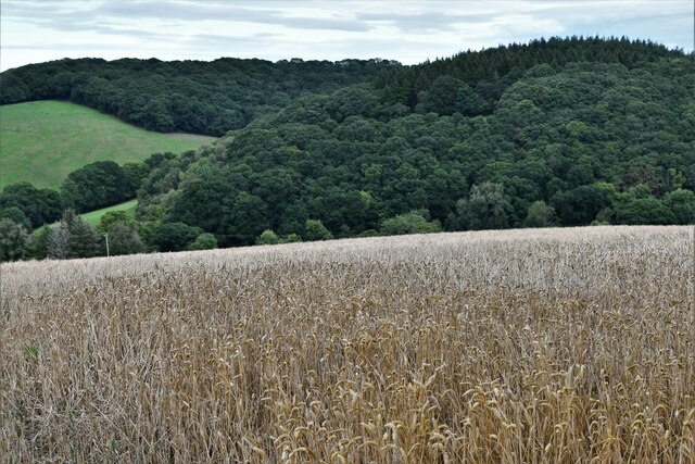
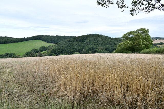
Castle Down is a picturesque region located in the county of Devon, England. Situated amidst the rolling hills and verdant landscapes, it is known for its breathtaking downs, moorland, and historical castle ruins. Spanning an area of approximately 100 square miles, Castle Down offers a diverse range of natural beauty and historical significance.
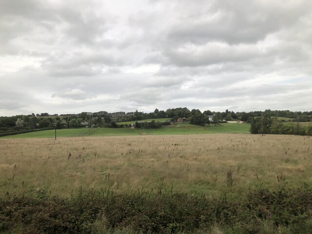
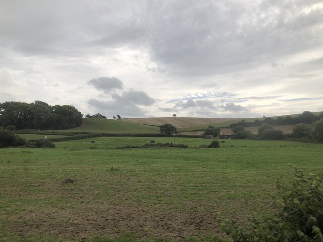
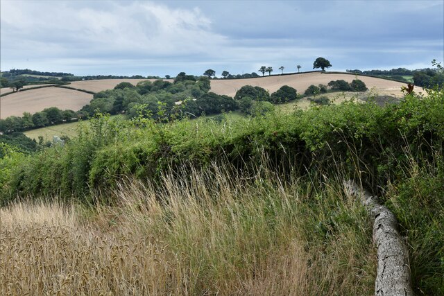
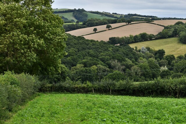
The downs of Castle Down are characterized by their smooth, grassy slopes, which provide stunning panoramic views of the surrounding countryside. These downs are home to a variety of plant and animal species, including rare orchids and butterflies, making it a haven for nature enthusiasts and wildlife lovers.
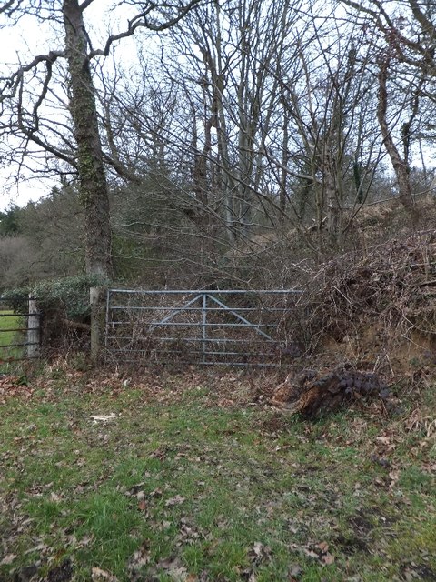
Adjacent to the downs lies the moorland of Castle Down, an expansive landscape covered in heather, gorse, and moss. It is a place of tranquility, with its vast stretches of open space offering a sense of serenity and solitude. The moorland is also home to numerous walking trails, allowing visitors to explore the area and appreciate its natural wonders.
Adding to the charm of Castle Down is the presence of castle ruins, remnants of an ancient fortification that once stood proudly on the hilltop. These ruins serve as a reminder of the region's rich history and provide a glimpse into the past. Visitors can explore the castle's remains, marvel at its architecture, and imagine the stories of the people who once inhabited it.
Overall, Castle Down in Devon is a captivating destination that combines the beauty of downs and moorland with the intrigue of historical ruins, making it a must-visit location for nature lovers and history enthusiasts alike.
If you have any feedback on the listing, please let us know in the comments section below.
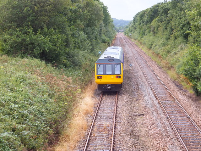
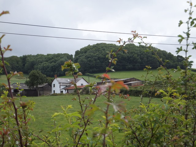
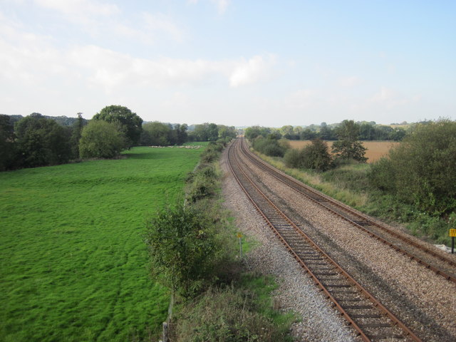
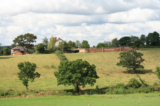
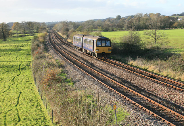
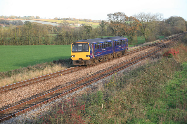
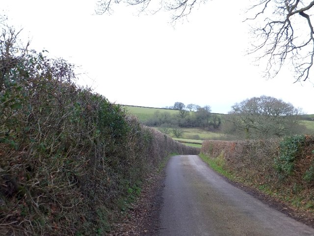
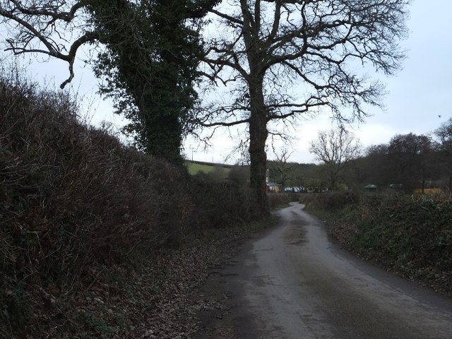
Castle Down Images
Images are sourced within 2km of 50.761991/-3.6904962 or Grid Reference SX8097. Thanks to Geograph Open Source API. All images are credited.

Castle Down is located at Grid Ref: SX8097 (Lat: 50.761991, Lng: -3.6904962)
Administrative County: Devon
District: Mid Devon
Police Authority: Devon and Cornwall
What 3 Words
///wolves.paths.order. Near Crediton, Devon
Nearby Locations
Related Wikis

Posbury
Posbury is an ancient estate in Devon, now a hamlet, situated about 2 miles south-west of Crediton and 2 miles north of Tedburn St Mary and 1 mile west...

Crediton Hamlets
Crediton Hamlets is a civil parish in Mid Devon in the English county of Devon. It has a population of 1,307. == References ==

Yeoford
Yeoford () is a village near the town of Crediton in Devon, England. It is served by Yeoford railway station on the Exeter to Barnstaple railway line,...

River Yeo (tributary of the Creedy)
The River Yeo is a tributary to the River Creedy. It is located in Devon, England, and its headwaters float within two miles of a different River Yeo,...

Yeoford railway station
Yeoford railway station is a rural station serving the village of Yeoford in Devon, England. It is on the Tarka Line to Barnstaple, 11 miles 42 chains...

Tedburn St Mary
Tedburn St Mary is a village and civil parish in the Teignbridge district of Devon, England, approximately 8 miles west of Exeter. It has a population...
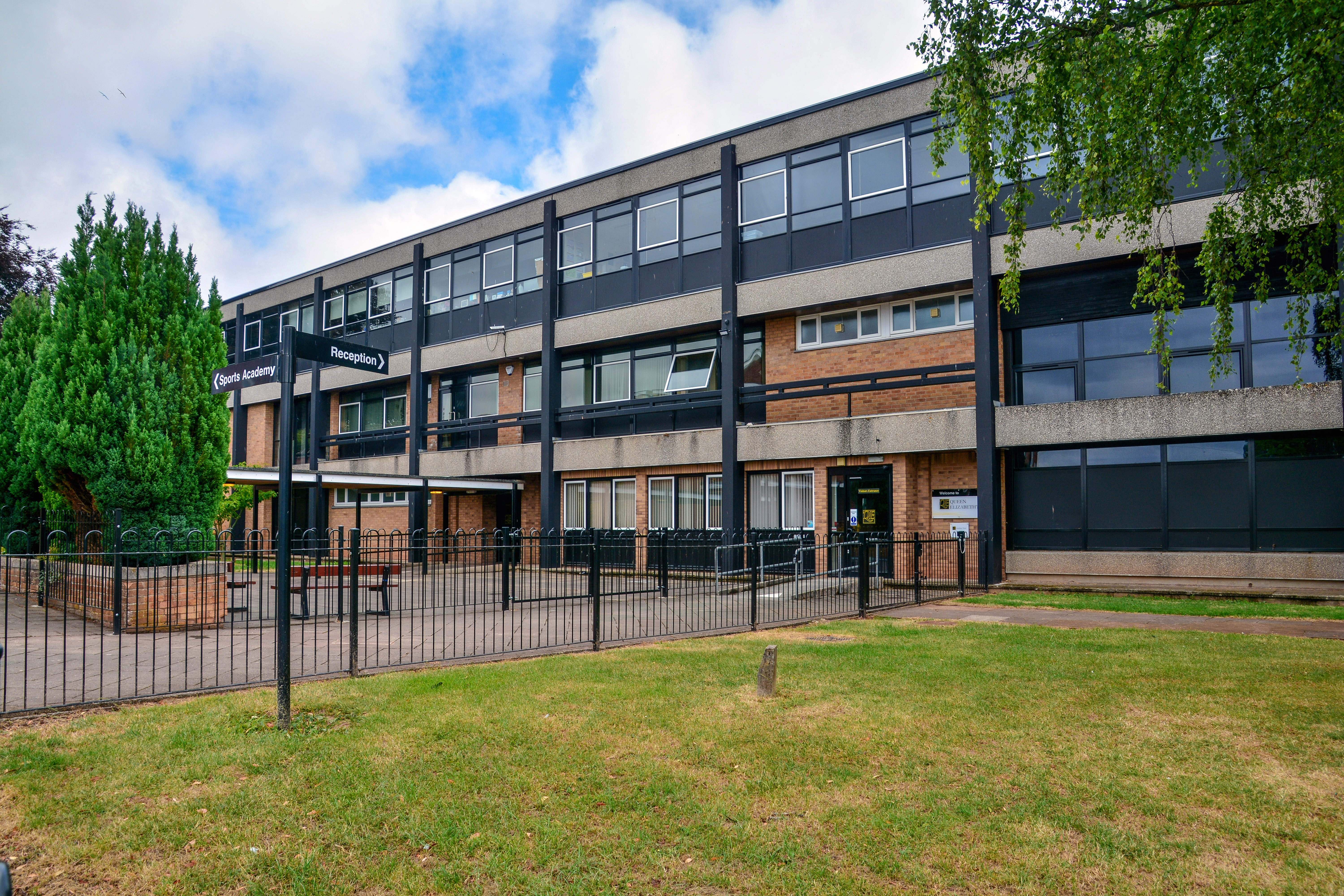
Queen Elizabeth's Grammar School, Crediton
The former Queen Elizabeth's Grammar School in Crediton, Devon, England was founded (as The Kyng's Newe Gramer Scole of Credyton) in 1547 by Edward VI...

Queen Elizabeth's School, Crediton
Queen Elizabeth's School is an academy school, with a sixth-form, in Crediton, Devon. It has 1300 students. It was formed as a comprehensive school in...
Nearby Amenities
Located within 500m of 50.761991,-3.6904962Have you been to Castle Down?
Leave your review of Castle Down below (or comments, questions and feedback).