Western Hill Copse

Wood, Forest in Devon Mid Devon

England

Western Hill Copse

Moor Farm
Moor Farm Credit: Roger Cornfoot

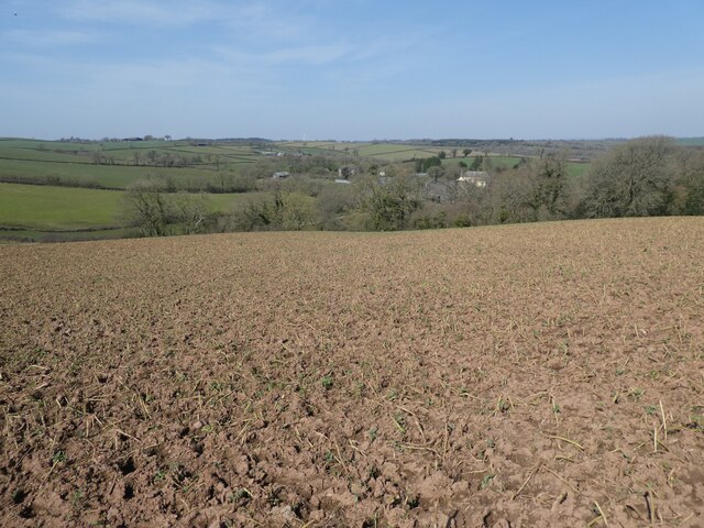
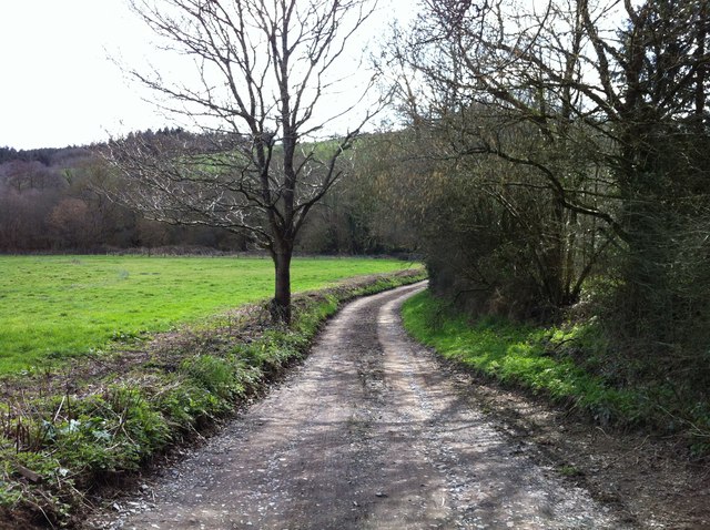
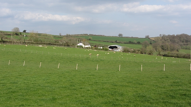
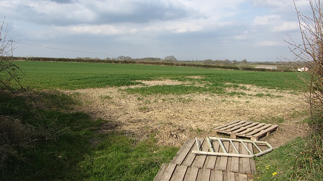
Western Hill Copse is a picturesque woodland located in Devon, England. It spans an area of approximately 50 acres and is renowned for its natural beauty and diverse ecosystem. The copse is situated on the western slope of a hill, which provides stunning panoramic views of the surrounding countryside.

The woodland is predominantly made up of native deciduous trees, such as oak, beech, and ash, giving it a rich and vibrant appearance throughout the year. The thick foliage provides a haven for a wide range of wildlife, including various bird species, mammals, and insects.

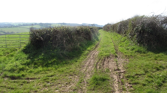
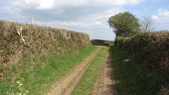
Walking through Western Hill Copse, visitors are greeted with a tranquil atmosphere and a sense of serenity. The forest floor is covered in a lush carpet of moss, ferns, and wildflowers, adding to the enchanting ambiance of the woodland. The air is filled with the sweet scent of wildflowers and the gentle rustling of leaves in the breeze.

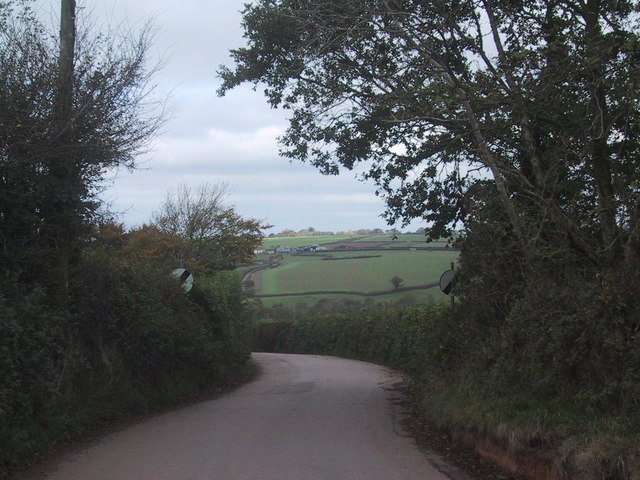
The copse is crisscrossed with a network of well-maintained footpaths, allowing visitors to explore the area and discover its hidden treasures. These paths lead to secluded clearings, babbling brooks, and even a small pond, providing ample opportunities for peaceful picnics, wildlife observation, and photography.

Western Hill Copse is a popular destination for nature lovers, hikers, and families seeking a tranquil escape from the hustle and bustle of everyday life. Its natural beauty and diverse ecosystem make it a haven for both wildlife and humans alike.

If you have any feedback on the listing, please let us know in the comments section below.

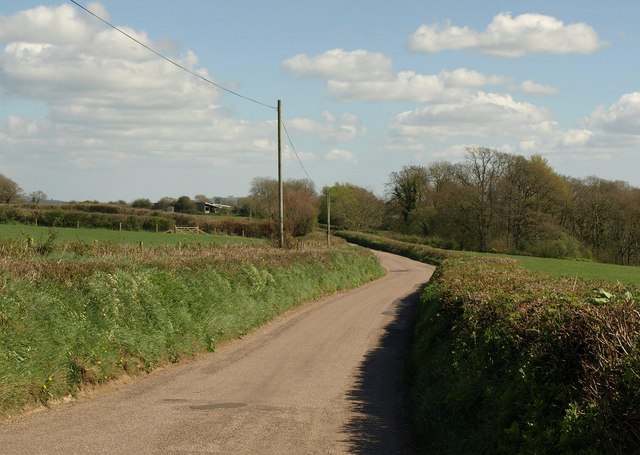
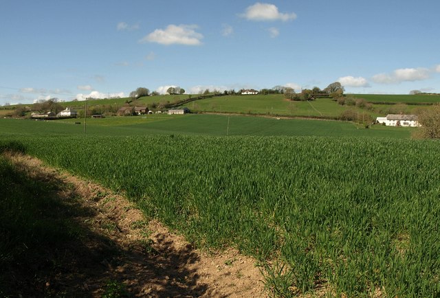
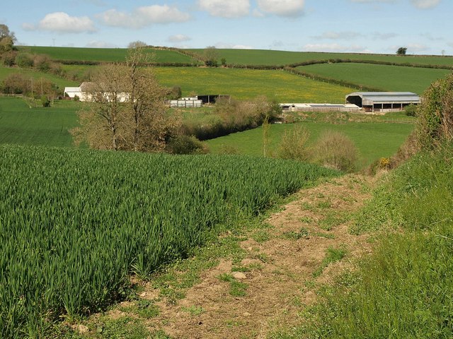
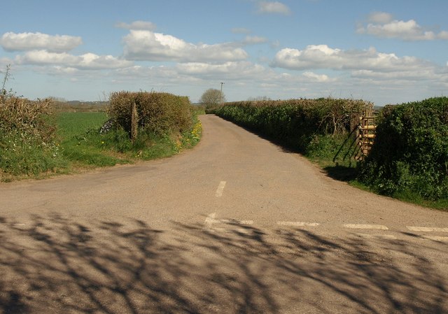
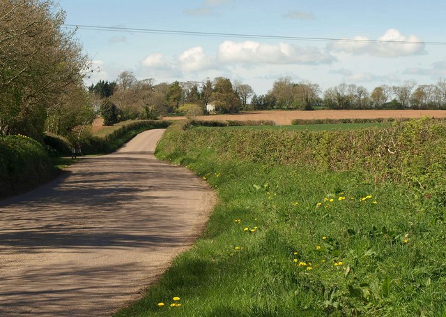
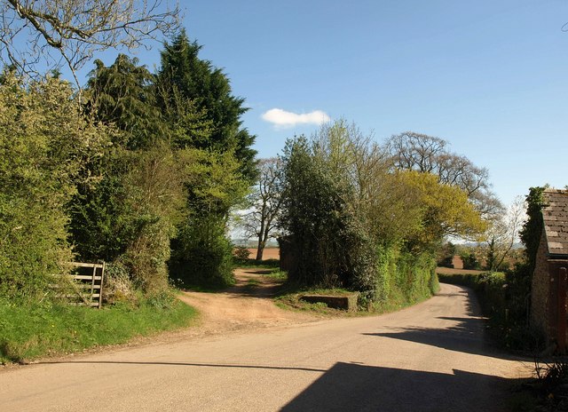
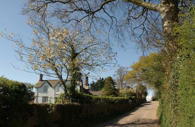
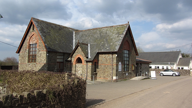
Western Hill Copse Images

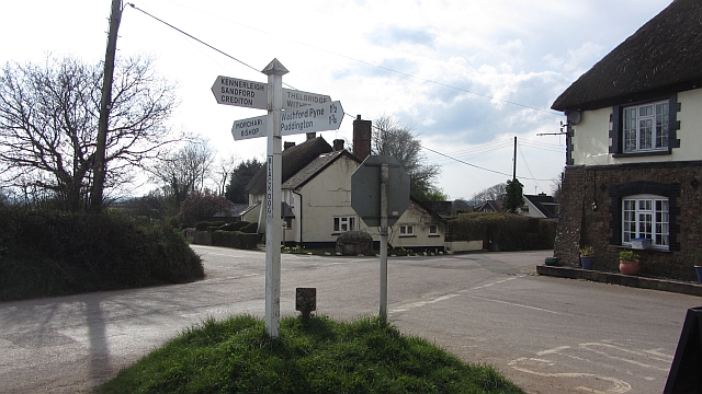
Images are sourced within 2km of 50.863113/-3.7119857 or Grid Reference SS7908. Thanks to Geograph Open Source API. All images are credited.

Moor Farm
Moor Farm
Road leaving Black Dog
Barn at South Emlett
Tridley Foot Cross The signpost at the junction beside <a href="https://www.geograph.org.uk/photo/218815">SS8109 : Woolfardisworthy: by Tridley Foot Cross</a>; more fine Devon placenames, althouth the best, Woolfardisworthy, is hard to read.
Tridley Foot Cross
The signpost at the junction beside SS8109 : Woolfardisworthy: by Tridley Foot Cross; more fine Devon placenames, althouth the best, Woolfardisworthy, is hard to read.
Road to Kennerleigh Seen from close to the crossing of Fir Lane. On the right is Broomlake Coppice.
Road to Kennerleigh
Seen from close to the crossing of Fir Lane. On the right is Broomlake Coppice.
Towards Tridley Foot Across a cereal field where Woolfardisworthy Footpath 34 leaves the road shown in <a href="https://www.geograph.org.uk/photo/2368324">SS8108 : Road to Kennerleigh</a>. On the right is Moor Farm.
Towards Tridley Foot
Across a cereal field where Woolfardisworthy Footpath 34 leaves the road shown in SS8108 : Road to Kennerleigh. On the right is Moor Farm.
Moor Farm The farm shown in <a href="https://www.geograph.org.uk/photo/218812">SS8108 : Woolfardisworthy: towards Moor Farm</a> from a different angle, from the same spot as <a href="https://www.geograph.org.uk/photo/2368361">SS8108 : Woods west of Woolfardisworthy</a>.
Moor Farm
The farm shown in SS8108 : Woolfardisworthy: towards Moor Farm from a different angle, from the same spot as SS8108 : Woods west of Woolfardisworthy.
Lane to Woolfardisworthy The junction whose signpost is shown in <a href="https://www.geograph.org.uk/photo/2366411">SS8109 : Tridley Foot Cross</a>, with the trees around the signpost casting shadows across the road linking Black Dog and Kennerleigh.
Lane to Woolfardisworthy
The junction whose signpost is shown in SS8109 : Tridley Foot Cross, with the trees around the signpost casting shadows across the road linking Black Dog and Kennerleigh.
Road to Black Dog Seen from the junction shown in <a href="https://www.geograph.org.uk/photo/2368412">SS8109 : Lane to Woolfardisworthy</a>. A wide verge in the foreground.
Road to Black Dog
Seen from the junction shown in SS8109 : Lane to Woolfardisworthy. A wide verge in the foreground.
Road at Tree Tracks leave the road to Kennerleigh opposite the house at Tree.
Road at Tree
Tracks leave the road to Kennerleigh opposite the house at Tree.
Road past Tree A reverse view of the scene in <a href="https://www.geograph.org.uk/photo/2368449">SS8009 : Road at Tree</a>, with the farmhouse at Tree on the left, and the lane climbing towards Black Dog.
Road past Tree
A reverse view of the scene in SS8009 : Road at Tree, with the farmhouse at Tree on the left, and the lane climbing towards Black Dog.
Swannaton Lane Swannaton Lane, just south of the junction with Stone Ash Lane.  The road has a hard surface here, for the benefit of private use to Scotland.
Swannaton Lane
Swannaton Lane, just south of the junction with Stone Ash Lane. The road has a hard surface here, for the benefit of private use to Scotland.
Hele Lane Methodist Church Chapel at Black Dog, the building looks like an 1870s school.
Hele Lane Methodist Church
Chapel at Black Dog, the building looks like an 1870s school.
Grassland off Tridley Foot  Hill The descent from the 200m plateau at Black Dog.
Grassland off Tridley Foot Hill
The descent from the 200m plateau at Black Dog.
Green Lane, Emlett This green lane links Tridley Foot Lane with West Emlett.
Green Lane, Emlett
This green lane links Tridley Foot Lane with West Emlett.
Green Lane, Emlett The Tridley Foot Lane end of the green lane from West Emlett.
Green Lane, Emlett
The Tridley Foot Lane end of the green lane from West Emlett.
Crossroads, Black Dog The pub is on the right.
Crossroads, Black Dog
The pub is on the right.
Field, Little Tridley Pallets and dried mud remain from a wetter period. The following Summer was also very wet.
Field, Little Tridley
Pallets and dried mud remain from a wetter period. The following Summer was also very wet.
Show me another place!

Western Hill Copse is located at Grid Ref: SS7908 (Lat: 50.863113, Lng: -3.7119857)

Administrative County: Devon

District: Mid Devon

Police Authority: Devon and Cornwall

What 3 Words

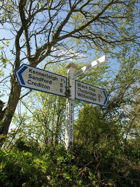
///cuddling.readings.senders. Near Morchard Bishop, Devon

Related Wikis

Berry Castle, Black Dog

Berry Castle is an earthwork probably dating to the Iron Age close to Black Dog in Devon north of Crediton and west of Tiverton. It does not fit the traditional...

Black Dog, Devon

Black Dog is a village in Mid Devon, ten miles west of Tiverton and six miles north of Crediton. The village is on one of the highest ridges of land between...

Kennerleigh

Kennerleigh is a village and civil parish in Devon, England.The church is dedicated to St John the Baptist, which underwent significant restoration around...

Morchard Bishop

Morchard Bishop is a village and civil parish in Mid Devon in the English county of Devon. It has a population of 975, and contains a primary school, two...

Nearby Amenities

Located within 500m of 50.863113,-3.7119857
Poles: bipole
Power: pole
Source: bing
Transformer: distribution
Lat/Long: 50.8640335/-3.7050305
The data included in this document is from www.openstreetmap.org. The data is made available under ODbL.

Have you been to Western Hill Copse?

Leave your review of Western Hill Copse below (or comments, questions and feedback).