Tinhill Copse
Wood, Forest in Devon Teignbridge
England
Tinhill Copse
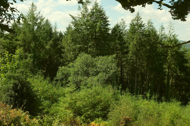
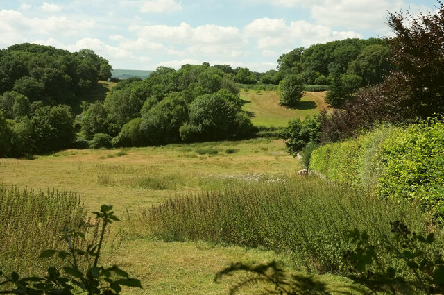
Tinhill Copse is a picturesque woodland located in the heart of Devon, England. Covering an area of approximately 50 acres, this enchanting forest is nestled within the rolling hills of the Devonshire countryside. The copse is known for its diverse range of trees, including oak, beech, and birch, creating a rich tapestry of colors throughout the seasons.
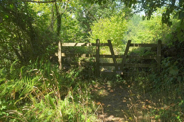
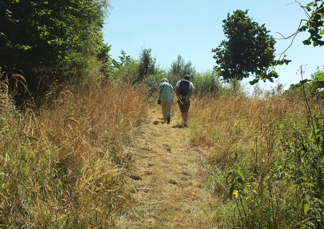
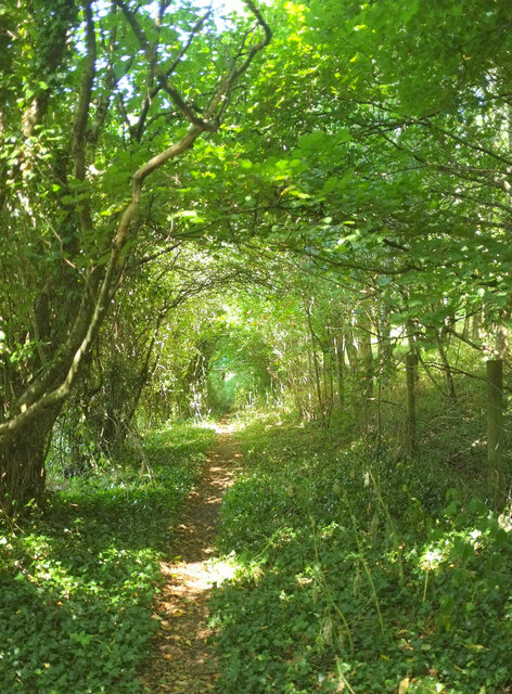
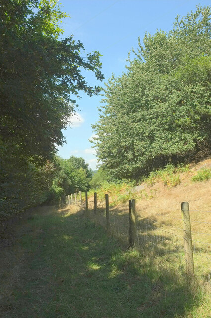
The woodland is crisscrossed by a network of well-maintained footpaths, allowing visitors to explore its beauty at their leisure. These paths meander through the copse, providing glimpses of the vibrant undergrowth and offering opportunities to spot a variety of wildlife, such as deer, squirrels, and a myriad of bird species.
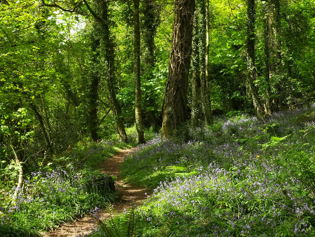
Tinhill Copse is particularly renowned for its springtime display of bluebells, where the forest floor is transformed into a sea of delicate purple flowers. This annual spectacle attracts nature enthusiasts and photographers from near and far, eager to capture the magical scene.
The copse also boasts a small stream that meanders through its heart, adding to the tranquil ambiance of the woodland. The sound of water trickling over rocks provides a soothing soundtrack to any visit.
Tinhill Copse is a popular destination for walkers, joggers, and families seeking a peaceful escape from the bustle of everyday life. Whether it's a leisurely stroll, a picnic by the stream, or an exploration of the forest's hidden corners, this Devon woodland offers a slice of nature's beauty to all who venture within its boundaries.
If you have any feedback on the listing, please let us know in the comments section below.
Tinhill Copse Images
Images are sourced within 2km of 50.625885/-3.7033389 or Grid Reference SX7982. Thanks to Geograph Open Source API. All images are credited.


Tinhill Copse is located at Grid Ref: SX7982 (Lat: 50.625885, Lng: -3.7033389)
Administrative County: Devon
District: Teignbridge
Police Authority: Devon and Cornwall
What 3 Words
///consoled.tripods.pretty. Near Bovey Tracey, Devon
Nearby Locations
Related Wikis
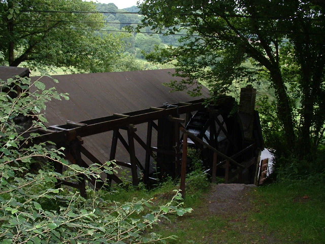
Kelly Mine, Devon
Kelly Mine is a disused metalliferous mine situated on the eastern flank of Dartmoor near the village of Lustleigh in Devon, England. It was intermittently...

Lustleigh railway station
Lustleigh station was on the Moretonhampstead and South Devon Railway serving the village of Lustleigh, Devon, England. Lustleigh was the penultimate station...
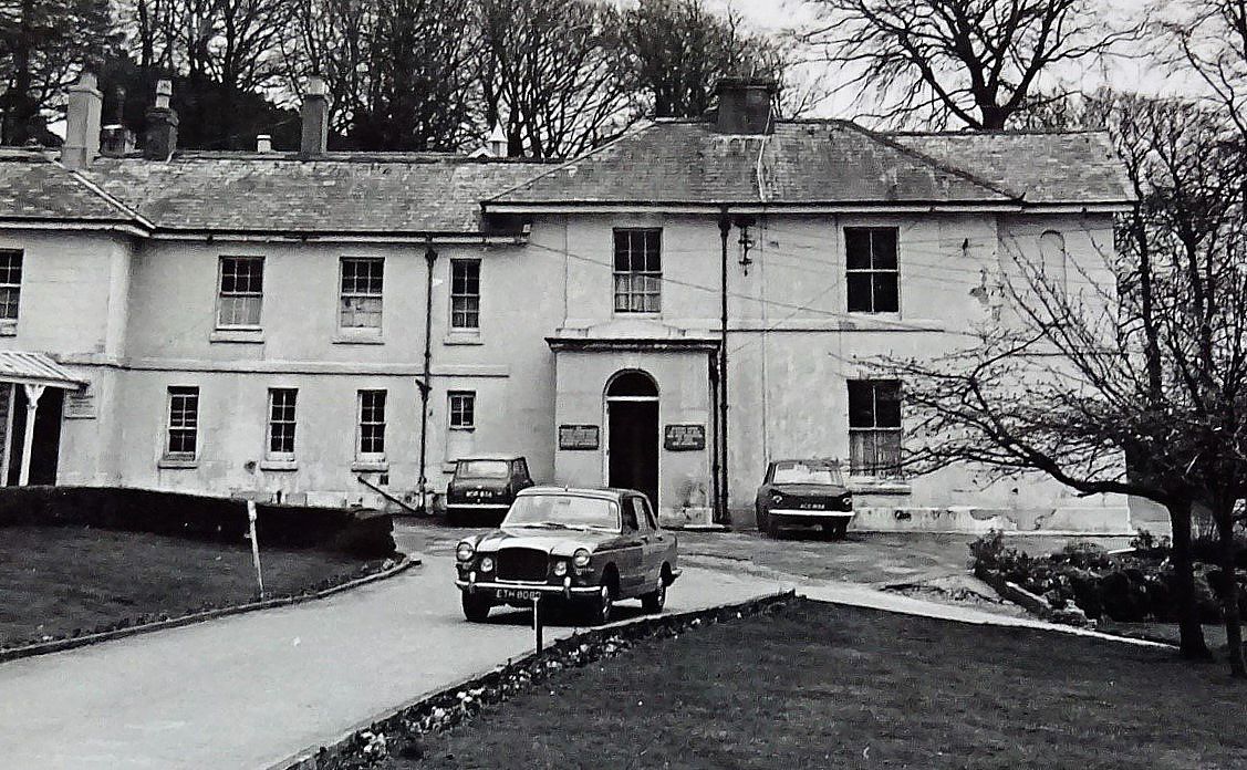
Hawkmoor Hospital
Hawkmoor Hospital, originally known as Hawkmoor County Sanatorium, was a specialist hospital near Bovey Tracey in Devon, England, founded in 1913 as a...
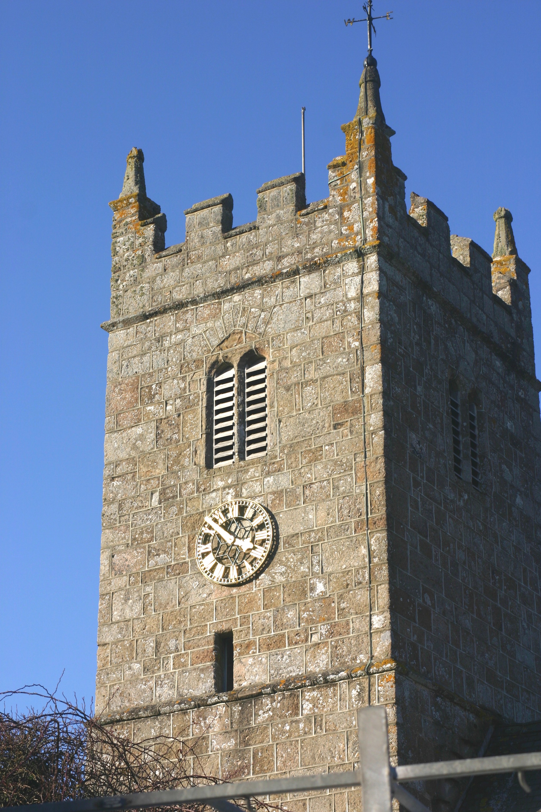
Church of St John the Baptist, Lustleigh
The Church of St John the Baptist is the Church of England parish church of the village of Lustleigh, Devon, located in the centre of the village. ��2...
Nearby Amenities
Located within 500m of 50.625885,-3.7033389Have you been to Tinhill Copse?
Leave your review of Tinhill Copse below (or comments, questions and feedback).