Higher Gosland Copse
Wood, Forest in Devon Mid Devon
England
Higher Gosland Copse
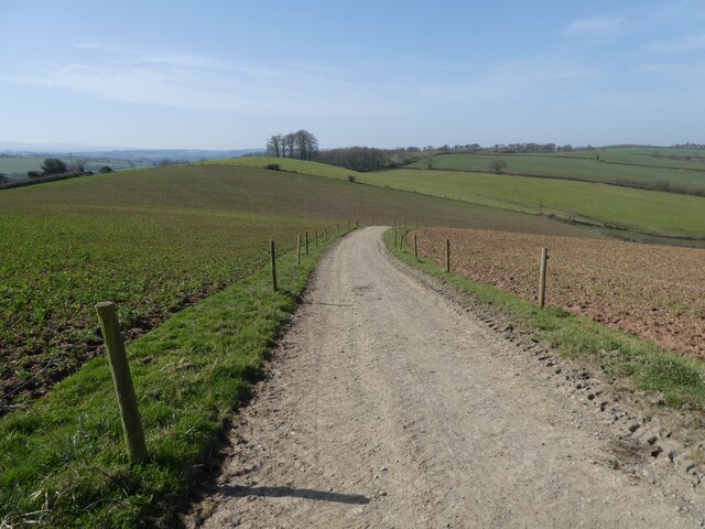
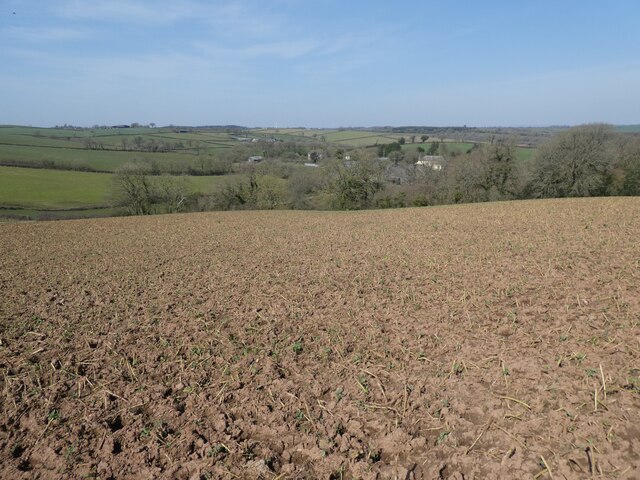
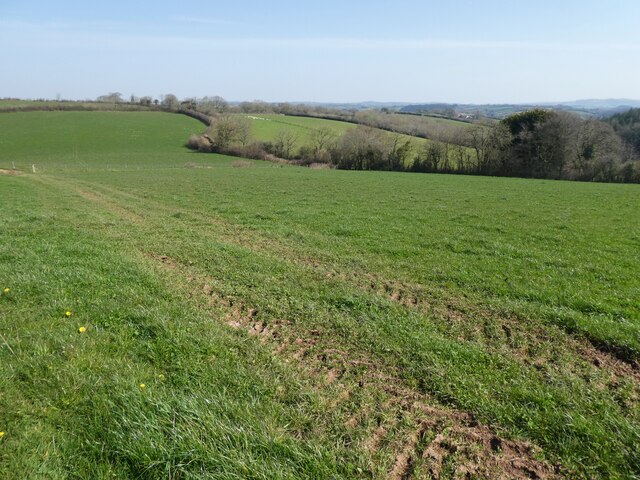
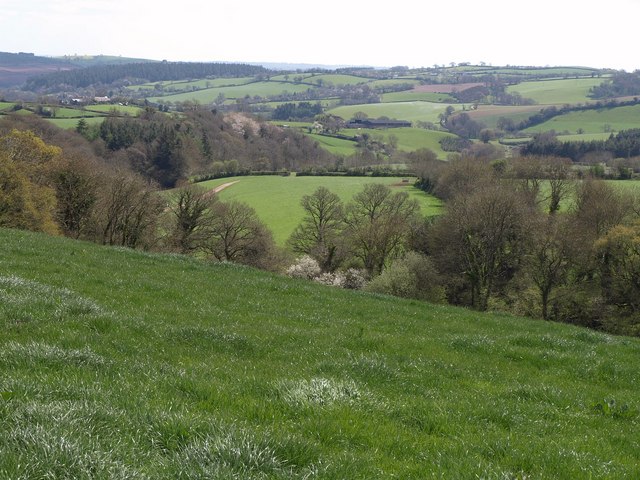
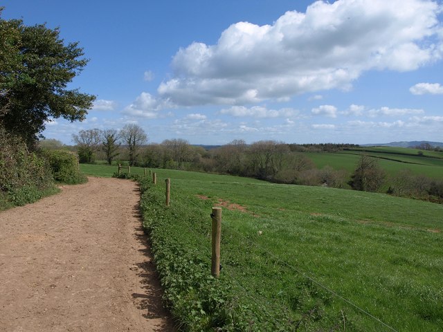
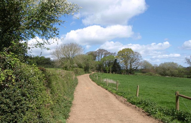
Higher Gosland Copse is a picturesque woodland located in Devon, England. Covering an area of approximately 50 acres, the copse is nestled within the stunning countryside, offering visitors a tranquil and serene environment.
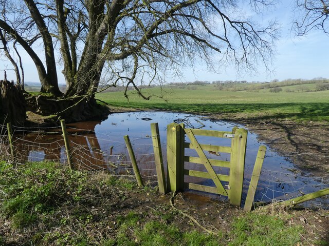
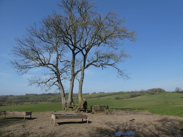
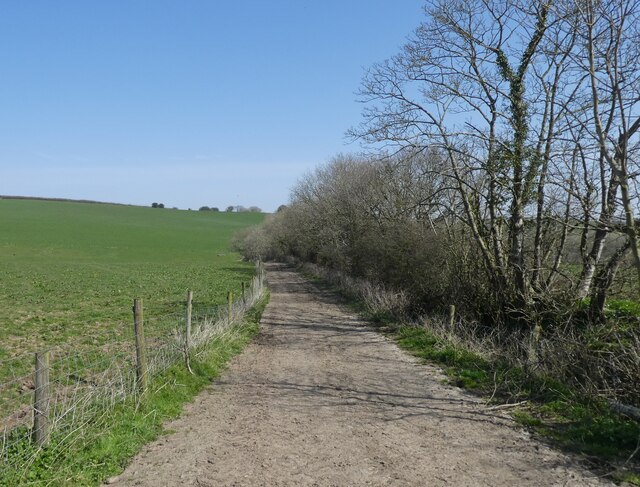
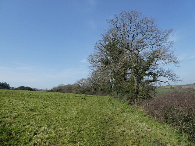
The copse is predominantly made up of a diverse range of deciduous trees, including oak, beech, and ash. These majestic trees provide a dense canopy, creating a shaded and cool atmosphere beneath. The woodland floor is adorned with a rich carpet of mosses, ferns, and wildflowers, adding to the copse's natural beauty and biodiversity.
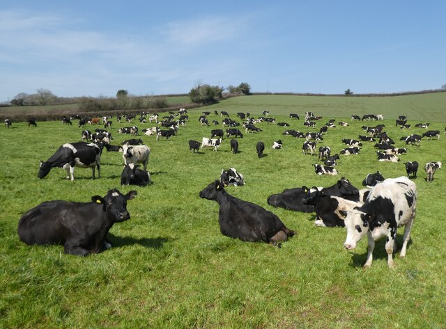
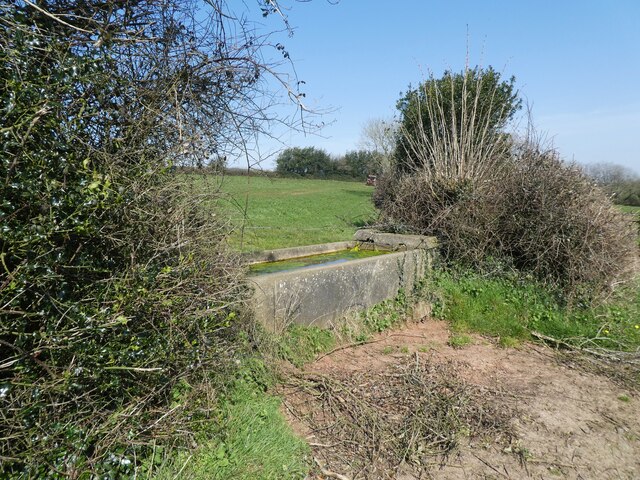
The copse is home to a variety of wildlife, including birds, mammals, and insects. Visitors may be fortunate enough to spot a range of bird species, such as woodpeckers, thrushes, and owls, as they flit between the branches. Squirrels can often be seen scurrying along the treetops, while badgers and foxes may occasionally make an appearance.
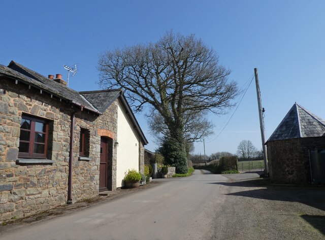
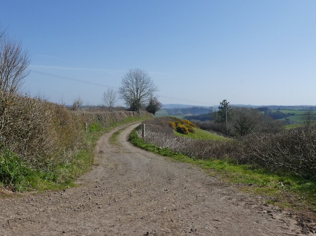
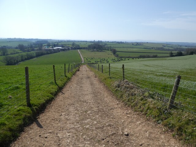
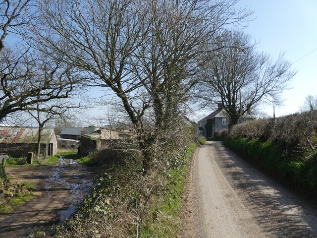
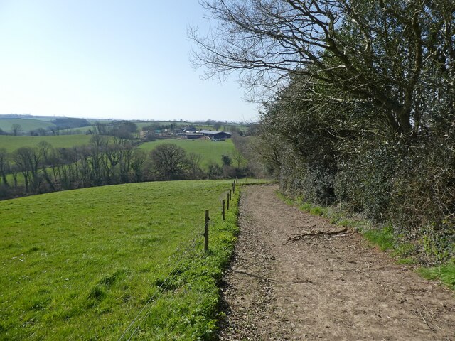
Higher Gosland Copse offers a network of well-maintained footpaths, allowing visitors to explore the woodland at their own pace. The paths meander through the trees, providing glimpses of sunlight filtering through the leaves, creating a magical and enchanting atmosphere.
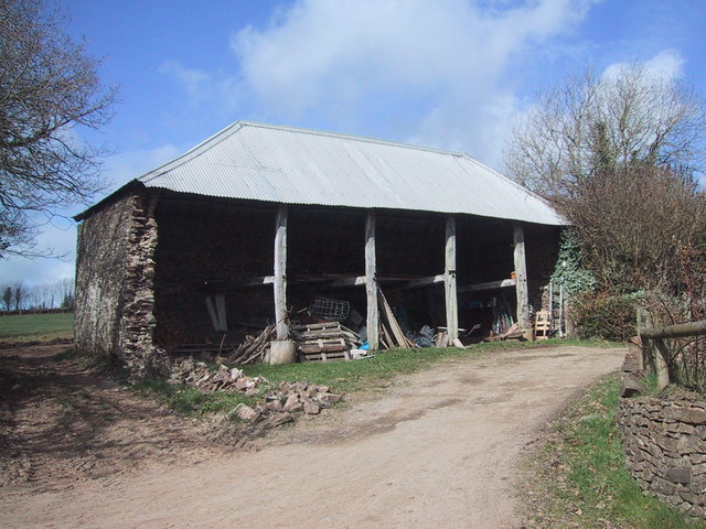
The copse is a popular destination for nature enthusiasts, walkers, and photographers, who are drawn to its natural beauty and tranquility. It offers a peaceful retreat away from the hustle and bustle of everyday life, providing an opportunity to reconnect with nature and enjoy the soothing sounds of the woodland.
In conclusion, Higher Gosland Copse in Devon is a charming woodland that showcases the beauty of nature. With its diverse range of trees, rich wildlife, and peaceful atmosphere, it is a haven for those seeking solace in the great outdoors.
If you have any feedback on the listing, please let us know in the comments section below.
Higher Gosland Copse Images
Images are sourced within 2km of 50.849323/-3.7115659 or Grid Reference SS7906. Thanks to Geograph Open Source API. All images are credited.
Higher Gosland Copse is located at Grid Ref: SS7906 (Lat: 50.849323, Lng: -3.7115659)
Administrative County: Devon
District: Mid Devon
Police Authority: Devon and Cornwall
What 3 Words
///student.conspire.dressy. Near Morchard Bishop, Devon
Nearby Locations
Related Wikis

Berry Castle, Black Dog
Berry Castle is an earthwork probably dating to the Iron Age close to Black Dog in Devon north of Crediton and west of Tiverton. It does not fit the traditional...

Oldborough
Oldborough is a village in Devon, England. It is near the village of Morchard Bishop. Oldborough has a population of just under 1,000 people. The only...

Kennerleigh
Kennerleigh is a village and civil parish in Devon, England.The church is dedicated to St John the Baptist, which underwent significant restoration around...
Fordy Wood Copse
Fordy Wood Copse is a woodland in Devon, England, near Sandford. It covers a total area of 0.64 hectares (1.58 acres) and overlooks the River Creedy. It...

Morchard Bishop
Morchard Bishop is a village and civil parish in Mid Devon in the English county of Devon. It has a population of 975, and contains a primary school, two...

Black Dog, Devon
Black Dog is a village in Mid Devon, ten miles west of Tiverton and six miles north of Crediton. The village is on one of the highest ridges of land between...

Woolfardisworthy, Mid Devon
Woolfardisworthy (pronounced "Woolsery") is a village and civil parish in Mid Devon. It is situated about 5 miles (9 km) north of Crediton. According to...
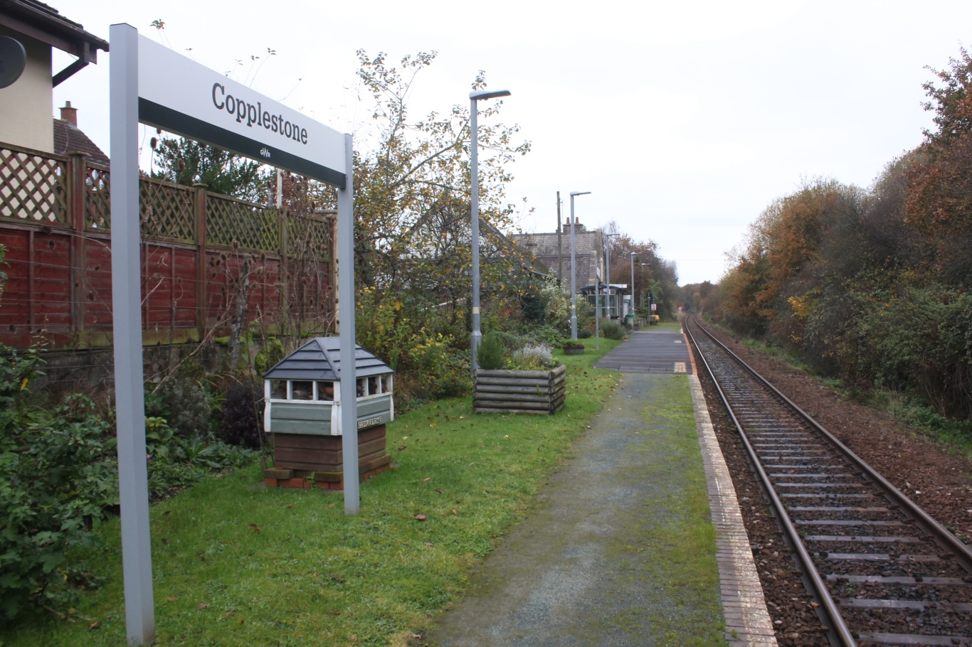
Copplestone railway station
Copplestone railway station is on the Tarka Line serving the village of Copplestone in Devon, England. It is on the Tarka Line to Barnstaple, 14 miles...
Nearby Amenities
Located within 500m of 50.849323,-3.7115659Have you been to Higher Gosland Copse?
Leave your review of Higher Gosland Copse below (or comments, questions and feedback).