Skelland Wood
Wood, Forest in Devon Mid Devon
England
Skelland Wood
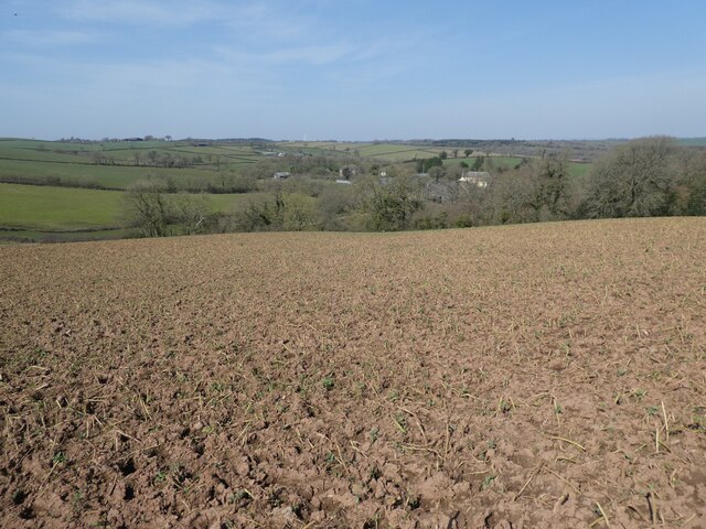
Skelland Wood is a picturesque forest located in the county of Devon, England. Situated in the southwestern part of the country, it covers an area of approximately 100 hectares, making it a significant woodland in the region. The wood is nestled within the beautiful countryside, surrounded by rolling hills and meandering streams, providing a tranquil and serene environment for visitors.
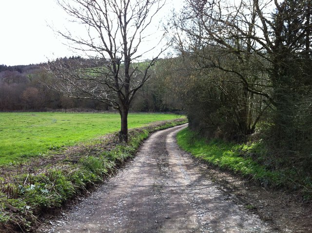
The forest is predominantly composed of deciduous trees, including oak, beech, and ash, which create a vibrant and colorful canopy during the autumn months. The diverse range of flora and fauna found in Skelland Wood makes it an important habitat for wildlife, with sightings of various bird species, mammals, and insects being common.
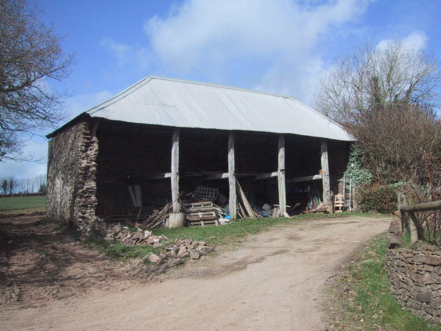
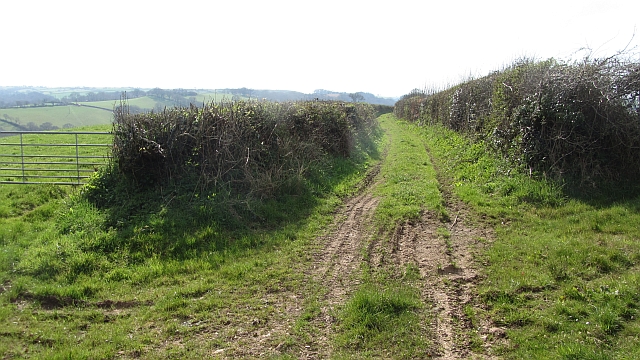
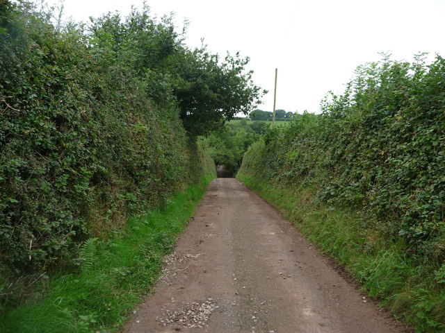
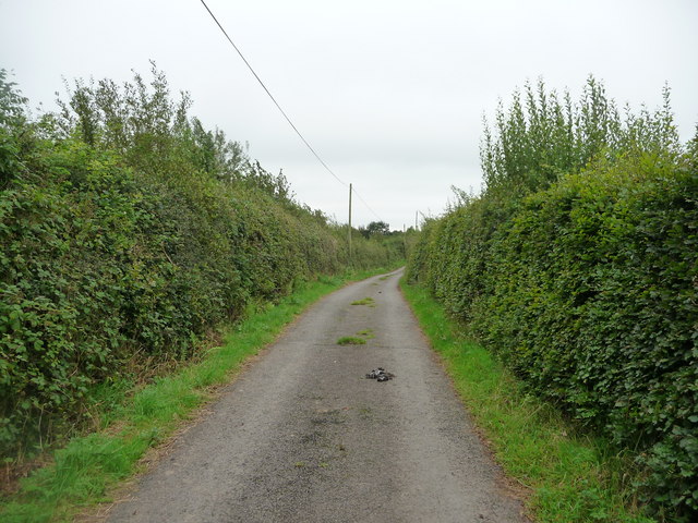
Nature enthusiasts and hikers are drawn to Skelland Wood for its well-maintained footpaths and trails that wind through the forest. These pathways offer visitors the opportunity to explore the woodland at their own pace, admiring the natural beauty that surrounds them. Additionally, the wood provides a peaceful setting for leisurely strolls, picnics, and family outings.
Skelland Wood is also steeped in history, with archaeological evidence suggesting human activity in the area dating back thousands of years. Ancient earthworks and remnants of old settlements can still be found within the woodland, adding an extra layer of intrigue for those interested in the region's past.
Overall, Skelland Wood is a captivating and enchanting forest in Devon, offering visitors a chance to immerse themselves in nature, discover its rich biodiversity, and enjoy the tranquility that the wood provides.
If you have any feedback on the listing, please let us know in the comments section below.
Skelland Wood Images
Images are sourced within 2km of 50.85984/-3.7199082 or Grid Reference SS7908. Thanks to Geograph Open Source API. All images are credited.


Skelland Wood is located at Grid Ref: SS7908 (Lat: 50.85984, Lng: -3.7199082)
Administrative County: Devon
District: Mid Devon
Police Authority: Devon and Cornwall
What 3 Words
///outnumber.darts.lifts. Near Morchard Bishop, Devon
Related Wikis

Berry Castle, Black Dog
Berry Castle is an earthwork probably dating to the Iron Age close to Black Dog in Devon north of Crediton and west of Tiverton. It does not fit the traditional...

Black Dog, Devon
Black Dog is a village in Mid Devon, ten miles west of Tiverton and six miles north of Crediton. The village is on one of the highest ridges of land between...

Morchard Bishop
Morchard Bishop is a village and civil parish in Mid Devon in the English county of Devon. It has a population of 975, and contains a primary school, two...

Oldborough
Oldborough is a village in Devon, England. It is near the village of Morchard Bishop. Oldborough has a population of just under 1,000 people. The only...
Nearby Amenities
Located within 500m of 50.85984,-3.7199082Have you been to Skelland Wood?
Leave your review of Skelland Wood below (or comments, questions and feedback).