Southern Wood

Wood, Forest in Devon North Devon

England

Southern Wood

North Devon : Pebble Beach Around 30 or so minutes after a low spring tide on a square which is soon to go underwater. Had to step on the few remaining rocks to remain dry to get here.
North Devon : Pebble Beach Credit: Lewis Clarke

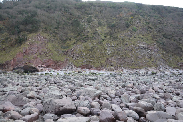
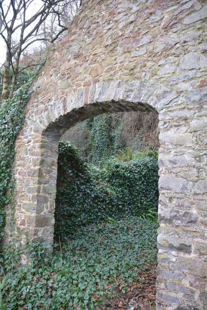
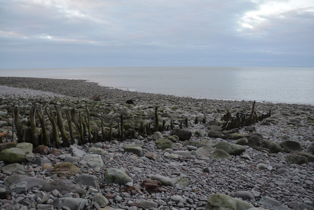
Southern Wood, Devon, is a picturesque forest located in the southern part of Devon, England. Known for its stunning natural beauty and diverse wildlife, this woodland area covers a vast expanse of approximately 500 acres. It is a popular destination for nature lovers, hikers, and outdoor enthusiasts.

The forest is characterized by its dense canopy of trees, primarily consisting of oak, beech, and birch. The towering trees create a serene and tranquil atmosphere, providing shade and shelter to the various inhabitants of the woodland. The forest floor is covered with a rich carpet of moss, ferns, and wildflowers, adding to the enchanting ambiance.

Southern Wood is home to a wide array of wildlife, including deer, foxes, badgers, and a variety of bird species. Nature enthusiasts can often spot these animals in their natural habitat, making it an excellent location for wildlife photography and observation.

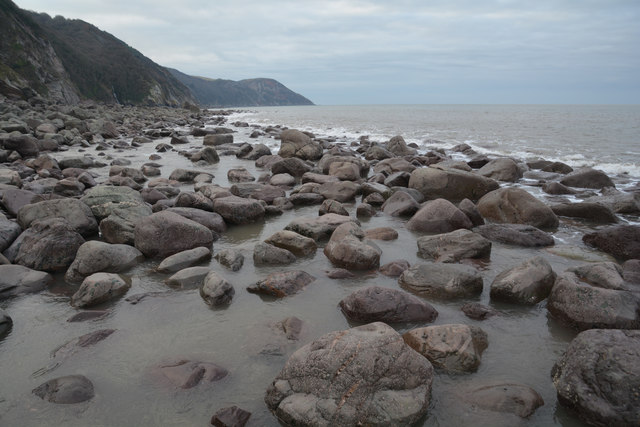
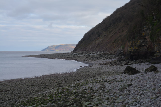
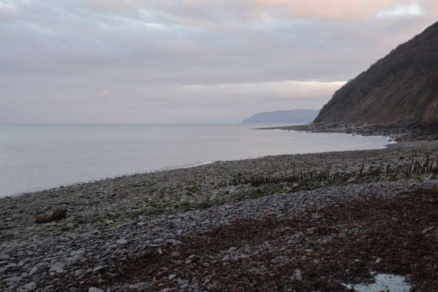
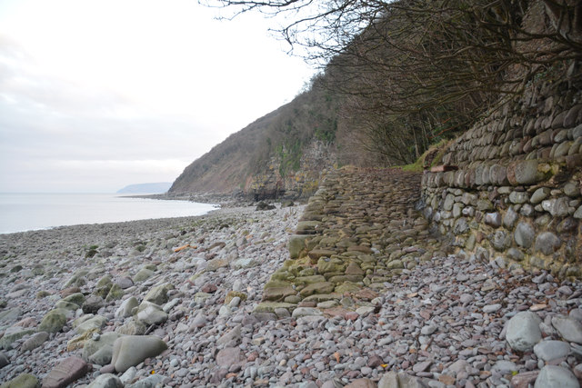
Several well-marked trails and footpaths crisscross the forest, offering visitors the opportunity to explore its beauty. These trails range in difficulty, catering to both casual walkers and experienced hikers. Along the way, visitors can enjoy breathtaking views, secluded picnic spots, and the peaceful sounds of nature.

Southern Wood, Devon, is not only a haven for nature lovers but also plays a vital role in maintaining the ecological balance of the region. Its preservation is essential for the conservation of biodiversity and the protection of Devon's natural heritage.

If you have any feedback on the listing, please let us know in the comments section below.

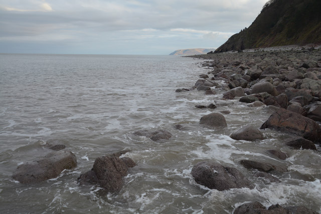
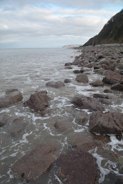
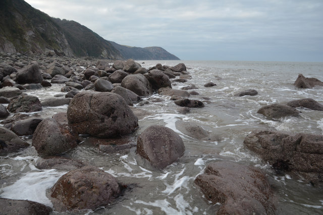
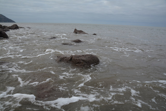
Southern Wood Images

Images are sourced within 2km of 51.219807/-3.7342671 or Grid Reference SS7848. Thanks to Geograph Open Source API. All images are credited.

North Devon : Pebble Beach Around 30 or so minutes after a low spring tide on a square which is soon to go underwater. Had to step on the few remaining rocks to remain dry to get here.
North Devon : Pebble Beach
Around 30 or so minutes after a low spring tide on a square which is soon to go underwater. Had to step on the few remaining rocks to remain dry to get here.
North Devon : Pebble Beach Looking back along the pebble beach towards the cliff.
North Devon : Pebble Beach
Looking back along the pebble beach towards the cliff.
North Devon : Pebble Beach Looking along the pebble coastline at low tide.
North Devon : Pebble Beach
Looking along the pebble coastline at low tide.
North Devon : Pebble Beach Looking out to the Bristol Channel from the pebble coastline.
North Devon : Pebble Beach
Looking out to the Bristol Channel from the pebble coastline.
North Devon : Pebble Beach Looking towards waves crashing on the shore.
North Devon : Pebble Beach
Looking towards waves crashing on the shore.
Somerset border sign on the A39 east
East Lyn river valley from County Gate
Left to Robbers Bridge; Right to Malmsmead
This way to Robbers Bridge
West Somerset : Limekiln The building is listed - <span class="nowrap"><a title="https://historicengland.org.uk/listing/the-list/list-entry/1173368" rel="nofollow ugc noopener" href="https://historicengland.org.uk/listing/the-list/list-entry/1173368">Link</a><img style="margin-left:2px;" alt="External link" title="External link - shift click to open in new window" src="https://s1.geograph.org.uk/img/external.png" width="10" height="10"/></span>
West Somerset : Limekiln
The building is listed - LinkExternal link
West Somerset : Glenthorne Beach Looking across the pebble beach and not a soul in sight.
West Somerset : Glenthorne Beach
Looking across the pebble beach and not a soul in sight.
West Somerset : Pebble Beach Looking along the pebble beach as the sun sets for the last time in 2016.
West Somerset : Pebble Beach
Looking along the pebble beach as the sun sets for the last time in 2016.
West Somerset : Pebble Beach A small rocky ramp provides access down to Glenthorne Beach.
West Somerset : Pebble Beach
A small rocky ramp provides access down to Glenthorne Beach.
West Somerset : Glenthorne Beach Looking along the beach which is on the border between Devon and Somerset.
West Somerset : Glenthorne Beach
Looking along the beach which is on the border between Devon and Somerset.
West Somerset : Limekiln The building is listed - <span class="nowrap"><a title="https://historicengland.org.uk/listing/the-list/list-entry/1173368" rel="nofollow ugc noopener" href="https://historicengland.org.uk/listing/the-list/list-entry/1173368">Link</a><img style="margin-left:2px;" alt="External link" title="External link - shift click to open in new window" src="https://s1.geograph.org.uk/img/external.png" width="10" height="10"/></span>
West Somerset : Limekiln
The building is listed - LinkExternal link
Show me another place!

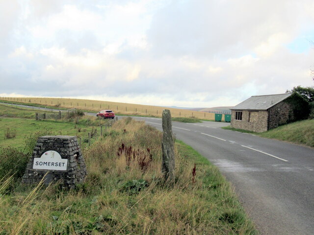
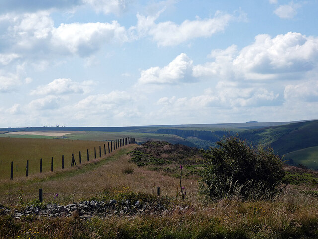
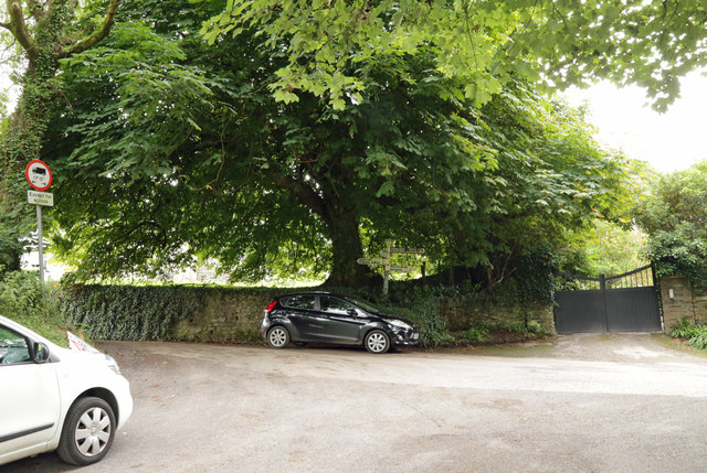
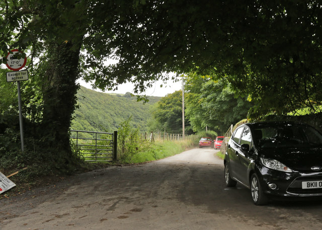
Southern Wood is located at Grid Ref: SS7848 (Lat: 51.219807, Lng: -3.7342671)

Administrative County: Devon

District: North Devon

Police Authority: Devon and Cornwall

What 3 Words

///proofs.obeyed.dentures. Near Lynton, Devon

Nearby Locations

Hall Wood Southern Wood

Related Wikis

Malmsmead

Malmsmead is a hamlet on the border between the English counties of Devon and Somerset. The nearest town is Lynton, which lies approximately 4.7 miles...

Oare Water

Oare Water passes through the village of Oare, on Exmoor in Somerset, England. It joins Badgworthy Water before flowing to Watersmeet and the Bristol Channel...

Badgworthy Water

Badgworthy Water is a small river which flows through Malmsmead on Exmoor, close to the border between Devon and Somerset, England. It merges with Oare...

Malmsmead Bridge

Malmsmead Bridge is a 17th-century stone bridge which crosses Badgworthy Water in the hamlet of Malmsmead, on the road between Oare and Brendon. The Badgworthy...

Nearby Amenities

Located within 500m of 51.219807,-3.7342671
Malmsmead
Is In: Exmoor
Place: hamlet
Wikidata: Q6744392
Lat/Long: 51.2162055/-3.7317317
Bicycle: yes
Foot: yes
Ford: yes
Horse: yes
Motor Vehicle: yes
Lat/Long: 51.2159987/-3.7309544
Cafe
The Buttery
Lat/Long: 51.2162828/-3.7311619
Booth: K6
Removed Amenity: telephone
Lat/Long: 51.2159307/-3.7313467
Post Box
Collection Times: Mo-Fr 16:00; Sa 09:30
Fixme: Check precise location
Post Box Mounting: wall
Post Box Type: wall
Ref: EX35 117
Royal Cypher: GR
Royal Cypher Wikidata: Q33102273
Lat/Long: 51.2160873/-3.7313455
Barrier: kissing_gate
Lat/Long: 51.2213088/-3.7405819
Building: yes
Lat/Long: 51.2202948/-3.7382838
Building: yes
Lat/Long: 51.2197908/-3.7388953
Leisure: picnic_table
Lat/Long: 51.2166087/-3.7302151
Shop: gift
Lat/Long: 51.2161106/-3.731545
Pub
Lorna Doone Inn
Lat/Long: 51.2162037/-3.7313266
Give Way
Direction: forward
Lat/Long: 51.2160189/-3.7318025
The data included in this document is from www.openstreetmap.org. The data is made available under ODbL.

Have you been to Southern Wood?

Leave your review of Southern Wood below (or comments, questions and feedback).