Melhuish Wood

Wood, Forest in Devon Teignbridge

England

Melhuish Wood

The A30 west at Woodleigh Junction
The A30 west at Woodleigh Junction Credit: Roy Hughes

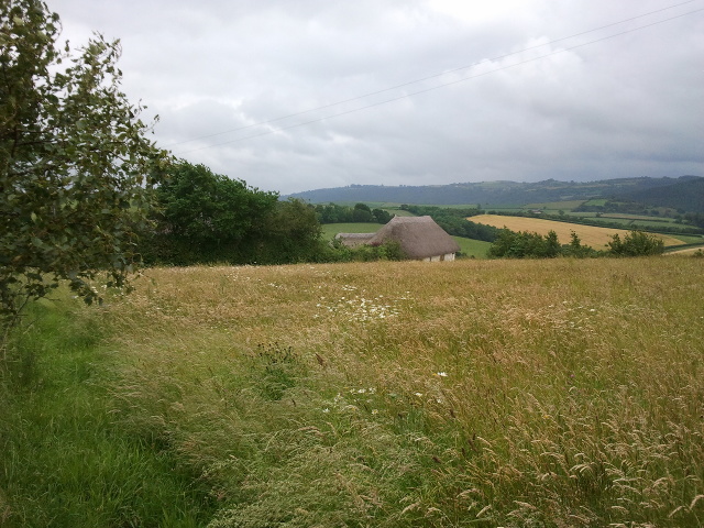
Melhuish Wood is a charming woodland located in Devon, England. Covering an area of approximately 50 acres, this forest is a haven for nature enthusiasts and those seeking tranquility amid the beauty of nature.

The wood is predominantly composed of deciduous trees such as oak, beech, and birch, which create a stunning display of colors during the autumn months. The well-maintained pathways and trails winding through the forest offer visitors an opportunity to explore and immerse themselves in the natural environment.

One of the notable features of Melhuish Wood is its abundant wildlife. The forest provides a habitat for various species of birds, including woodpeckers, owls, and songbirds. Visitors may also catch a glimpse of small mammals like squirrels and rabbits, as well as larger creatures such as deer and foxes.

Throughout the year, Melhuish Wood hosts a range of events and activities for all ages. From guided walks and educational workshops to photography and art exhibitions, there is something to cater to every interest. The annual bluebell display is a highlight, attracting visitors from far and wide who come to witness the breathtaking carpet of blue flowers that cover the forest floor.

Melhuish Wood is easily accessible, with ample parking facilities and well-marked entrances. Whether you are looking for a leisurely stroll, a picnic spot, or a chance to reconnect with nature, this enchanting woodland offers a peaceful retreat for all to enjoy.

If you have any feedback on the listing, please let us know in the comments section below.

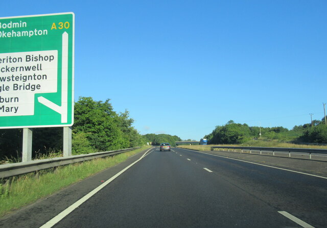
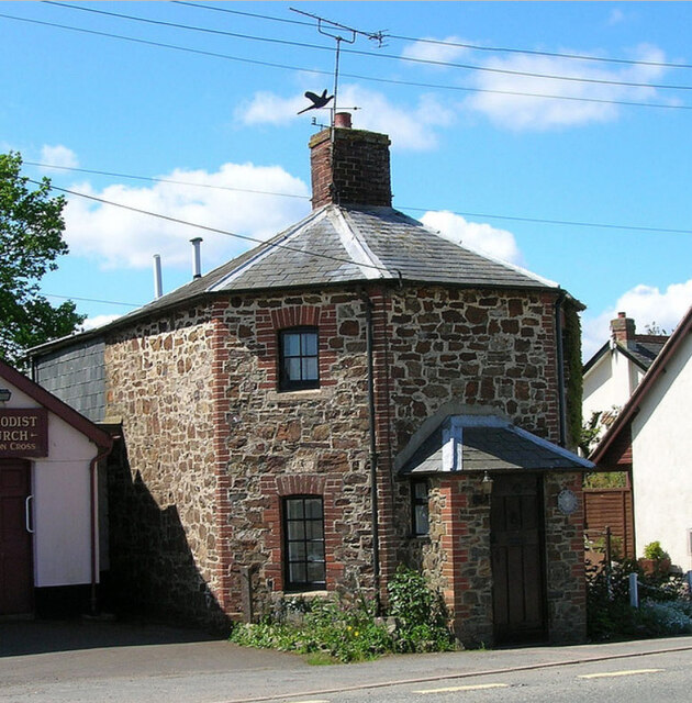
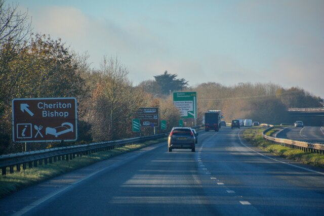
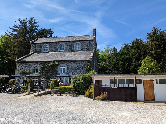
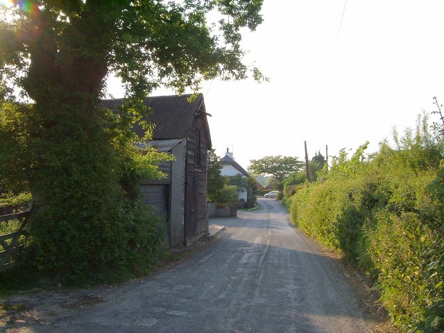
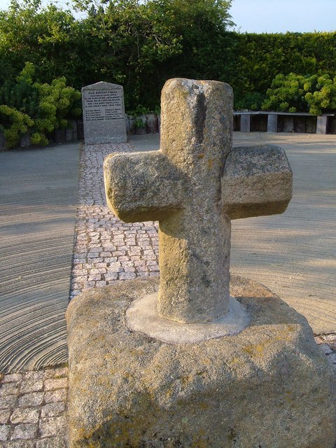
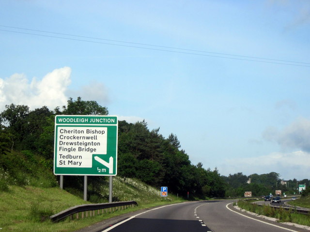
Melhuish Wood Images

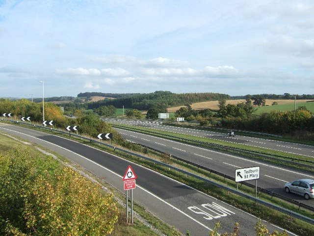
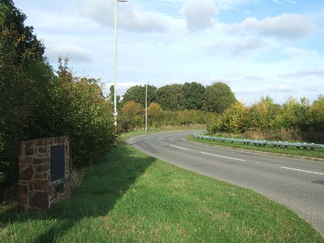
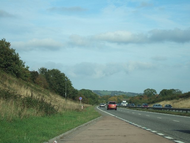
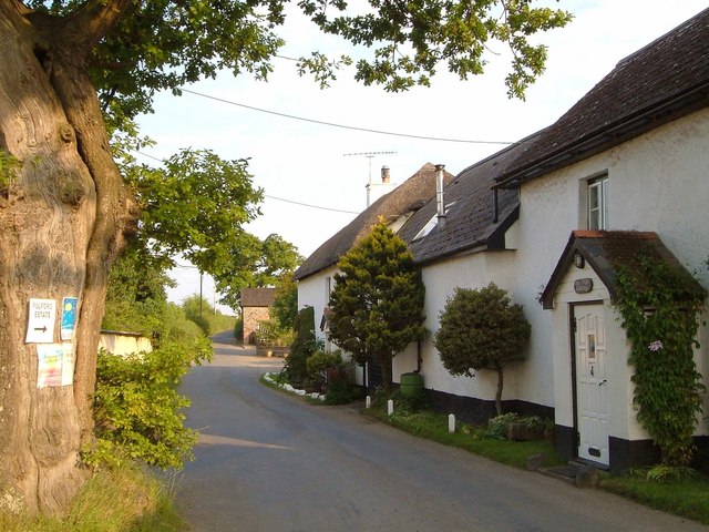
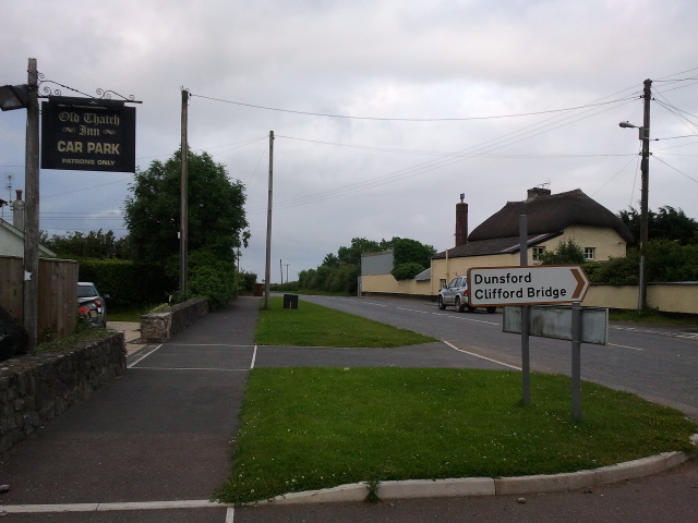
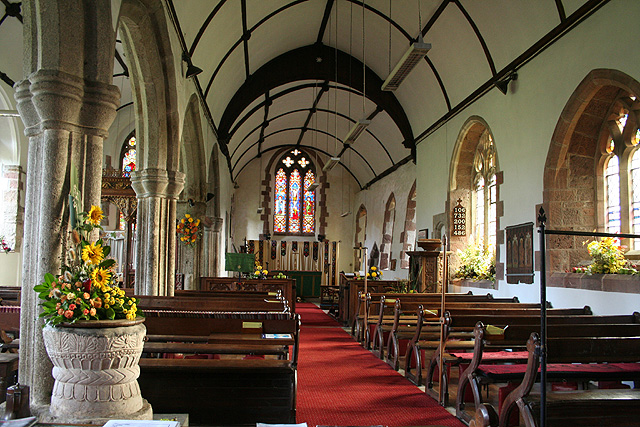
Images are sourced within 2km of 50.723748/-3.7159393 or Grid Reference SX7892. Thanks to Geograph Open Source API. All images are credited.

The A30 west at Woodleigh Junction
Former Toll House, Cheriton Cross On the South side of the main street through the village (ex A30).

Milestone Society National ID: DV.CHE
Former Toll House, Cheriton Cross
On the South side of the main street through the village (ex A30). Milestone Society National ID: DV.CHE
Cheriton Bishop : A30 Looking along the A30.
Cheriton Bishop : A30
Looking along the A30.
Woodleigh Coach House
A30 east of Woodleigh Junction
Woodleigh Junction, A30
The Old Thatch Inn Signs show that the inn is for sale
The Old Thatch Inn
Signs show that the inn is for sale
Bridge over A30
Bridge over A30
A30 from bridge at Cheriton Bishop
Plaque to mark the opening of bridge over A30 When the A30 dual carriageway was built, traffic at the junction for Cheriton Bishop and other villages had to cross the carriageway; it became an accident black-spot.  Local campaigners persuaded the Highways Agency to build a bridge and make a safer junction.  This plaque also notes the efforts of one local councillor in the campaign.
Plaque to mark the opening of bridge over A30
When the A30 dual carriageway was built, traffic at the junction for Cheriton Bishop and other villages had to cross the carriageway; it became an accident black-spot. Local campaigners persuaded the Highways Agency to build a bridge and make a safer junction. This plaque also notes the efforts of one local councillor in the campaign.
Lay-by on A30 near Hackworthy
Lay-by on A30 south-west of Tedburn StMary
Dunsford Road, Cheriton Bishop From its junction with the old A30, with an old oak, after which the first cottage is named.
Dunsford Road, Cheriton Bishop
From its junction with the old A30, with an old oak, after which the first cottage is named.
Dunsford Road, Cheriton Bishop A reverse view of <a href="https://www.geograph.org.uk/photo/2645201">SX7792 : Dunsford Road, Cheriton Bishop</a>, from one oak tree to another.
Dunsford Road, Cheriton Bishop
A reverse view of SX7792 : Dunsford Road, Cheriton Bishop, from one oak tree to another.
Cheriton Cross When the old A30 was widened in 1969, the medieval cross was moved. It also serves as a war memorial <span class="nowrap"><a title="http://www.britishlistedbuildings.co.uk/en-95141-cheriton-cross-cheriton-bishop" rel="nofollow ugc noopener" href="http://www.britishlistedbuildings.co.uk/en-95141-cheriton-cross-cheriton-bishop">Link</a><img style="margin-left:2px;" alt="External link" title="External link - shift click to open in new window" src="https://s1.geograph.org.uk/img/external.png" width="10" height="10"/></span> .
Cheriton Cross
When the old A30 was widened in 1969, the medieval cross was moved. It also serves as a war memorial LinkExternal link .
A30 Approaching Woodleigh Junction, Westbound
Fields and house at East Down
Road heading east through Cheriton Bishop
Show me another place!

Melhuish Wood is located at Grid Ref: SX7892 (Lat: 50.723748, Lng: -3.7159393)

Administrative County: Devon

District: Teignbridge

Police Authority: Devon and Cornwall

What 3 Words

///clan.ketchup.forkful. Near Moretonhampstead, Devon

Related Wikis

West Country English

West Country English is a group of English language varieties and accents used by much of the native population of the West Country, an area found in the...

Great Fulford

Great Fulford is an historic estate in the parish of Dunsford, Devon. The grade I listed manor house, known as Great Fulford House, is about 9 miles west...

Cheriton Bishop

Cheriton Bishop is a village and civil parish situated on the northern borders of Dartmoor National park between Exeter and Okehampton, in Devon, England...

Tedburn St Mary

Tedburn St Mary is a village and civil parish in the Teignbridge district of Devon, England, approximately 8 miles west of Exeter. It has a population...

Nearby Amenities

Located within 500m of 50.723748,-3.7159393
Parking
Access: yes
Fee: no
Note: Layby
Parking: surface
Source: survey
Lat/Long: 50.7261993/-3.7126287
Phone
Check Date: 2022-09-18
Emergency: phone
Source: survey
Lat/Long: 50.7262039/-3.7132384
The data included in this document is from www.openstreetmap.org. The data is made available under ODbL.

Have you been to Melhuish Wood?

Leave your review of Melhuish Wood below (or comments, questions and feedback).