Hall Wood

Wood, Forest in Devon North Devon

England

Hall Wood

Sir Roberts Chair Sir Roberts Chair is a foreshore pinnacle at Desolation Point, Exmoor Coast. Wingate waterfall 75ft is about 200m east in grid sq SS7849
Sir Roberts Chair Credit: Exmoor Walker

Hall Wood is a picturesque woodland located in the county of Devon, England. Covering an area of approximately 20 acres, the wood is a mix of mature trees, including oak, beech, and ash, as well as younger saplings and wildflowers. The woodland is home to a variety of wildlife, such as deer, squirrels, and a wide range of bird species.

Visitors to Hall Wood can enjoy peaceful walks along well-maintained paths that wind through the trees, providing opportunities for birdwatching and nature photography. The wood is also a popular spot for picnics and family outings, with designated areas for recreational activities.

Hall Wood is managed by a local conservation group, who work to preserve the natural beauty of the wood and protect its diverse ecosystem. The group organizes regular events and volunteer opportunities for those interested in getting involved in the maintenance and conservation efforts.

Overall, Hall Wood offers a tranquil escape from the hustle and bustle of everyday life, allowing visitors to connect with nature and enjoy the beauty of the Devon countryside.

If you have any feedback on the listing, please let us know in the comments section below.
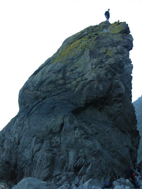
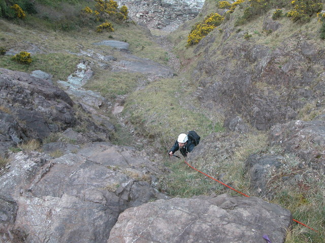
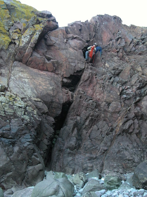
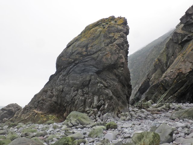
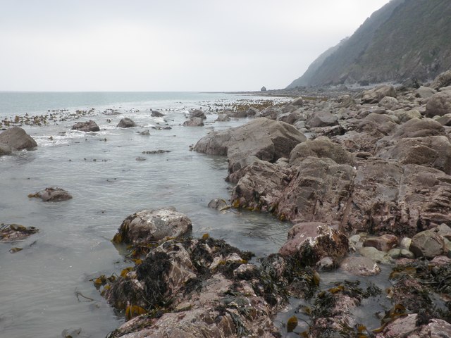
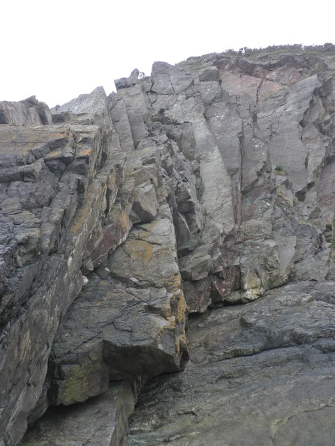
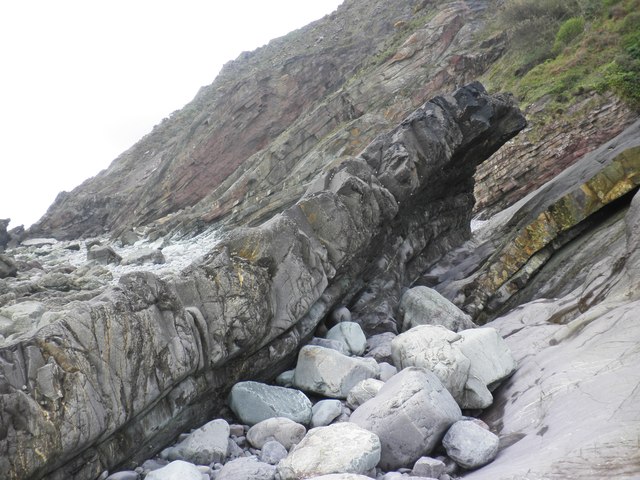
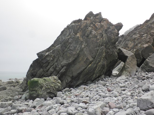
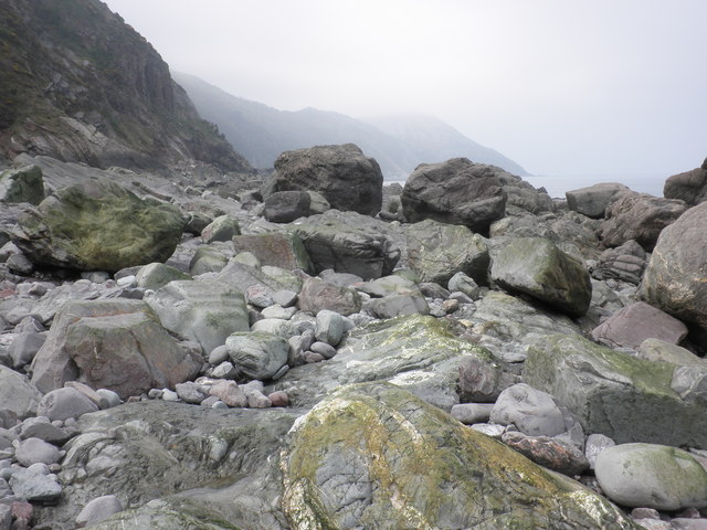
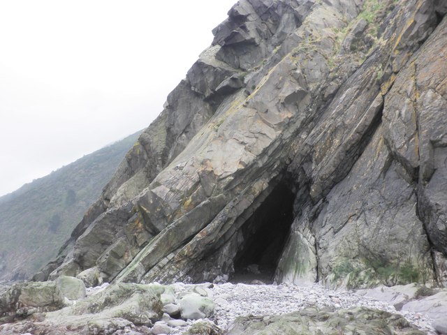
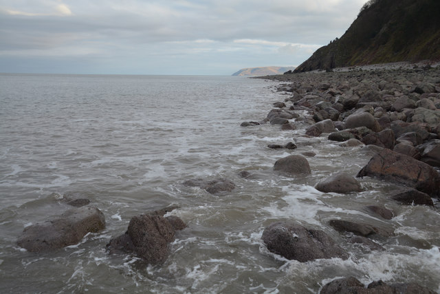
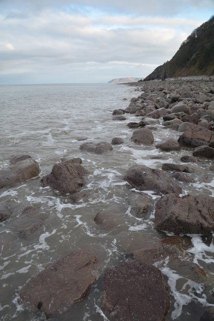
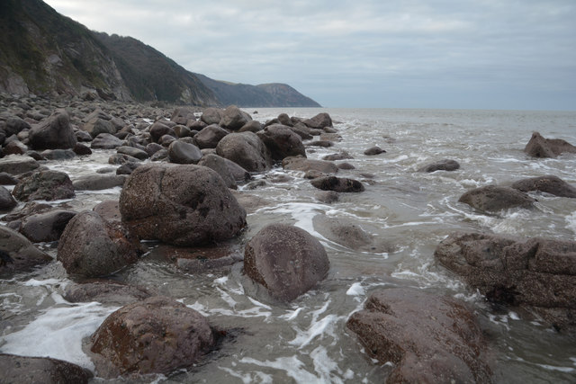
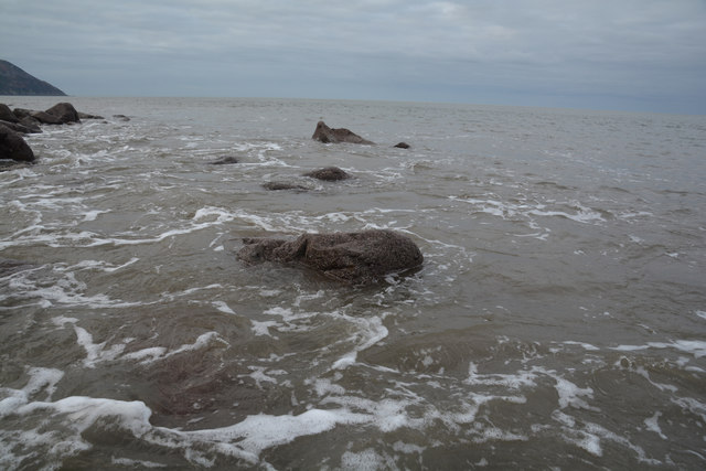
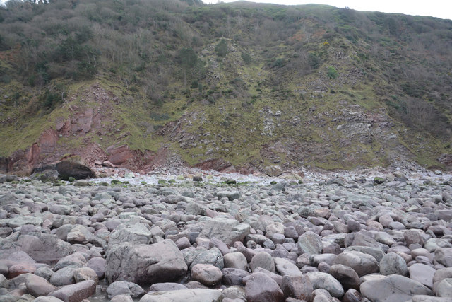
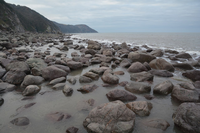
Hall Wood Images

Images are sourced within 2km of 51.22028/-3.7472159 or Grid Reference SS7848. Thanks to Geograph Open Source API. All images are credited.

Sir Roberts Chair Sir Roberts Chair is a foreshore pinnacle at Desolation Point, Exmoor Coast. Wingate waterfall 75ft is about 200m east in grid sq SS7849
Sir Roberts Chair
Sir Roberts Chair is a foreshore pinnacle at Desolation Point, Exmoor Coast. Wingate waterfall 75ft is about 200m east in grid sq SS7849
Whitebeam Gully. Exmoor A grade 3 scramble
Whitebeam Gully. Exmoor
A grade 3 scramble
Desolation Point. Exmoor Climber emerging from the through cave at Desolation Point. (Sir Roberts Chair)
<span class="nowrap"><a title="http://uk.groups.yahoo.com/group/exmoorcoast" rel="nofollow ugc noopener" href="http://uk.groups.yahoo.com/group/exmoorcoast">Link</a><img style="margin-left:2px;" alt="External link" title="External link - shift click to open in new window" src="https://s1.geograph.org.uk/img/external.png" width="10" height="10"/></span>
Desolation Point. Exmoor
Climber emerging from the through cave at Desolation Point. (Sir Roberts Chair) LinkExternal link
Sir Robert's Chair
Sir Robert's Chair
Below Desolation Point, at low tide
Fractured cliffs, Countisbury Cove
Wave Rock This outlying remnant of strata has been eroded over time to resemble what appears to be a massive breaking wave, solidified in rock.
Wave Rock
This outlying remnant of strata has been eroded over time to resemble what appears to be a massive breaking wave, solidified in rock.
Rock outcrop, Countisbury Cove
Boulder strewn foreshore, near Desolation Point
Cave, below Desolation Point
North Devon : Pebble Beach Around 30 or so minutes after a low spring tide on a square which is soon to go underwater. Had to step on the few remaining rocks to remain dry to get here.
North Devon : Pebble Beach
Around 30 or so minutes after a low spring tide on a square which is soon to go underwater. Had to step on the few remaining rocks to remain dry to get here.
North Devon : Pebble Beach Looking back along the pebble beach towards the cliff.
North Devon : Pebble Beach
Looking back along the pebble beach towards the cliff.
North Devon : Pebble Beach Looking along the pebble coastline at low tide.
North Devon : Pebble Beach
Looking along the pebble coastline at low tide.
North Devon : Pebble Beach Looking out to the Bristol Channel from the pebble coastline.
North Devon : Pebble Beach
Looking out to the Bristol Channel from the pebble coastline.
North Devon : Pebble Beach The cliffs and rocky coastline at Desolation Point in North Devon.
North Devon : Pebble Beach
The cliffs and rocky coastline at Desolation Point in North Devon.
Show me another place!

Hall Wood is located at Grid Ref: SS7848 (Lat: 51.22028, Lng: -3.7472159)

Administrative County: Devon

District: North Devon

Police Authority: Devon and Cornwall

What 3 Words

///fish.downcast.dribble. Near Lynton, Devon

Nearby Locations

Hall Wood Southern Wood

Related Wikis

Brendon and Countisbury

Brendon and Countisbury is an English civil parish in the district of North Devon and the county of Devon. The civil parish was created on 1 April 2013...

Malmsmead

Malmsmead is a hamlet on the border between the English counties of Devon and Somerset. The nearest town is Lynton, which lies approximately 4.7 miles...

Brendon

Brendon is a village and former civil parish, now in the parish of Brendon and Countisbury, in the North Devon district, in the county of Devon, England...

Malmsmead Bridge

Malmsmead Bridge is a 17th-century stone bridge which crosses Badgworthy Water in the hamlet of Malmsmead, on the road between Oare and Brendon. The Badgworthy...

Nearby Amenities

Located within 500m of 51.22028,-3.7472159
Barrier: kissing_gate
Lat/Long: 51.2213088/-3.7405819
The data included in this document is from www.openstreetmap.org. The data is made available under ODbL.

Have you been to Hall Wood?

Leave your review of Hall Wood below (or comments, questions and feedback).