Church Hill

Settlement in Staffordshire Cannock Chase

England

Church Hill

Hednesford Railway Station
Hednesford Railway Station Credit: Ian S

Church Hill is a small village located in the county of Staffordshire, in the West Midlands region of England. Situated approximately 4 miles east of the town of Burton upon Trent, it is nestled in the picturesque countryside of the National Forest.

The village takes its name from the prominent St. Michael's Church, which stands at the top of a hill and overlooks the surrounding area. The church, a Grade II listed building, dates back to the 12th century and is a significant historical landmark in the region. It serves as a focal point for the local community and attracts visitors with its stunning architecture and peaceful atmosphere.

Church Hill is a close-knit community with a population of around 500 residents. The village is known for its charming, traditional cottages and well-maintained gardens, which add to its idyllic character. The tranquil countryside setting provides ample opportunities for outdoor activities like hiking, cycling, and enjoying nature.

Despite its small size, Church Hill boasts a strong sense of community spirit and hosts various events throughout the year, including a summer fair and a Christmas market. The village also has a local pub, The Crown Inn, where visitors and residents can enjoy a drink or a meal.

Overall, Church Hill offers a serene and picturesque escape from the hustle and bustle of larger towns and cities. Its rich history, beautiful surroundings, and tight-knit community make it a delightful place to visit or call home.

If you have any feedback on the listing, please let us know in the comments section below.
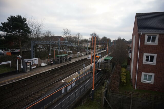
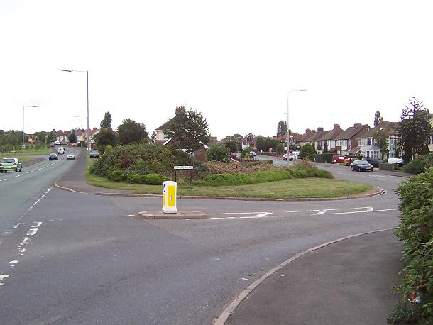
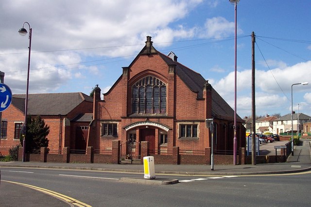
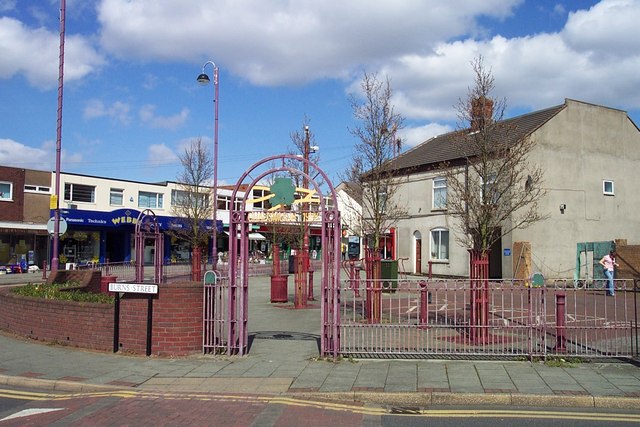
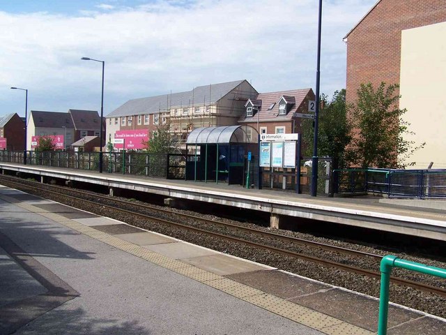
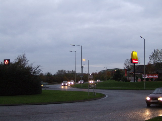
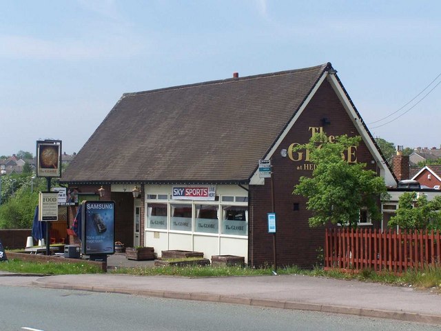
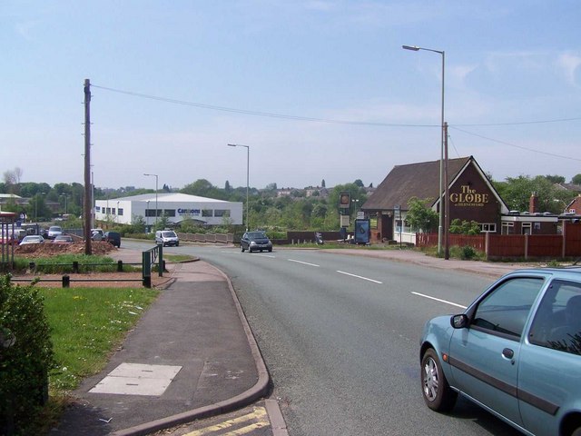
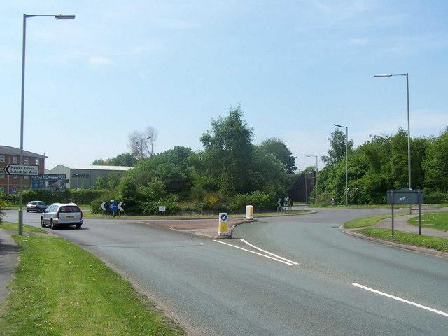
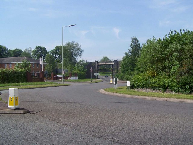
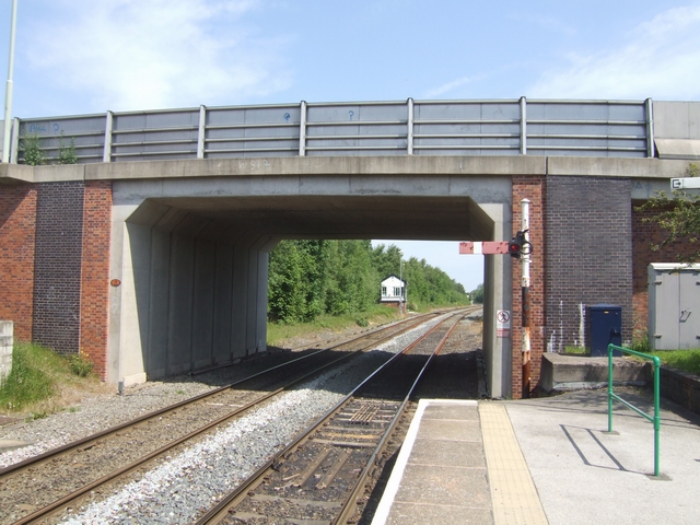
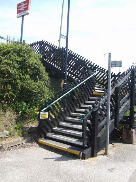
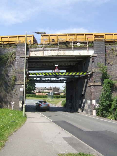
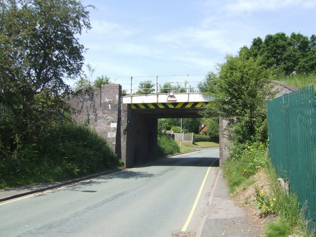
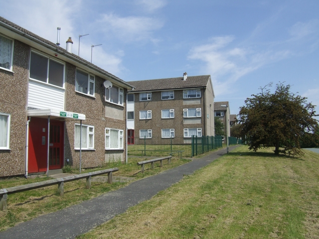
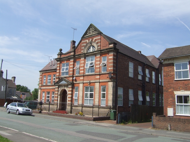
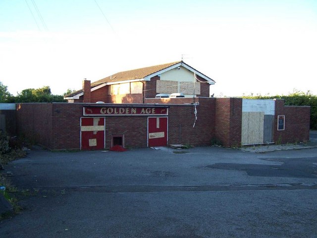
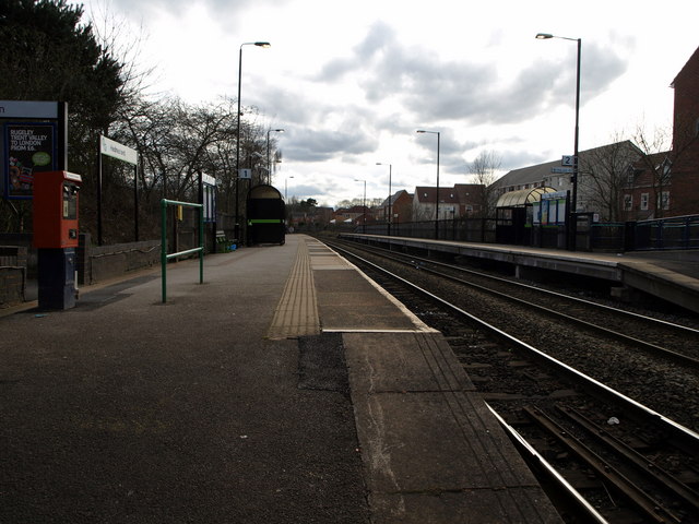
Church Hill Images

Images are sourced within 2km of 52.705374/-1.990495 or Grid Reference SK0011. Thanks to Geograph Open Source API. All images are credited.

Hednesford Railway Station
East Cannock The junction of East Cannock Road (A460) and Lower Road.
East Cannock
The junction of East Cannock Road (A460) and Lower Road.
Bethel Baptist Church, Chadsmoor
Chadsmoor
Chadsmoor
Hednesford Station Opened in 1989, trains operated by Central Trains run between Birmingham and Rugeley
Hednesford Station
Opened in 1989, trains operated by Central Trains run between Birmingham and Rugeley
Roundabout Hawks Green Early Morning traffic under the "Golden Arches"  near the roundabout at Hawks Green.
Roundabout Hawks Green
Early Morning traffic under the "Golden Arches" near the roundabout at Hawks Green.
The Globe, Hednesford
East Cannock Road
East Cannock Road
Roundabout, East Cannock Road
Roundabout And Railway Bridge, East Cannock Road
Looking north from Hednesford Station A new bridge adjacent to the station on the Stafford to Walsall line.
Looking north from Hednesford Station
A new bridge adjacent to the station on the Stafford to Walsall line.
Steps at Hednesford Station
Propped bridge The bridge has been propped for as long as I can remember.  Being in the middle of the Cannock Chase coalfield it has been affected by subsidence. Mining in the local pit finished in 1982. Is it time to think about reconstruction now that a passenger service has been re-introduced between Rugeley and Cannock?
Propped bridge
The bridge has been propped for as long as I can remember. Being in the middle of the Cannock Chase coalfield it has been affected by subsidence. Mining in the local pit finished in 1982. Is it time to think about reconstruction now that a passenger service has been re-introduced between Rugeley and Cannock?
Bridge 22 - Walsall to Stafford Line Only 12'9" headroom on this short cut to the new developments east of Cannock.
Bridge 22 - Walsall to Stafford Line
Only 12'9" headroom on this short cut to the new developments east of Cannock.
Housing in Sherwood Drive Precast concrete system built housing on the outskirts of Cannock with regimented blocks of three storey flats.
Housing in Sherwood Drive
Precast concrete system built housing on the outskirts of Cannock with regimented blocks of three storey flats.
Anglesey Court, Hednesford Built in 1912 and recently converted into flats. The Marquis of Anglesey was the major landowner in the area.
Anglesey Court, Hednesford
Built in 1912 and recently converted into flats. The Marquis of Anglesey was the major landowner in the area.
The Golden Age, Chadsmoor A once thriving pub
The Golden Age, Chadsmoor
A once thriving pub
Hednesford Railway Station, looking towards Cannock.
Show me another place!

Church Hill is located at Grid Ref: SK0011 (Lat: 52.705374, Lng: -1.990495)

Administrative County: Staffordshire

District: Cannock Chase

Police Authority: Staffordshire

What 3 Words

///stays.jump.palms. Near Cannock, Staffordshire

Related Wikis

Church Hill, Staffordshire

Church Hill is a suburban village in the Cannock Chase district, in the county of Staffordshire, England. The village is located east of Hednesford and...

Our Lady of Lourdes Church, Hednesford

Our Lady of Lourdes Church is the Roman Catholic church of Hednesford in Cannock Chase, Staffordshire, England. A Grade II listed building, it was built...

Kingsmead School, Hednesford

Kingsmead School is a coeducational secondary school and sixth form. Established in 1938, it is located in Hednesford, Staffordshire, England. The head...

Hednesford Park

Hednesford Park is a park located in Hednesford, Staffordshire, England. The park covers an area of 24 acres (9.7 hectares), consisting of a recreational...

Valley coal mine

Valley Colliery, commonly known as Valley Pit, was a deep coal mine and training centre located in Hednesford, Staffordshire, UK. Situated at the foot...

Littleworth, Cannock

Littleworth is an area of Cannock Chase District, Staffordshire, England. The area is mainly residential and industrial. It is located between Wimblebury...

Keys Park

Keys Park, which is currently known as The PRG Roofing and Construction ground, is the home of the Hednesford Town Football Club, and is situated on Keys...

Cannock Chase (UK Parliament constituency)

Cannock Chase is a constituency in Staffordshire represented in the House of Commons of the UK Parliament since 2015 by Amanda Milling of the Conservative...

Nearby Amenities

Located within 500m of 52.705374,-1.990495
Bus Stop
Church Hill
Bus: yes
Naptan AtcoCode: 3800C207600
Naptan Bearing: S
Naptan CommonName: Church Hill
Naptan Indicator: Adj
Naptan Landmark: Church Hill
Naptan Street: Uxbridge Street
Naptan Verified: no
Public Transport: platform
Source: naptan_import
Lat/Long: 52.7070883/-1.9970546
Bus Stop
Market Street
Bus: yes
Naptan AtcoCode: 3800C207601
Naptan Bearing: N
Naptan CommonName: Market Street
Naptan Indicator: Adj
Naptan Landmark: Market Street
Naptan Street: Uxbridge Street
Naptan Verified: no
Public Transport: platform
Source: naptan_import
Lat/Long: 52.7066927/-1.9972323
Bus Stop
Dove Hollow
Bus: yes
Naptan AtcoCode: 3800C224901
Naptan Bearing: NE
Naptan CommonName: Dove Hollow
Naptan Indicator: Adj
Naptan Landmark: Dove Hollow
Naptan Street: Littleworth Rd
Naptan Verified: no
Public Transport: platform
Source: naptan_import
Lat/Long: 52.7047229/-1.9840012
Bus Stop
Dove Hollow
Bus: yes
Naptan AtcoCode: 3800C224902
Naptan Bearing: SW
Naptan CommonName: Dove Hollow
Naptan Indicator: Opp
Naptan Landmark: Dove Hollow
Naptan Street: Littleworth Road
Naptan Verified: no
Public Transport: platform
Source: naptan_import
Lat/Long: 52.7045881/-1.9838976
Bus Stop
Plough & Harrow PH
Bus: yes
Naptan AtcoCode: 3800C225401
Naptan Bearing: S
Naptan CommonName: Plough & Harrow PH
Naptan Indicator: Adj
Naptan Landmark: Plough & Harrow PH
Naptan Street: Uxbridge Street
Naptan Verified: no
Public Transport: platform
Source: naptan_import
Lat/Long: 52.7041127/-1.9973804
Bus Stop
St Peters School
Bus: yes
Naptan AtcoCode: 3800C225801
Naptan Bearing: SE
Naptan CommonName: St Peters School
Naptan Indicator: Adj
Naptan Landmark: St Peters School
Naptan Street: Church Hill
Naptan Verified: no
Public Transport: platform
Source: naptan_import
Lat/Long: 52.704481/-1.9913124
Bus Stop
Littleworth Hill
Bus: yes
Naptan AtcoCode: 3800C254801
Naptan Bearing: SW
Naptan CommonName: Littleworth Hill
Naptan Indicator: Opp
Naptan Landmark: Littleworth Hill
Naptan Street: Littleworth Rd
Naptan Verified: no
Public Transport: platform
Source: naptan_import
Lat/Long: 52.7030963/-1.9886044
Bus Stop
Hewston Croft
Bus: yes
Naptan AtcoCode: 3800C254901
Naptan Bearing: NE
Naptan CommonName: Hewston Croft
Naptan Indicator: Adj
Naptan Landmark: Hewston Croft
Naptan Street: Littleworth Road
Naptan Verified: no
Public Transport: platform
Source: naptan_import
Lat/Long: 52.7037164/-1.9865915
Bus Stop
New Street
Bus: yes
Naptan AtcoCode: 3800C294001
Naptan Bearing: NW
Naptan CommonName: New Street
Naptan Indicator: Adj
Naptan Landmark: New Street
Naptan Street: Church Hill
Naptan Verified: no
Public Transport: platform
Source: naptan_import
Lat/Long: 52.7057127/-1.9934878
Bus Stop
New Street
Bus: yes
Naptan AtcoCode: 3800C294002
Naptan Bearing: SE
Naptan CommonName: New Street
Naptan Indicator: Opp
Naptan Landmark: New Street
Naptan Street: Church Hill
Naptan Verified: no
Public Transport: platform
Source: naptan_import
Lat/Long: 52.7058925/-1.9934138
Turning Circle
Source: bing
Lat/Long: 52.7066295/-1.9960575
Pub
Victoria WMC
Addr Housenumber: 116
Addr Postcode: WS12 1BQ
Addr Street: Church Hill
Fhrs Id: 1254019
Source Addr: FHRS Open Data
Wifi: no
Lat/Long: 52.7056717/-1.9937079
Post Box
Lat/Long: 52.7055092/-1.992753
Playtime Cannock
Leisure: playground
Lat/Long: 52.7032334/-1.9854519
Generator Method: photovoltaic
Generator Output Electricity: yes
Generator Source: solar
Generator Type: solar_photovoltaic_panel
Location: roof
Power: generator
Lat/Long: 52.7036688/-1.9932327
Generator Method: photovoltaic
Generator Output Electricity: yes
Generator Source: solar
Generator Type: solar_photovoltaic_panel
Location: roof
Power: generator
Lat/Long: 52.7049462/-1.9939354
Generator Method: photovoltaic
Generator Output Electricity: yes
Generator Source: solar
Generator Type: solar_photovoltaic_panel
Location: roof
Power: generator
Lat/Long: 52.7054809/-1.9939998
Generator Method: photovoltaic
Generator Output Electricity: yes
Generator Source: solar
Generator Type: solar_photovoltaic_panel
Location: roof
Power: generator
Lat/Long: 52.7043205/-1.9899657
Traffic Signals
Source: bing
Lat/Long: 52.7075757/-1.9968858
Pub
Plough and Harrow
Addr Postcode: WS12 1DB
Addr Street: Uxbridge Street
Fhrs Id: 1254142
Source Addr: FHRS Open Data
Lat/Long: 52.7041743/-1.9972989
Generator Method: photovoltaic
Generator Output Electricity: yes
Generator Source: solar
Generator Type: solar_photovoltaic_panel
Location: roof
Power: generator
Lat/Long: 52.7023328/-1.9850828
Generator Method: photovoltaic
Generator Output Electricity: yes
Generator Source: solar
Generator Type: solar_photovoltaic_panel
Location: roof
Power: generator
Lat/Long: 52.7029318/-1.9845195
Generator Method: photovoltaic
Generator Output Electricity: yes
Generator Source: solar
Generator Type: solar_photovoltaic_panel
Location: roof
Power: generator
Lat/Long: 52.7029903/-1.9842352
The data included in this document is from www.openstreetmap.org. The data is made available under ODbL.

Have you been to Church Hill?

Leave your review of Church Hill below (or comments, questions and feedback).