Church Hanborough

Settlement in Oxfordshire West Oxfordshire

England

Church Hanborough

Old Bridge Marker on Hanborough Bridge Bridge Marker set in the north parapet of Hanborough Bridge, River Evenlode, on the B4095 Main Road. On the boundary of Hanborough and Bladon parishes.

Milestone Society National ID: OX_HANBLA01br
Old Bridge Marker on Hanborough Bridge Credit: Roadside Relics

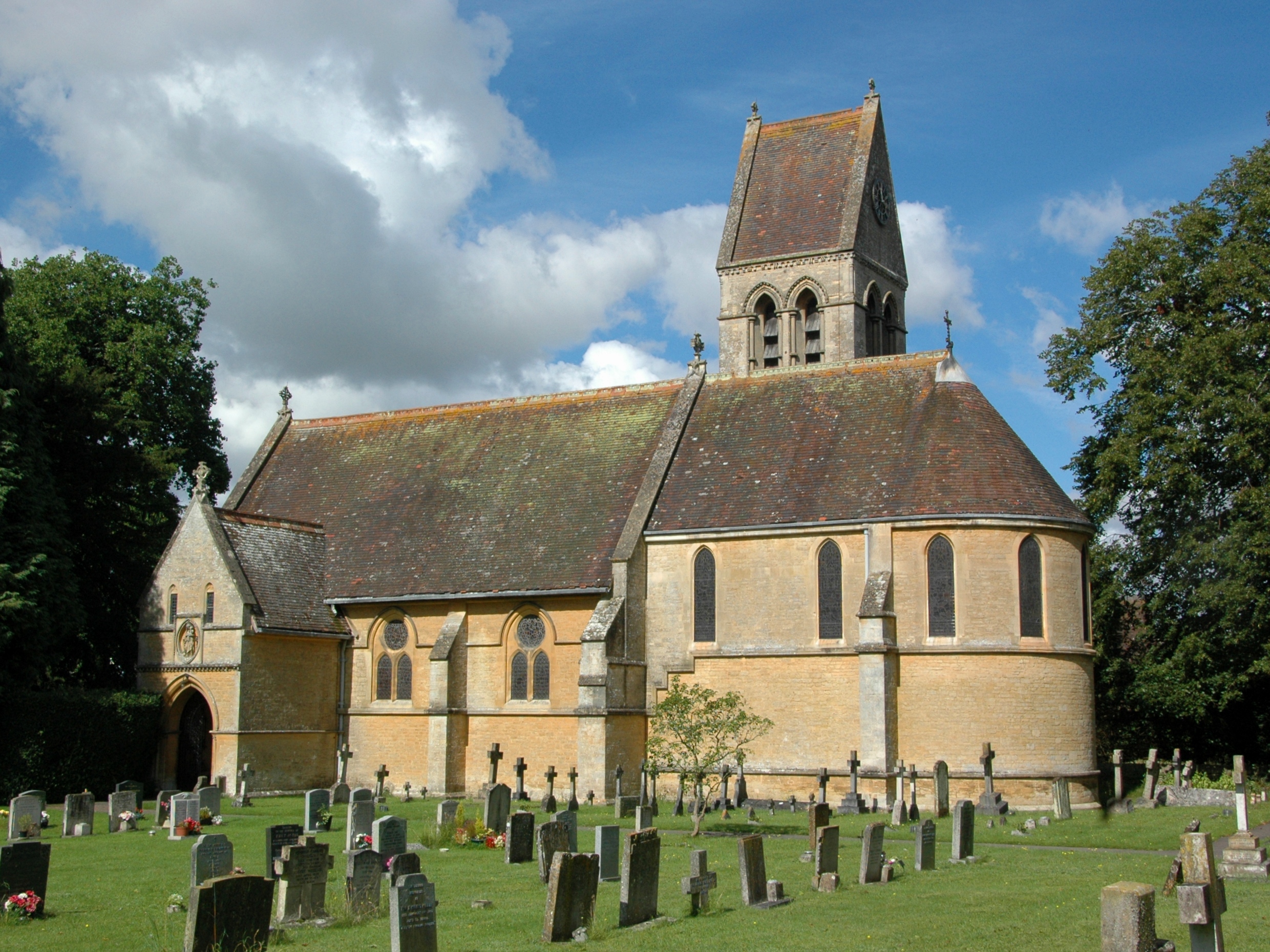
Church Hanborough is a small village located in the county of Oxfordshire, England. Situated about 12 miles northwest of the city of Oxford, it falls within the district of West Oxfordshire. The village is primarily known for its beautiful parish church, St. Peter and St. Paul, which dates back to the 12th century.

The church is a fine example of Norman architecture and features a mix of architectural styles from various periods. Its standout features include a prominent tower with a spire, a nave with aisles, and a chancel. Inside, visitors can admire the intricate detailing on the stone carvings and the stained glass windows, some of which are believed to be medieval.

Church Hanborough, also referred to as Great Hanborough, is a quintessential English village with a rural charm. The village itself is made up of a collection of small cottages and houses, many of which are constructed from the local honey-colored Cotswold stone. The surrounding countryside is characterized by rolling hills, lush green fields, and picturesque walking trails, offering visitors and residents a peaceful and idyllic setting.

Despite its small size, Church Hanborough boasts a strong sense of community. The village has a local pub, The Royal Sun, which serves as a popular meeting place for locals and visitors alike. Additionally, the village has a primary school and a village hall that hosts various community events throughout the year.

Overall, Church Hanborough is a charming village with a rich history and a close-knit community. Its stunning church, picturesque countryside, and tranquil atmosphere make it a delightful place to visit or call home.

If you have any feedback on the listing, please let us know in the comments section below.

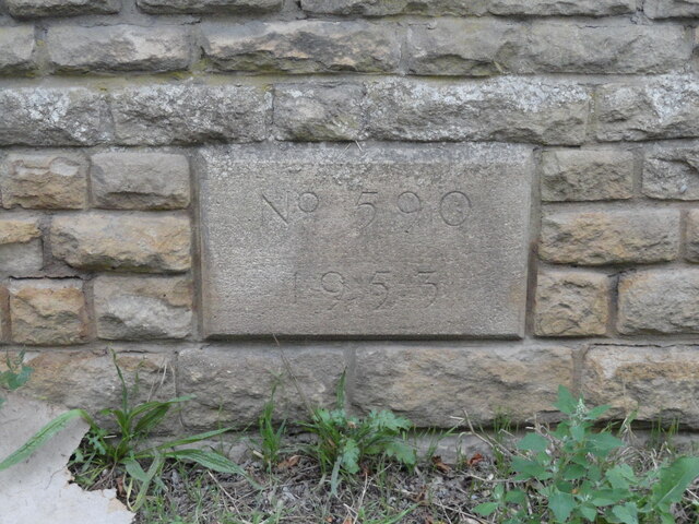
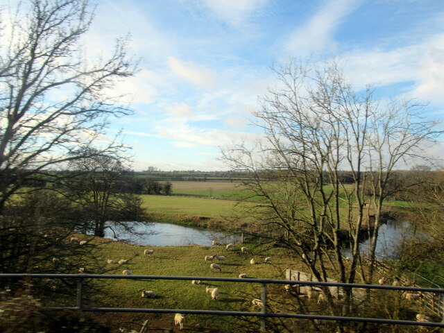
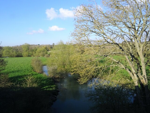
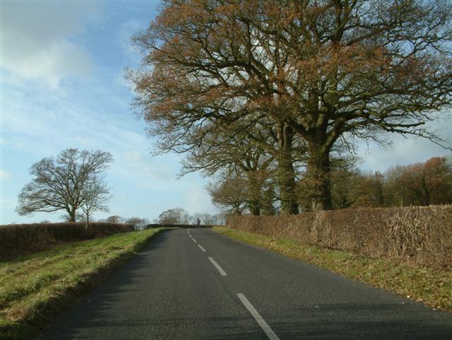
Church Hanborough Images

Images are sourced within 2km of 51.813056/-1.380557 or Grid Reference SP4212. Thanks to Geograph Open Source API. All images are credited.

Old Bridge Marker on Hanborough Bridge Bridge Marker set in the north parapet of Hanborough Bridge, River Evenlode, on the B4095 Main Road. On the boundary of Hanborough and Bladon parishes.

Milestone Society National ID: OX_HANBLA01br
Old Bridge Marker on Hanborough Bridge
Bridge Marker set in the north parapet of Hanborough Bridge, River Evenlode, on the B4095 Main Road. On the boundary of Hanborough and Bladon parishes. Milestone Society National ID: OX_HANBLA01br
Stream near Mill Farm Hanborough
Hanborough railway station, Oxfordshire Opened in 1853 as "Handborough" by the Oxford, Worcester & Wolverhampton Railway, later part of the Great Western Railway, on the line from Oxford to Worcester. The name was changed to "Hanborough"  in 1992.
View south east towards Yarnton Junction and Oxford. Compare with <a href="https://www.geograph.org.uk/photo/4021348">SP4314 : Hanborough railway station, Oxfordshire, 2014</a> - The former north-bound platform to the right has disappeared into the undergrowth but the taller trees have been cut down. A new booking office on the left was opened in 2019.
Hanborough railway station, Oxfordshire
Opened in 1853 as "Handborough" by the Oxford, Worcester & Wolverhampton Railway, later part of the Great Western Railway, on the line from Oxford to Worcester. The name was changed to "Hanborough" in 1992. View south east towards Yarnton Junction and Oxford. Compare with SP4314 : Hanborough railway station, Oxfordshire, 2014 - The former north-bound platform to the right has disappeared into the undergrowth but the taller trees have been cut down. A new booking office on the left was opened in 2019.
Painted Buses at the Museum The Oxford Bus Museum is next to Long Hanborough Station.
The museum is closed today. These very convincing looking buses are actually paintings on the garage roller door. The real ones are inside. <a href="https://www.geograph.org.uk/photo/5157199">SP4314 : Oxford Bus Museum</a>
Painted Buses at the Museum
The Oxford Bus Museum is next to Long Hanborough Station. The museum is closed today. These very convincing looking buses are actually paintings on the garage roller door. The real ones are inside. SP4314 : Oxford Bus Museum
Buses on the Door A closer look at the artwork buses on the roller door at Oxford Bus Museum as seen in <a href="https://www.geograph.org.uk/photo/7470530">SP4314 : Painted Buses at the Museum</a>
Buses on the Door
A closer look at the artwork buses on the roller door at Oxford Bus Museum as seen in SP4314 : Painted Buses at the Museum
Burleigh Wood
Burleigh Wood
River Evenlode
River Evenlode
Shelter, Hanborough railway station
Wooded embankment, Long Hanborough
Grazing, Long Hanborough
Footpath to Pinsley Wood
Path through Pinsley Wood
Hanborough Station Hanborough Station on the main line to London Paddington, view of station looking in a NW direction.
Hanborough Station
Hanborough Station on the main line to London Paddington, view of station looking in a NW direction.
The Oxfordshire Yeoman, Freeland
Wesleyan Chapel, Freeland
Cuckoo Lane
Cuckoo Lane
Christ Church, Long Hanborough
George and Dragon, Long Hanborough
Show me another place!

Church Hanborough is located at Grid Ref: SP4212 (Lat: 51.813056, Lng: -1.380557)

Administrative County: Oxfordshire

District: West Oxfordshire

Police Authority: Thames Valley

What 3 Words

///targeted.device.ringers. Near Eynsham, Oxfordshire

Nearby Locations

Church Hanborough

Related Wikis

Hanborough

Hanborough is a civil parish in West Oxfordshire. The parish includes the villages of Church Hanborough (Ordnance Survey grid reference SP4212) and Long...

Long Hanborough

Long Hanborough is a village in Hanborough civil parish, about 4 miles (6.4 km) northeast of Witney in West Oxfordshire, England. The village is the major...

The Bell Inn, Long Hanborough

The Bell Inn, Long Hanborough is a well-established Grade II listedrestaurant and public house in the village of Long Hanborough, Oxfordshire, England...

Hanborough railway station

Hanborough railway station is a railway station in the village of Long Hanborough in Oxfordshire, England, serving the village and surrounding district...

Church Hanborough

Church Hanborough is a village in Hanborough civil parish about 5 miles (8 km) northeast of Witney in Oxfordshire. == Manor == The Domesday Book of 1086...

Oxford Bus Museum

The Oxford Bus Museum is a transport museum at Long Hanborough, West Oxfordshire, England, about 4 miles (6.4 km) northeast of Witney and 7 miles (11 km...

Freeland, Oxfordshire

Freeland is a village and civil parish about 4 miles (6.4 km) northeast of Witney in Oxfordshire. The 2021 Census recorded the parish population as 1,490...

Tilgarsley

Tilgarsley was a village in Oxfordshire. It was recorded as existing in 1279 and was abandoned before 1350 as a result of the Black Death. It is thought...

Nearby Amenities

Located within 500m of 51.813056,-1.380557
Church Hanborough
Is In: Oxfordshire, England, UK
Place: village
Wikidata: Q5116605
Lat/Long: 51.8129211/-1.3826302
Post Box
Addr City: Church Hanborough
Addr Postcode: OX29 8AB
Addr Street: Church Road
Collection Times: Mo-Fr 16:00; Sa 09:00
Post Box Type: lamp
Ref: OX29 347
Lat/Long: 51.8133501/-1.3831238
Pub
Hand & Shears
Lat/Long: 51.8131444/-1.3827792
Telephone
Booth: KX300
Covered: booth
Lat/Long: 51.8120716/-1.3825388
Bus Stop
Hand and Shears
Bus: yes
Naptan AtcoCode: 340000206HS
Naptan Bearing: S
Naptan CommonName: Hand and Shears
Naptan Indicator: Outside
Naptan Landmark: Hand and Shears
Naptan NaptanCode: oxfajtaw
Naptan Street: Church Road
Naptan Verified: no
Public Transport: platform
Source: naptan_import
Lat/Long: 51.813375/-1.3832489
Hand and Shears
Naptan AtcoCode: 340000206OHS
Naptan Bearing: N
Naptan BusStopType: CUS
Naptan CommonName: Hand and Shears
Naptan Indicator: Opposite
Naptan Landmark: Hand and Shears
Naptan NaptanCode: oxfajtat
Naptan Street: Church Road
Naptan Verified: no
Source: naptan_import
Lat/Long: 51.8132314/-1.3833089
Power: pole
Lat/Long: 51.8102336/-1.3848254
Power: pole
Lat/Long: 51.8096966/-1.3849648
Power: pole
Lat/Long: 51.8127171/-1.3856018
Power: pole
Lat/Long: 51.8136861/-1.386803
Power: pole
Lat/Long: 51.8121572/-1.3856134
Power: pole
Lat/Long: 51.8102467/-1.3856241
Power: pole
Lat/Long: 51.8106113/-1.3847174
Power: pole
Lat/Long: 51.8117718/-1.3843929
Power: pole
Lat/Long: 51.8122562/-1.3850086
Power: pole
Lat/Long: 51.8131931/-1.3862089
Power: pole
Lat/Long: 51.814296/-1.387405
Power: pole
Lat/Long: 51.8163122/-1.3834869
Power: pole
Lat/Long: 51.8146377/-1.3833279
Power: pole
Lat/Long: 51.8146151/-1.3809279
Power: pole
Lat/Long: 51.8150141/-1.3826359
Power: pole
Lat/Long: 51.8146917/-1.3807978
Power: pole
Lat/Long: 51.8143348/-1.3792059
Power: pole
Lat/Long: 51.8145156/-1.3798188
Power: pole
Lat/Long: 51.8140421/-1.3775234
Power: pole
Lat/Long: 51.81485/-1.3817534
Power: pole
Lat/Long: 51.8154707/-1.3822127
Material: wood
Power: pole
Lat/Long: 51.8138251/-1.3758365
Power: pole
Lat/Long: 51.8141816/-1.3778696
Power: pole
Lat/Long: 51.8143508/-1.3788593
Material: wood
Power: pole
Lat/Long: 51.8134409/-1.3740802
Material: wood
Power: pole
Lat/Long: 51.8143863/-1.3752779
Material: wood
Power: pole
Lat/Long: 51.8149809/-1.3747743
Material: wood
Power: pole
Lat/Long: 51.8137376/-1.3758363
Material: wood
Power: pole
Lat/Long: 51.8143003/-1.3736936
Barrier: stile
Material: wood
Step Count: 1
Stile: stepover
Lat/Long: 51.8123147/-1.3772689
Barrier: stile
Stile: stepover
Lat/Long: 51.8138195/-1.3761381
Power: pole
Lat/Long: 51.8134872/-1.3855123
Power: pole
Lat/Long: 51.8141206/-1.3847071
Generator Method: photovoltaic
Generator Output Electricity: yes
Generator Source: solar
Generator Type: solar_photovoltaic_panel
Location: roof
Power: generator
Lat/Long: 51.8138052/-1.3848031
Generator Method: photovoltaic
Generator Output Electricity: yes
Generator Source: solar
Generator Type: solar_photovoltaic_panel
Location: roof
Power: generator
Lat/Long: 51.8135664/-1.3850391
Generator Method: photovoltaic
Generator Output Electricity: yes
Generator Source: solar
Generator Type: solar_photovoltaic_panel
Location: roof
Power: generator
Lat/Long: 51.8135639/-1.3849774
Generator Method: photovoltaic
Generator Output Electricity: yes
Generator Source: solar
Generator Type: solar_photovoltaic_panel
Location: roof
Power: generator
Lat/Long: 51.8135531/-1.3840024
The data included in this document is from www.openstreetmap.org. The data is made available under ODbL.

Have you been to Church Hanborough?

Leave your review of Church Hanborough below (or comments, questions and feedback).