Hill Top
Settlement in Staffordshire Cannock Chase
England
Hill Top
Hill Top is a charming village located in the county of Staffordshire, England. Situated on the outskirts of the larger town of Burton upon Trent, Hill Top offers a tranquil and picturesque setting for its residents and visitors alike.
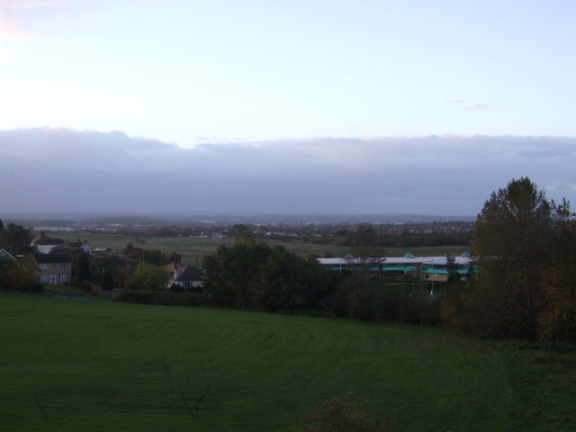
The village is known for its beautiful countryside, with rolling green hills and stunning views of the surrounding Staffordshire Moorlands. It is a popular destination for those seeking a peaceful retreat from the hustle and bustle of city life. The village is surrounded by farmland, adding to its rural charm.
Hill Top is home to a close-knit community, with a population of approximately 500 residents. The village has a range of amenities, including a local pub, a community center, and a primary school. It also has a small selection of shops, providing for the basic needs of its residents.
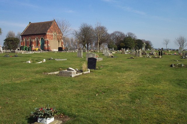
One of the main attractions in Hill Top is its historic church, which dates back to the 12th century. The church is a stunning example of medieval architecture and is a popular spot for visitors interested in history and heritage. The churchyard offers a peaceful place for reflection and is adorned with beautifully maintained graves and tombstones.
The village is well-connected, with good road links to nearby towns and cities. It offers easy access to the popular attractions of the Staffordshire region, including the Peak District National Park and Alton Towers theme park.
Overall, Hill Top is a delightful village that offers a tranquil and idyllic setting, perfect for those looking to escape the hustle and bustle of modern life.
If you have any feedback on the listing, please let us know in the comments section below.
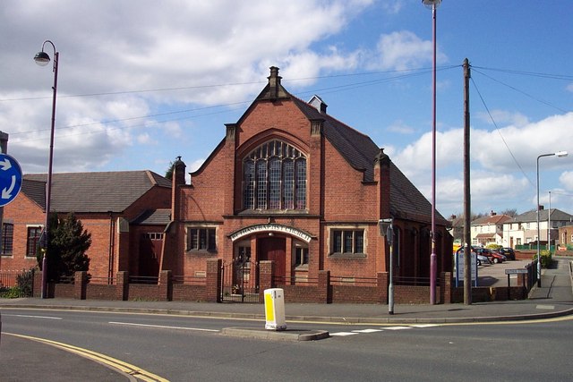
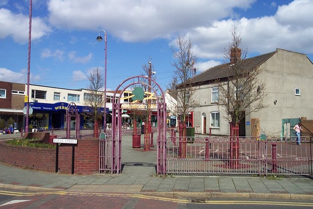
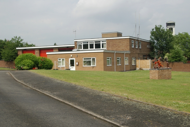
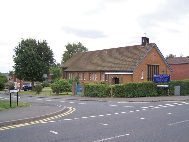
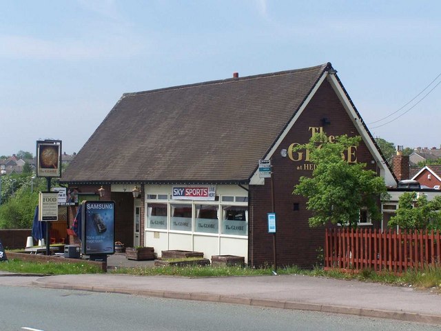
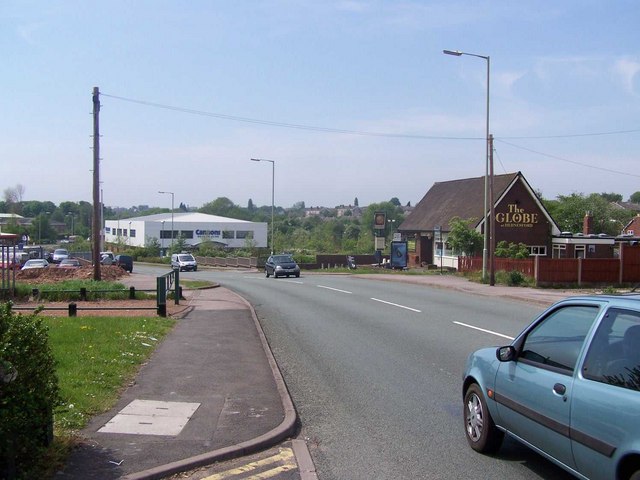
Hill Top Images
Images are sourced within 2km of 52.703089/-1.9976339 or Grid Reference SK0011. Thanks to Geograph Open Source API. All images are credited.
Hill Top is located at Grid Ref: SK0011 (Lat: 52.703089, Lng: -1.9976339)
Administrative County: Staffordshire
District: Cannock Chase
Police Authority: Staffordshire
What 3 Words
///light.remit.hoping. Near Cannock, Staffordshire
Nearby Locations
Related Wikis

Kingsmead School, Hednesford
Kingsmead School is a coeducational secondary school and sixth form. Established in 1938, it is located in Hednesford, Staffordshire, England. The head...

Our Lady of Lourdes Church, Hednesford
Our Lady of Lourdes Church is the Roman Catholic church of Hednesford in Cannock Chase, Staffordshire, England. A Grade II listed building, it was built...

Cannock Chase (UK Parliament constituency)
Cannock Chase is a constituency in Staffordshire represented in the House of Commons of the UK Parliament since 2015 by Amanda Milling of the Conservative...
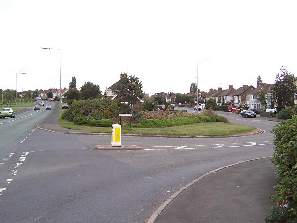
Church Hill, Staffordshire
Church Hill is a suburban village in the Cannock Chase district, in the county of Staffordshire, England. The village is located east of Hednesford and...
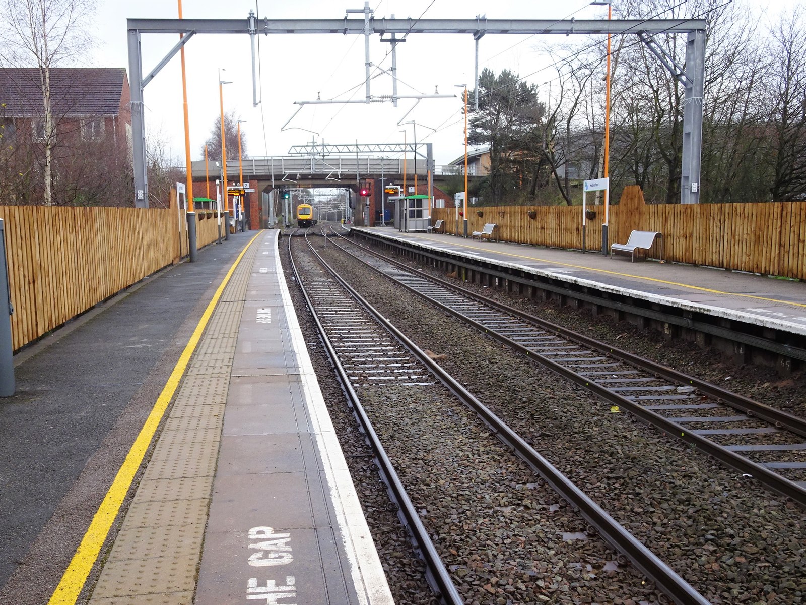
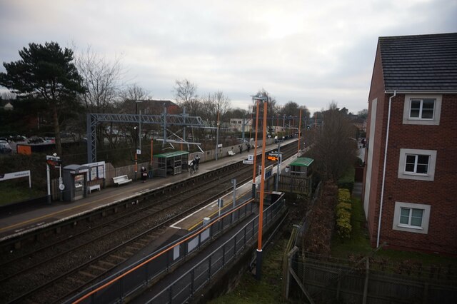
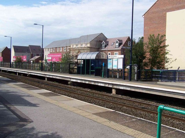
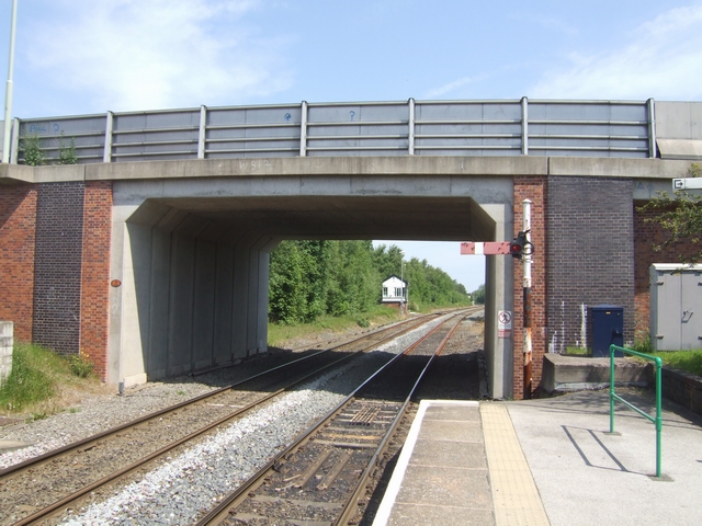
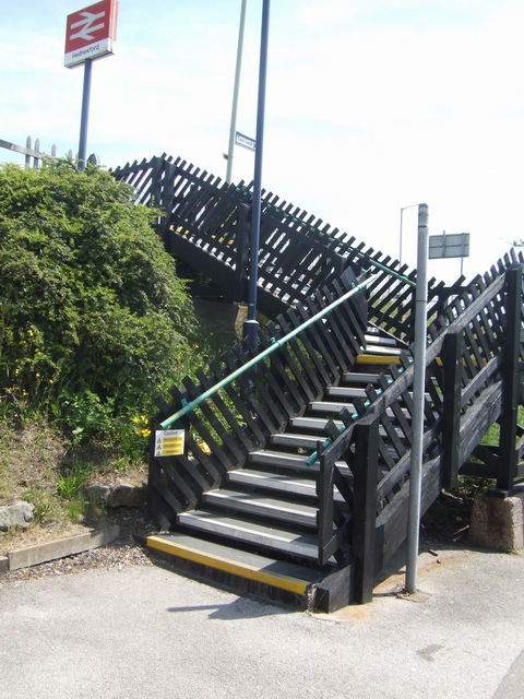
Hednesford railway station
Hednesford railway station serves the town of Hednesford in Staffordshire, England. The station, and all trains serving it, are operated by West Midlands...

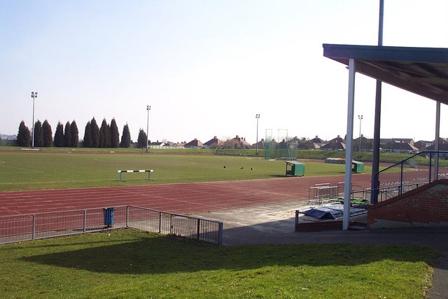
Keys Park
Keys Park, which is currently known as The PRG Roofing and Construction ground, is the home of the Hednesford Town Football Club, and is situated on Keys...

Hednesford Park
Hednesford Park is a park located in Hednesford, Staffordshire, England. The park covers an area of 24 acres (9.7 hectares), consisting of a recreational...

Hednesford
Hednesford ( HENSS-fərd () is a market town and civil parish in the Cannock Chase district of Staffordshire, England. The Cannock Chase area of natural...
Nearby Amenities
Located within 500m of 52.703089,-1.9976339Have you been to Hill Top?
Leave your review of Hill Top below (or comments, questions and feedback).