Church Hill
Settlement in Pembrokeshire
Wales
Church Hill

Church Hill is a small village located in the county of Pembrokeshire, Wales. Situated on a gentle slope, it offers picturesque views of the surrounding countryside and the nearby coastline. The village is characterized by its quaint charm and peaceful atmosphere, making it an ideal destination for those seeking a serene retreat.
One of the notable landmarks in Church Hill is St. Mary's Church, a historic building that dates back to the medieval period. This church stands as a testament to the village's rich history and serves as a gathering place for the local community. The churchyard is a tranquil spot with beautifully maintained grounds, offering a peaceful setting for reflection or a leisurely stroll.
The village itself is relatively small, with a close-knit community that values its rural heritage. Traditional stone cottages and farmhouses line the streets, adding to the village's rustic appeal. The local economy is largely centered around agriculture, with many residents involved in farming or related industries.
Despite its small size, Church Hill is surrounded by natural beauty. The village is situated near the Pembrokeshire Coast National Park, allowing residents and visitors easy access to stunning coastal walks and breathtaking views. The nearby beaches are popular for their unspoiled beauty and are a haven for wildlife enthusiasts and nature lovers.
Church Hill's charm lies in its simplicity and tranquility, making it an idyllic place for those seeking a peaceful escape from the hustle and bustle of modern life. Whether it's exploring the historic church, enjoying the scenic countryside, or simply immersing oneself in the village's serene ambiance, Church Hill offers a slice of rural paradise in Pembrokeshire.
If you have any feedback on the listing, please let us know in the comments section below.
Church Hill Images
Images are sourced within 2km of 51.78773/-4.9447246 or Grid Reference SM9714. Thanks to Geograph Open Source API. All images are credited.


Church Hill is located at Grid Ref: SM9714 (Lat: 51.78773, Lng: -4.9447246)
Unitary Authority: Pembrokeshire
Police Authority: Dyfed Powys
What 3 Words
///indulgent.hunk.minds. Near Haverfordwest, Pembrokeshire
Nearby Locations
Related Wikis

Uzmaston
Uzmaston is a small parish in Pembrokeshire, Wales, about 2 kilometres south-east of Haverfordwest. The village, to the northwest of Boulston, forms part...

Haverfordwest Priory
Haverfordwest Priory (Welsh: Priordy Hwlffordd) was a house of Augustinian Canons Regular on the banks of the Western Cleddau at Haverfordwest, Pembrokeshire...

Haverfordwest railway station
Haverfordwest railway station serves the town of Haverfordwest in Pembrokeshire, Wales. It is 63 miles (101 km) west of Swansea on the Milford Haven branch...

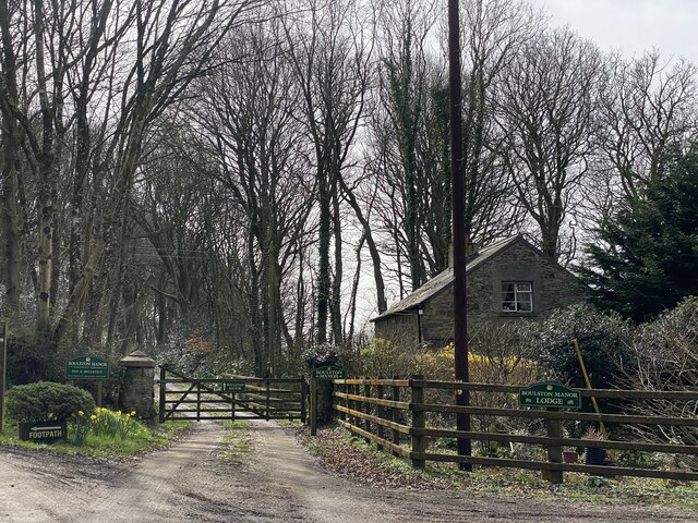
Boulston
Boulston is a small settlement and former parish on the left bank of the Western Cleddau river in Pembrokeshire, Wales, in the community of Uzmaston, Boulston...
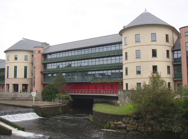
County Hall, Haverfordwest
The County Hall (Welsh: Neuadd y Sir) is a municipal building on Freemens Way in Haverfordwest, Pembrokeshire, Wales. It was built in 1999 and serves as...
Haverfordwest Rural District
Haverfordwest Rural District was a rural district in the administrative county of Pembrokeshire, Wales from 1894 to 1974, covering an area in the west...
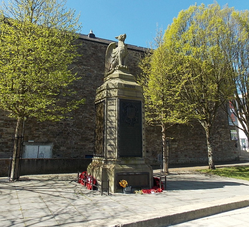
County of Pembroke War Memorial
The County of Pembroke War Memorial (Welsh: Cofeb Ryfel Sir Benfro) is a county war memorial in Pembrokeshire, Wales. It was erected in 1921 in Pembrokeshire...
Haverfordwest Priory (electoral ward)
Haverfordwest Priory is the name of an electoral ward in Pembrokeshire, Wales. It covers the southern edge of the town of Haverfordwest, mostly west of...
Nearby Amenities
Located within 500m of 51.78773,-4.9447246Have you been to Church Hill?
Leave your review of Church Hill below (or comments, questions and feedback).