North Wood
Wood, Forest in Devon South Hams
England
North Wood

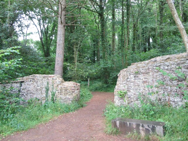
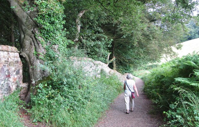
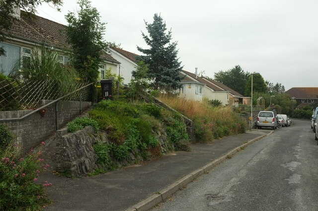
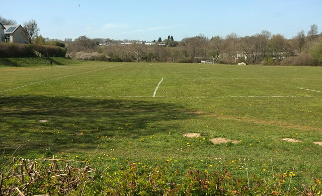
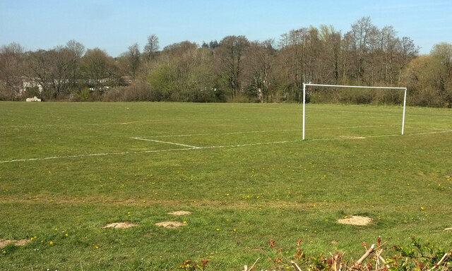
North Wood is a picturesque forest located in Devon, England. Covering an expansive area of approximately 500 acres, this woodland is a haven for nature enthusiasts and outdoor lovers. With its serene atmosphere and abundant wildlife, North Wood offers visitors a unique and memorable experience.
The forest is predominantly composed of native tree species such as oak, beech, and ash, creating a diverse and enchanting landscape. The towering trees provide a natural canopy, allowing dappled sunlight to filter through and create a captivating play of light and shadow on the forest floor.
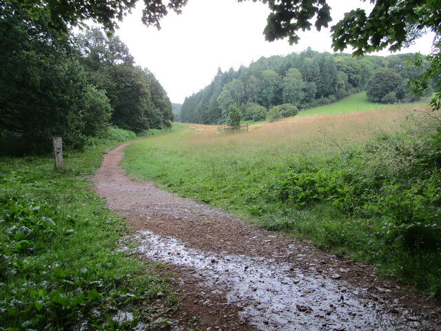
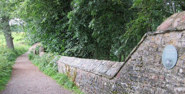
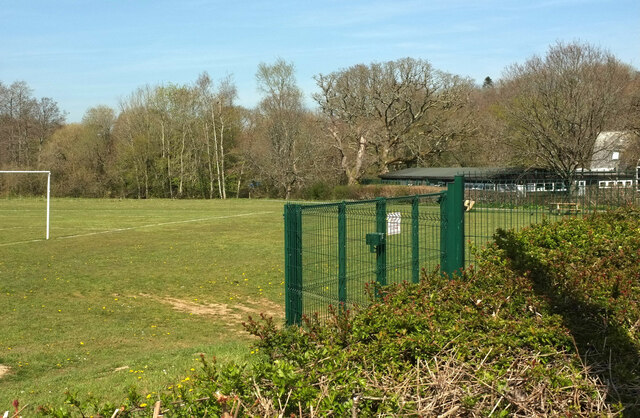
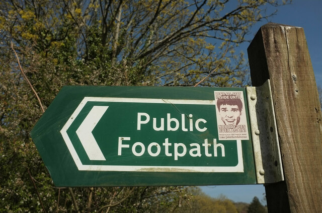
North Wood boasts a network of well-maintained trails, making it an ideal destination for walking, hiking, and cycling. These paths lead visitors through various terrains, including rolling hills, tranquil meadows, and bubbling streams, offering stunning views at every turn.
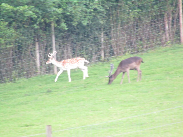
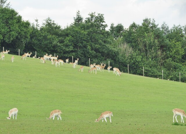
The wood is also home to a remarkable array of flora and fauna. Wildflowers, such as bluebells and primroses, carpet the forest floor during the spring months, creating a vibrant and colorful display. Birdwatchers will be delighted by the diverse avian population that inhabits the wood, including species like woodpeckers, owls, and warblers.
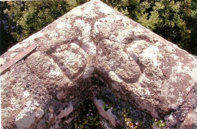
In addition to its natural beauty, North Wood also has historical significance. It is believed to have been used as a hunting ground by the ancient Romans, and remnants of their presence can still be found within the forest.
Overall, North Wood is a captivating destination that offers visitors a chance to immerse themselves in the beauty of nature while exploring its rich history.
If you have any feedback on the listing, please let us know in the comments section below.
North Wood Images
Images are sourced within 2km of 50.457868/-3.7110453 or Grid Reference SX7863. Thanks to Geograph Open Source API. All images are credited.

North Wood is located at Grid Ref: SX7863 (Lat: 50.457868, Lng: -3.7110453)
Administrative County: Devon
District: South Hams
Police Authority: Devon and Cornwall
What 3 Words
///popped.commuted.magpie. Near Totnes, Devon
Nearby Locations
Related Wikis
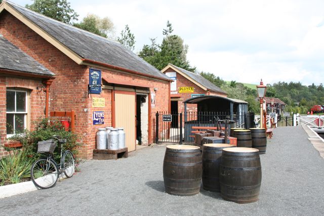
Staverton railway station
Staverton railway station is situated on the South Devon Railway, a heritage railway in Devon, England. It serves the village of Staverton. == History... ==

South Devon Railway (heritage railway)
The South Devon Railway (SDR) is a 6.64-mile (10.69 km) heritage railway from Totnes to Buckfastleigh in Devon. Mostly running alongside the River Dart...

Nappers Halt railway station
Nappers Halt railway station is situated on the South Devon Railway, a heritage railway in Devon, England. It serves the Sea Trout Inn, near Staverton...

Dartington
Dartington is a village in Devon, England. Its population is 876. The electoral ward of Dartington includes the surrounding area and had a population of...
Nearby Amenities
Located within 500m of 50.457868,-3.7110453Have you been to North Wood?
Leave your review of North Wood below (or comments, questions and feedback).