West Down Plantation

Wood, Forest in Devon South Hams

England

West Down Plantation

Road junction at Totnes Cross
Road junction at Totnes Cross Credit: Roy Hughes

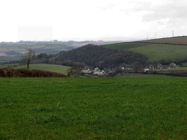
West Down Plantation is a charming woodland estate located in Devon, England. Spread across a vast area, this picturesque plantation offers a serene and tranquil environment amidst the lush greenery of the forest. The plantation is situated in the heart of Devon, surrounded by rolling hills and breathtaking landscapes.

The woodland in West Down Plantation is rich with a diverse range of trees, including oak, beech, and chestnut, creating a vibrant and colorful canopy throughout the year. The plantation is well-maintained, with designated walking trails that allow visitors to explore the natural beauty of the forest at their own pace.

Aside from the stunning natural surroundings, West Down Plantation also boasts a variety of wildlife. Visitors can expect to encounter various species of birds, small mammals, and even rare wildflowers during their visit. The plantation is committed to conservation and preserving the natural habitat, ensuring a harmonious coexistence between humans and nature.

In addition to its natural beauty, West Down Plantation offers recreational activities for visitors. The estate provides facilities for camping, picnicking, and nature photography, allowing visitors to immerse themselves in the tranquil environment. The plantation also hosts educational programs and guided tours, providing an opportunity for visitors to learn about the history, ecology, and conservation efforts of the area.

West Down Plantation is a haven for nature lovers and outdoor enthusiasts seeking respite from the hustle and bustle of everyday life. With its stunning woodland, diverse wildlife, and recreational activities, it offers a captivating experience for visitors of all ages.

If you have any feedback on the listing, please let us know in the comments section below.

West Down Plantation Images

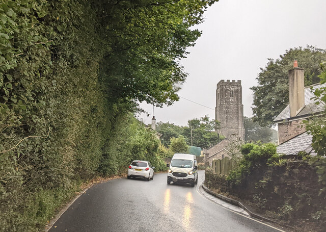
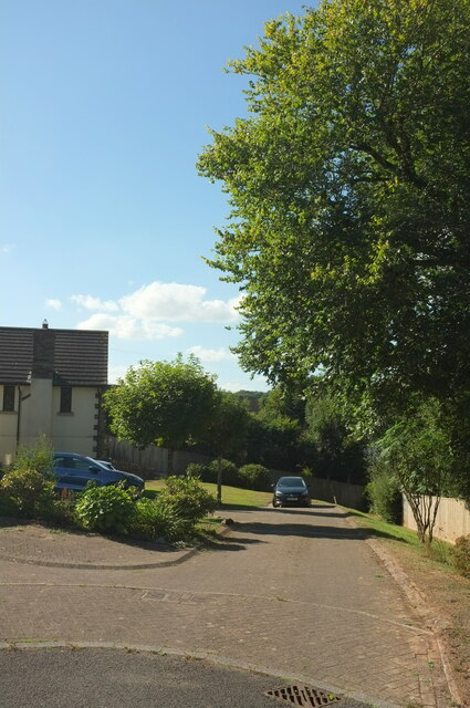
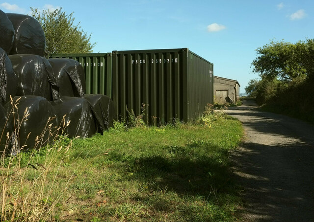
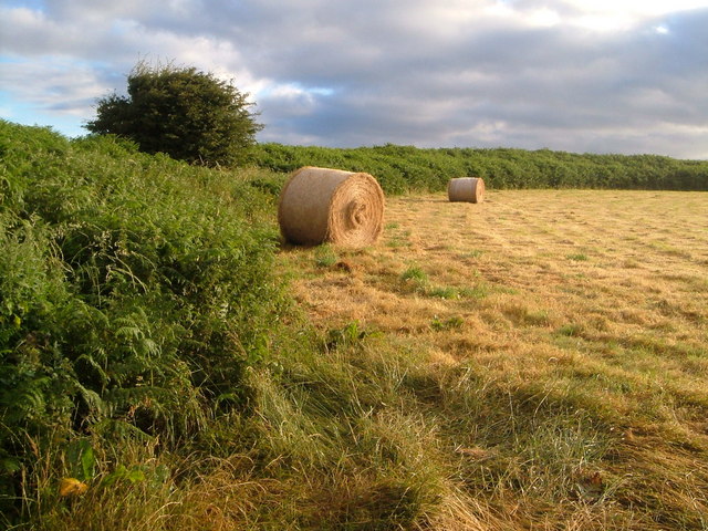
Images are sourced within 2km of 50.351581/-3.7072209 or Grid Reference SX7851. Thanks to Geograph Open Source API. All images are credited.

Road junction at Totnes Cross
Approaching Halwell on the A381, heading south
Filling station at Totnes Corner on the A381
Field near Ritson From the lane past Higher Ritson Farm.
Field near Ritson
From the lane past Higher Ritson Farm.
Brock Hill A stylish modern house near Higher Ritson Farm.
Brock Hill
A stylish modern house near Higher Ritson Farm.
On the A381, heading south
On the A381 heading south
Crocadon Meadow, Halwell A cul-de-sac on the estate on the east side of the village.
Crocadon Meadow, Halwell
A cul-de-sac on the estate on the east side of the village.
Crocadon Meadow, Halwell Looking in the other direction from <a href="https://www.geograph.org.uk/photo/7273029">SX7753 : Crocadon Meadow, Halwell</a>.
Crocadon Meadow, Halwell
Looking in the other direction from SX7753 : Crocadon Meadow, Halwell.
Lane near Ritson Approaching its junction with the A381.
Lane near Ritson
Approaching its junction with the A381.
Field near Ritson On the other side of the lane from <a href="https://www.geograph.org.uk/photo/7269324">SX7752 : Field near Ritson</a>.
Field near Ritson
On the other side of the lane from SX7752 : Field near Ritson.
Field near Ritson Looking right from <a href="https://www.geograph.org.uk/photo/7269324">SX7752 : Field near Ritson</a>.
Field near Ritson
Looking right from SX7752 : Field near Ritson.
Farmyard entrance near Ritson Off the lane past Brock Hill.
Farmyard entrance near Ritson
Off the lane past Brock Hill.
Lane near Ritson Looking left from <a href="https://www.geograph.org.uk/photo/7273148">SX7751 : Farmyard entrance near Ritson</a>.
Lane near Ritson
Lane near Ritson Looking in the other direction from <a href="https://www.geograph.org.uk/photo/7273163">SX7752 : Lane near Ritson</a>.
Lane near Ritson
Looking in the other direction from SX7752 : Lane near Ritson.
Field boundary, Collaton An interesting variety of pieces making up this field boundary just north of the farming hamlet, especially compared to <a href="https://www.geograph.org.uk/photo/5550690">SX7952 : Collaton</a> which shows the same gate.
Field boundary, Collaton
An interesting variety of pieces making up this field boundary just north of the farming hamlet, especially compared to SX7952 : Collaton which shows the same gate.
Moreleigh calves Calves in a field just off the A381.
Moreleigh calves
Calves in a field just off the A381.
Halwell from near Moreleigh, South Devon The small village of Halwell lies beside the busy A381 (Totnes to Kingsbridge). This photo shows how it nestles in the valley below the higher ground near Moreleigh.
Halwell from near Moreleigh, South Devon
The small village of Halwell lies beside the busy A381 (Totnes to Kingsbridge). This photo shows how it nestles in the valley below the higher ground near Moreleigh.
Show me another place!

West Down Plantation is located at Grid Ref: SX7851 (Lat: 50.351581, Lng: -3.7072209)

Administrative County: Devon

District: South Hams

Police Authority: Devon and Cornwall

What 3 Words

///wooden.flap.baseballs. Near Stoke Gabriel, Devon

Related Wikis

Stanborough

Stanborough is the site of an Iron Age hill fort near the village of Halwell, south of Totnes, Devon, England. The fort is situated on a promontory on...

Halwell Camp

Halwell Camp is an Iron Age hill fort situated close to the village of Halwell in Devon, England. The fort is situated on a pass between two hilltops to...

Halwell

Halwell is a village, former parish and former manor, now in the parish of Halwell and Moreleigh, in the South Hams district, in the county of Devon, England...

Blackawton

Blackawton is a village and civil parish in the South Hams district of Devon, England. According to the 2001 census, it had a population of 647. Blackawton...

Nearby Amenities

Located within 500m of 50.351581,-3.7072209
Generator Method: photovoltaic
Generator Output Electricity: yes
Generator Source: solar
Generator Type: solar_photovoltaic_panel
Location: roof
Power: generator
Lat/Long: 50.3472243/-3.708052
Generator Method: photovoltaic
Generator Output Electricity: yes
Generator Source: solar
Generator Type: solar_photovoltaic_panel
Location: roof
Power: generator
Lat/Long: 50.3478113/-3.7106591
Generator Method: photovoltaic
Generator Output Electricity: yes
Generator Source: solar
Generator Type: solar_photovoltaic_panel
Location: roof
Power: generator
Lat/Long: 50.3477797/-3.7107517
The data included in this document is from www.openstreetmap.org. The data is made available under ODbL.

Have you been to West Down Plantation?

Leave your review of West Down Plantation below (or comments, questions and feedback).