Huxham's Cross Estate
Settlement in Devon South Hams
England
Huxham's Cross Estate
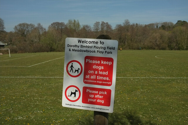
Huxham's Cross Estate is a historic estate located in Devon, England. Situated on the outskirts of the village of Huxham, the estate spans over several acres of picturesque countryside. The estate is known for its stunning natural beauty and rich cultural heritage, attracting visitors from near and far.
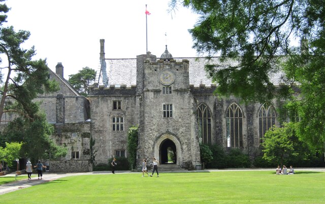
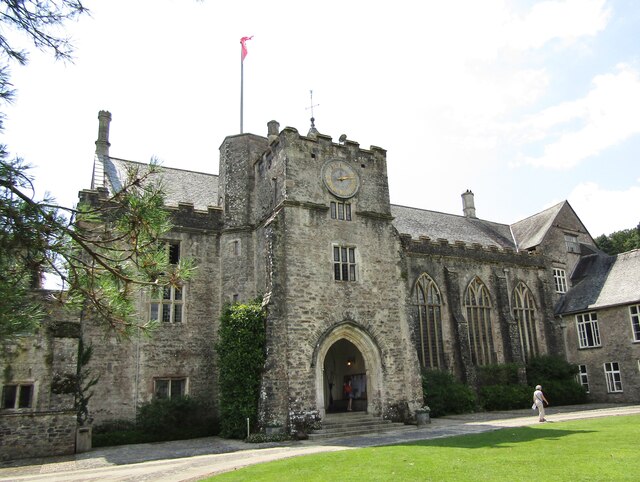
The centerpiece of Huxham's Cross Estate is the grand manor house, which dates back to the 17th century. This impressive building showcases classic architectural features and has been lovingly restored to its former glory. The manor house is surrounded by meticulously landscaped gardens, including manicured lawns, vibrant flower beds, and serene ponds.
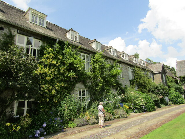
In addition to the manor house, Huxham's Cross Estate boasts a number of charming cottages and outbuildings that have been converted into holiday accommodations. These cottages offer a unique opportunity for visitors to experience the charm and tranquility of the estate firsthand.
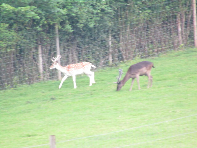
The estate is also home to a working farm, which adds to its rural appeal. Visitors can witness traditional farming practices, see a variety of livestock, and even purchase locally sourced produce.
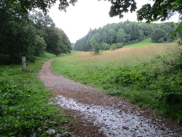
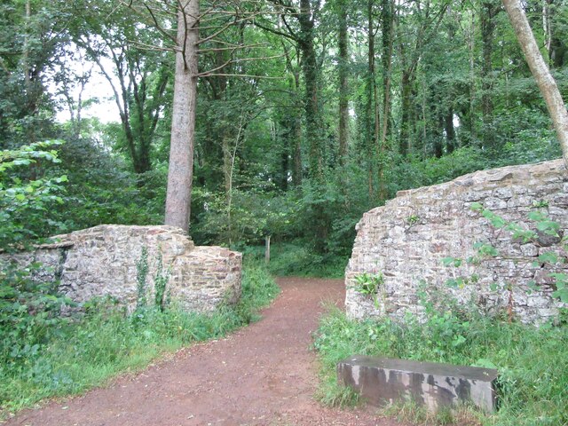
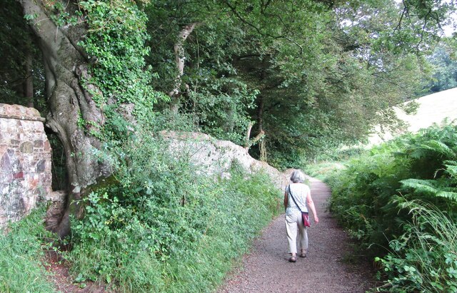
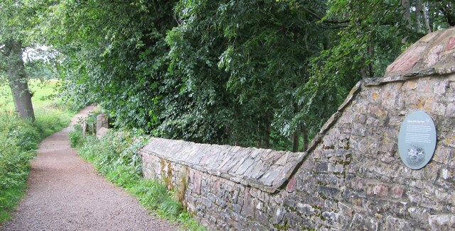
For those seeking outdoor activities, Huxham's Cross Estate offers ample opportunities for walking, cycling, and exploring the surrounding countryside. The estate is crisscrossed with well-maintained footpaths and trails, allowing visitors to immerse themselves in the natural beauty of the area.
Overall, Huxham's Cross Estate offers a delightful blend of history, natural beauty, and rural charm, making it a must-visit destination for tourists and locals alike.
If you have any feedback on the listing, please let us know in the comments section below.
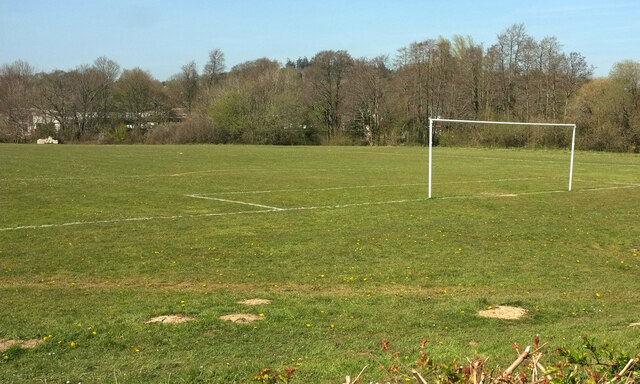
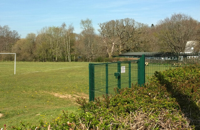
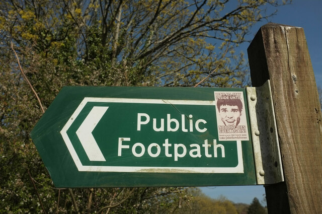
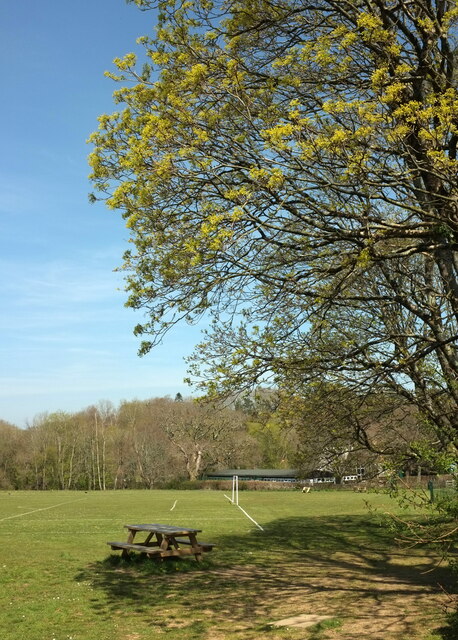
Huxham's Cross Estate Images
Images are sourced within 2km of 50.455059/-3.7149167 or Grid Reference SX7863. Thanks to Geograph Open Source API. All images are credited.

Huxham's Cross Estate is located at Grid Ref: SX7863 (Lat: 50.455059, Lng: -3.7149167)
Administrative County: Devon
District: South Hams
Police Authority: Devon and Cornwall
What 3 Words
///hazelnuts.scrapping.overnight. Near Totnes, Devon
Nearby Locations
Related Wikis

South Devon Railway (heritage railway)
The South Devon Railway (SDR) is a 6.64-mile (10.69 km) heritage railway from Totnes to Buckfastleigh in Devon. Mostly running alongside the River Dart...

Dartington
Dartington is a village in Devon, England. Its population is 876. The electoral ward of Dartington includes the surrounding area and had a population of...
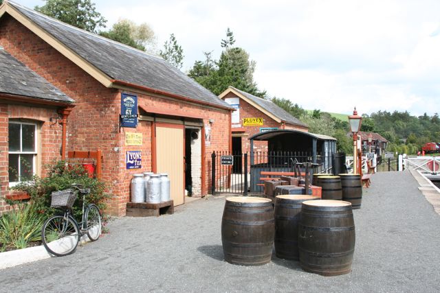
Staverton railway station
Staverton railway station is situated on the South Devon Railway, a heritage railway in Devon, England. It serves the village of Staverton. == History... ==

Nappers Halt railway station
Nappers Halt railway station is situated on the South Devon Railway, a heritage railway in Devon, England. It serves the Sea Trout Inn, near Staverton...
Nearby Amenities
Located within 500m of 50.455059,-3.7149167Have you been to Huxham's Cross Estate?
Leave your review of Huxham's Cross Estate below (or comments, questions and feedback).