Staverton Br
Heritage Site in Devon
England
Staverton Br

Staverton Bridge, located in Devon, England, is a historic heritage site that dates back to the 14th century. Spanning the River Dart, this picturesque stone bridge is surrounded by stunning countryside, making it a popular destination for both locals and tourists.
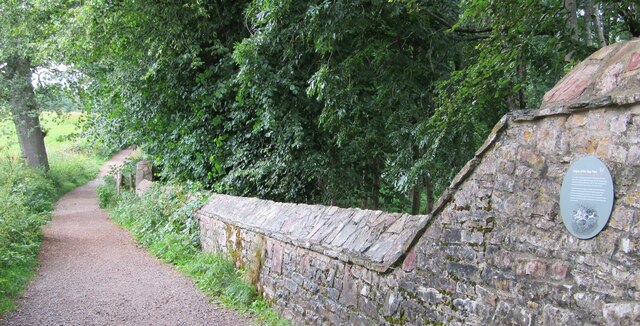
The bridge itself is a prime example of medieval architecture, featuring three arches and sturdy stone walls. It was originally constructed to facilitate the transportation of goods and people across the river, connecting the villages of Staverton and Landscove. Over the centuries, the bridge has undergone several repairs and renovations to maintain its structural integrity.
One of the most notable features of Staverton Bridge is the packhorse parapet. This unique addition was built on the bridge in the 17th century to provide a safe passage for packhorses, which were commonly used for transporting goods in the region. This parapet is a testament to the bridge's historical significance and its role in the local economy.
Surrounded by idyllic countryside, Staverton Bridge offers a tranquil setting for visitors. The river flowing beneath the bridge adds to its charm, creating a picturesque spot for photography and leisurely walks. The bridge is also conveniently located near Staverton Railway Station, providing easy access for those traveling by train.
Staverton Bridge holds great cultural and historical value, reflecting the architectural prowess of the medieval period. Its enduring beauty and functionality have made it a beloved landmark in Devon, attracting visitors who appreciate its rich heritage and the natural beauty of the surrounding landscape.
If you have any feedback on the listing, please let us know in the comments section below.
Staverton Br Images
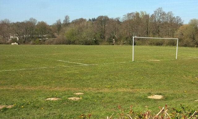
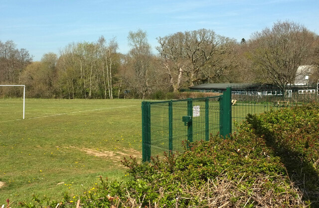
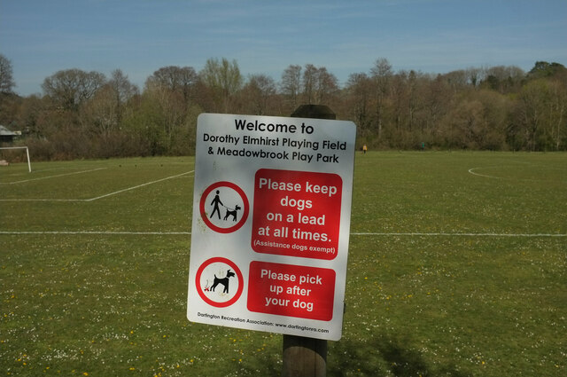
Images are sourced within 2km of 50.458/-3.712 or Grid Reference SX7863. Thanks to Geograph Open Source API. All images are credited.


Staverton Br is located at Grid Ref: SX7863 (Lat: 50.458, Lng: -3.712)
Police Authority: Devon and Cornwall
What 3 Words
///keys.confronts.romance. Near Totnes, Devon
Nearby Locations
Related Wikis
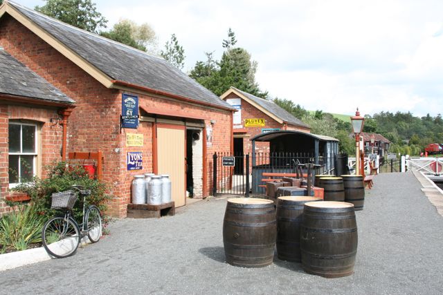
Staverton railway station
Staverton railway station is situated on the South Devon Railway, a heritage railway in Devon, England. It serves the village of Staverton. == History... ==

South Devon Railway (heritage railway)
The South Devon Railway (SDR) is a 6.64-mile (10.69 km) heritage railway from Totnes to Buckfastleigh in Devon. Mostly running alongside the River Dart...

Nappers Halt railway station
Nappers Halt railway station is situated on the South Devon Railway, a heritage railway in Devon, England. It serves the Sea Trout Inn, near Staverton...

Dartington
Dartington is a village in Devon, England. Its population is 876. The electoral ward of Dartington includes the surrounding area and had a population of...
Nearby Amenities
Located within 500m of 50.458,-3.712Have you been to Staverton Br?
Leave your review of Staverton Br below (or comments, questions and feedback).