Abham Copse
Wood, Forest in Devon South Hams
England
Abham Copse
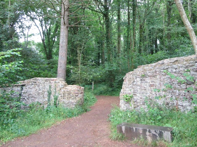
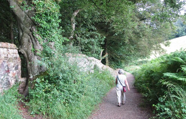
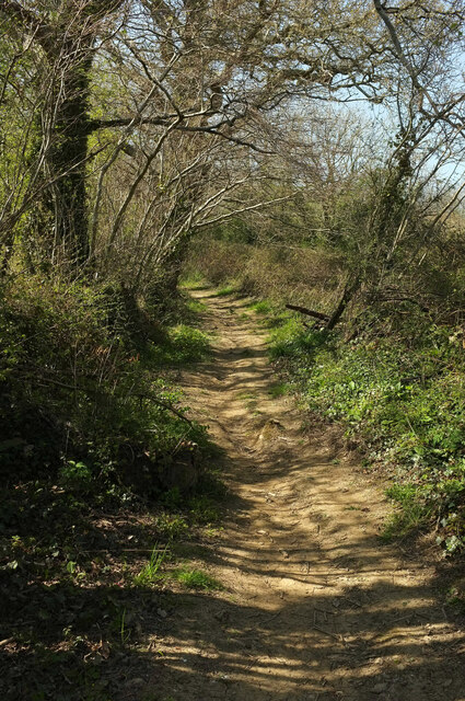
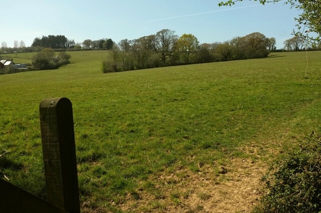
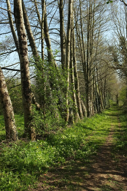
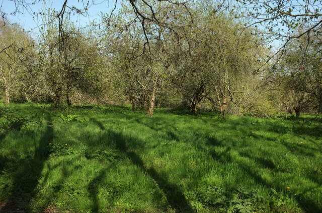
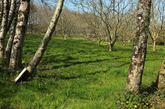
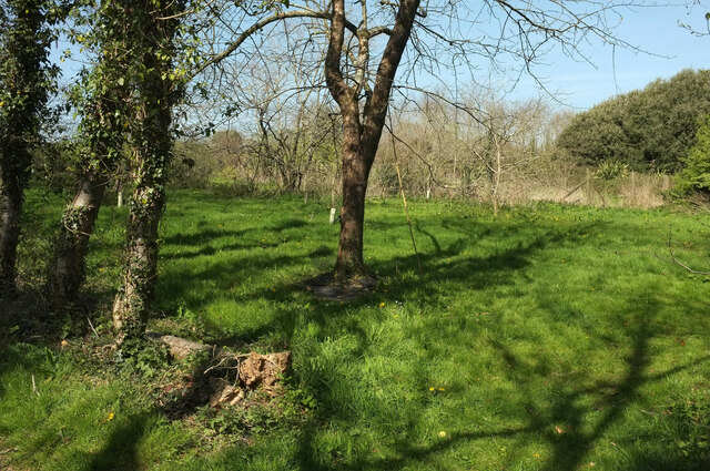
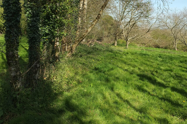
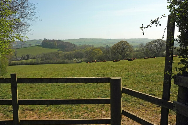
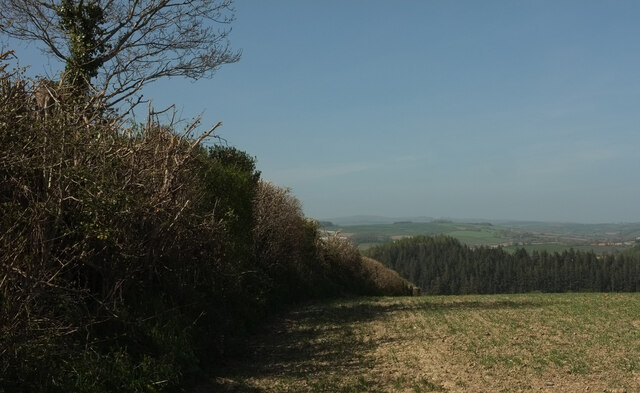
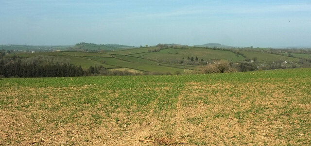
Abham Copse is a picturesque woodland located in the county of Devon, England. Covering an area of approximately 50 acres, it is situated in the south-eastern part of the county, near the village of Abham. The copse is characterized by its diverse range of tree species and abundant wildlife, making it a popular destination for nature enthusiasts and hikers.
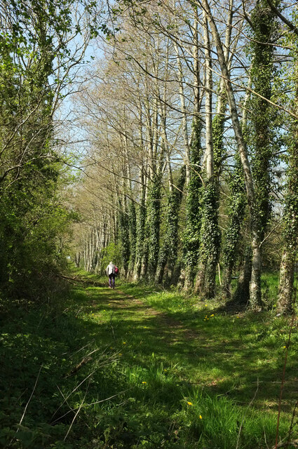
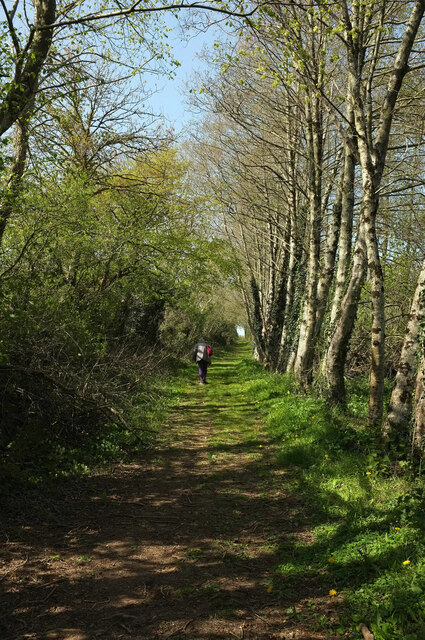
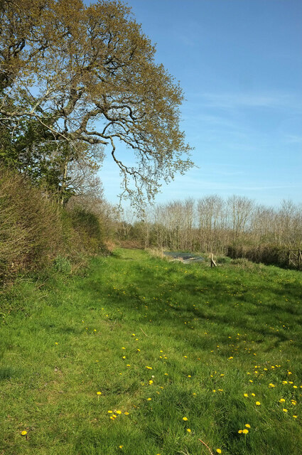
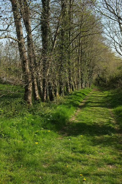
The woodland is predominantly made up of deciduous trees, including oak, beech, and ash, which create a stunning tapestry of colors during the autumn months. These towering trees provide a dense canopy, offering shade and shelter to the various flora and fauna that call Abham Copse their home.
Walking through the copse, visitors can expect to encounter a wide range of wildlife. Squirrels scurry through the branches, while a chorus of bird songs fills the air. Woodpeckers can often be spotted hammering away at tree trunks, searching for insects, and the occasional deer can be seen grazing in the peaceful clearings.
Trails wind their way through the woodland, offering visitors the opportunity to explore its natural beauty. These paths are well-maintained and suitable for all fitness levels, making Abham Copse an accessible destination for a leisurely stroll or a more challenging hike.
Overall, Abham Copse is a tranquil and enchanting woodland that showcases the natural beauty of Devon. Whether you are a nature lover, a photographer, or simply seeking a peaceful retreat, this forested haven is sure to captivate and inspire.
If you have any feedback on the listing, please let us know in the comments section below.
Abham Copse Images
Images are sourced within 2km of 50.467009/-3.7242405 or Grid Reference SX7764. Thanks to Geograph Open Source API. All images are credited.
Abham Copse is located at Grid Ref: SX7764 (Lat: 50.467009, Lng: -3.7242405)
Administrative County: Devon
District: South Hams
Police Authority: Devon and Cornwall
What 3 Words
///courts.dunes.composed. Near Buckfastleigh, Devon
Nearby Locations
Related Wikis

South Devon Railway (heritage railway)
The South Devon Railway (SDR) is a 6.64-mile (10.69 km) heritage railway from Totnes to Buckfastleigh in Devon. Mostly running alongside the River Dart...
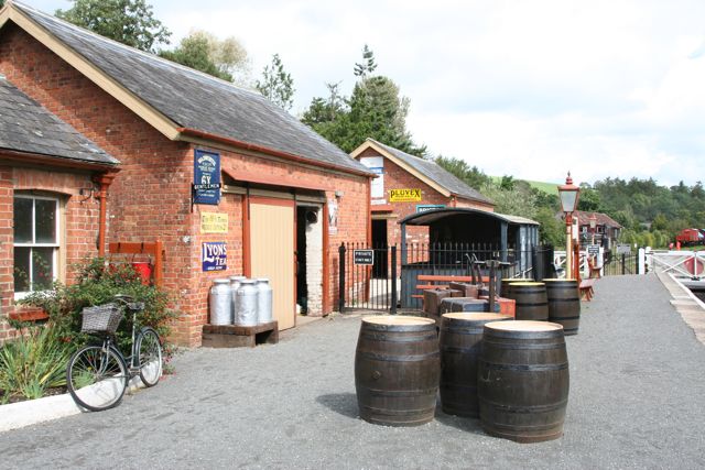
Staverton railway station
Staverton railway station is situated on the South Devon Railway, a heritage railway in Devon, England. It serves the village of Staverton. == History... ==

Nappers Halt railway station
Nappers Halt railway station is situated on the South Devon Railway, a heritage railway in Devon, England. It serves the Sea Trout Inn, near Staverton...

Staverton, Devon
Staverton is a village and civil parish in the South Hams of Devon, England consisting of 297 households and a population of 717 (total parish).There is...

Dartington
Dartington is a village in Devon, England. Its population is 876. The electoral ward of Dartington includes the surrounding area and had a population of...

Dartington Hall
Dartington Hall in Dartington, near Totnes, Devon, England, is an historic house and country estate of 1,200 acres (4.9 km2) dating from medieval times...

Dartington College of Arts
Dartington College of Arts was a specialist arts college located at Dartington Hall in the south-west of England, offering courses at degree and postgraduate...

Soundart Radio
Soundart Radio 102.5 fm is an art radio station based in Dartington, Totnes, Devon, UK. Founded as a student radio station in 2006 by two graduates of...
Nearby Amenities
Located within 500m of 50.467009,-3.7242405Have you been to Abham Copse?
Leave your review of Abham Copse below (or comments, questions and feedback).