Oxlears Plantation
Wood, Forest in Devon Mid Devon
England
Oxlears Plantation
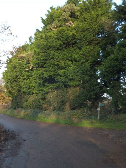
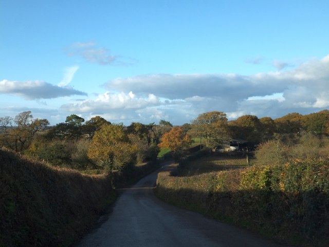
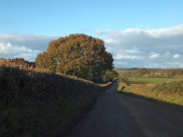
Oxlears Plantation is a picturesque woodland area located in Devon, England. Situated in the heart of the county, this plantation covers a vast area of lush greenery, making it an ideal destination for nature enthusiasts and outdoor lovers.
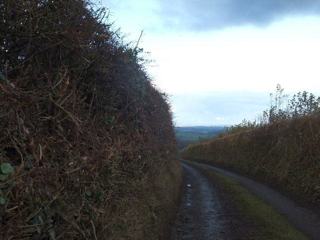
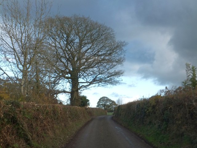
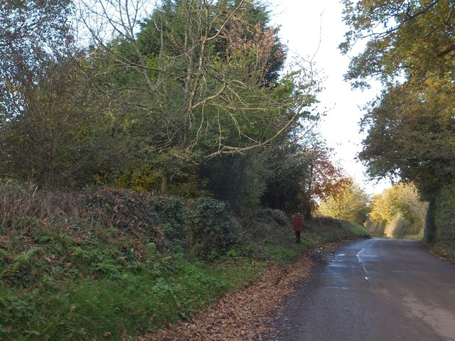
The plantation is primarily composed of a dense forest, boasting a diverse range of trees including oak, beech, and pine, among others. The tall, majestic trees form a canopy, providing shade and shelter for various flora and fauna that call this place home. The forest floor is covered with a thick layer of fallen leaves, creating a serene and peaceful atmosphere.
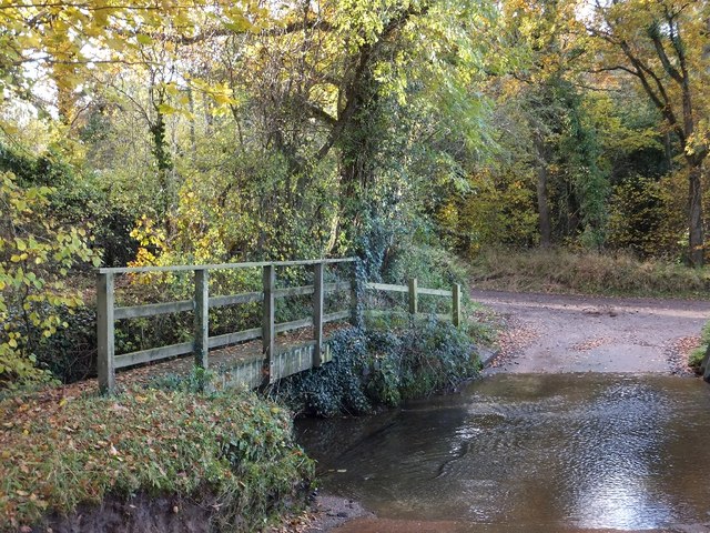
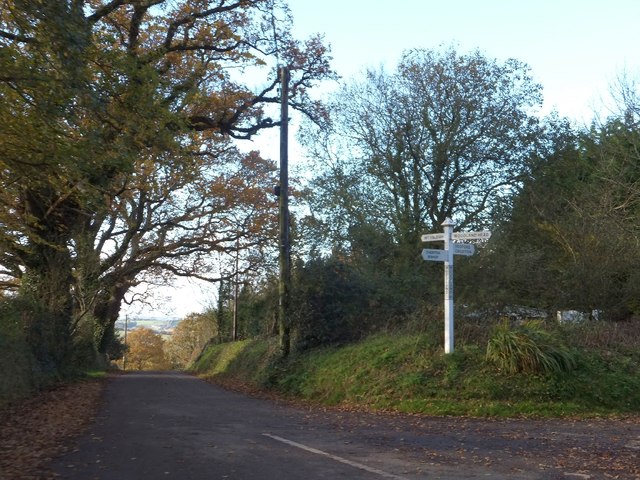
The woodland is crisscrossed with numerous walking trails, allowing visitors to explore its beauty at their own pace. These trails are well-maintained and easily accessible, making it suitable for people of all ages to enjoy. As you venture deeper into the plantation, you will come across babbling brooks, small streams, and even a picturesque pond, adding to the charm of the surroundings.
Oxlears Plantation is not only a haven for nature lovers but also a sanctuary for wildlife. It provides a habitat for a wide range of animal species, including deer, foxes, badgers, and various bird species. Birdwatchers can enjoy spotting woodpeckers, owls, and other feathered friends in their natural habitat.
Visitors to Oxlears Plantation can also partake in activities such as picnicking, birdwatching, photography, or simply immersing themselves in the tranquility of the surroundings. The plantation is open to the public year-round, allowing visitors to experience the changing seasons and the beauty they bring to this enchanting woodland.
If you have any feedback on the listing, please let us know in the comments section below.
Oxlears Plantation Images
Images are sourced within 2km of 50.749562/-3.7345747 or Grid Reference SX7795. Thanks to Geograph Open Source API. All images are credited.


Oxlears Plantation is located at Grid Ref: SX7795 (Lat: 50.749562, Lng: -3.7345747)
Administrative County: Devon
District: Mid Devon
Police Authority: Devon and Cornwall
What 3 Words
///configure.scales.education. Near Copplestone, Devon
Related Wikis
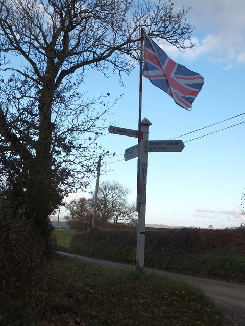
Cheriton Bishop
Cheriton Bishop is a village and civil parish situated on the northern borders of Dartmoor National park between Exeter and Okehampton, in Devon, England...

Crediton Hamlets
Crediton Hamlets is a civil parish in Mid Devon in the English county of Devon. It has a population of 1,307. == References ==

Yeoford
Yeoford () is a village near the town of Crediton in Devon, England. It is served by Yeoford railway station on the Exeter to Barnstaple railway line,...

River Yeo (tributary of the Creedy)
The River Yeo is a tributary to the River Creedy. It is located in Devon, England, and its headwaters float within two miles of a different River Yeo,...

Yeoford railway station
Yeoford railway station is a rural station serving the village of Yeoford in Devon, England. It is on the Tarka Line to Barnstaple, 11 miles 42 chains...

Posbury
Posbury is an ancient estate in Devon, now a hamlet, situated about 2 miles south-west of Crediton and 2 miles north of Tedburn St Mary and 1 mile west...

West Country English
West Country English is a group of English language varieties and accents used by much of the native population of South West England, the area sometimes...

Devon
Devon (/ˈdɛvən/ DEV-ən, historically also known as Devonshire /-ʃɪər, -ʃər/ -sheer, -shər) is a ceremonial county in South West England. It is bordered...
Have you been to Oxlears Plantation?
Leave your review of Oxlears Plantation below (or comments, questions and feedback).