Clay Copse
Wood, Forest in Devon South Hams
England
Clay Copse
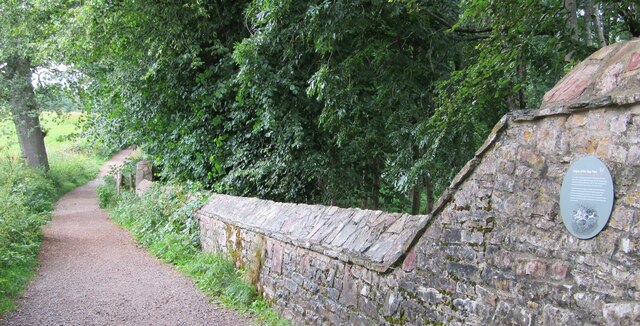
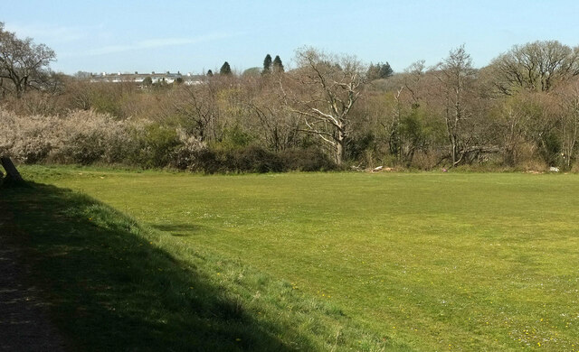
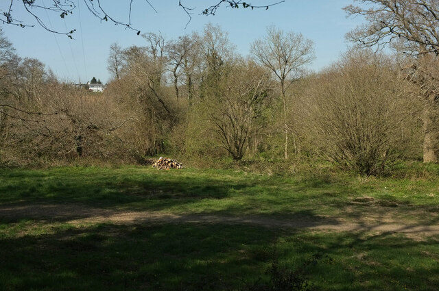
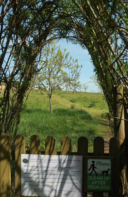
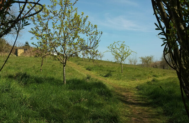
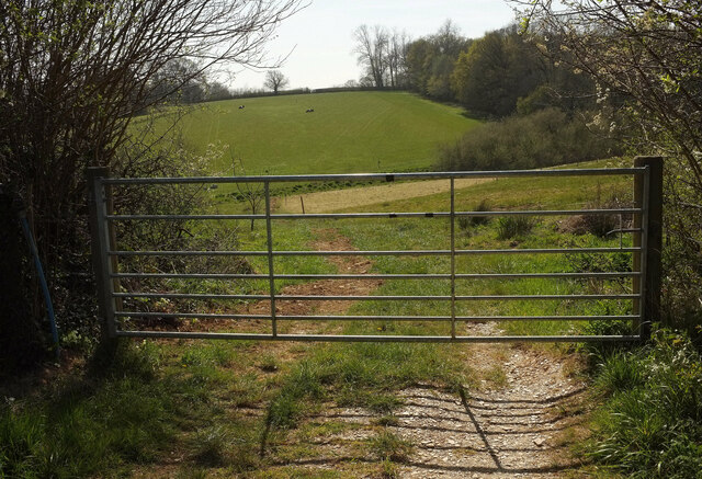
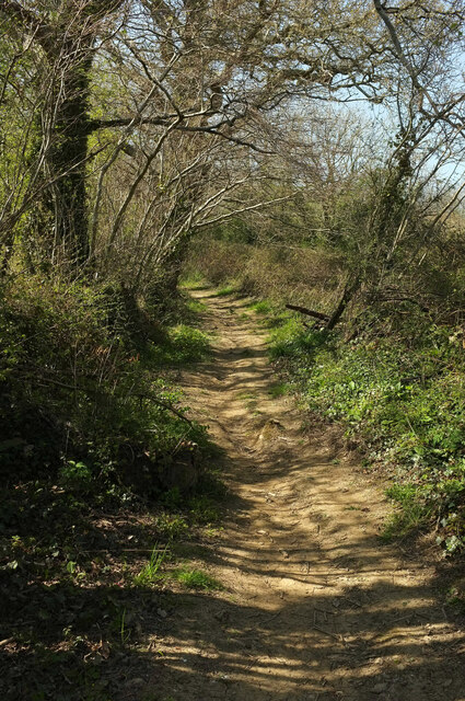
Clay Copse is a scenic woodland area located in Devon, England. Covering an expansive area, this forest is known for its rich biodiversity and natural beauty. The copse is nestled in the heart of the county, surrounded by rolling hills and picturesque landscapes.
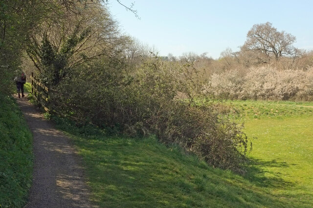
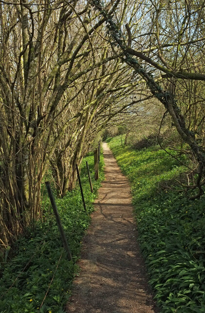
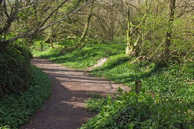
The trees within Clay Copse are primarily deciduous, with a mixture of oak, beech, and ash trees dominating the area. These tall and majestic trees create a dense canopy, providing shade and shelter for a variety of wildlife. The forest floor is covered with a thick layer of leaf litter, which further enhances the natural beauty of the woodland.
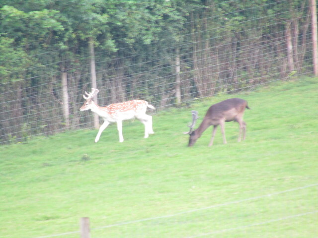
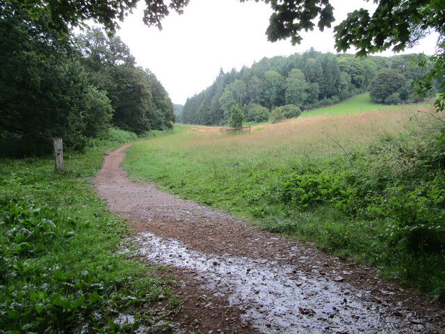
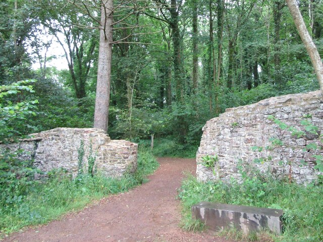
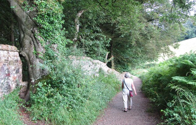
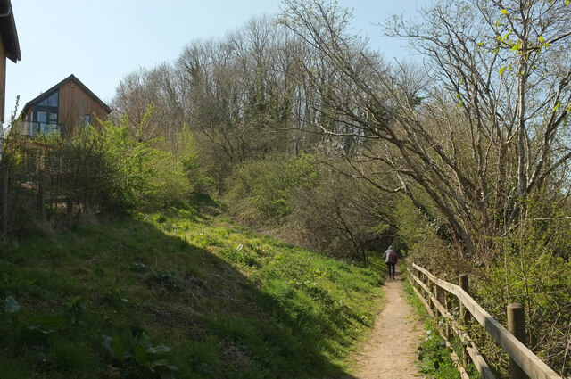
The copse is crisscrossed by a network of well-maintained footpaths, allowing visitors to explore and appreciate the enchanting surroundings. These trails offer opportunities for leisurely walks, hiking, and birdwatching. The forest is home to a diverse range of bird species, including woodpeckers, owls, and various songbirds.
Clay Copse also boasts a small stream that meanders through the forest, adding to its charm. The tranquil sound of running water creates a soothing atmosphere, providing a sense of peace and serenity to those who visit.
The forest is open to the public year-round and is a popular destination for nature lovers, photographers, and families seeking outdoor adventures. Visitors can expect to encounter an array of flora and fauna as they explore the copse, making it an ideal location for nature enthusiasts of all ages.
If you have any feedback on the listing, please let us know in the comments section below.
Clay Copse Images
Images are sourced within 2km of 50.463316/-3.72219 or Grid Reference SX7764. Thanks to Geograph Open Source API. All images are credited.
Clay Copse is located at Grid Ref: SX7764 (Lat: 50.463316, Lng: -3.72219)
Administrative County: Devon
District: South Hams
Police Authority: Devon and Cornwall
What 3 Words
///megawatt.applied.provide. Near Buckfastleigh, Devon
Nearby Locations
Related Wikis

South Devon Railway (heritage railway)
The South Devon Railway (SDR) is a 6.64-mile (10.69 km) heritage railway from Totnes to Buckfastleigh in Devon. Mostly running alongside the River Dart...
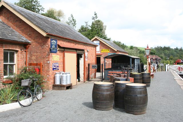
Staverton railway station
Staverton railway station is situated on the South Devon Railway, a heritage railway in Devon, England. It serves the village of Staverton. == History... ==

Nappers Halt railway station
Nappers Halt railway station is situated on the South Devon Railway, a heritage railway in Devon, England. It serves the Sea Trout Inn, near Staverton...

Dartington
Dartington is a village in Devon, England. Its population is 876. The electoral ward of Dartington includes the surrounding area and had a population of...

Staverton, Devon
Staverton is a village and civil parish in the South Hams of Devon, England consisting of 297 households and a population of 717 (total parish).There is...

Dartington Hall
Dartington Hall in Dartington, near Totnes, Devon, England, is an historic house and country estate of 1,200 acres (4.9 km2) dating from medieval times...

Dartington College of Arts
Dartington College of Arts was a specialist arts college located at Dartington Hall in the south-west of England, offering courses at degree and postgraduate...

Soundart Radio
Soundart Radio 102.5 fm is an art radio station based in Dartington, Totnes, Devon, UK. Founded as a student radio station in 2006 by two graduates of...
Nearby Amenities
Located within 500m of 50.463316,-3.72219Have you been to Clay Copse?
Leave your review of Clay Copse below (or comments, questions and feedback).