Bickleigh Copse

Wood, Forest in Devon South Hams

England

Bickleigh Copse

Road junction at Totnes Cross
Road junction at Totnes Cross Credit: Roy Hughes

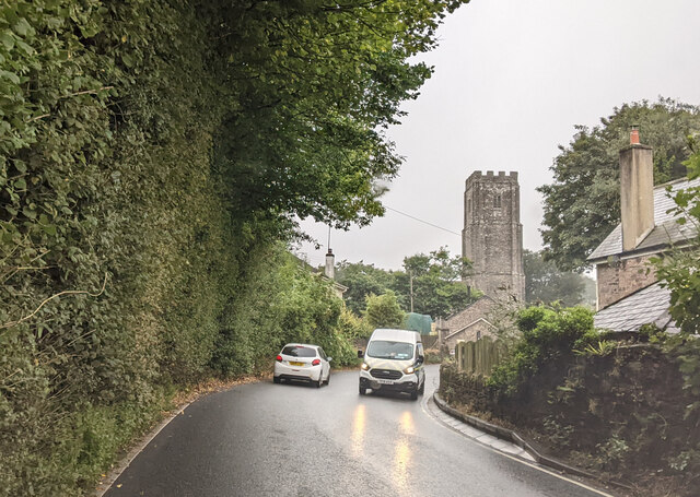
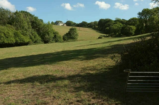
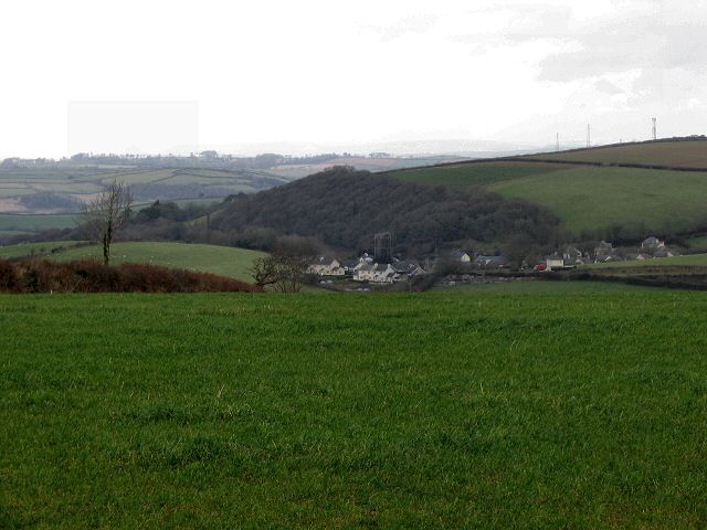
Bickleigh Copse is a picturesque woodland located in Devon, England. Situated near the village of Bickleigh, the copse covers an area of approximately 50 acres and is a popular destination for nature enthusiasts and hikers.

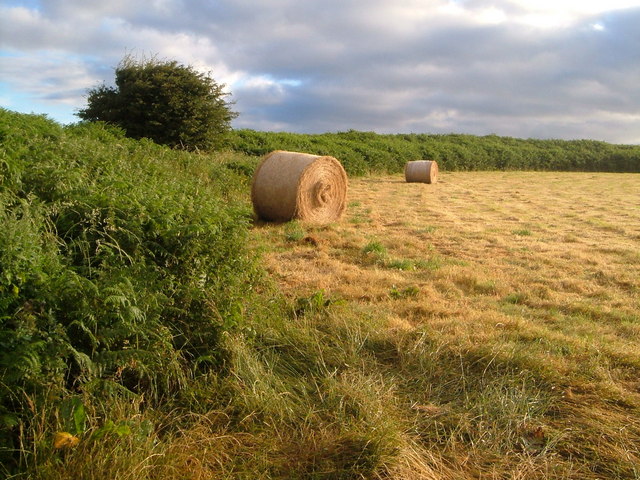
The copse comprises a diverse range of tree species, including oak, beech, ash, and birch, creating a rich and vibrant forest ecosystem. The dense canopy provides a sheltered habitat for a variety of bird species, such as woodpeckers and thrushes, as well as small mammals like squirrels and hedgehogs.

Tranquil walking trails wind through the copse, offering visitors the opportunity to explore the natural beauty of the area. The paths are well-maintained, making them accessible for all skill levels. Along the way, visitors may come across enchanting clearings, where wildflowers bloom during the spring and summer months.

Bickleigh Copse is also known for its historical significance. It is believed to have been used for timber production during the medieval period, contributing to the local economy at the time. Today, remnants of old saw pits and charcoal platforms can still be found, serving as a reminder of the copse's past.

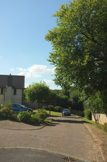
The copse is easily accessible and has a small car park for visitors. It is a popular spot for picnics and offers a peaceful retreat from the bustling city life. With its serene atmosphere, diverse wildlife, and well-preserved history, Bickleigh Copse is a cherished natural gem in the heart of Devon.

If you have any feedback on the listing, please let us know in the comments section below.

Bickleigh Copse Images

Images are sourced within 2km of 50.369683/-3.7207939 or Grid Reference SX7753. Thanks to Geograph Open Source API. All images are credited.

Road junction at Totnes Cross
Approaching Halwell on the A381, heading south
Filling station at Totnes Corner on the A381
Farmland below Bickleigh Farm From the green lane shown in <a href="https://www.geograph.org.uk/photo/1242066">SX7854 : Lane from Bickleigh Farm</a>. Just one barn conversion at the farm is visible; many more farm buildings are hidden.
Farmland below Bickleigh Farm
From the green lane shown in SX7854 : Lane from Bickleigh Farm. Just one barn conversion at the farm is visible; many more farm buildings are hidden.
Field near Ritson From the lane past Higher Ritson Farm.
Field near Ritson
From the lane past Higher Ritson Farm.
Brock Hill A stylish modern house near Higher Ritson Farm.
Brock Hill
A stylish modern house near Higher Ritson Farm.
On the A381, heading south
Junction near Chittlesford The public access route from Bickleigh Farm meets the A381.
Junction near Chittlesford
The public access route from Bickleigh Farm meets the A381.
Public access route to Bickleigh Farm Looking in the other direction from <a href="https://www.geograph.org.uk/photo/7272991">SX7854 : Junction near Chittlesford</a>. <a href="https://www.geograph.org.uk/photo/7269255">SX7854 : Farmland below Bickleigh Farm</a> was taken from the gates.
Public access route to Bickleigh Farm
Looking in the other direction from SX7854 : Junction near Chittlesford. SX7854 : Farmland below Bickleigh Farm was taken from the gates.
Trees below Bickleigh Farm Looking left from <a href="https://www.geograph.org.uk/photo/7269255">SX7854 : Farmland below Bickleigh Farm</a>. The trees at a field boundary junction are almost numerous enough to constitute a spinney.
Trees below Bickleigh Farm
Looking left from SX7854 : Farmland below Bickleigh Farm. The trees at a field boundary junction are almost numerous enough to constitute a spinney.
Crocadon Meadow, Halwell A cul-de-sac on the estate on the east side of the village.
Crocadon Meadow, Halwell
A cul-de-sac on the estate on the east side of the village.
Crocadon Meadow, Halwell Looking in the other direction from <a href="https://www.geograph.org.uk/photo/7273029">SX7753 : Crocadon Meadow, Halwell</a>.
Crocadon Meadow, Halwell
Looking in the other direction from SX7753 : Crocadon Meadow, Halwell.
Lane near Ritson Approaching its junction with the A381.
Lane near Ritson
Approaching its junction with the A381.
Field near Ritson On the other side of the lane from <a href="https://www.geograph.org.uk/photo/7269324">SX7752 : Field near Ritson</a>.
Field near Ritson
On the other side of the lane from SX7752 : Field near Ritson.
Field near Ritson Looking right from <a href="https://www.geograph.org.uk/photo/7269324">SX7752 : Field near Ritson</a>.
Field near Ritson
Looking right from SX7752 : Field near Ritson.
Farmyard entrance near Ritson Off the lane past Brock Hill.
Farmyard entrance near Ritson
Off the lane past Brock Hill.
Lane near Ritson Looking left from <a href="https://www.geograph.org.uk/photo/7273148">SX7751 : Farmyard entrance near Ritson</a>.
Lane near Ritson
Lane near Ritson Looking in the other direction from <a href="https://www.geograph.org.uk/photo/7273163">SX7752 : Lane near Ritson</a>.
Lane near Ritson
Looking in the other direction from SX7752 : Lane near Ritson.
Show me another place!

Bickleigh Copse is located at Grid Ref: SX7753 (Lat: 50.369683, Lng: -3.7207939)

Administrative County: Devon

District: South Hams

Police Authority: Devon and Cornwall

What 3 Words

///euphoric.enjoyable.senior. Near Totnes, Devon

Related Wikis

Halwell

Halwell is a village, former parish and former manor, now in the parish of Halwell and Moreleigh, in the South Hams district, in the county of Devon, England...

Halwell and Moreleigh

Halwell and Moreleigh is a civil parish in the South Hams district, in the county of Devon, England. It comprises the villages of Halwell and Moreleigh...

Halwell Camp

Halwell Camp is an Iron Age hill fort situated close to the village of Halwell in Devon, England. The fort is situated on a pass between two hilltops to...

Moreleigh

Moreleigh or Morleigh (formerly Morley) is a village and former civil parish, now in the parish of Halwell and Moreleigh, in the South Hams, district,...

Stanborough

Stanborough is the site of an Iron Age hill fort near the village of Halwell, south of Totnes, Devon, England. The fort is situated on a promontory on...

Washbourne, Devon

Washbourne is a hamlet in the South Hams in Devon, England, 4 miles (6 km) south of Totnes. It consists of three settlements, Higher Washbourne, Middle...

Allaleigh

Allaleigh is a village in Devon, England.

Woodlands Family Theme Park

Woodlands Family Theme Park is an all-weather family amusement park and falconry display on the A3122 road, 5 miles from Dartmouth, in South Devon, England...

Nearby Amenities

Located within 500m of 50.369683,-3.7207939
Halwell
Is In: Devon, England, UK
Place: village
Lat/Long: 50.3655028/-3.7204048
Defibrillator
Access: yes
Booth: K6
Covered: booth
Defibrillator Location: inside old red phone box, Church Street, Halwell
Disused Amenity: telephone
Emergency: defibrillator
Man Made: telephone_box
Lat/Long: 50.3657595/-3.7202952
Post Box
Brand: Royal Mail
Brand Wikidata: Q638098
Brand Wikipedia: en:Royal Mail
Collection Times: Mo-Fr 16:00; Sa 12:30; Su off
Drive Through: no
Operator: Royal Mail
Operator Wikidata: Q638098
Post Box Design: 2010_pattern
Post Box Mounting: pier
Post Box Type: lamp
Ref: TQ9 68
Royal Cypher: EIIR
Royal Cypher Wikidata: Q33102113
Source: survey;streetlevel imagery;aerial imagery
Lat/Long: 50.3656028/-3.7210257
Bus Stop
The Old Inn (NB)
Lat/Long: 50.3655785/-3.721013
Power: pole
Lat/Long: 50.370357/-3.7144572
Power: pole
Lat/Long: 50.3685966/-3.7159324
Power: pole
Lat/Long: 50.3671834/-3.717083
Power: pole
Lat/Long: 50.3661363/-3.7179387
The data included in this document is from www.openstreetmap.org. The data is made available under ODbL.

Have you been to Bickleigh Copse?

Leave your review of Bickleigh Copse below (or comments, questions and feedback).