Hitchcombe Wood

Wood, Forest in Devon Teignbridge

England

Hitchcombe Wood

Old Boundary Marker beside Scotley Bridge Parish Boundary Marker on the south side of the road at the west end of Scotley Bridge. Inscribed D R and D on opposite faces and BOUNDARY on its side. On the boundary of Drewsteignton and Dunsford parishes.

Milestone Society National ID: DV_DREDUN01pb
Old Boundary Marker beside Scotley Bridge Credit: M Hatton

The requested URL returned error: 429 Too Many Requests

If you have any feedback on the listing, please let us know in the comments section below.

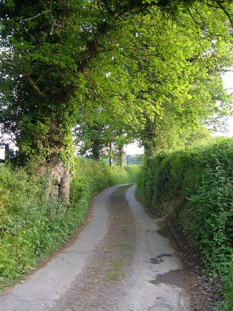
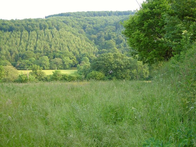
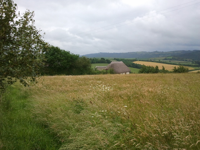
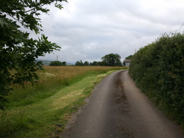
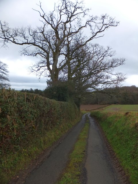
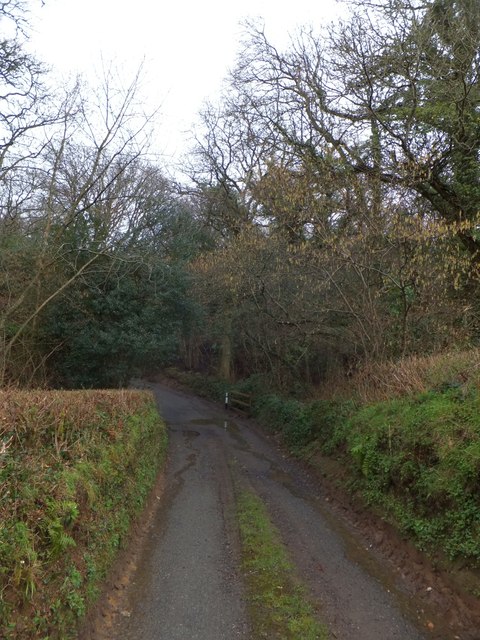
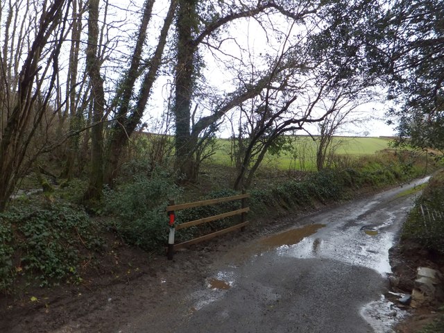
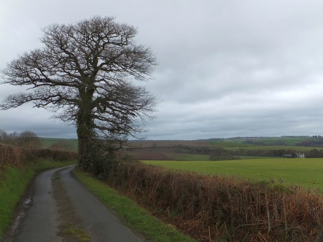
Hitchcombe Wood Images

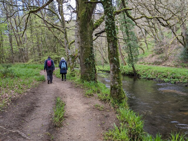
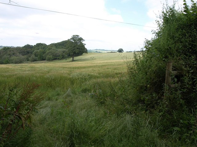
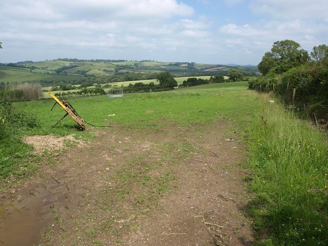
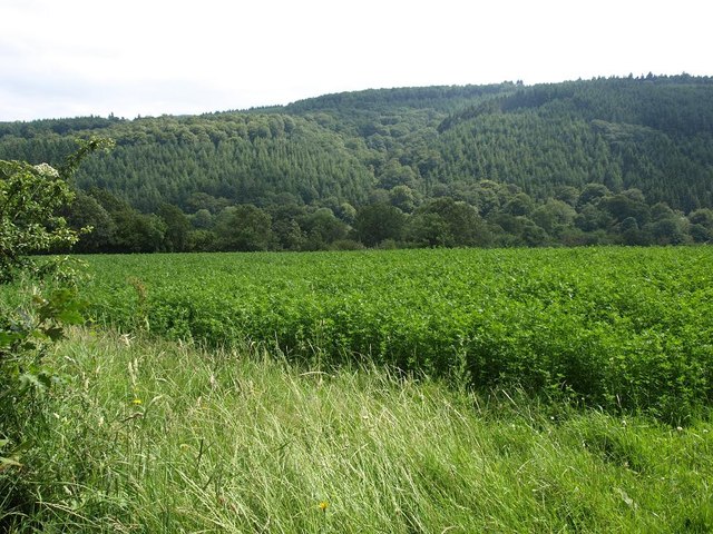
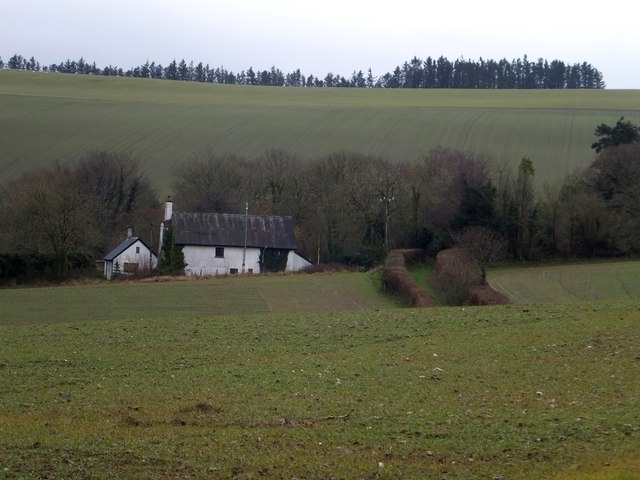
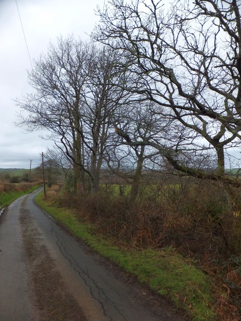
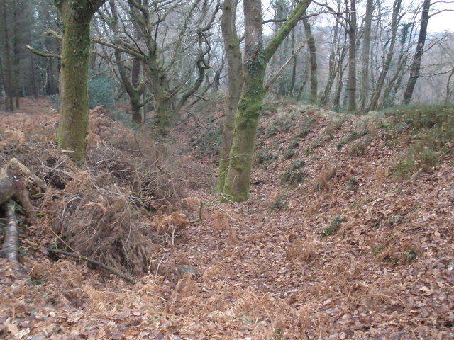
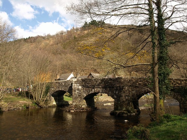
Images are sourced within 2km of 50.693298/-3.7430605 or Grid Reference SX7689. Thanks to Geograph Open Source API. All images are credited.

Old Boundary Marker beside Scotley Bridge Parish Boundary Marker on the south side of the road at the west end of Scotley Bridge. Inscribed D R and D on opposite faces and BOUNDARY on its side. On the boundary of Drewsteignton and Dunsford parishes.

Milestone Society National ID: DV_DREDUN01pb
Old Boundary Marker beside Scotley Bridge
Parish Boundary Marker on the south side of the road at the west end of Scotley Bridge. Inscribed D R and D on opposite faces and BOUNDARY on its side. On the boundary of Drewsteignton and Dunsford parishes. Milestone Society National ID: DV_DREDUN01pb
Walkers next to the river, heading west
Woodbrooke Farm Conversions at the farm, by the lane from Cheriton Bishop to Clifford Bridge.
Woodbrooke Farm
Conversions at the farm, by the lane from Cheriton Bishop to Clifford Bridge.
Ford, Woodbrooke The lane just south of <a href="https://www.geograph.org.uk/photo/2676148">SX7790 : Woodbrooke Farm</a> with a footbridge in case the Scotley Brook is crossing the tarmac. <a href="https://www.geograph.org.uk/photo/183383">SX7790 : Scotley Brook near Woodbrooke Farm</a> was taken looking downstream to the right.
Ford, Woodbrooke
The lane just south of SX7790 : Woodbrooke Farm with a footbridge in case the Scotley Brook is crossing the tarmac. SX7790 : Scotley Brook near Woodbrooke Farm was taken looking downstream to the right.
Lane from Woodbrooke Ford The view behind the camera in <a href="https://www.geograph.org.uk/photo/2676166">SX7790 : Ford, Woodbrooke</a>, with the lane passing oak trees on its way to Wallon.
Lane from Woodbrooke Ford
The view behind the camera in SX7790 : Ford, Woodbrooke, with the lane passing oak trees on its way to Wallon.
Meadow above the Teign Looking from the lane between Upperton and Clifford Bridge down into the Teign valley; the river and the far slopes (Langland Wood) are in <a href="https://www.geograph.org.uk/gridref/SX7789">SX7789</a>.
Meadow above the Teign
Looking from the lane between Upperton and Clifford Bridge down into the Teign valley; the river and the far slopes (Langland Wood) are in SX7789.
Fields and house at East Down
Track heading away from East Down
Meadow next to Broadmoor Cottage
Field close to Upperton
Cropfield close to Wallon crossroads, looking towards the south slopes of the Teign gorge
Ford at Woodbrooke This ford on the Scotley Brook is found below Woodbrooke Farm.
Ford at Woodbrooke
This ford on the Scotley Brook is found below Woodbrooke Farm.
Broadmoor Common Beyond the house and the road that passes it, the common land rises from about 190 metres AOD to 240 metres AOD.  The green lane to the house is a relic from an earlier era.
Broadmoor Common
Beyond the house and the road that passes it, the common land rises from about 190 metres AOD to 240 metres AOD. The green lane to the house is a relic from an earlier era.
Minor road south of Coombe Hall The little-used road drops to the wooded valley of a stream which flows past Coombe Hall
Minor road south of Coombe Hall
The little-used road drops to the wooded valley of a stream which flows past Coombe Hall
The wooded valley of a stream which rises on Broadmoor The beginning of March and there are numerous catkins on the tree - a tree which flourishes on damp ground.
The wooded valley of a stream which rises on Broadmoor
The beginning of March and there are numerous catkins on the tree - a tree which flourishes on damp ground.
Crossing a stream near Broadmoor The stream rises on Broadmoor and flows past Coombe Hall to join the Teign
Crossing a stream near Broadmoor
The stream rises on Broadmoor and flows past Coombe Hall to join the Teign
Lone tree on the road to Greystone Just visible on the right is Coombe Hall in <a href="https://www.geograph.org.uk/gridref/SX7691">SX7691</a>
Lone tree on the road to Greystone
Just visible on the right is Coombe Hall in SX7691
Woodland by the road to Greystone The woodland occupies the angle between two roads, and lines the valley of a small stream
Woodland by the road to Greystone
The woodland occupies the angle between two roads, and lines the valley of a small stream
Show me another place!

Hitchcombe Wood is located at Grid Ref: SX7689 (Lat: 50.693298, Lng: -3.7430605)

Administrative County: Devon

District: Teignbridge

Police Authority: Devon and Cornwall

What 3 Words

///toast.informs.devoured. Near Moretonhampstead, Devon

Related Wikis

Wooston Castle

Wooston Castle is an Iron Age Hill fort situated on the edge of a hill overlooking the Teign Valley in Devon some 200 metres above sea level, only 3 km...

Prestonbury Castle

Prestonbury Castle is an Iron Age Hill fort on the north east edge of Dartmoor in Devon, England. Situated on a massive hilltop some 240 metres above sea...

Fingle Bridge

Fingle Bridge is a 17th-century stone arch bridge carrying an unclassified road over the River Teign near Drewsteignton, within Dartmoor National Park...

Great Fulford

Great Fulford is an historic estate in the parish of Dunsford, Devon. The grade I listed manor house, known as Great Fulford House, is about 9 miles west...

Nearby Amenities

Located within 500m of 50.693298,-3.7430605
Waterway: weir
Lat/Long: 50.696062/-3.743363
Bench
Lat/Long: 50.6965879/-3.7458008
Bench
Lat/Long: 50.6961121/-3.7439984
The data included in this document is from www.openstreetmap.org. The data is made available under ODbL.

Have you been to Hitchcombe Wood?

Leave your review of Hitchcombe Wood below (or comments, questions and feedback).