Ruggadon Plantation
Wood, Forest in Devon South Hams
England
Ruggadon Plantation
The requested URL returned error: 429 Too Many Requests
If you have any feedback on the listing, please let us know in the comments section below.
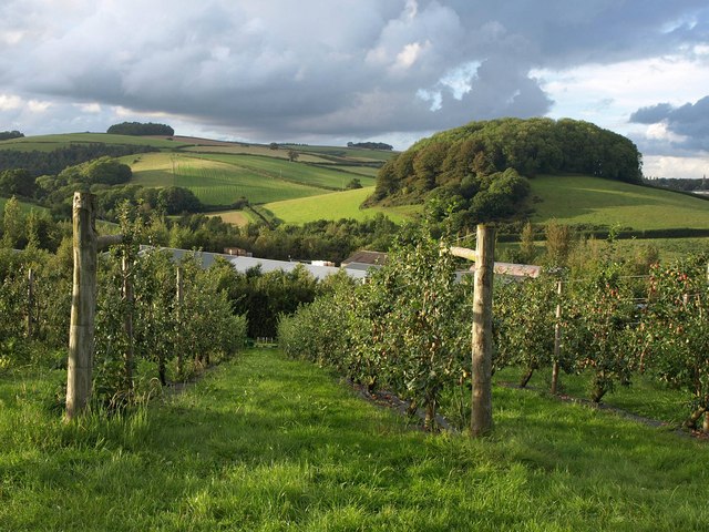
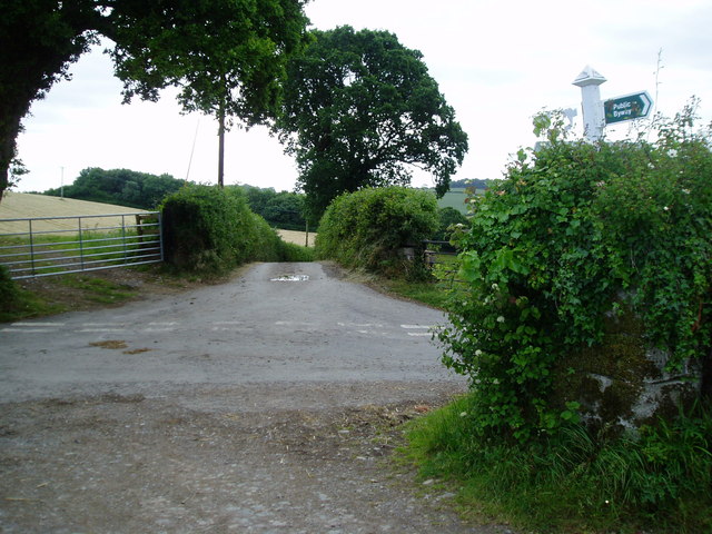
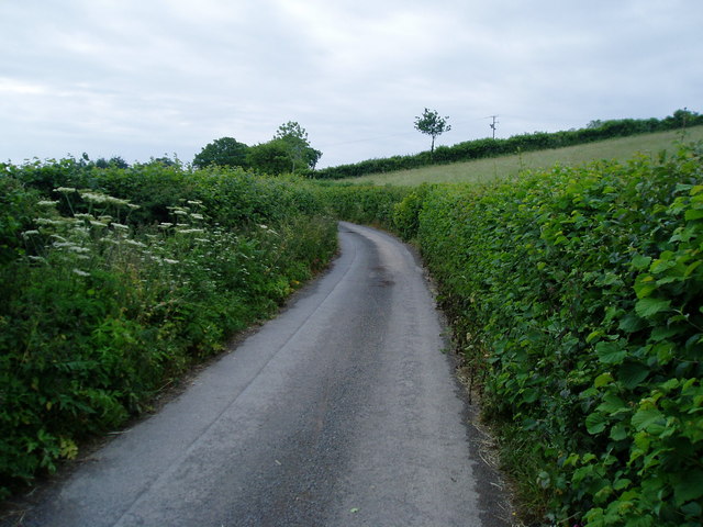
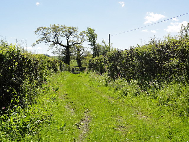
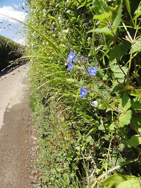
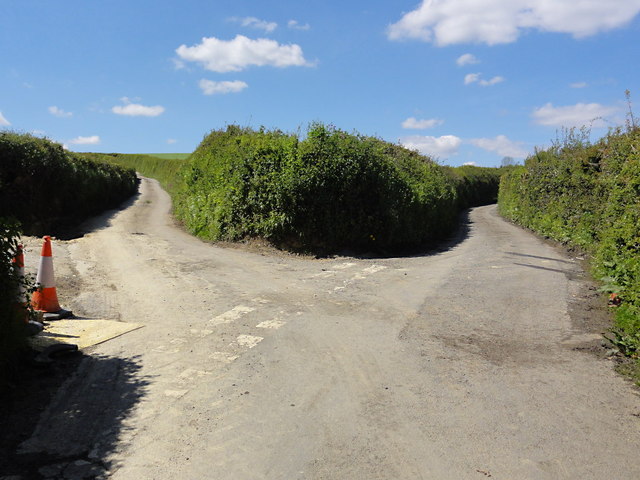
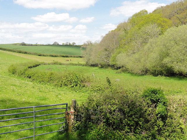
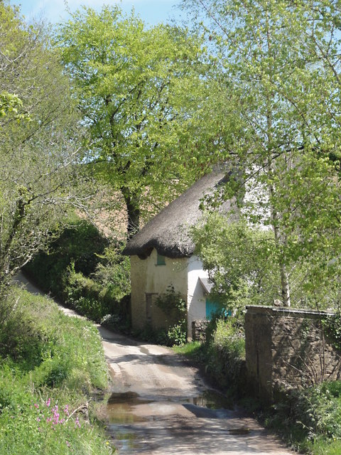
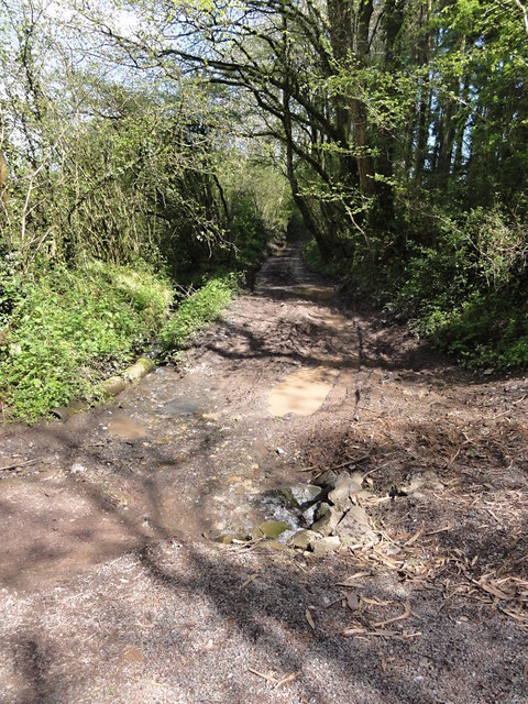
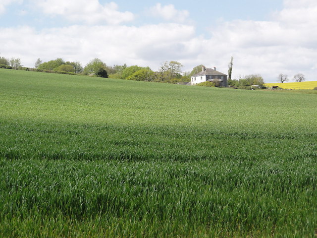
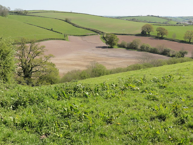
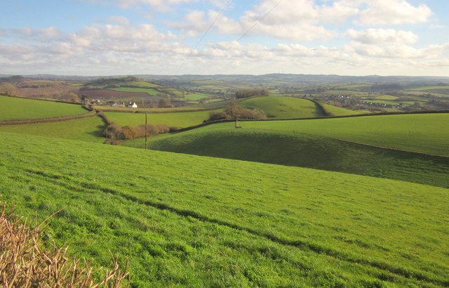
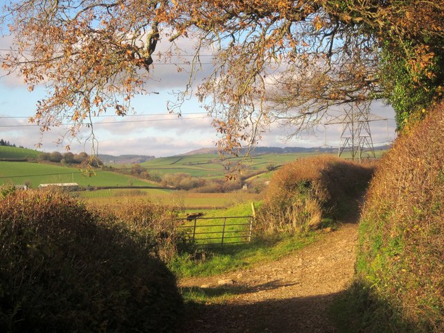
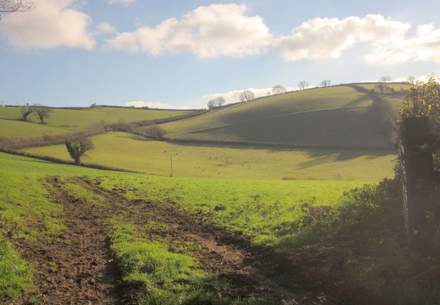
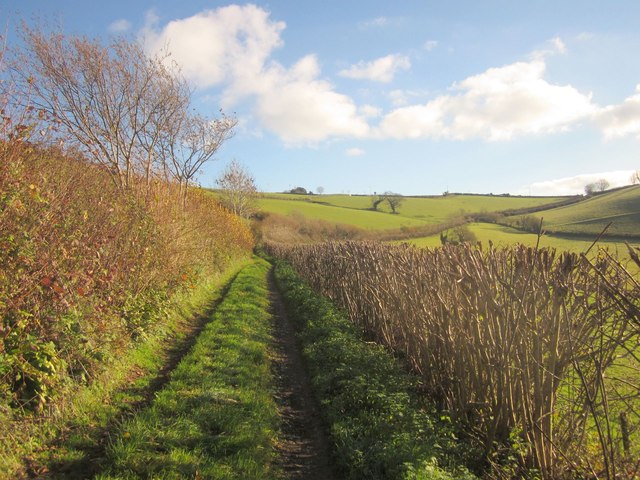
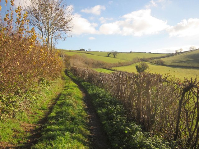
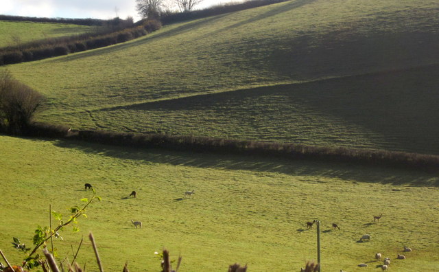
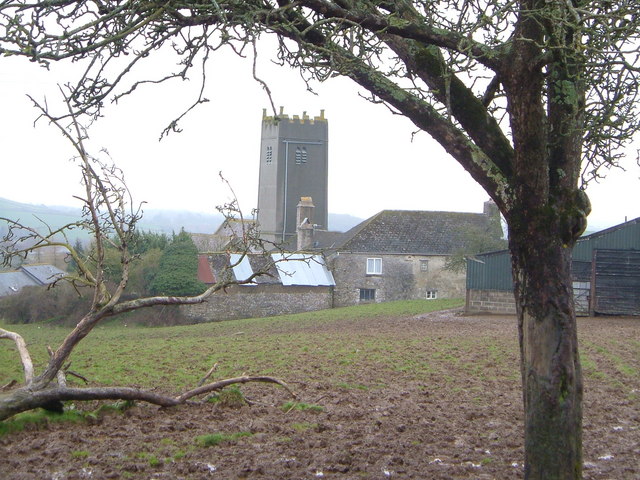
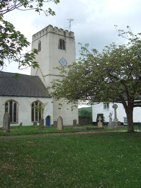
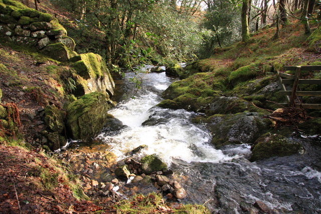
Ruggadon Plantation Images
Images are sourced within 2km of 50.494064/-3.7356308 or Grid Reference SX7667. Thanks to Geograph Open Source API. All images are credited.

Ruggadon Plantation is located at Grid Ref: SX7667 (Lat: 50.494064, Lng: -3.7356308)
Administrative County: Devon
District: South Hams
Police Authority: Devon and Cornwall
What 3 Words
///slurping.crazy.dispose. Near Ashburton, Devon
Nearby Locations
Related Wikis
Woodland, Devon
Woodland is a small hamlet and civil parish in Teignbridge, Devon, England. Its nearest town is Ashburton. == References ==
Denbury and Torbryan
Denbury and Torbryan is a civil parish in Teignbridge, Devon, England. It includes the villages of Denbury and Torbryan. As of 2019, it has a population...

Pridhamsleigh Cavern
Pridhamsleigh Cavern is a cave on the outskirts of Ashburton, Devon, England. It is approximately 1.1 kilometres in length with a total depth of just over...
River Mardle
The River Mardle is a tributary of the River Dart in Devon, England. It rises on Holne Moor on Dartmoor and flows in a generally south-easterly direction...
Nearby Amenities
Located within 500m of 50.494064,-3.7356308Have you been to Ruggadon Plantation?
Leave your review of Ruggadon Plantation below (or comments, questions and feedback).