Upperton Wood

Wood, Forest in Devon West Devon

England

Upperton Wood

Old Boundary Marker beside Scotley Bridge Parish Boundary Marker on the south side of the road at the west end of Scotley Bridge. Inscribed D R and D on opposite faces and BOUNDARY on its side. On the boundary of Drewsteignton and Dunsford parishes.

Milestone Society National ID: DV_DREDUN01pb
Old Boundary Marker beside Scotley Bridge Credit: M Hatton

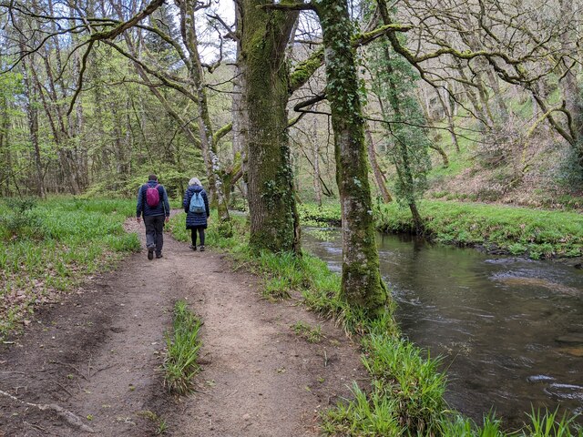
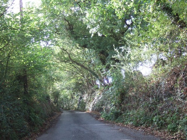
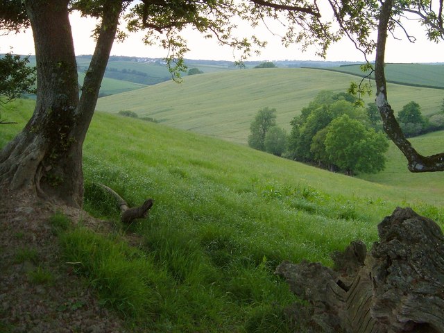
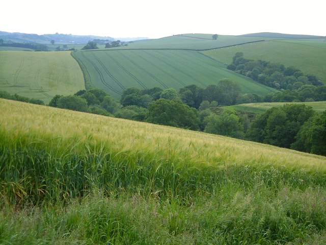
Upperton Wood is a charming woodland located in the county of Devon, England. Covering an area of approximately 100 acres, it is nestled within the picturesque countryside, making it a popular destination for nature lovers and outdoor enthusiasts.

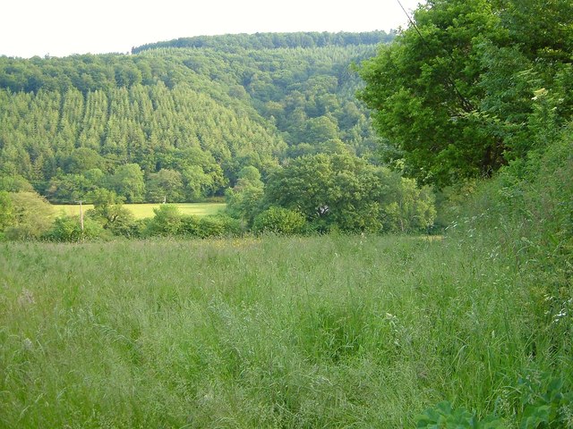
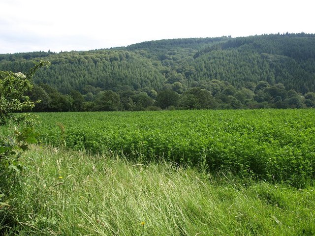
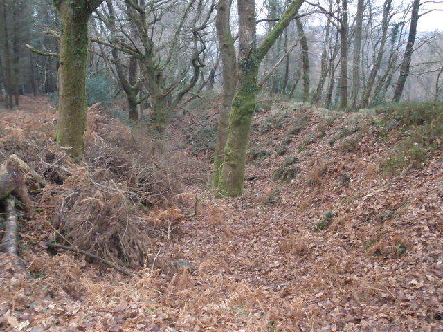
The wood boasts a diverse range of flora and fauna, with a mixture of broadleaf and coniferous trees providing a rich and varied habitat. Visitors can expect to see majestic oak, beech, and birch trees, as well as Douglas fir and Scots pine. These towering trees create a stunning canopy, which allows dappled sunlight to filter through and create a magical atmosphere.

Upperton Wood is also home to an abundance of wildlife. Birdwatchers will delight in spotting species such as woodpeckers, nuthatches, and tawny owls. Small mammals, including foxes, badgers, and rabbits, can also be spotted among the undergrowth. Additionally, the wood is known for its vibrant butterfly population, with species such as the common blue and orange tip fluttering among the flowers.

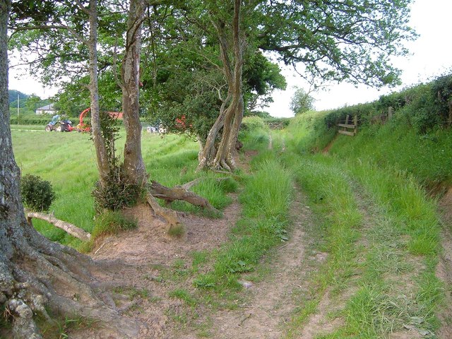
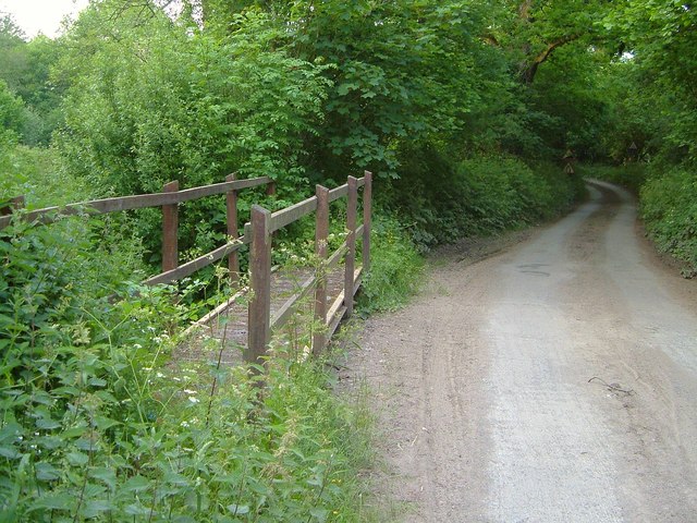
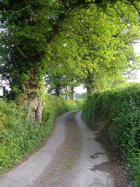
The wood offers several well-maintained trails, allowing visitors to explore the area at their own pace. These paths wind through the ancient woodland, revealing peaceful glades and babbling brooks along the way. Nature enthusiasts can enjoy a leisurely walk, birdwatching, or even a picnic amidst the tranquil surroundings.

Upperton Wood is a true gem of Devon, offering a tranquil escape from the hustle and bustle of everyday life. Its natural beauty and diverse wildlife make it a must-visit destination for those seeking a peaceful and immersive woodland experience.

If you have any feedback on the listing, please let us know in the comments section below.

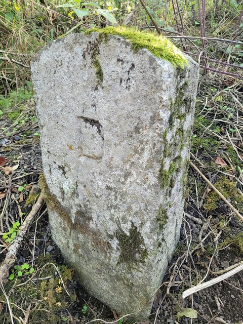
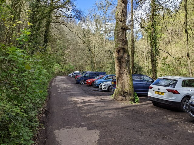
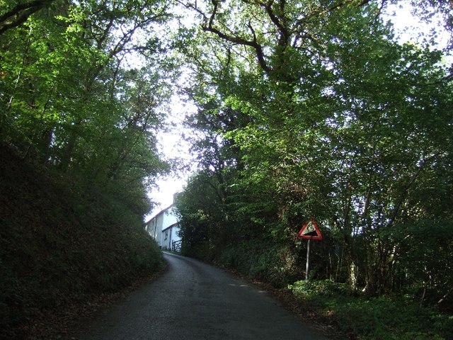
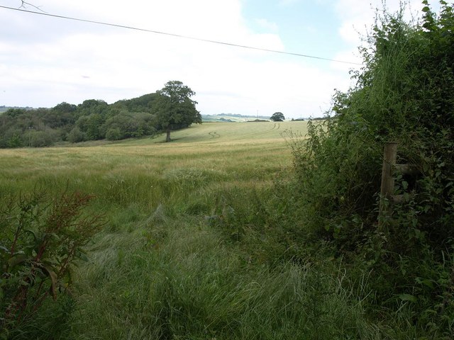
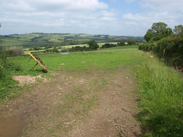
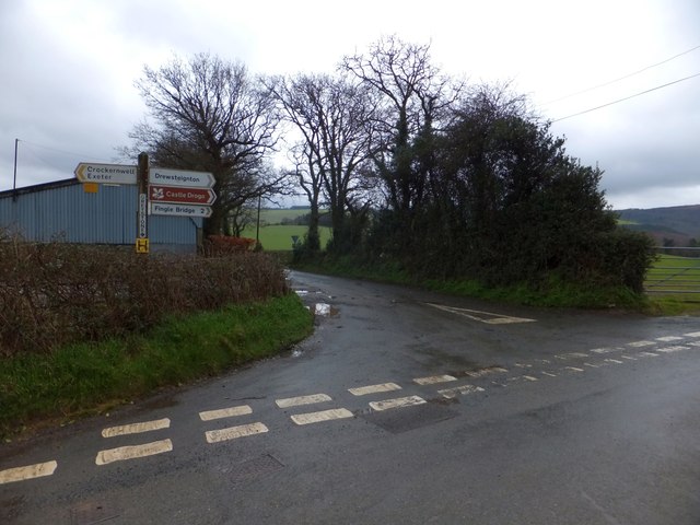
Upperton Wood Images

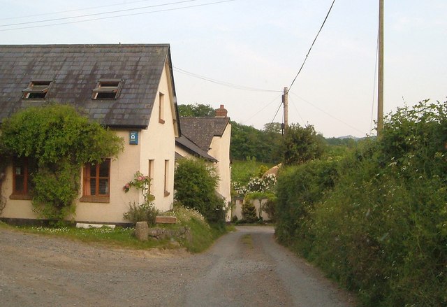
Images are sourced within 2km of 50.696206/-3.7554024 or Grid Reference SX7689. Thanks to Geograph Open Source API. All images are credited.

Old Boundary Marker beside Scotley Bridge Parish Boundary Marker on the south side of the road at the west end of Scotley Bridge. Inscribed D R and D on opposite faces and BOUNDARY on its side. On the boundary of Drewsteignton and Dunsford parishes.

Milestone Society National ID: DV_DREDUN01pb
Old Boundary Marker beside Scotley Bridge
Parish Boundary Marker on the south side of the road at the west end of Scotley Bridge. Inscribed D R and D on opposite faces and BOUNDARY on its side. On the boundary of Drewsteignton and Dunsford parishes. Milestone Society National ID: DV_DREDUN01pb
Walkers next to the river, heading west
Car parking near Fingle Bridge
Hill from Fingle Bridge into Drewsteignton
Minor road passing Drewston House The road was formerly a sunken lane, lined with trees on the top of the banks.
Minor road passing Drewston House
The road was formerly a sunken lane, lined with trees on the top of the banks.
Barn at Greystone Cross The crossroads is slightly staggered.  The road to the left is a few metres beyond that seen here, joining from the right
Barn at Greystone Cross
The crossroads is slightly staggered. The road to the left is a few metres beyond that seen here, joining from the right
Valley below Lower Eggbeer Farm The valley shown in <a href="https://www.geograph.org.uk/photo/183382">SX7691 : Broomspire Park Copse and pond</a> from further east along Cheriton Bishop Bridleway 12. The village in the distance is Crockernwell.
Valley below Lower Eggbeer Farm
The valley shown in SX7691 : Broomspire Park Copse and pond from further east along Cheriton Bishop Bridleway 12. The village in the distance is Crockernwell.
Scotley Brook valley With the side valley shown in <a href="https://www.geograph.org.uk/photo/2676057">SX7691 : Valley below Lower Eggbeer Farm</a> joining it on this side; the woodland is Higher Whitehill Brake. In the foreground is a field of barley. View from Cheriton Bishop Bridleway 12.
Scotley Brook valley
With the side valley shown in SX7691 : Valley below Lower Eggbeer Farm joining it on this side; the woodland is Higher Whitehill Brake. In the foreground is a field of barley. View from Cheriton Bishop Bridleway 12.
Bridleway, Lower Eggbeer Farm Cheriton Bishop Bridleway 12 approaches the lane at Lower Eggbeer Farm past these trees.
Bridleway, Lower Eggbeer Farm
Cheriton Bishop Bridleway 12 approaches the lane at Lower Eggbeer Farm past these trees.
Woodbrooke Farm Conversions at the farm, by the lane from Cheriton Bishop to Clifford Bridge.
Woodbrooke Farm
Conversions at the farm, by the lane from Cheriton Bishop to Clifford Bridge.
Ford, Woodbrooke The lane just south of <a href="https://www.geograph.org.uk/photo/2676148">SX7790 : Woodbrooke Farm</a> with a footbridge in case the Scotley Brook is crossing the tarmac. <a href="https://www.geograph.org.uk/photo/183383">SX7790 : Scotley Brook near Woodbrooke Farm</a> was taken looking downstream to the right.
Ford, Woodbrooke
The lane just south of SX7790 : Woodbrooke Farm with a footbridge in case the Scotley Brook is crossing the tarmac. SX7790 : Scotley Brook near Woodbrooke Farm was taken looking downstream to the right.
Lane from Woodbrooke Ford The view behind the camera in <a href="https://www.geograph.org.uk/photo/2676166">SX7790 : Ford, Woodbrooke</a>, with the lane passing oak trees on its way to Wallon.
Lane from Woodbrooke Ford
The view behind the camera in SX7790 : Ford, Woodbrooke, with the lane passing oak trees on its way to Wallon.
Meadow above the Teign Looking from the lane between Upperton and Clifford Bridge down into the Teign valley; the river and the far slopes (Langland Wood) are in <a href="https://www.geograph.org.uk/gridref/SX7789">SX7789</a>.
Meadow above the Teign
Looking from the lane between Upperton and Clifford Bridge down into the Teign valley; the river and the far slopes (Langland Wood) are in SX7789.
Meadow next to Broadmoor Cottage
Field close to Upperton
Cropfield close to Wallon crossroads, looking towards the south slopes of the Teign gorge
Ford at Woodbrooke This ford on the Scotley Brook is found below Woodbrooke Farm.
Ford at Woodbrooke
This ford on the Scotley Brook is found below Woodbrooke Farm.
The crossroads at Greystone Cross
Show me another place!

Upperton Wood is located at Grid Ref: SX7689 (Lat: 50.696206, Lng: -3.7554024)

Administrative County: Devon

District: West Devon

Police Authority: Devon and Cornwall

What 3 Words

///audio.stops.instilled. Near Moretonhampstead, Devon

Related Wikis

Wooston Castle

Wooston Castle is an Iron Age Hill fort situated on the edge of a hill overlooking the Teign Valley in Devon some 200 metres above sea level, only 3 km...

Prestonbury Castle

Prestonbury Castle is an Iron Age Hill fort on the north east edge of Dartmoor in Devon, England. Situated on a massive hilltop some 240 metres above sea...
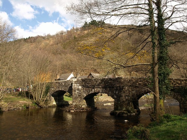
Fingle Bridge

Fingle Bridge is a 17th-century stone arch bridge carrying an unclassified road over the River Teign near Drewsteignton, within Dartmoor National Park...

Crockernwell

Crockernwell is a small village with a Methodist church. It is located 2 miles west of Cheriton Bishop and 12 miles west of Exeter, Devon, England. �...

Nearby Amenities

Located within 500m of 50.696206,-3.7554024
View of Valley
Tourism: viewpoint
Lat/Long: 50.6936148/-3.7510363
Generator Method: photovoltaic
Generator Output Electricity: yes
Generator Source: solar
Generator Type: solar_photovoltaic_panel
Location: ground
Power: generator
Lat/Long: 50.6992448/-3.7517868
The data included in this document is from www.openstreetmap.org. The data is made available under ODbL.

Have you been to Upperton Wood?

Leave your review of Upperton Wood below (or comments, questions and feedback).