Little Meadow

Wood, Forest in Devon Mid Devon

England

Little Meadow

Cann's Mill Bridge over the river Dalch This narrow road is called Cann's Mill Bridge and crosses the River Dalch by Cann's Mill near Thelbridge.
Cann's Mill Bridge over the river Dalch Credit: Philip Halling

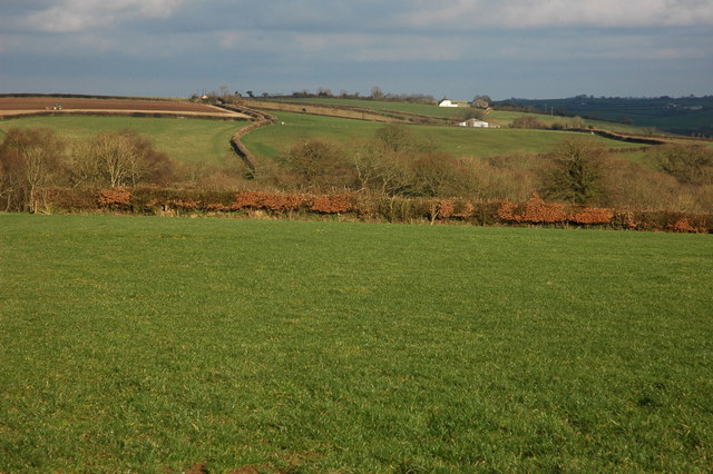
Little Meadow is a quaint and picturesque woodland area located in the charming county of Devon, England. Situated amidst the stunning natural beauty of the region, this small yet captivating forest is a haven for nature enthusiasts and those seeking tranquility in the great outdoors.

Covering an area of approximately 50 acres, Little Meadow boasts a diverse range of flora and fauna, making it a hotspot for wildlife spotting. The forest is home to a variety of tree species, including oak, beech, and birch, which provide a lush and vibrant canopy throughout the year. The forest floor is adorned with a tapestry of wildflowers, creating a colorful and enchanting landscape.

Visitors to Little Meadow can explore the forest through a network of well-maintained footpaths and trails, allowing them to fully immerse themselves in the natural surroundings. The serene atmosphere of the woodland offers an ideal setting for activities such as hiking, birdwatching, and photography.

The forest is also home to a diverse range of wildlife, including deer, foxes, rabbits, and a plethora of bird species. Nature enthusiasts will have the opportunity to glimpse these creatures in their natural habitat and experience the thrill of spotting rare and elusive species.

Little Meadow is not only a haven for nature lovers but also a place of historical significance. The forest has a rich cultural heritage, with ancient remnants of settlements and burial mounds scattered throughout. Archaeological enthusiasts can explore these historical sites and gain a deeper understanding of the area's past.

With its natural beauty, diverse wildlife, and historical significance, Little Meadow is a true gem in the heart of Devon, offering visitors a unique and unforgettable experience in the midst of nature's splendor.

If you have any feedback on the listing, please let us know in the comments section below.

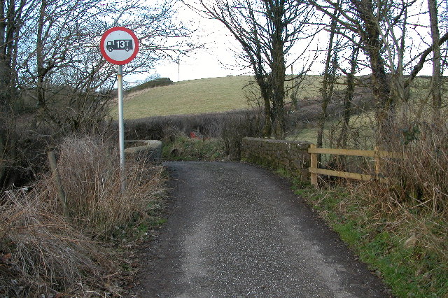
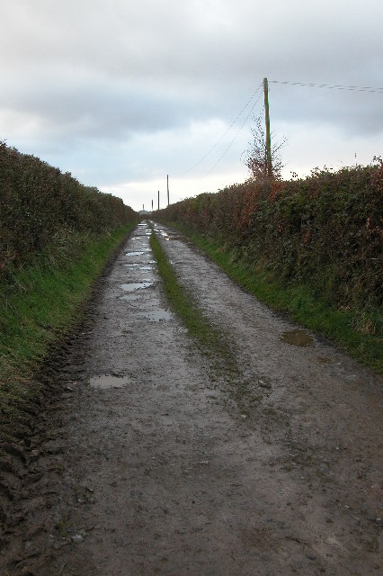
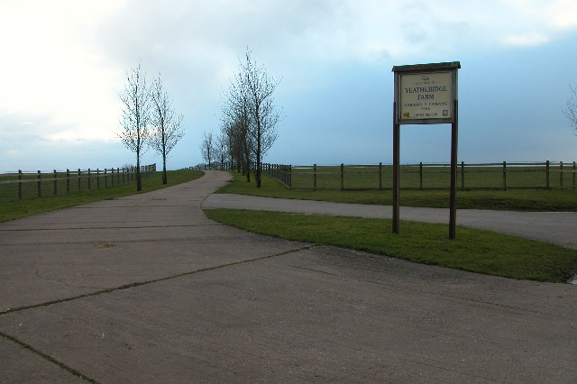
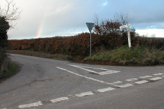
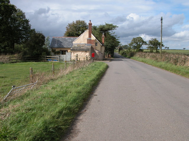
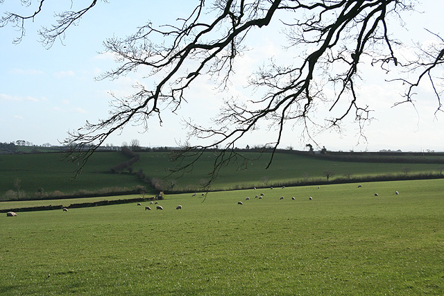
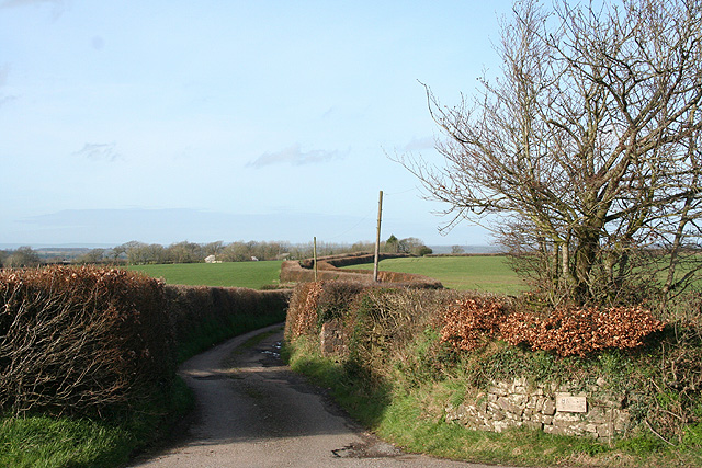
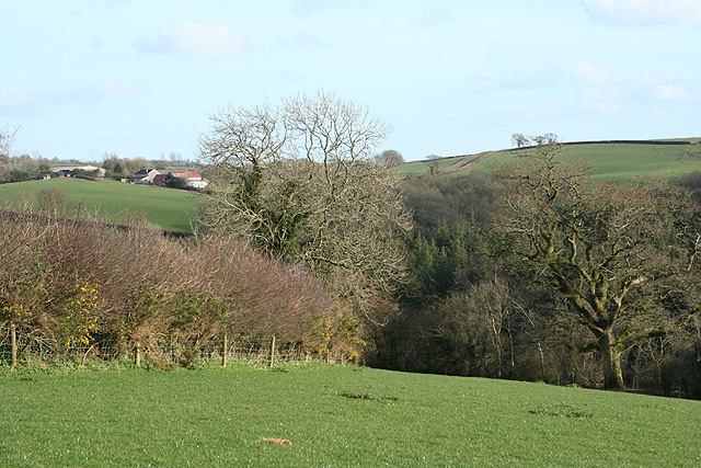
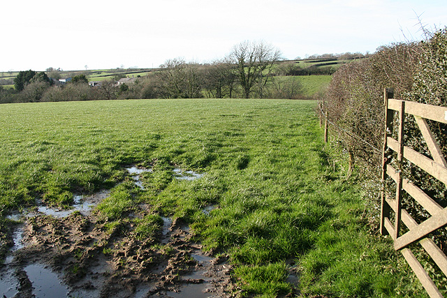
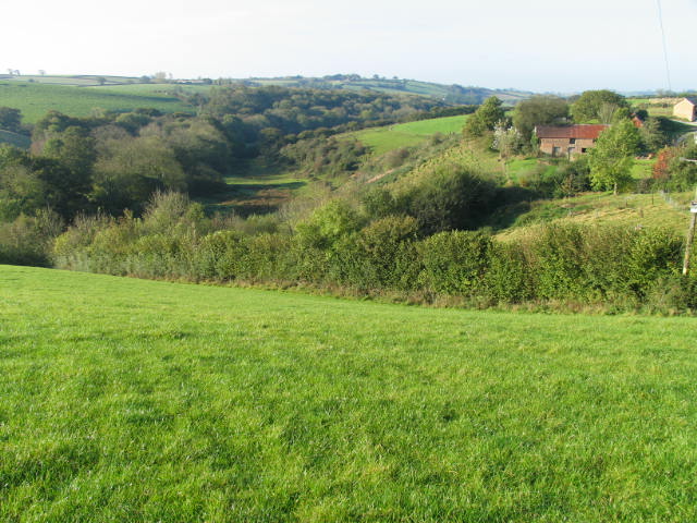
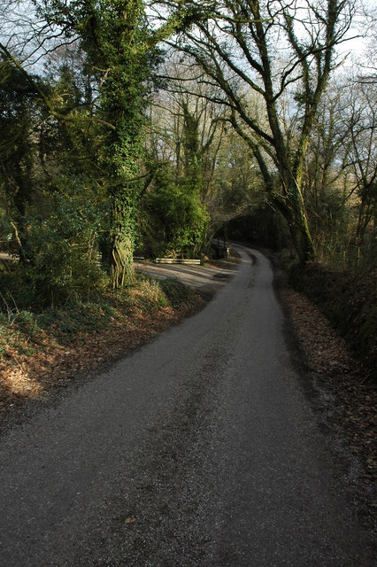
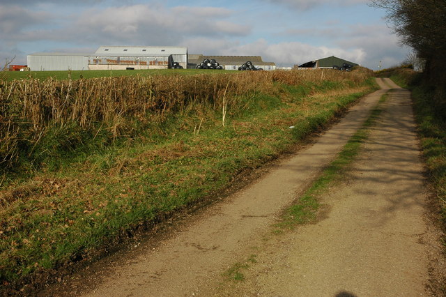
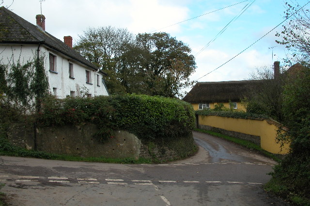
Little Meadow Images

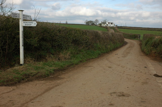
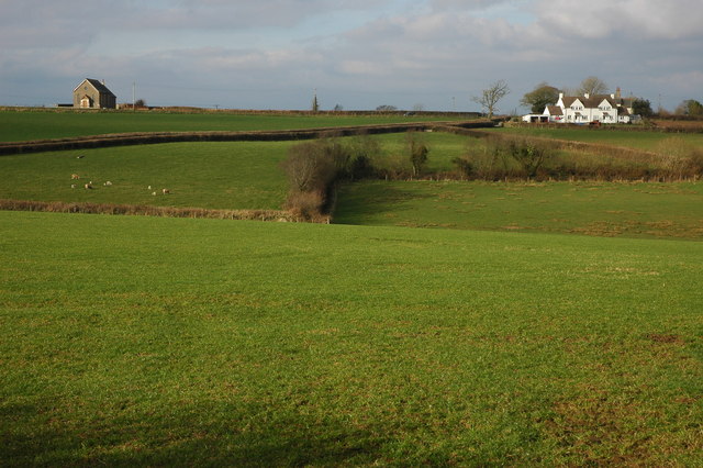
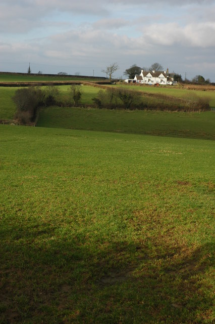
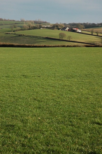
Images are sourced within 2km of 50.878026/-3.7500311 or Grid Reference SS7610. Thanks to Geograph Open Source API. All images are credited.

Cann's Mill Bridge over the river Dalch This narrow road is called Cann's Mill Bridge and crosses the River Dalch by Cann's Mill near Thelbridge.
Cann's Mill Bridge over the river Dalch
This narrow road is called Cann's Mill Bridge and crosses the River Dalch by Cann's Mill near Thelbridge.
Farm track leading to Lewdon Farm, near Thelbridge Grid square with public access only in the extreme north-east corner. The square contains the Dalch valley and Lewdon Farm.
Farm track leading to Lewdon Farm, near Thelbridge
Grid square with public access only in the extreme north-east corner. The square contains the Dalch valley and Lewdon Farm.
Entrance to campsite at Yeatheridge Farm Entrance to Yeatheridge campsite. See: <span class="nowrap"><a title="http://www.yeatheridge.co.uk/" rel="nofollow ugc noopener" href="http://www.yeatheridge.co.uk/">Link</a><img style="margin-left:2px;" alt="External link" title="External link - shift click to open in new window" src="https://s1.geograph.org.uk/img/external.png" width="10" height="10"/></span>
Entrance to campsite at Yeatheridge Farm
Entrance to Yeatheridge campsite. See: LinkExternal link
Road junction at Tween-Moor Cross
Cottage near Tween-Moor Cross
Thelbridge: Five Oaks Moor Looking south
Thelbridge: Five Oaks Moor
Looking south
East Worlington: lane to Halse Looking north with the farm buildings just visible below the wood on the horizon
East Worlington: lane to Halse
Looking north with the farm buildings just visible below the wood on the horizon
East Worlington: above the river Dalch On a public footpath near the site of Deneridge or Dendridge watermill. Looking south
East Worlington: above the river Dalch
On a public footpath near the site of Deneridge or Dendridge watermill. Looking south
East Worlington: the Dalch valley Looking south east towards Langland on the hill opposite, beyond the square. Seen from a public footpath
East Worlington: the Dalch valley
Looking south east towards Langland on the hill opposite, beyond the square. Seen from a public footpath
Lapford: near Broomsmead Looking north west towards Northlake
Lapford: near Broomsmead
Looking north west towards Northlake
River Dalch valley at Lewdon Farm This hidden section of the Dalch valley (north side) is a Devon Wildlife Site.
River Dalch valley at Lewdon Farm
This hidden section of the Dalch valley (north side) is a Devon Wildlife Site.
Road near Filleigh Country road from Filleigh to Deneridge Cross.
Road near Filleigh
Country road from Filleigh to Deneridge Cross.
Approaching Deneridge Cross Here the road from Filleigh approaches Deneridge Cross, on the left is a large farm.
Approaching Deneridge Cross
Here the road from Filleigh approaches Deneridge Cross, on the left is a large farm.
Deneridge Cross Oddly this is actually a crossroads.
Deneridge Cross
Oddly this is actually a crossroads.
Farmland and the Three Hammers Farmland to the south Three Hammers. Both the white house and the chapel stand on the B3042.
Farmland and the Three Hammers
Farmland to the south Three Hammers. Both the white house and the chapel stand on the B3042.
Farmland at Three Hammers Farmland and Three Hammers viewed from the south.
Farmland at Three Hammers
Farmland and Three Hammers viewed from the south.
Farmland in the Dalch Valley View across farmland above the River Dalh towards Langland Farm.
Farmland in the Dalch Valley
View across farmland above the River Dalh towards Langland Farm.
Farmland above the Dalch Valley View toward Lewdon Farm, above the River Dalch and the Dalch valley.
Farmland above the Dalch Valley
View toward Lewdon Farm, above the River Dalch and the Dalch valley.
Show me another place!

Little Meadow is located at Grid Ref: SS7610 (Lat: 50.878026, Lng: -3.7500311)

Administrative County: Devon

District: Mid Devon

Police Authority: Devon and Cornwall

What 3 Words

///again.manliness.derailed. Near Morchard Bishop, Devon

Related Wikis

Eastington, Devon

Eastington is a hamlet in the English county of Devon. Eastington is about one mile east of the village of Lapford. The hamlet comprises a dairy farm and...
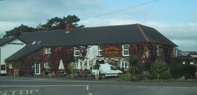
Thelbridge

Thelbridge is a village and civil parish in the Mid Devon district, in the county of Devon, England. It is 5 miles NE of Morchard Road railway station...

West Worlington

West Worlington is a small village and former civil and ecclesiastical parish, now in the civil parish of East Worlington, in the North Devon district...

Morchard Bishop

Morchard Bishop is a village and civil parish in Mid Devon in the English county of Devon. It has a population of 975, and contains a primary school, two...

Nearby Amenities

Located within 500m of 50.878026,-3.7500311
Generator Method: photovoltaic
Generator Output Electricity: yes
Generator Source: solar
Generator Type: solar_photovoltaic_panel
Location: roof
Power: generator
Lat/Long: 50.8754652/-3.7557873
Generator Method: photovoltaic
Generator Output Electricity: yes
Generator Source: solar
Generator Type: solar_photovoltaic_panel
Location: roof
Power: generator
Lat/Long: 50.8749016/-3.747341
The data included in this document is from www.openstreetmap.org. The data is made available under ODbL.

Have you been to Little Meadow?

Leave your review of Little Meadow below (or comments, questions and feedback).