South Yard Coppice
Wood, Forest in Devon North Devon
England
South Yard Coppice
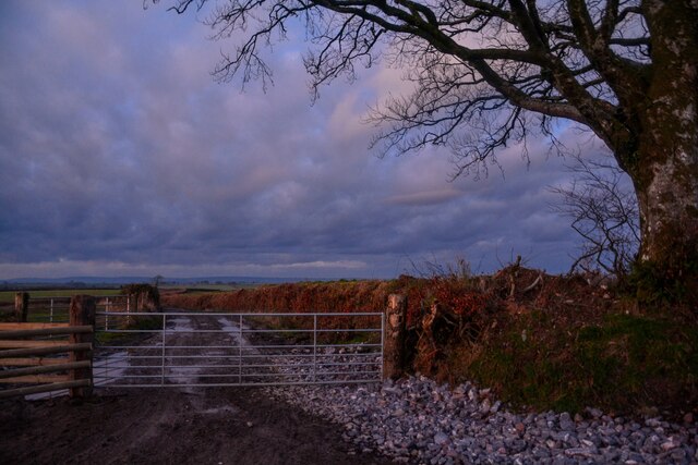
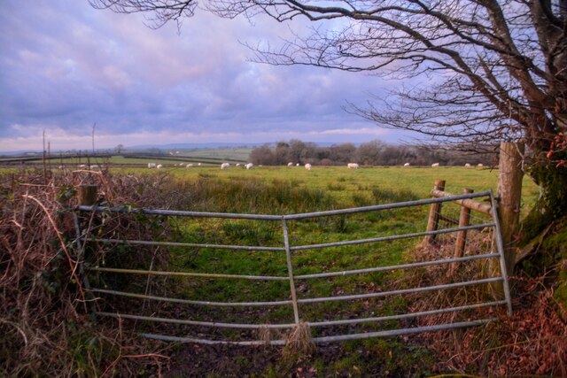
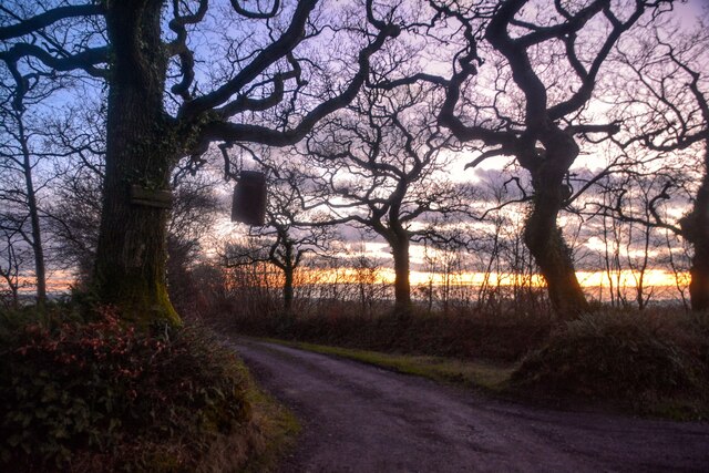
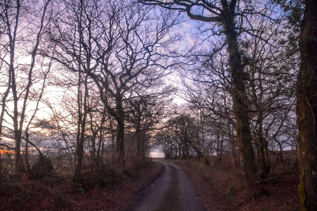
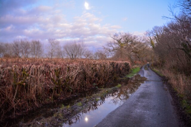
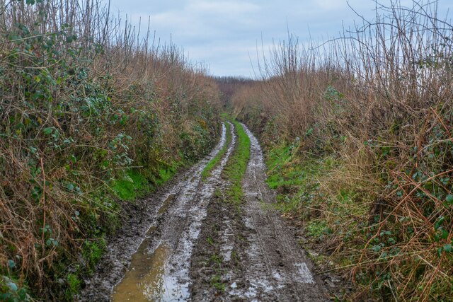
South Yard Coppice is a picturesque woodland area located in the county of Devon, England. Spanning over a vast area of land, it is known for its dense foliage and captivating natural beauty. The coppice is situated near the town of Bovey Tracey, nestled within the enchanting Dartmoor National Park.
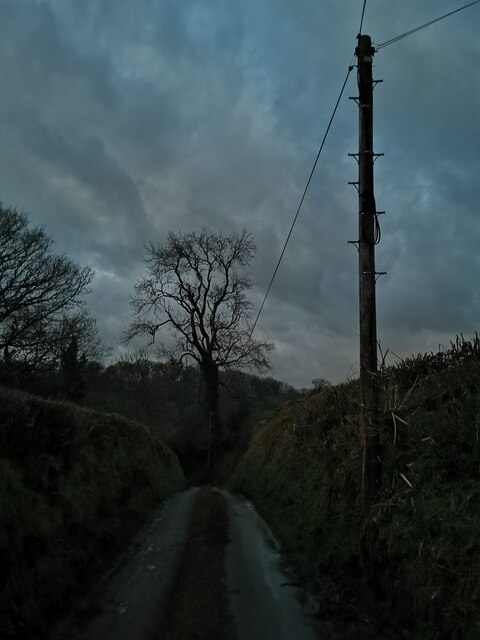
The woodland is predominantly composed of native tree species such as oak, beech, and birch, which create a rich and diverse ecosystem. The canopy cover is dense, allowing minimal sunlight to penetrate through the thick foliage, resulting in a cool and tranquil environment. The forest floor is carpeted with a variety of wildflowers, mosses, and ferns, contributing to the area's vibrant and lush appearance.
South Yard Coppice is not only a haven for flora but also a sanctuary for various wildlife species. The forest provides a home for numerous bird species, including woodpeckers, owls, and songbirds. Additionally, it is a habitat for small mammals like squirrels, rabbits, and badgers, which roam freely amidst the trees.
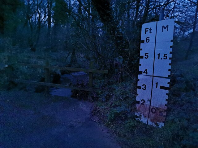
The coppice offers a serene retreat for nature enthusiasts and outdoor lovers. Numerous walking trails wind through the woodland, allowing visitors to explore its beauty at their own pace. These trails provide an opportunity to witness the changing seasons, from the vibrant colors of autumn to the fresh greenery of spring.
Overall, South Yard Coppice in Devon is a remarkable woodland area, teeming with natural wonders and offering a peaceful escape from the hustle and bustle of everyday life. Whether it is for a leisurely stroll or a deep immersion in nature, this forest is sure to captivate the hearts of all who visit.
If you have any feedback on the listing, please let us know in the comments section below.
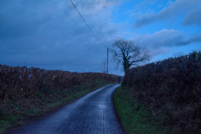
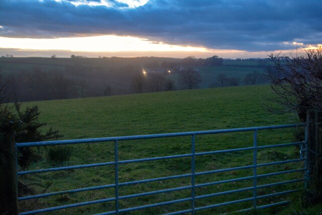
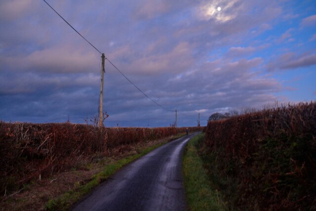
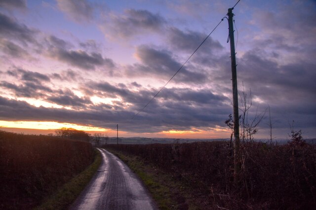
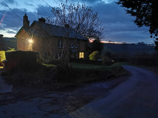
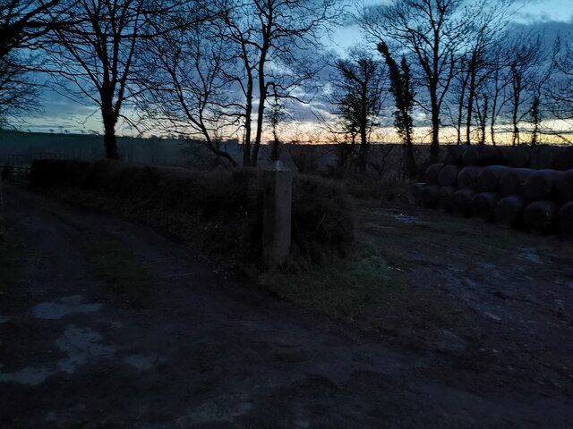
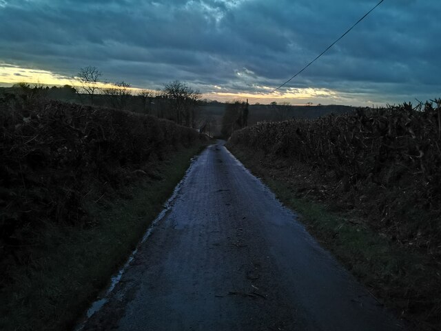
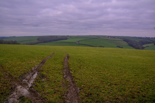
South Yard Coppice Images
Images are sourced within 2km of 50.975772/-3.7549148 or Grid Reference SS7621. Thanks to Geograph Open Source API. All images are credited.
South Yard Coppice is located at Grid Ref: SS7621 (Lat: 50.975772, Lng: -3.7549148)
Administrative County: Devon
District: North Devon
Police Authority: Devon and Cornwall
What 3 Words
///perform.stardom.hiring. Near South Molton, Devon
Nearby Locations
Related Wikis

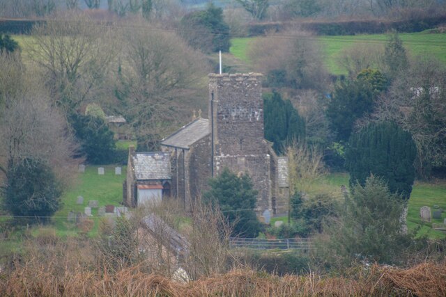
Meshaw
Meshaw is a village and civil parish in the North Devon district of Devon, England. Its nearest town is South Molton, which lies approximately 5.9 miles...

Rose Ash
Rose Ash, formerly Ralph-Esse, is a village and civil parish in North Devon district, Devon, England. In the 2011 census it was recorded as having a population...

Mariansleigh
Mariansleigh is a village and civil parish in Devon, England. In 2021 the parish had a population of 170. == External links == GENUKI Mariansleigh Page

Ash Mill
Ash Mill is a village in Devon, England.Ashmill was the site of Ashwater station on the former L.S.W.R. North Cornwall line which closed in the 1960s....
Nearby Amenities
Located within 500m of 50.975772,-3.7549148Have you been to South Yard Coppice?
Leave your review of South Yard Coppice below (or comments, questions and feedback).