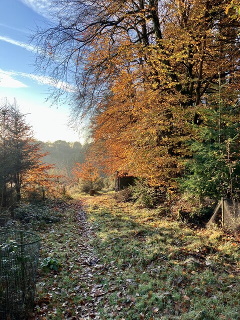
Waye Plantation
Wood, Forest in Devon Teignbridge
England
Waye Plantation

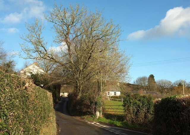
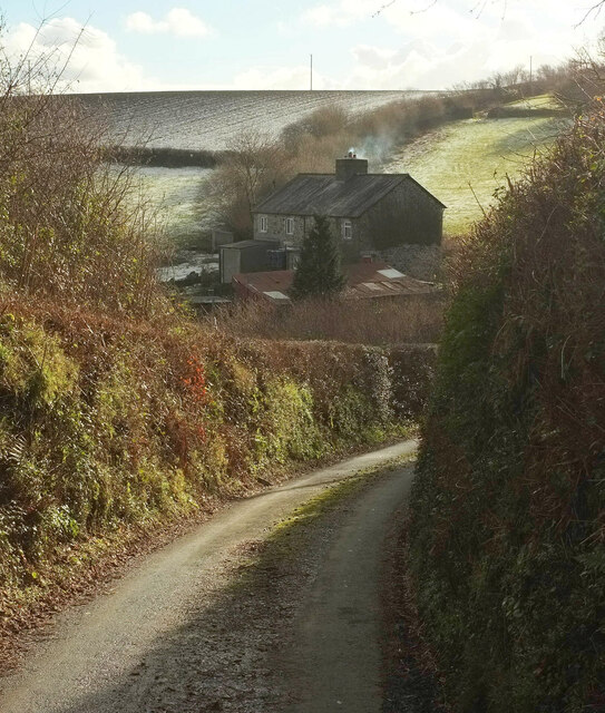
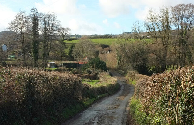
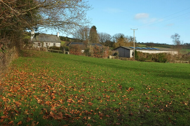
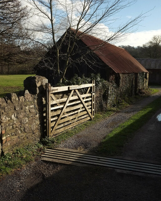
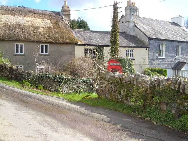
Waye Plantation is a picturesque woodland area located in Devon, England. Nestled in the heart of the county, this enchanting forest is known for its natural beauty and diverse ecosystem. Covering an extensive area, Waye Plantation is a haven for outdoor enthusiasts and nature lovers alike.
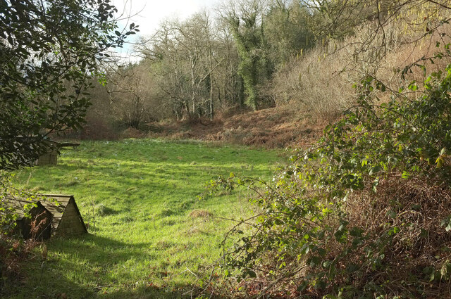
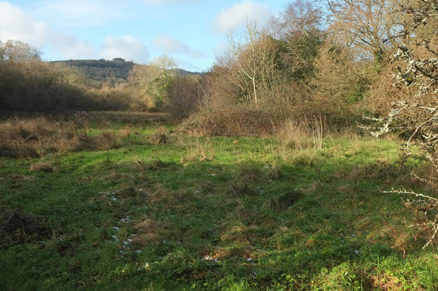
The plantation is primarily composed of native tree species such as oak, beech, and birch, which create a captivating canopy overhead. The forest floor is adorned with a variety of wildflowers, ferns, and mosses, adding to the magical atmosphere. The plantation is also home to numerous wildlife species, including deer, foxes, squirrels, and a wide range of bird species.
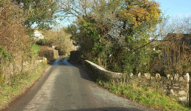
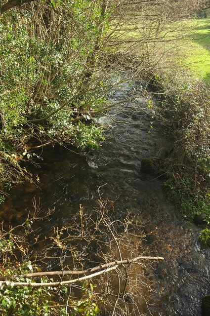
Visitors to Waye Plantation can explore a network of well-maintained walking trails that wind through the forest, allowing for an immersive experience in nature. The trails vary in difficulty, catering to both casual strollers and seasoned hikers. Along the way, visitors may discover hidden streams, small waterfalls, and tranquil ponds that enhance the serenity of the surroundings.
In addition to its natural beauty, Waye Plantation holds historical significance. The area was once a site of a medieval settlement, and remnants of ancient structures can still be found within the forest. Archaeological excavations have revealed artifacts and traces of human habitation, providing a fascinating glimpse into the region's past.
Whether it's a leisurely stroll, birdwatching, or a deep appreciation for history, Waye Plantation offers something for everyone. Its tranquil ambiance, captivating flora, and fauna make it a must-visit destination for those seeking solace in nature's embrace.
If you have any feedback on the listing, please let us know in the comments section below.
Waye Plantation Images
Images are sourced within 2km of 50.537412/-3.7387741 or Grid Reference SX7672. Thanks to Geograph Open Source API. All images are credited.


Waye Plantation is located at Grid Ref: SX7672 (Lat: 50.537412, Lng: -3.7387741)
Administrative County: Devon
District: Teignbridge
Police Authority: Devon and Cornwall
What 3 Words
///dwell.lived.hawks. Near Ashburton, Devon
Nearby Locations
Related Wikis

Church of St Peter, Shaldon
The Church of St Peter is the Church of England parish church of the village of Shaldon, Devon. Designed by Edmund Harold Sedding, and with later additions...
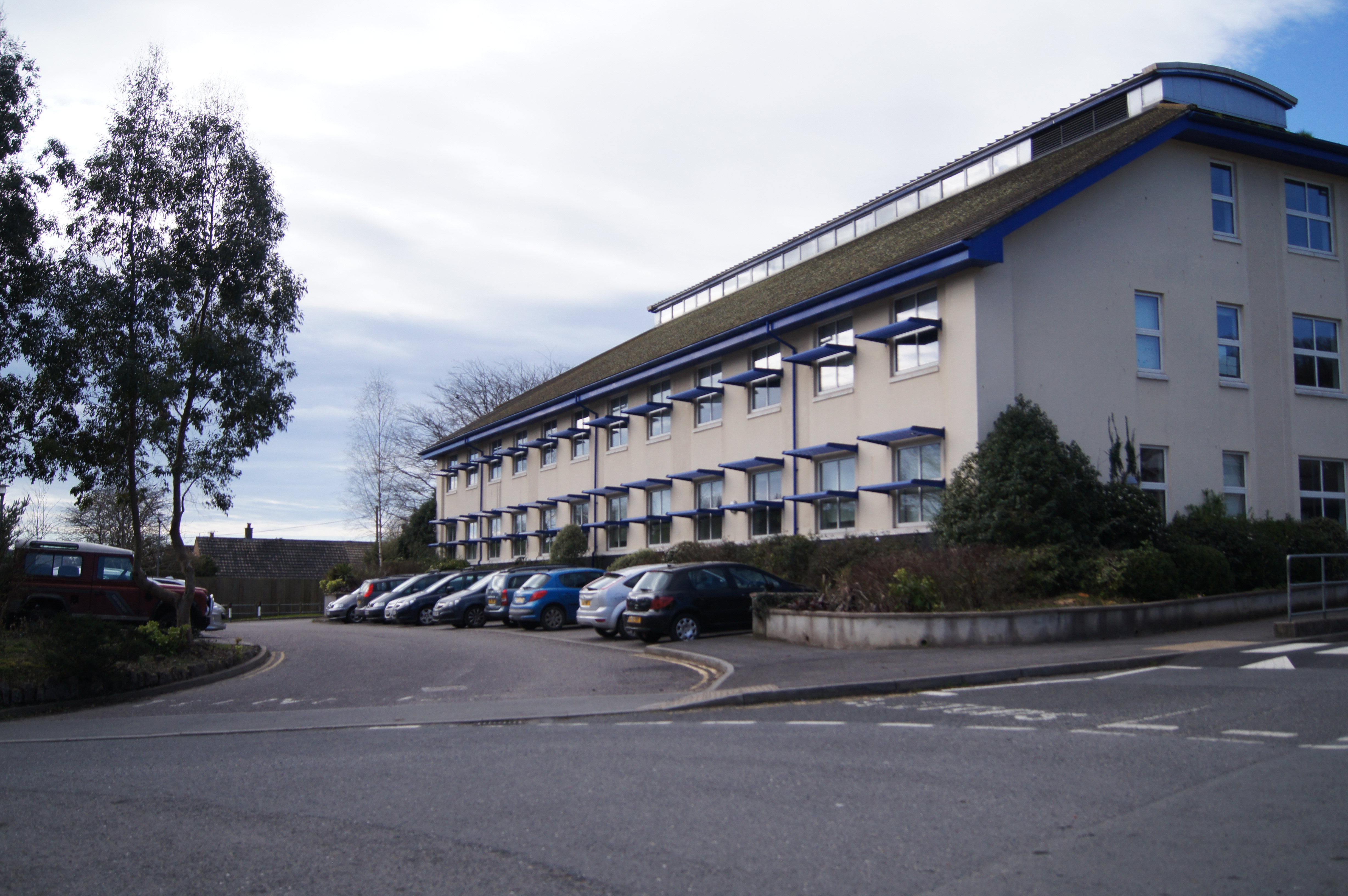
South Dartmoor Community College
South Dartmoor Community College (SDCC) is a co-educational academy school located in Ashburton, Devon, England. The number of students on roll is 1,650...

River Sig
The River Sig is a 2.4 mile long river on Dartmoor in the county of Devon, England. It is a tributary to the River Lemon which it meets at Sigford. �...
Sigford
Sigford is a small hamlet in the Parish of Ilsington, on the eastern edge of Dartmoor, Devon, England. It is situated at the confluence of three rivers...
Have you been to Waye Plantation?
Leave your review of Waye Plantation below (or comments, questions and feedback).