Church End

Settlement in Gloucestershire Stroud

England

Church End

Cambridge!? Not the better-known University town. This is the view north-west from the A38 near Elm Farm, across open farmland. The church tower in the far distance is over a mile away at Splatt Bridge, Church End, on the Gloucester and Sharpness canal.
Cambridge!? Credit: Roger May

Church End is a small village located in the county of Gloucestershire, England. Situated near the larger town of Tewkesbury, Church End is known for its picturesque countryside setting and historic charm. The village is home to a population of approximately 500 residents.

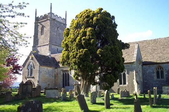
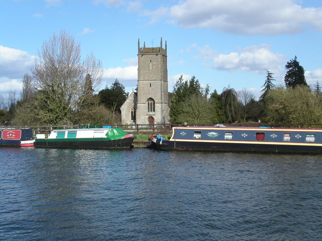
The focal point of Church End is its beautiful 12th-century parish church, which sits prominently at the heart of the village. This ancient place of worship, dedicated to St. Mary the Virgin, showcases stunning architectural features such as a Norman doorway and a medieval tower. The church is an important cultural and historical landmark, attracting visitors from near and far.

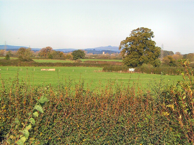
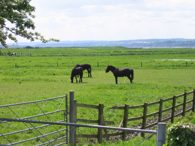
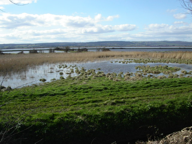
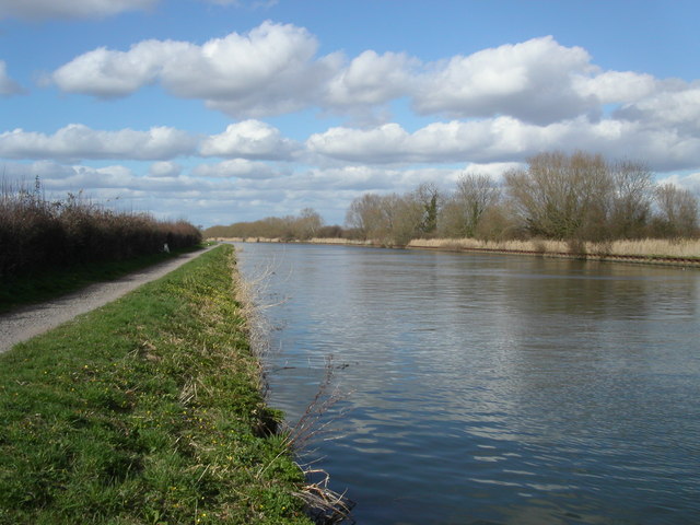
Surrounded by rolling green hills and lush farmland, Church End offers a tranquil and peaceful environment for its inhabitants. The village boasts a tight-knit community, with various community events and gatherings taking place throughout the year. Residents and visitors can enjoy peaceful walks along the country lanes, taking in the stunning countryside views and enjoying the fresh air.

Though small in size, Church End benefits from its close proximity to larger towns such as Tewkesbury, which provide residents with access to a wider range of amenities including shops, schools, and recreational facilities. The village is well-connected to the surrounding areas via a network of roads and public transportation options.

Overall, Church End, Gloucestershire, offers a charming rural retreat for those seeking a peaceful village lifestyle within a stunning natural setting.

If you have any feedback on the listing, please let us know in the comments section below.
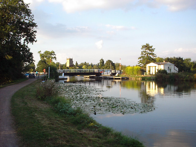
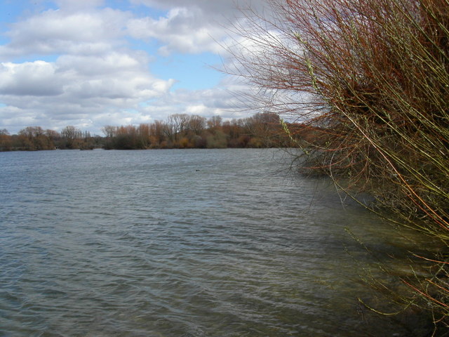
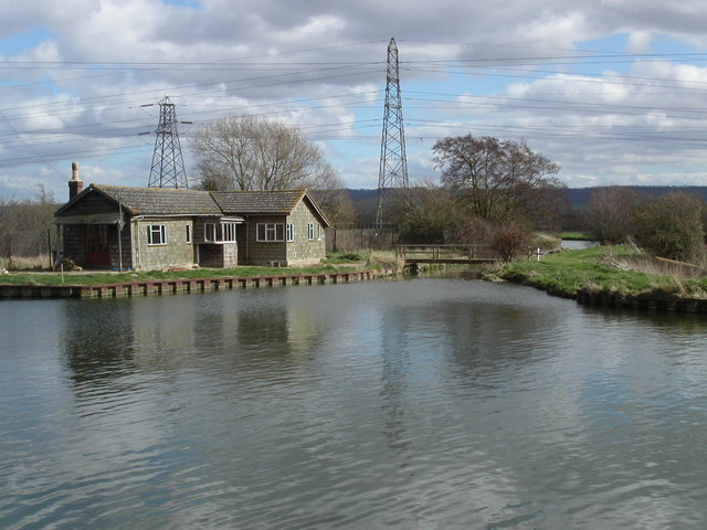
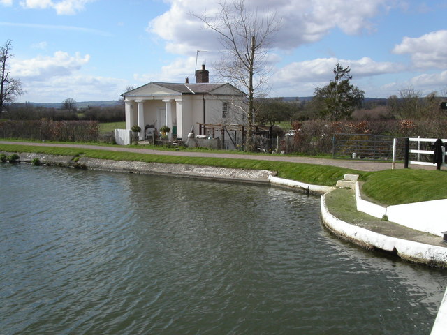
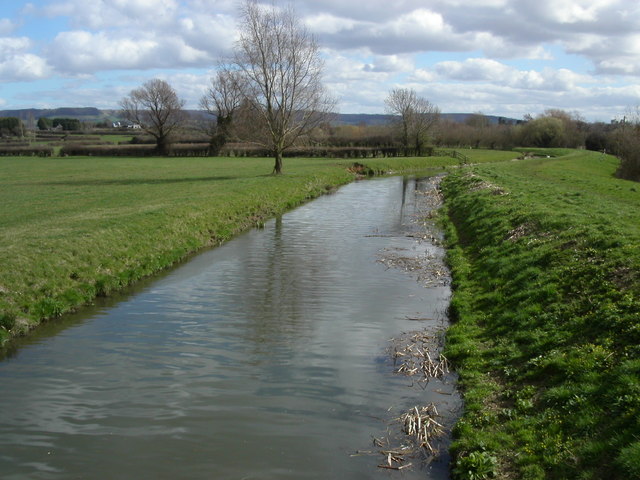
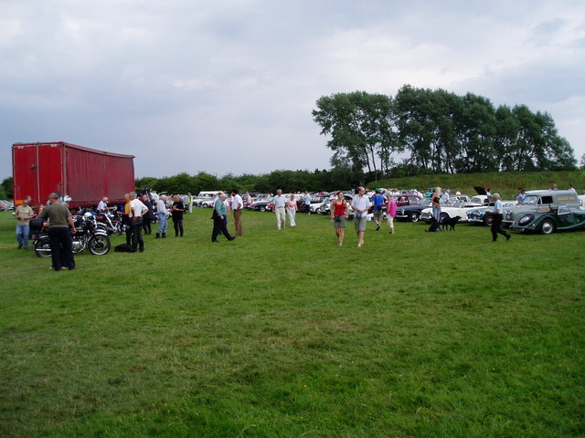
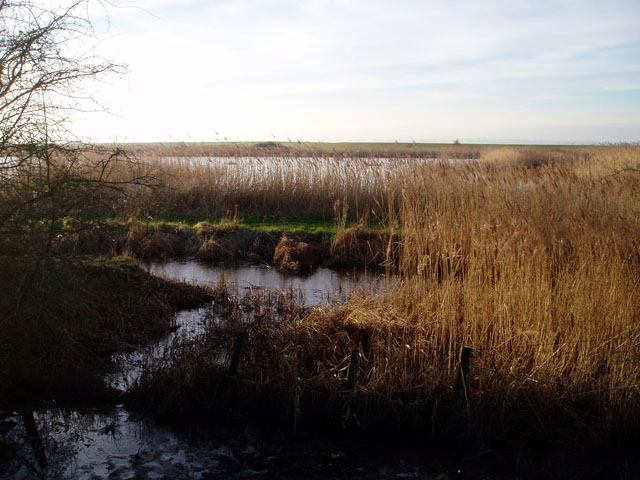
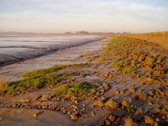
Church End Images

Images are sourced within 2km of 51.752084/-2.3780434 or Grid Reference SO7406. Thanks to Geograph Open Source API. All images are credited.

Cambridge!? Not the better-known University town. This is the view north-west from the A38 near Elm Farm, across open farmland. The church tower in the far distance is over a mile away at Splatt Bridge, Church End, on the Gloucester and Sharpness canal.
Cambridge!?
Not the better-known University town. This is the view north-west from the A38 near Elm Farm, across open farmland. The church tower in the far distance is over a mile away at Splatt Bridge, Church End, on the Gloucester and Sharpness canal.
Splatt Bridge, Gloucester & Sharpness Canal Splatt Bridge is just south of the village of Frampton on Severn. Frampton church, at Church End is a few hundred metres north of here. Church and village can be reached via a lane or footpaths from the east side of the swing bridge. Note the classical-style bridgeman's house, with portico and Doric columns. This is one of eight built in the 1840s - 1850s.
Splatt Bridge, Gloucester & Sharpness Canal
Splatt Bridge is just south of the village of Frampton on Severn. Frampton church, at Church End is a few hundred metres north of here. Church and village can be reached via a lane or footpaths from the east side of the swing bridge. Note the classical-style bridgeman's house, with portico and Doric columns. This is one of eight built in the 1840s - 1850s.
Frampton-on-Severn meadow Flood plain near Frampton with grazing for sheep, cattle and horses. Beyond and just visible is the Severn at a sandbank and bend called The Noose. The distant hills are the Forest of Dean on the other side of the river. The camera location is next to Splatt Bridge on the Sharpness Canal.
Frampton-on-Severn meadow
Flood plain near Frampton with grazing for sheep, cattle and horses. Beyond and just visible is the Severn at a sandbank and bend called The Noose. The distant hills are the Forest of Dean on the other side of the river. The camera location is next to Splatt Bridge on the Sharpness Canal.
St. Mary the Virgin, Frampton-on-Severn
Frampton on Severn sailing lake The lake is an old gravel pit covering 40 acres and is used by Frampton on Severn sailing club. It is one of two large lakes by the village of Frampton on Severn.
Frampton on Severn sailing lake
The lake is an old gravel pit covering 40 acres and is used by Frampton on Severn sailing club. It is one of two large lakes by the village of Frampton on Severn.
River Cam and the Gloucester and Sharpness canal The river Cam as it enters the Gloucester and Sharpness canal lies very close to the Wildfowl and Wetland trust at Slimbridge.
River Cam and the Gloucester and Sharpness canal
The river Cam as it enters the Gloucester and Sharpness canal lies very close to the Wildfowl and Wetland trust at Slimbridge.
Bridge keepers cottage at Cambridge Arms bridge Bridge keepers cottage at Cambridge Arms bridge on the Gloucester and Sharpness canal.
Bridge keepers cottage at Cambridge Arms bridge
Bridge keepers cottage at Cambridge Arms bridge on the Gloucester and Sharpness canal.
The river Cam in Gloucestershire This 1.6Km section of the river Cam lies between Cambridge and the Gloucester and Sharpness canal.
The river Cam in Gloucestershire
This 1.6Km section of the river Cam lies between Cambridge and the Gloucester and Sharpness canal.
Frampton on Severn church Frampton on Severn church from across the Gloucester and Sharpness canal.
Frampton on Severn church
Frampton on Severn church from across the Gloucester and Sharpness canal.
The Noose on the river Severn Looking from the Gloucester and Sharpness canal across the wetlands to the section of the Severn called the Noose. After completing the large oxbow at Newnham the river opens up to two kilometres across. On the horizon is the Forest of Dean.
The Noose on the river Severn
Looking from the Gloucester and Sharpness canal across the wetlands to the section of the Severn called the Noose. After completing the large oxbow at Newnham the river opens up to two kilometres across. On the horizon is the Forest of Dean.
Gloucester and Sharpness canal path Looking north towards Gloucester. Splatt bridge at Frampton on Severn is 1Km away.
Gloucester and Sharpness canal path
Looking north towards Gloucester. Splatt bridge at Frampton on Severn is 1Km away.
Tythe Barn Frampton This 17th century tythe barn was repaired in 2003 with the help of English Heritage. It lies close to the village church and the Gloucester and Sharpness canal.
Tythe Barn Frampton
This 17th century tythe barn was repaired in 2003 with the help of English Heritage. It lies close to the village church and the Gloucester and Sharpness canal.
Vintage Car Run Vintage Car Run held by the Chipping Sodbury Rotary Club at Slimbridge.
Vintage Car Run
Vintage Car Run held by the Chipping Sodbury Rotary Club at Slimbridge.
Frampton Court The grounds of this house, from which side the picture is taken, is the site of the popular Frampton Show
Frampton Court
The grounds of this house, from which side the picture is taken, is the site of the popular Frampton Show
Reedbeds by the Severn estuary The land beyond the fence in the foreground is an important breeding ground for birds, and is maintained as a nature reserve by the Wildfowl and Wetlands Trust based at nearby Slimbridge. The public are barred from this part of the reserve, but it's possible to get a glimpse into it from the neighbouring fields.
Reedbeds by the Severn estuary
The land beyond the fence in the foreground is an important breeding ground for birds, and is maintained as a nature reserve by the Wildfowl and Wetlands Trust based at nearby Slimbridge. The public are barred from this part of the reserve, but it's possible to get a glimpse into it from the neighbouring fields.
Mudflats near Frampton-on-Severn The latest edition of the OS Landranger map marks mud on the left (i.e. east) side of the Severn channel and sand on the right side. This stretch of mud near Frampton extends along the estuary for a couple of kilometres, and the grassy foreshore (behind the mud cliffs on the right) is made up of several millennia of silt deposits.
Mudflats near Frampton-on-Severn
The latest edition of the OS Landranger map marks mud on the left (i.e. east) side of the Severn channel and sand on the right side. This stretch of mud near Frampton extends along the estuary for a couple of kilometres, and the grassy foreshore (behind the mud cliffs on the right) is made up of several millennia of silt deposits.
Sunset over the Severn estuary The main channel of the River Severn is just beyond the bank of mud in the foreground. The extensive area of sandbanks known as The Noose is beyond.
Sunset over the Severn estuary
The main channel of the River Severn is just beyond the bank of mud in the foreground. The extensive area of sandbanks known as The Noose is beyond.
Channels in the mudflats This particular stretch of mudflats drains inland, with a rather straight channel carrying the water back to the river. I'm not sure of the explanation for this natural phenomenon, but I suspect it might be that when the river floods, it deposits the largest load of silt at the point closest to where it bursts its banks. (This is certainly the reason why levees form along rivers prone to flooding.) The sun can be seen setting behind the Forest of Dean.
Channels in the mudflats
This particular stretch of mudflats drains inland, with a rather straight channel carrying the water back to the river. I'm not sure of the explanation for this natural phenomenon, but I suspect it might be that when the river floods, it deposits the largest load of silt at the point closest to where it bursts its banks. (This is certainly the reason why levees form along rivers prone to flooding.) The sun can be seen setting behind the Forest of Dean.
Show me another place!

Church End is located at Grid Ref: SO7406 (Lat: 51.752084, Lng: -2.3780434)

Administrative County: Gloucestershire

District: Stroud

Police Authority: Gloucestershire

What 3 Words

///blink.windmills.outbid. Near Frampton on Severn, Gloucestershire

Nearby Locations

Church End Oegrove Covert

Related Wikis

River Cam, Gloucestershire

The River Cam is a small river in Gloucestershire, England. It flows for 12 miles (20 km) north-westwards from the Cotswold Edge, across the Vale of Berkeley...

Frampton Pools

Frampton Pools (grid reference SO753073) is a 59.84-hectare (147.9-acre) biological Site of Special Scientific Interest in Gloucestershire, notified in...
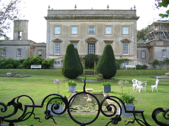
Frampton Court

Frampton Court is a Grade I listed country house and estate of about 1,500 acres (610 ha) in Frampton-on-Severn, Gloucestershire, England. It has been...

WWT Slimbridge

WWT Slimbridge is a wetland wildlife reserve near Slimbridge in Gloucestershire, England. It is midway between Bristol and Gloucester on the eastern side...

Frampton on Severn

Frampton on Severn is a village and civil parish in Gloucestershire, England. The population is 1,432. == Geography == The village is approximately 10...

Cambridge, Gloucestershire

Cambridge ( ) is a hamlet in the district of Stroud, in the county of Gloucestershire, England. It lies on the A38 road between Bristol and Gloucester...

Slimbridge

Slimbridge is a village and civil parish near Dursley in Gloucestershire, England. It is best known as the home of the Wildfowl and Wetlands Trust's Slimbridge...

Fretherne with Saul

Fretherne with Saul is a civil parish in the Stroud district of Gloucestershire, England. It includes the villages of Framilode, Fretherne, Saul and Upper...

Nearby Amenities

Located within 500m of 51.752084,-2.3780434
The data included in this document is from www.openstreetmap.org. The data is made available under ODbL.

Have you been to Church End?

Leave your review of Church End below (or comments, questions and feedback).