Oegrove Covert
Wood, Forest in Gloucestershire Stroud
England
Oegrove Covert
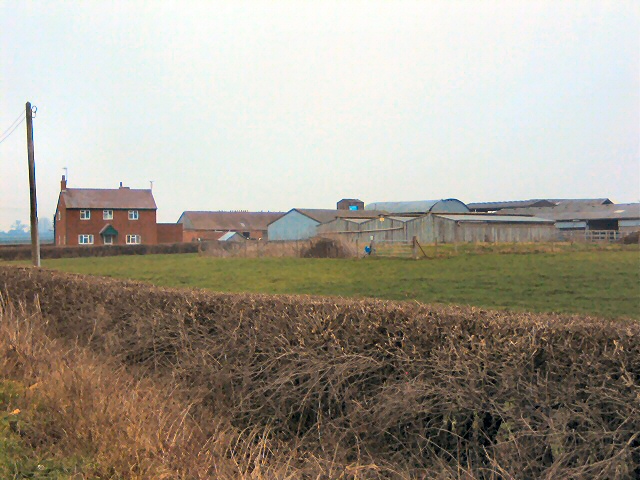
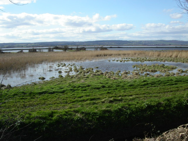
Oegrove Covert, located in Gloucestershire, England, is a charming woodland area known for its natural beauty and tranquil atmosphere. Nestled within the heart of the Forest of Dean, it covers an area of approximately 200 acres, making it a haven for nature enthusiasts and outdoor enthusiasts.
The woodland is predominantly made up of native broadleaf trees, such as oak, beech, and ash, which provide a diverse and rich habitat for a variety of wildlife. Visitors to Oegrove Covert can expect to encounter a plethora of bird species, including woodpeckers, owls, and songbirds, as well as small mammals like deer, foxes, and rabbits.
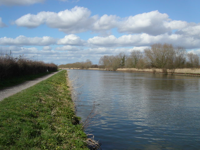
The forest is crisscrossed with a network of well-maintained footpaths and trails, allowing visitors to explore the area at their own pace. For those interested in a more immersive experience, guided walks and nature tours are available, providing an opportunity to learn about the unique flora and fauna that call Oegrove Covert home.
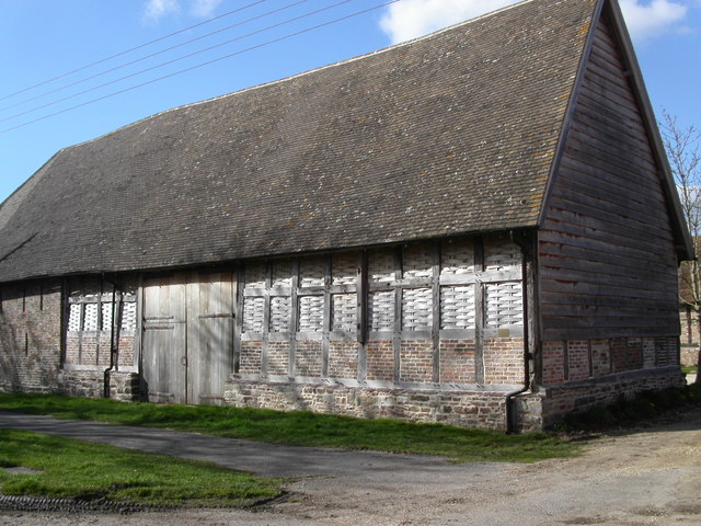
In addition to its natural beauty, Oegrove Covert also boasts a rich cultural history. The woodland has been used for centuries as a source of timber and charcoal, and remnants of this industrial past can still be seen today. Historical landmarks, including old mine shafts and charcoal platforms, offer a glimpse into the area's fascinating past.
Overall, Oegrove Covert is a true gem in the heart of Gloucestershire. Its diverse ecosystem, scenic trails, and historical significance make it a must-visit destination for anyone seeking to immerse themselves in nature and explore the beauty of the Forest of Dean.
If you have any feedback on the listing, please let us know in the comments section below.
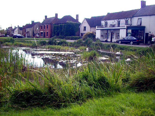
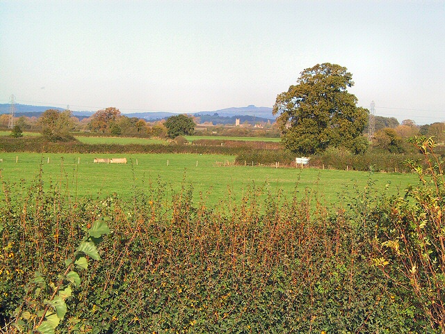
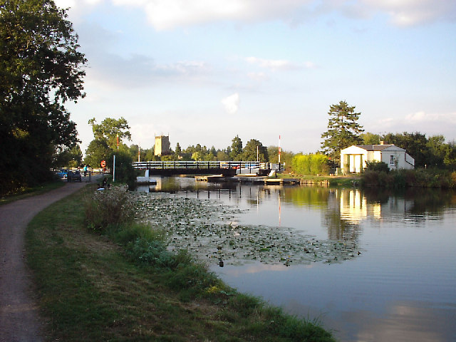
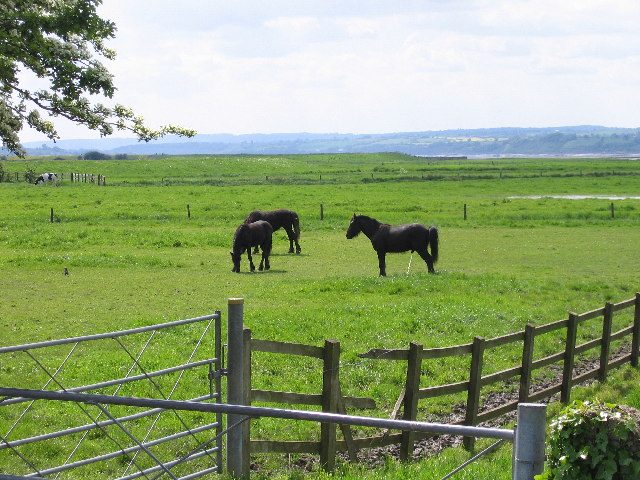
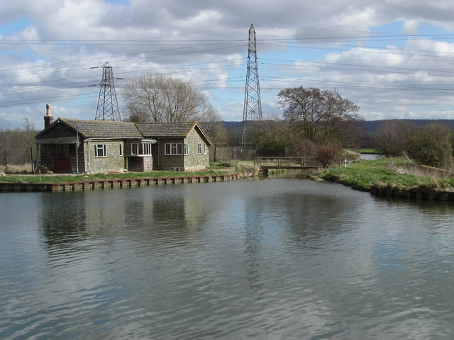
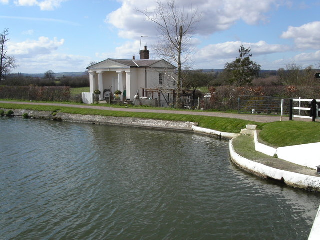
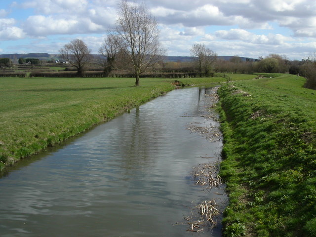
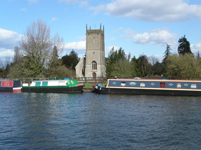
Oegrove Covert Images
Images are sourced within 2km of 51.752428/-2.3657184 or Grid Reference SO7406. Thanks to Geograph Open Source API. All images are credited.
Oegrove Covert is located at Grid Ref: SO7406 (Lat: 51.752428, Lng: -2.3657184)
Administrative County: Gloucestershire
District: Stroud
Police Authority: Gloucestershire
What 3 Words
///conjured.elects.stencil. Near Frampton on Severn, Gloucestershire
Nearby Locations
Related Wikis

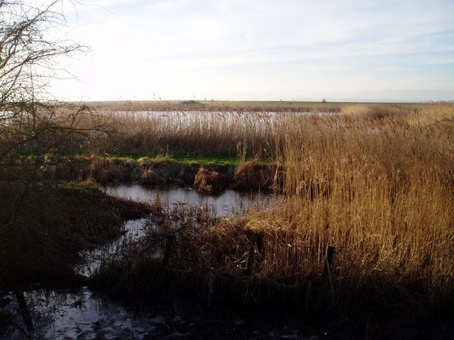
River Cam, Gloucestershire
The River Cam is a small river in Gloucestershire, England. It flows for 12 miles (20 km) north-westwards from the Cotswold Edge, across the Vale of Berkeley...

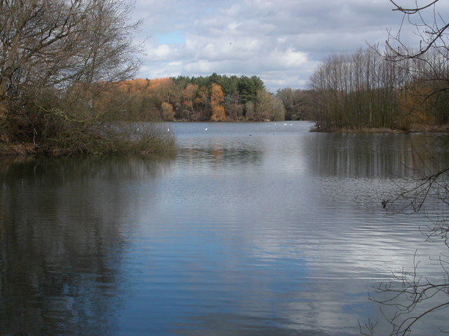
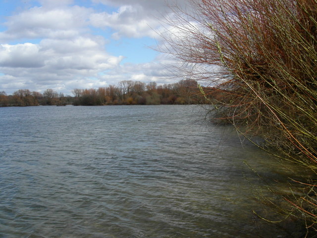
Frampton Pools
Frampton Pools (grid reference SO753073) is a 59.84-hectare (147.9-acre) biological Site of Special Scientific Interest in Gloucestershire, notified in...

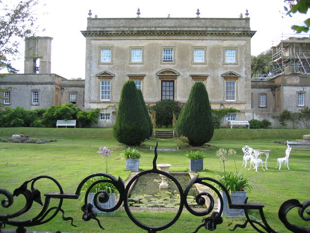
Frampton Court
Frampton Court is a Grade I listed country house and estate of about 1,500 acres (610 ha) in Frampton-on-Severn, Gloucestershire, England. It has been...

Frampton on Severn
Frampton on Severn is a village and civil parish in Gloucestershire, England. The population is 1,432. == Geography == The village is approximately 10...
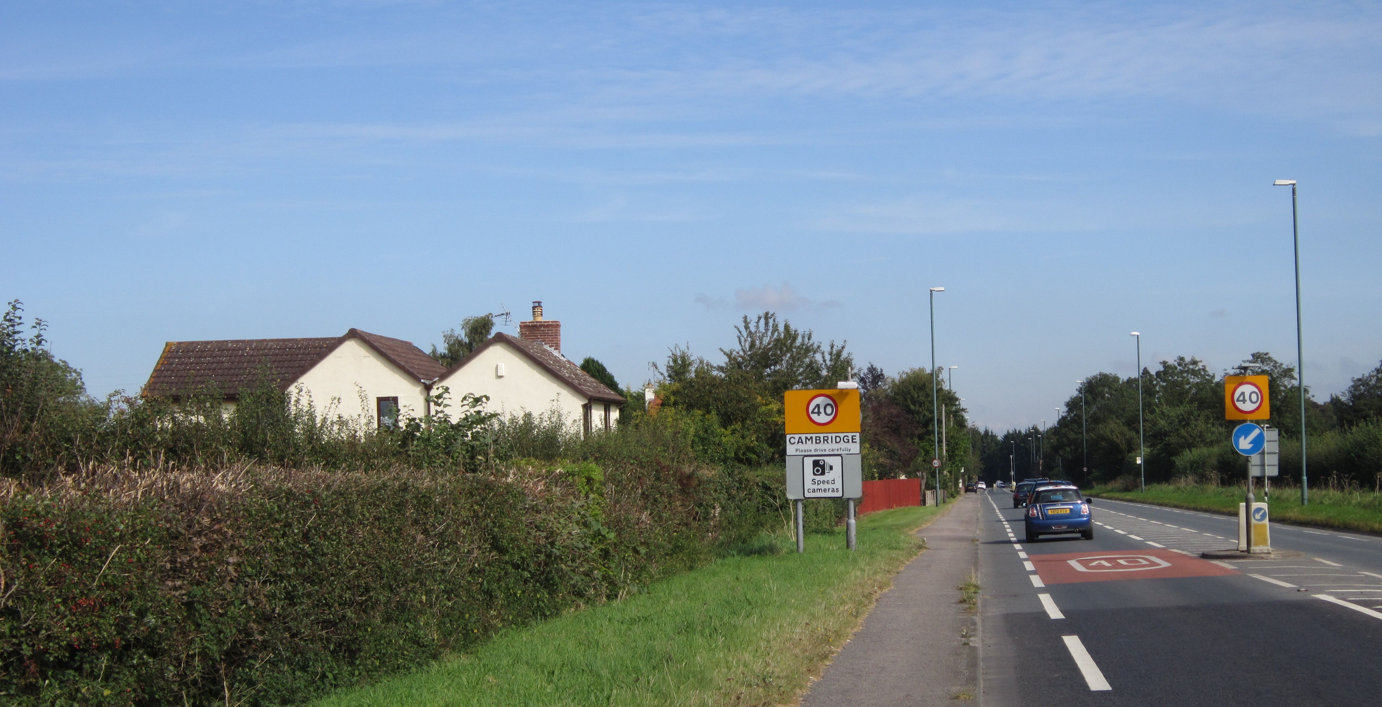
Cambridge, Gloucestershire
Cambridge ( ) is a hamlet in the district of Stroud, in the county of Gloucestershire, England. It lies on the A38 road between Bristol and Gloucester...

Alkerton, Gloucestershire
Alkerton is a village in Gloucestershire, England. It is located along the M5 motorway just east of the River Severn. It is part of the parish of Eastington...

Eastington, Stroud
Eastington is a village and civil parish in the Gloucestershire, England. It lies 4 miles west of Stroud and 9 miles south of Gloucester at the entrance...

Slimbridge
Slimbridge is a village and civil parish near Dursley in Gloucestershire, England. It is best known as the home of the Wildfowl and Wetlands Trust's Slimbridge...
Nearby Amenities
Located within 500m of 51.752428,-2.3657184Have you been to Oegrove Covert?
Leave your review of Oegrove Covert below (or comments, questions and feedback).