Nyland Withy Bed
Wood, Forest in Dorset
England
Nyland Withy Bed
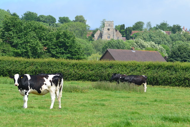
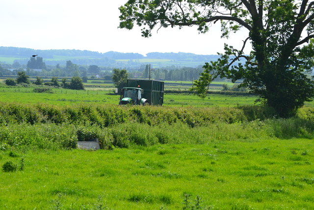
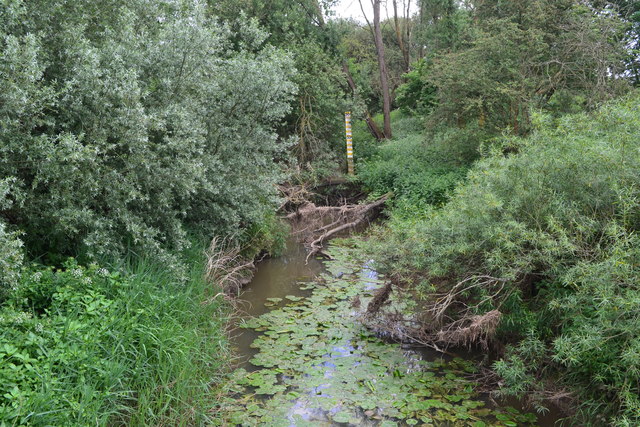
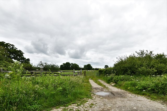
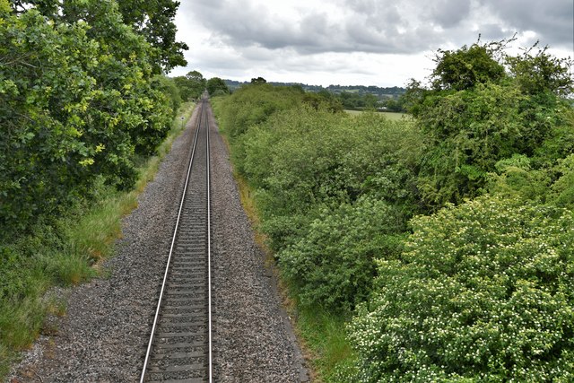
Nyland Withy Bed is a picturesque woodland located in the county of Dorset, England. It covers an area of approximately 200 acres and is known for its diverse range of flora and fauna. The woodland is situated on the outskirts of the village of Nyland, providing a tranquil and serene environment for visitors to explore.
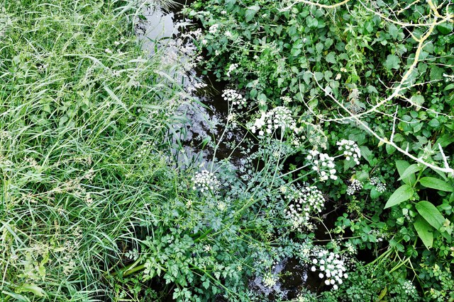
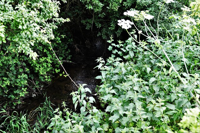
The woodland is predominantly made up of deciduous trees, including oak, beech, and birch, which create a dense canopy and provide shade during the summer months. The forest floor is adorned with a rich carpet of wildflowers, such as bluebells, primroses, and wood anemones, adding bursts of color to the landscape.
Nyland Withy Bed is home to a variety of wildlife species, making it a popular destination for nature enthusiasts and wildlife photographers. Visitors may encounter deer, badgers, foxes, and a wide range of bird species, including woodpeckers, owls, and various songbirds. The woodland also supports a diverse collection of insects, including butterflies and dragonflies.
There are several walking trails and pathways that wind their way through Nyland Withy Bed, offering visitors the opportunity to explore the different areas of the woodland. These trails are well-maintained and suitable for all ages and abilities. Additionally, there are designated picnic areas where visitors can relax and enjoy the peaceful surroundings.
Nyland Withy Bed is an important site for conservation and is managed by the local authorities to ensure the preservation of its natural beauty. It provides a valuable habitat for wildlife and offers a peaceful retreat for visitors seeking solace in nature.
If you have any feedback on the listing, please let us know in the comments section below.
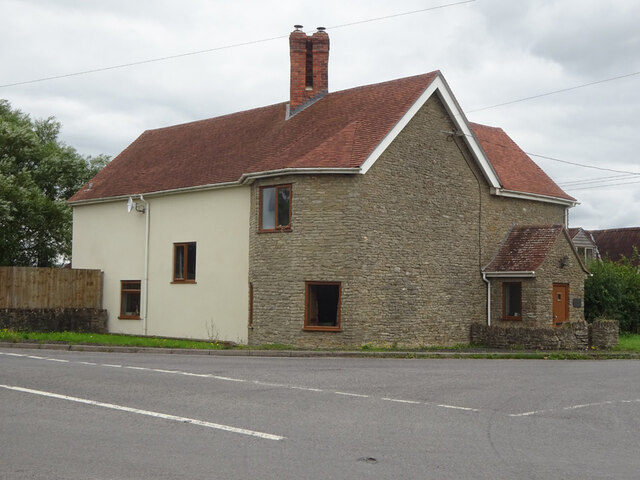
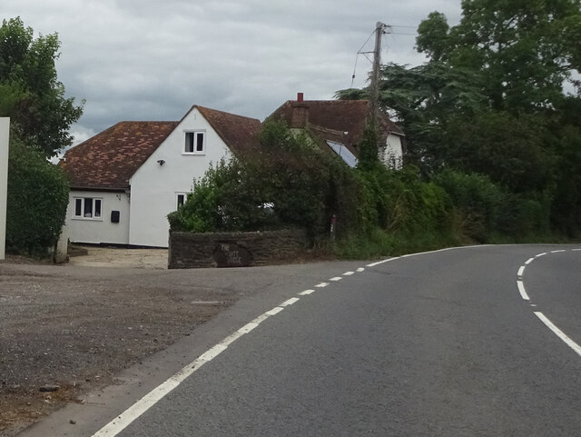
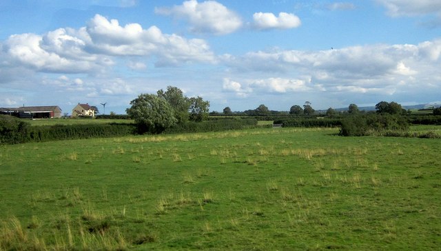
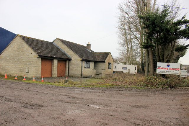
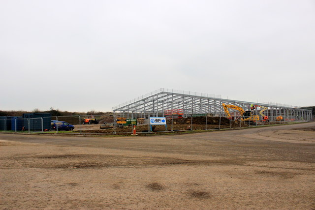
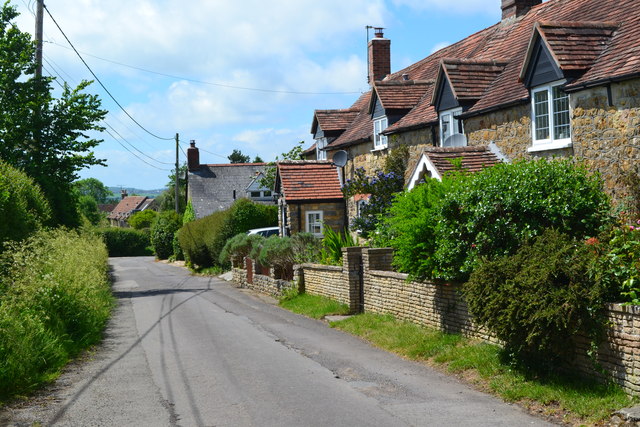
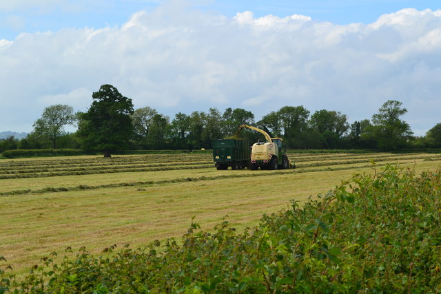
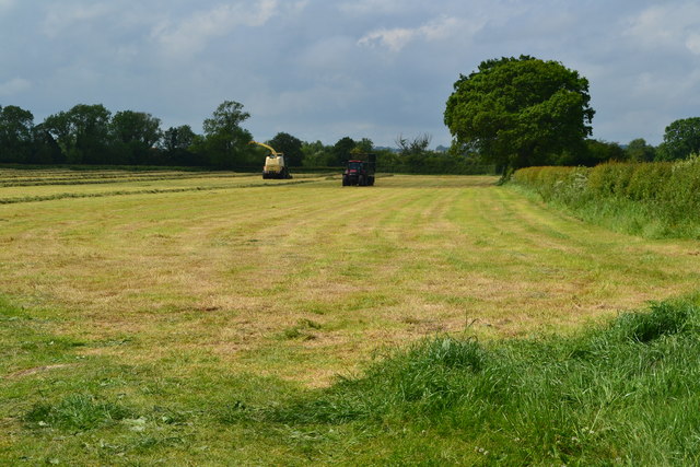
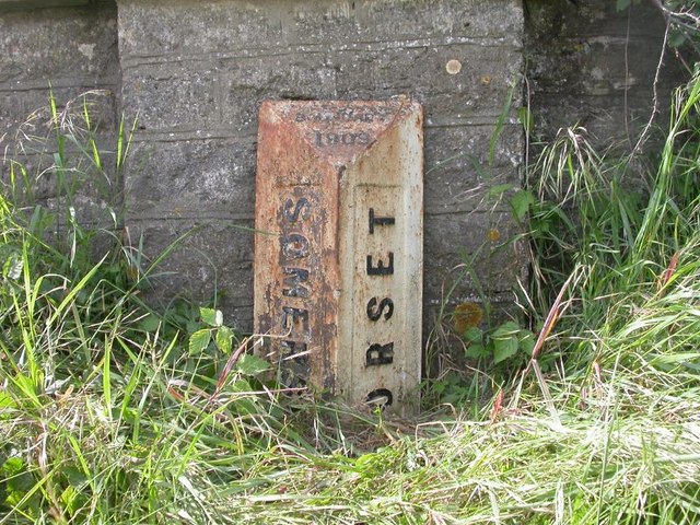
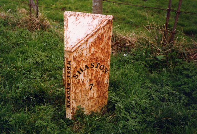
Nyland Withy Bed Images
Images are sourced within 2km of 50.999563/-2.3597354 or Grid Reference ST7422. Thanks to Geograph Open Source API. All images are credited.
Nyland Withy Bed is located at Grid Ref: ST7422 (Lat: 50.999563, Lng: -2.3597354)
Unitary Authority: Dorset
Police Authority: Dorset
What 3 Words
///sticking.lawfully.buying. Near Henstridge, Somerset
Nearby Locations
Related Wikis

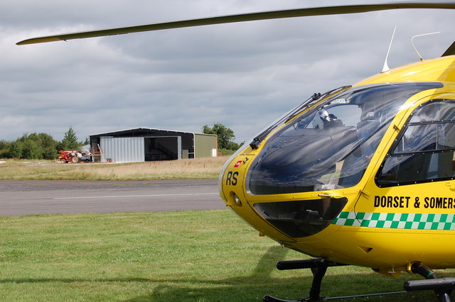
Dorset and Somerset Air Ambulance
The Dorset and Somerset Air Ambulance is a registered charity, which uses a helicopter to provide an air ambulance service to the English counties of Dorset...

Kington Magna
Kington Magna is a village and civil parish in the Blackmore Vale area of Dorset, England, about 3+1⁄2 miles (5.5 kilometres) southwest of Gillingham....
RNAS Henstridge (HMS Dipper)
Royal Naval Air Station Henstridge (RNAS Henstridge; or HMS Dipper) is a former Royal Navy Fleet Air Arm airbase, located 7 miles (11 km) west of Shaftesbury...

Buckhorn Weston
Buckhorn Weston is a village and civil parish in the English county of Dorset, situated in the Blackmore Vale about 3 miles (5 kilometres) west of the...
Related Videos


Linear fisheries, Coking Farm Summer Road trip 2021 feat @jackscarpantics
Summer Road trip 2021 l. Great trip away with some nice fish on the matt.

Henstridge Airfield Camp
Went with Scouts on a camp to Henstridge Airfield.

The Yakovlevs make Skytyping history
The culmination of eight years preparation, The Yakovlevs Aerobatic Display Team brings Skytyping to the UK.
Nearby Amenities
Located within 500m of 50.999563,-2.3597354Have you been to Nyland Withy Bed?
Leave your review of Nyland Withy Bed below (or comments, questions and feedback).