Church Eaton
Settlement in Staffordshire Stafford
England
Church Eaton
Church Eaton is a small village located in the county of Staffordshire, England. Situated approximately 9 miles northeast of the county town of Stafford, Church Eaton is known for its rural charm and picturesque setting.
With a population of around 500 residents, the village is characterized by its close-knit community atmosphere. The center of the village revolves around St. Editha's Church, a Grade II listed building dating back to the 12th century. The church serves as a focal point for both religious and community activities.
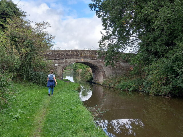
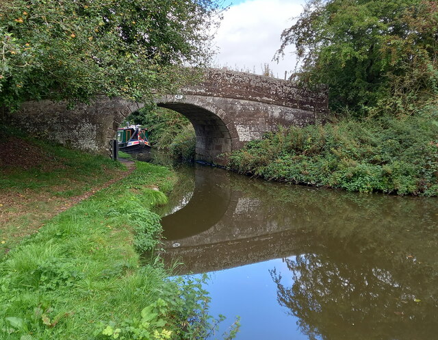
Surrounded by the beautiful Staffordshire countryside, Church Eaton offers stunning views and a tranquil environment. The village is surrounded by rolling hills, farmlands, and meandering streams, providing ample opportunities for outdoor activities such as walking, hiking, and cycling.
Facilities in Church Eaton include a village hall, a primary school, and a local pub, which serves as a popular meeting place for residents. The village also hosts various community events throughout the year, including festivals, fairs, and charity fundraisers.
Despite its small size, Church Eaton benefits from its proximity to larger towns and cities. The nearby town of Stafford offers a wide range of amenities, including shopping centers, restaurants, and leisure facilities. Additionally, the village enjoys good transport links, with regular bus services connecting it to surrounding areas.
In summary, Church Eaton is a charming village with a strong sense of community and a beautiful rural setting. Its historic church, stunning countryside, and proximity to larger towns make it an attractive place to live or visit.
If you have any feedback on the listing, please let us know in the comments section below.
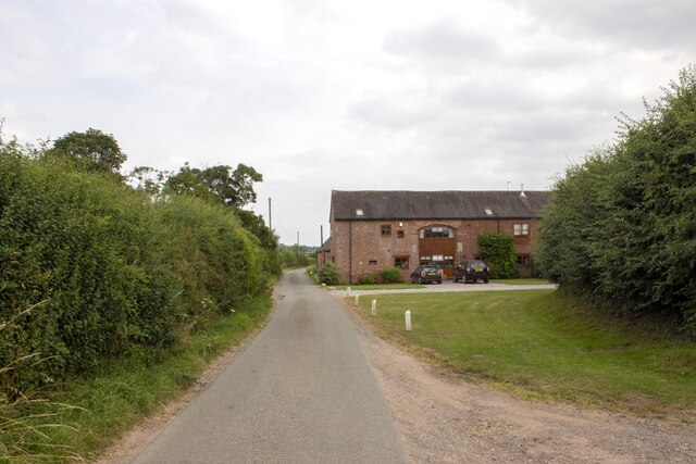
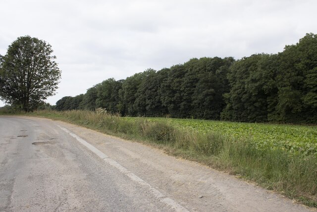
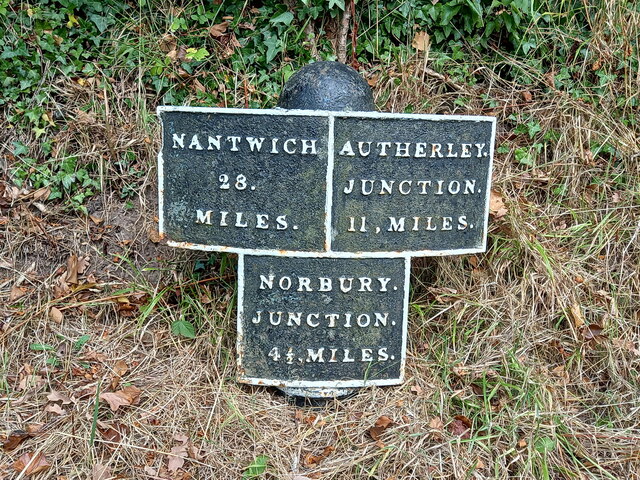
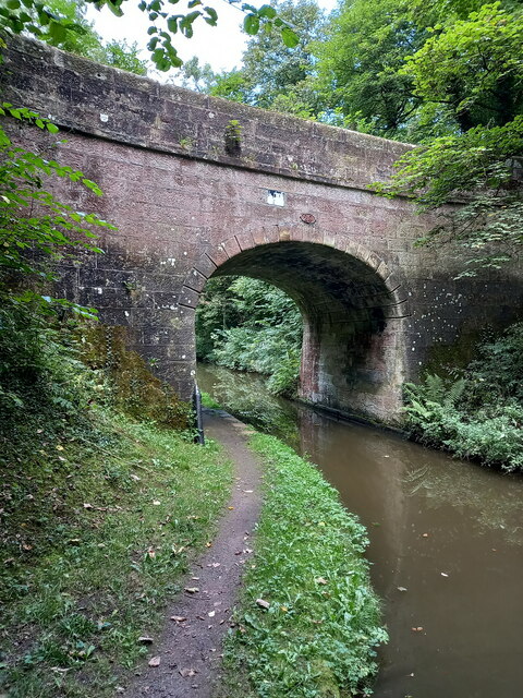
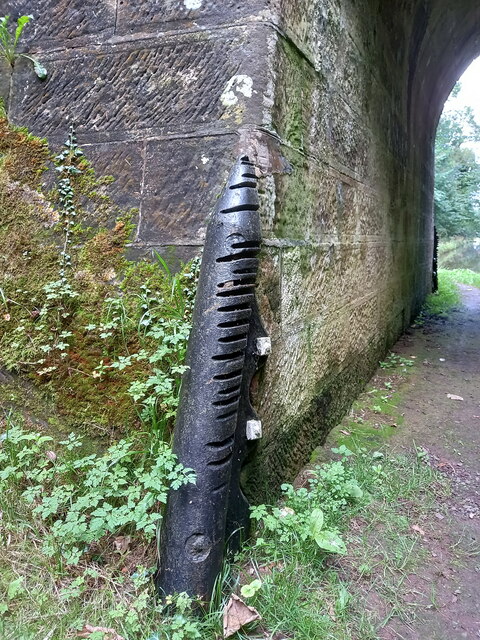
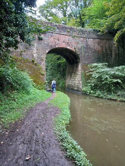
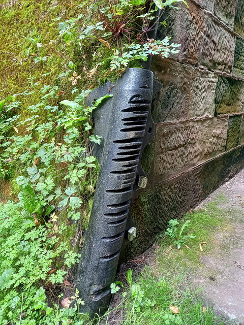
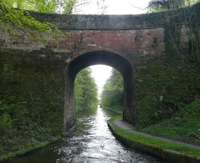
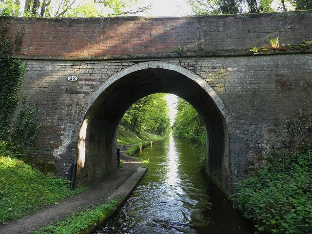
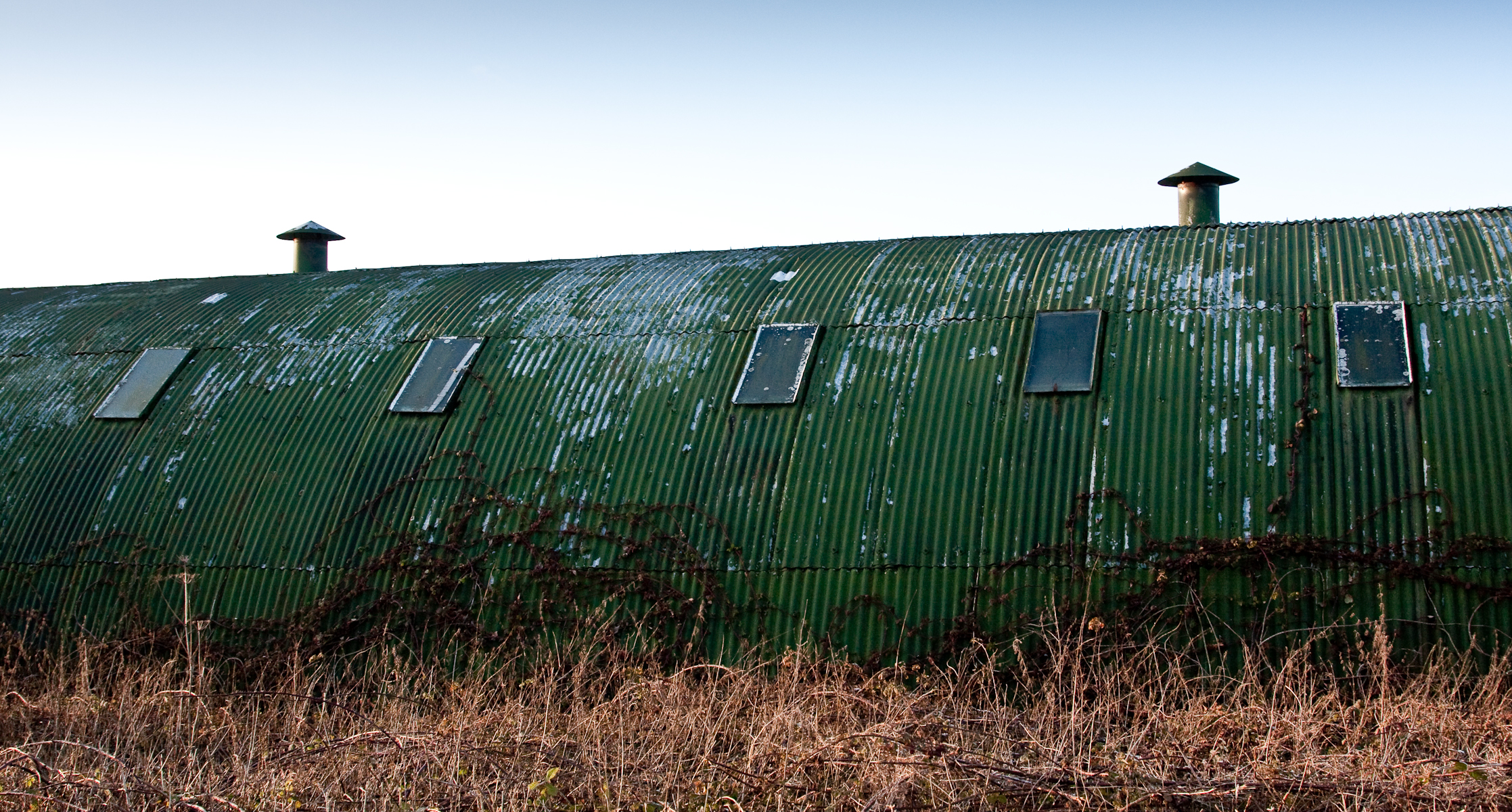
Church Eaton Images
Images are sourced within 2km of 52.755344/-2.233085 or Grid Reference SJ8417. Thanks to Geograph Open Source API. All images are credited.
Church Eaton is located at Grid Ref: SJ8417 (Lat: 52.755344, Lng: -2.233085)
Administrative County: Staffordshire
District: Stafford
Police Authority: Staffordshire
What 3 Words
///keen.thundered.bunny. Near Gnosall, Staffordshire
Nearby Locations
Related Wikis

Church Eaton
Church Eaton is a village and civil parish in Staffordshire some 6 miles (10 km) southwest of Stafford, 6 miles (10 km) northwest of Penkridge and 4 miles...

Apeton
Apeton is a hamlet in Staffordshire in the West Midlands region of England. It is located 5+1⁄2 miles (8.9 km) southwest of Stafford, in the civil parish...

Allimore Green
Allimore Green is a small hamlet in Staffordshire, England, 1 mile north-east of Church Eaton. It is the location of a Site of Special Scientific Interest...

High Onn
High Onn is a hamlet near the village of Wheaton Aston, in the English county of Staffordshire. == See also == Listed buildings in Church Eaton == References... ==
Little Onn
Little Onn is a hamlet in Staffordshire, England located in open countryside 1 mile (2 km) north of Wheaton Aston. It is the location of the former Second...

RAF Wheaton Aston
Royal Air Force Wheaton Aston, or more simply RAF Wheaton Aston, was a Royal Air Force station located just outside of the village of Wheaton Aston in...

Gnosall railway station
Gnosall railway station was a station in Gnosall, Staffordshire, England. The station was opened in June 1849 and closed on 7 September 1964. == References... ==

Brazenhill
Brazenhill is rural area immediately north of the village of Haughton in Staffordshire, England. It is effectively defined by Brazenhill Lane which is...
Nearby Amenities
Located within 500m of 52.755344,-2.233085Have you been to Church Eaton?
Leave your review of Church Eaton below (or comments, questions and feedback).