Church End
Settlement in Worcestershire Malvern Hills
England
Church End

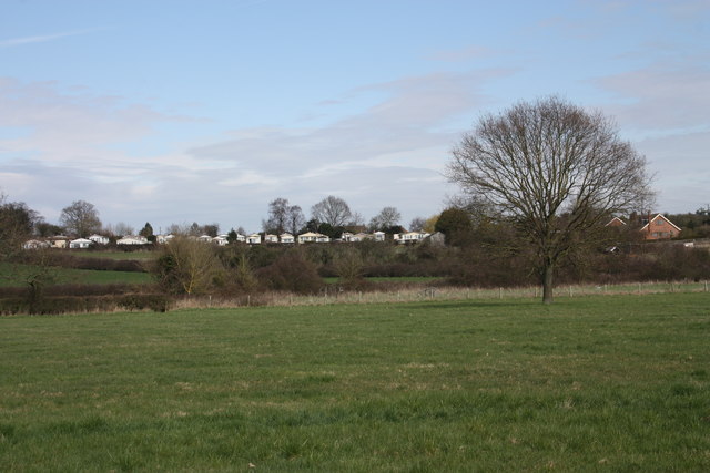
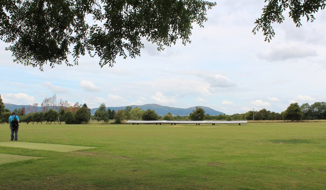
Church End is a small village located in the county of Worcestershire, England. It is situated approximately six miles north of the town of Worcester and is part of the Wychavon district. The village is nestled in a rural setting, surrounded by picturesque countryside and rolling hills.
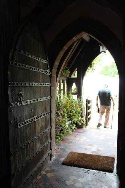
The focal point of Church End is the St. John the Baptist Church, which dates back to the 12th century and is a prominent feature of the village. The church is known for its beautiful architecture, including a Norman doorway and a medieval font. It serves as a hub for the local community, hosting regular religious services and various community events.
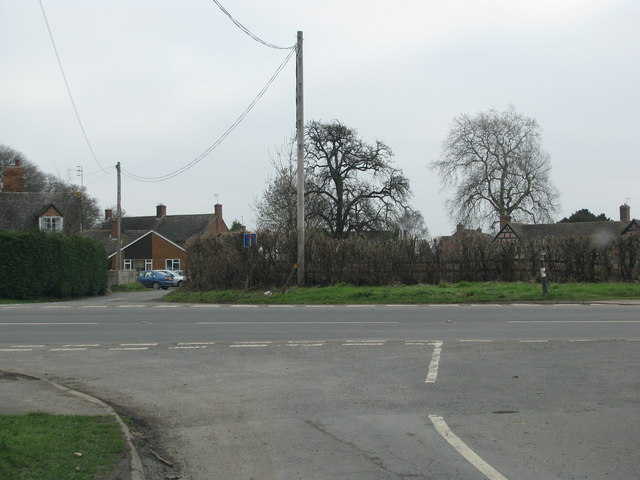
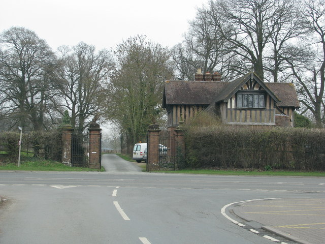
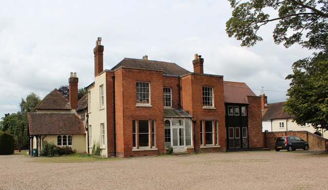
The village itself consists of a cluster of charming cottages and houses, many of which have retained their traditional character and architectural style. The tranquil atmosphere, combined with the natural beauty of the surrounding landscape, makes Church End an ideal location for those seeking a peaceful and idyllic rural lifestyle.
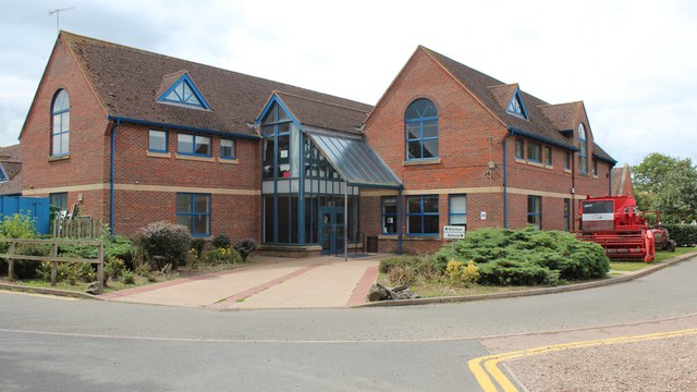
Despite its small size, Church End benefits from a strong sense of community spirit, with residents actively participating in local activities and events. The village also has a few amenities, including a village hall and a small shop for basic necessities. For further amenities and services, residents can easily access nearby towns and cities such as Worcester or Droitwich Spa.
Overall, Church End, Worcestershire offers a quintessential English village experience, with its historic church, picturesque setting, and close-knit community. It provides a serene and peaceful environment, making it an attractive place to live for those seeking a slower pace of life.
If you have any feedback on the listing, please let us know in the comments section below.
Church End Images
Images are sourced within 2km of 52.067107/-2.2494078 or Grid Reference SO8341. Thanks to Geograph Open Source API. All images are credited.


Church End is located at Grid Ref: SO8341 (Lat: 52.067107, Lng: -2.2494078)
Administrative County: Worcestershire
District: Malvern Hills
Police Authority: West Mercia
What 3 Words
///differ.patrol.storeroom. Near Upton upon Severn, Worcestershire
Nearby Locations
Related Wikis

Hanley Castle (castle)
Hanley Castle was a Norman castle that stood to the south of the present-day site of the village of Hanley Castle, which lies 2 km north of Upton-upon...
Brotheridge Green Nature Reserve
Brotheridge Green Nature Reserve is a nature reserve of the Worcestershire Wildlife Trust at Brotheridge Green, about 2.5 miles (4.0 km) west of Upton...

Hanley Castle High School
Hanley Castle High School is a non-selective mixed secondary school and sixth form centre located in the village of Hanley Castle, 1.4 miles (2.2 km) from...

Hanley Castle
Hanley Castle is a village and civil parish in Worcestershire, England, between the towns of Malvern and Upton upon Severn and a short distance from the...

Battle of Upton
The Battle of Upton was fought on 28 August 1651 when a New Model Army detachment under the command of Colonel John Lambert made a surprise attack on Royalists...

Upton-upon-Severn
Upton-upon-Severn (or Upton on Severn, etc. and locally simply Upton) is a town and civil parish in the Malvern Hills District of Worcestershire, England...
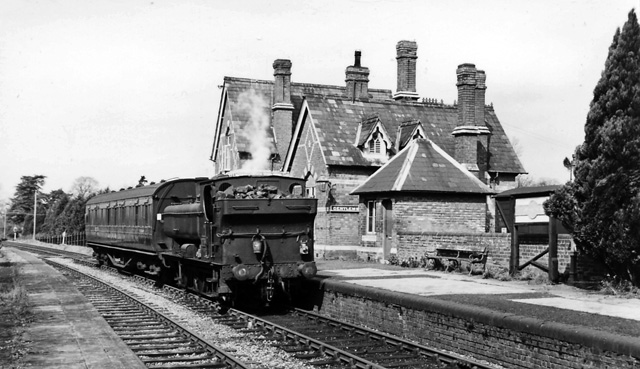
Upton-on-Severn railway station
Upton-on-Severn railway station was a railway station serving Upton-on-Severn in the English county of Worcestershire. == History == It was opened...

Hanley Swan
Hanley Swan is a small village in the English county of Worcestershire. It lies in the Malvern Hills district, between the towns of Malvern (two miles...
Nearby Amenities
Located within 500m of 52.067107,-2.2494078Have you been to Church End?
Leave your review of Church End below (or comments, questions and feedback).